October 10th and 11th, 2025
When I arrived at Canyonlands National Park, the vast plateau of the Island in the Sky stretched before me like an immense stone fortress rising above the desert. The early autumn sun was already high, the light sharp and blinding,
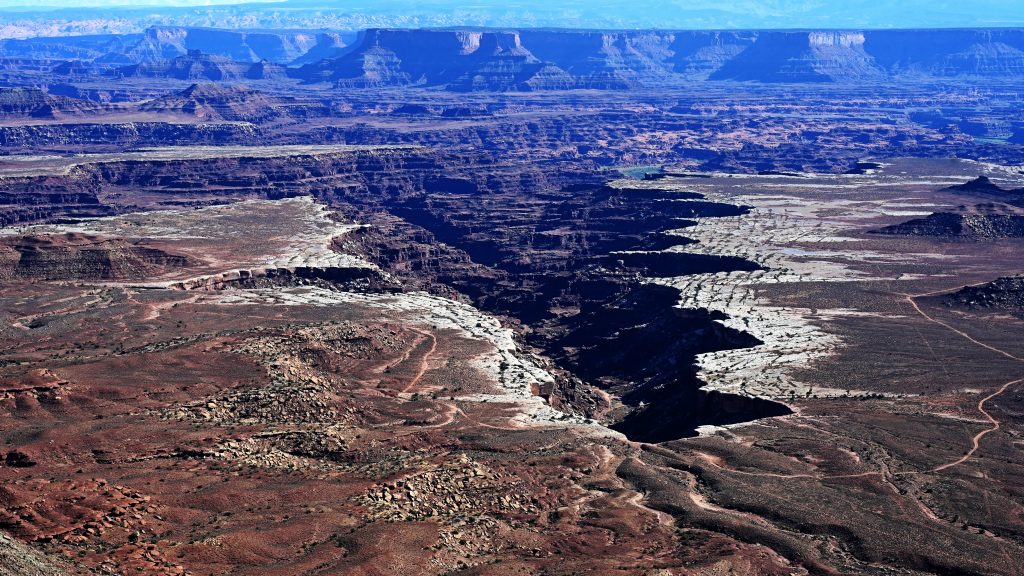
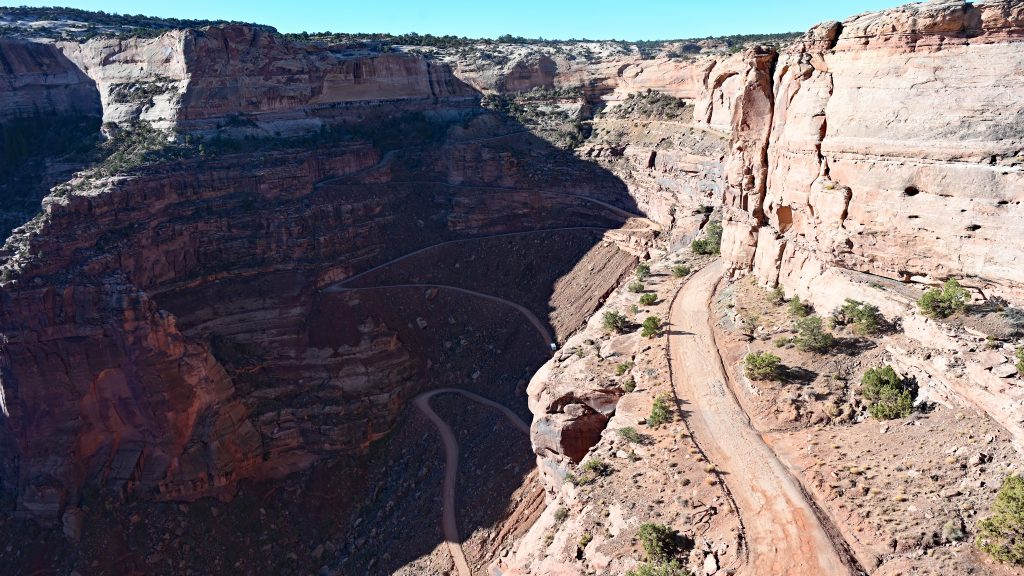
and the shadows too short to reveal the true depth of the canyons. My first stop was the Shafer Trail Overlook, but the sun stood stubbornly on the wrong side, turning the landscape into a glare of pale sandstone and white sky. The canyon below, cut by the Shafer Trail’s dizzying switchbacks, seemed to vanish in a haze of light. I decided to move on and return later, hoping for gentler light.
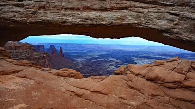
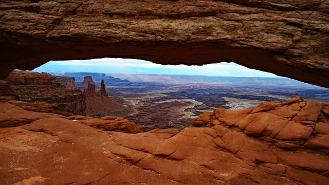
The next stop was Mesa Arch, a graceful natural stone arch perched right on the edge of a sheer cliff. It’s a pothole arch—delicate yet strong—framing an endless panorama of red canyons, pinnacles, and distant towers. From beneath its curve, I could see Monster Tower, Washer Woman Arch, and Airport Tower rising like ancient sentinels, with the snow-dusted La Sal Mountains shimmering faintly on the horizon. The La Sals looked almost unreal in the dry desert air—soft blue silhouettes with streaks of lingering white, their peaks floating above the ochre and crimson maze below. The midday light was still too harsh, bleaching the colors,
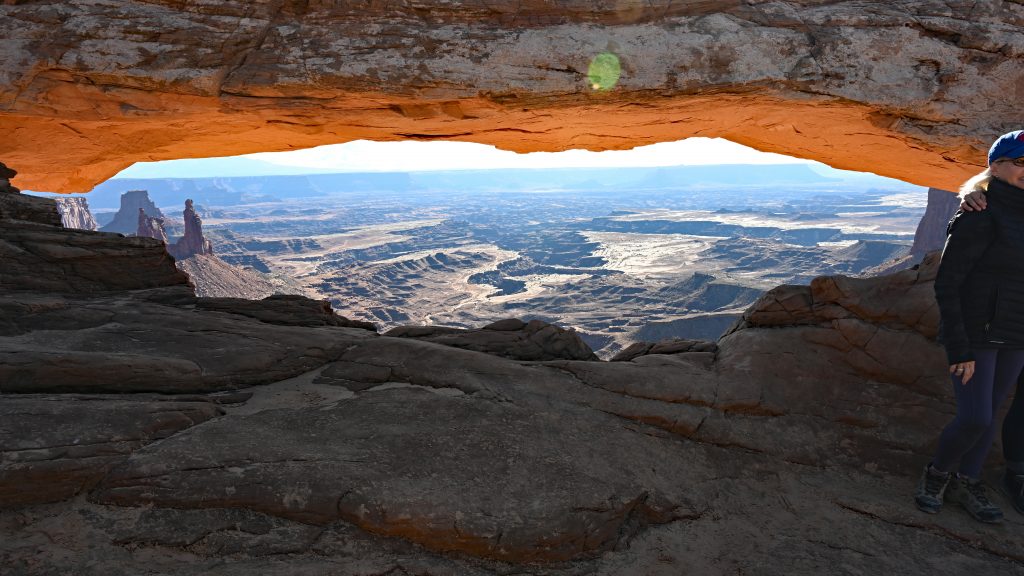
so I decided to come back later, when the rock might glow in the warm evening tones it’s famous for.
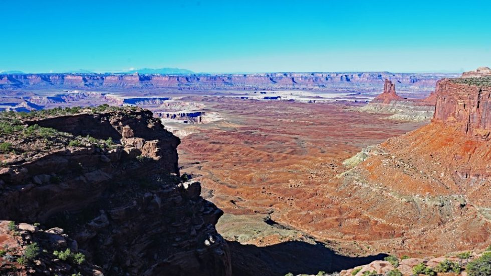
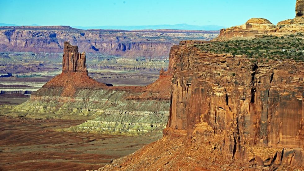
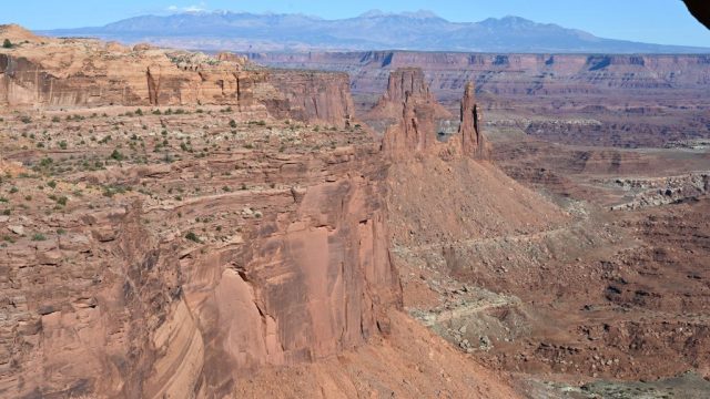
I continued along the rim to the Candlestick Tower Overlook, a small roadside pullout with an enormous view. Below me stretched a labyrinth of canyons, carved by the Colorado River over millions of years. In the center stood Candlestick Tower, a 450-foot-tall sandstone butte, narrow and straight like a candle on a giant’s table.
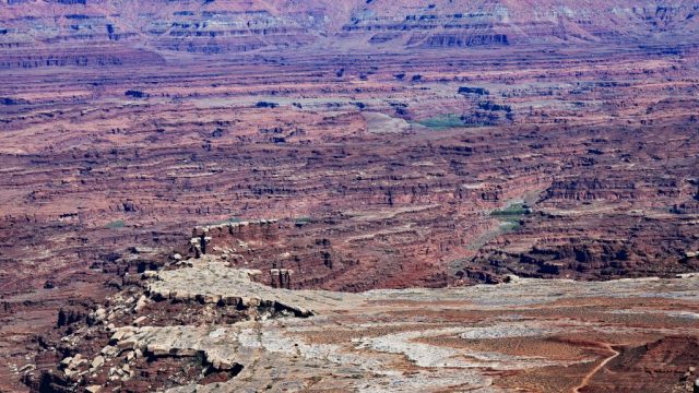
Its vertical cliffs of Wingate Sandstone glowed in rich tones of red and burnt orange, banded with pale streaks of tan and white. This stone was once a sea of windblown dunes, hardened and preserved from the Late Triassic—two hundred million years of geologic memory standing proud against the sky. From up here, the White Rim Trail wound across the lower plateau, 1,400 feet below, tracing a delicate line along the canyon edges like a ribbon of dust.
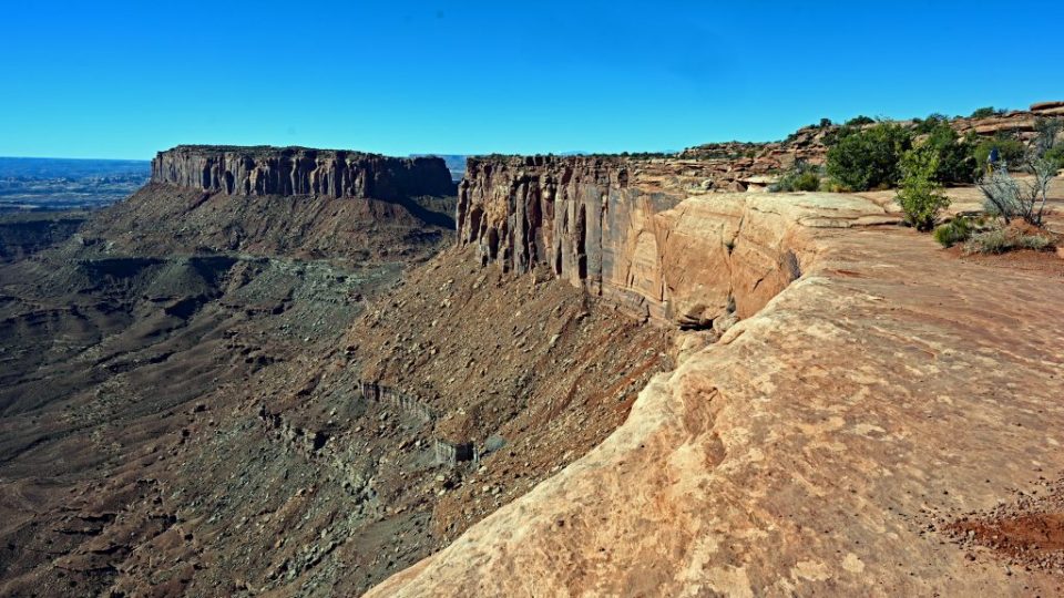
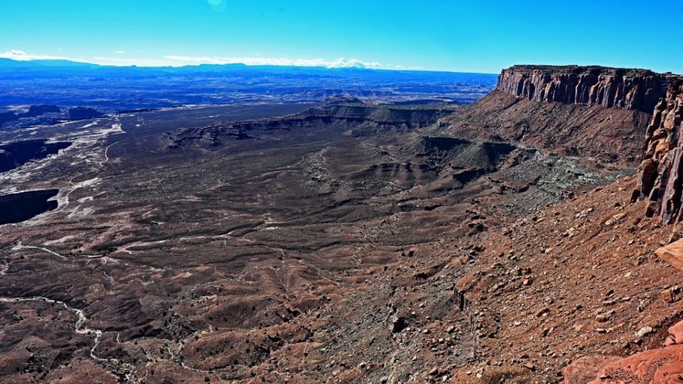
At the Grand View Overlook, the landscape opened into a breathtaking panorama that felt almost infinite.
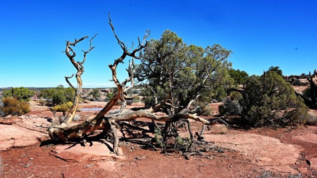
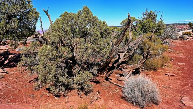
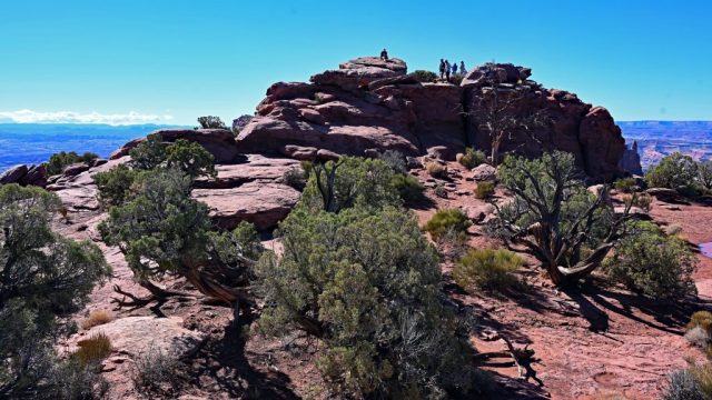
From the overlook, I followed the one-mile trail that meanders along the rim toward a prominent rock at the end of the path. On the way, I passed clusters of twisted desert trees, their branches bent and gnarled as if split open by time itself. Their bark was rough and silvered, the limbs curling against the blue sky in wild, sculptural shapes. I have seen these trees often in the desert, yet I am always fascinated anew by their resilience and grace—how they twist and endure under the relentless sun and wind, turning hardship into beauty.
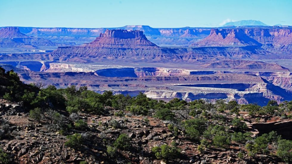
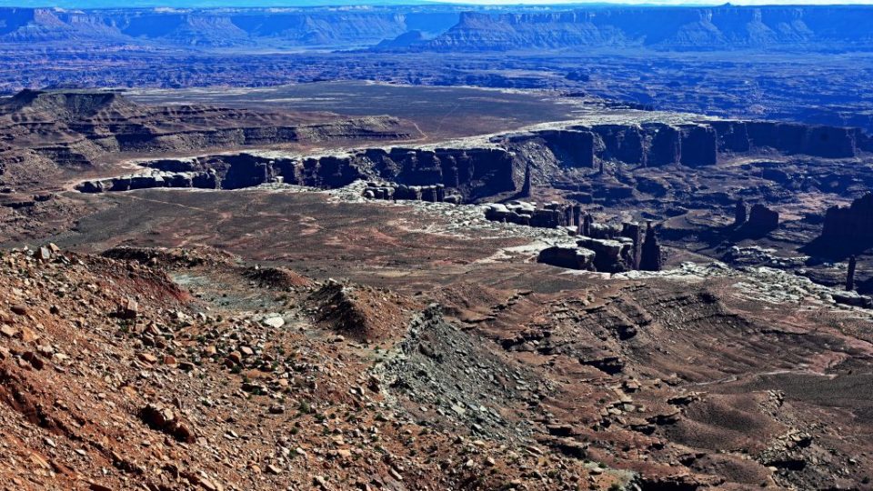
When I reached the end of the trail, I climbed up onto the rock. From there, the world seemed to open completely—layer upon layer of canyons, mesas, and cliffs stretching out toward a hazy horizon. The view extended across miles of rugged country: the White Rim four-wheel-drive road below, the distant lands of The Maze and The Needles, and the faint outlines of mountains beyond. The light was still bright and flat, but the scale of the landscape was overwhelming—it made me feel both tiny and deeply alive.
Before continuing, I stopped at the parking area for the White Rim Overlook Trail and decided it was time for lunch. I cooked a simple meal—carrot salad, some brownies, and the rest of my pork tenderloin. It felt good to eat something I had prepared myself, with the wind carrying the scent of sagebrush and the hum of distant silence all around. Then I hiked the short trail to the overlook, reaching the end around 2:30 p.m. I sat there for half an hour, watching light and shadow play across the canyons. The horizon was lined again by the La Sal Mountains, their outlines softened now by afternoon haze, their color shifting between lavender and smoky blue.
By four o’clock, I was back at Mesa Arch. The light had improved, the rocks now glowing in warm amber and rust tones, but it was still too early for the famous sunset. I decided to return the next morning for sunrise—the time when the arch is said to catch fire with the first light of dawn.
That evening, I returned briefly to the Shafer Trail Viewpoint, arriving just a few minutes too late for perfect light. Still, the canyon glowed softly in the fading sun. Below, the serpentine road of the Shafer Trail wound into the depths, its red walls glowing like embers.
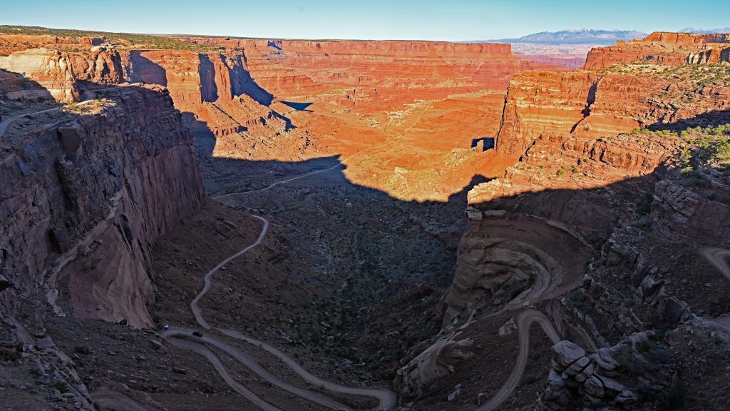
Near the Visitor Center, which had already closed, I organized my photos on the laptop. A man from India arrived soon after with a U.S. traveler; he had driven too close to the edge on the Shafer Trail, and one of his front tires was hanging off the road. As he made a few worried phone calls, the desert turned slowly to twilight, the last light touching the cliffs in faint rose and violet tones.
I spent the night at the Cowboy Campground, a quiet place under the vast Utah sky, so I wouldn’t lose time in the morning.
At 5:50 the next morning, I was already on the road, heading toward the Visitor Center for a quick coffee before driving again to Mesa Arch. Halfway there, the sky turned gray and it began to rain heavily. For a moment, I thought about turning back—but just as I reached the parking area, the rain stopped. The air was cold and clear, the ground damp and fragrant with wet earth. I grabbed my camera and tripod and hiked through the half-light toward the arch.
I arrived in time and set up, waiting for the sunrise. But the clouds were too thick. The sun never broke through. The landscape stayed dim and gray, the famous fiery glow never appeared. It was disappointing, but still strangely beautiful—the arch framed a moody, misty canyon, and the La Sal Mountains appeared faintly through the low clouds, their snowcaps gleaming silver in the diffuse light.
At 8:10, I packed my gear just as the rain returned. Within minutes, heavy drops fell again, drumming on the car roof. I drove back toward Moab, stopping at McDonald’s to write this report while watching the rain fall steadily outside.
By noon, the rain eased, but more storms were forecast for tomorrow. Since I would need a permit for Arches National Park, I decided to drive on to Kayenta, hoping to catch the sunset at Monument Valley instead. The desert has its own rhythm—sun, stone, rain, and wind—and all I could do was follow it.
