Trailhead: Cypress Bowl Road (parking near the Cypress Falls Park entrance)
Distance: ~10,6 – 12,1 km
Elevation Gain: ~400 m
Duration: 3–4.5 hours
Difficulty: Moderate
Route Type: Loop / Out & Back with connector
Best Season: Spring to Fall
Trail Overview
This route offers a beautiful mix of lush rainforest, cascading waterfalls, canyon views, and a serene lake, all within close reach of Vancouver. Starting at Cypress Falls Park, the trail leads you past Lower and Upper Cypress Falls, continues through a quiet forest with occasional canyon lookouts, and then connects to the Whyte Lake trail system for a peaceful finish at the lake.
Trail Description
Cypress Falls Trailhead to Lower Falls
The hike begins at the Cypress Falls Park entrance off Woodgreen Place. The trail quickly plunges into a rich second-growth forest of cedar and Douglas fir. After just 5–10 minutes, you’ll reach the Lower Falls, in spring, a powerful and photogenic cascade flowing through a rugged gorge. Unfortunately, end of July, the power is much less. A wooden viewpoint gives you a safe, elevated view of the falls.
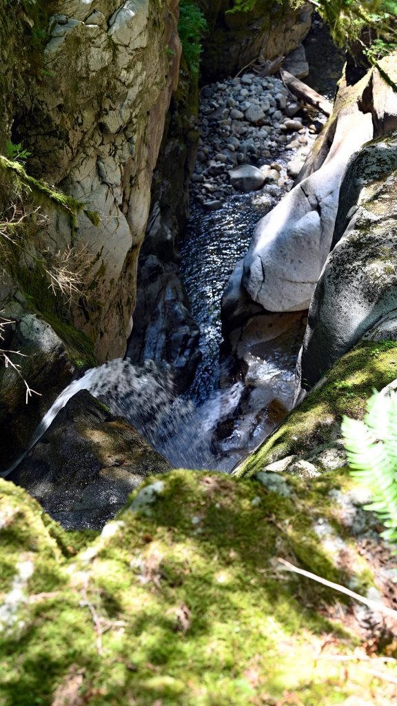
After just 5–10 minutes, you’ll reach the Lower Falls, in spring, a powerful and photogenic cascade flowing through a rugged gorge. Unfortunately, end of July, the power is much less. A wooden viewpoint gives you a safe, elevated view of the falls.
Lower Falls to Upper Falls
Continuing uphill, the trail becomes narrower and more rooty. Along the way, you’ll pass several lookouts along the gorge, where you can peek down at the fast-flowing river below. After about 30 minutes, you’ll reach the Upper Falls, which are equally impressive—often less crowded and surrounded by mossy rocks and towering trees. There’s a small clearing here with a partial view from the side of the falls, perfect for a break.
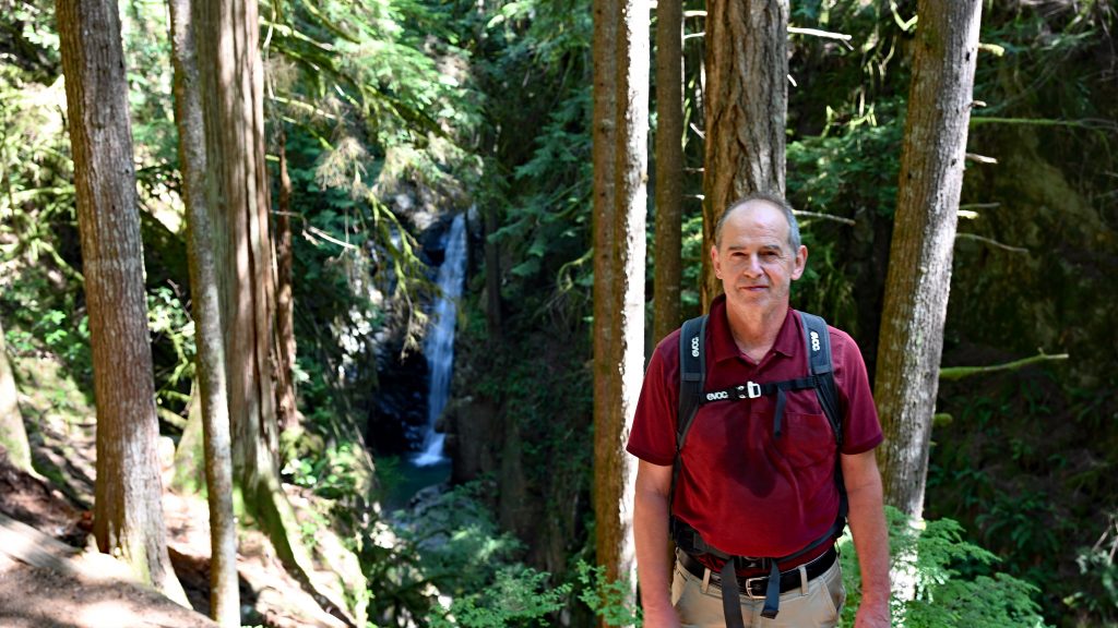
📸 Scenic Tip: One of the best lookout spots is just above the Upper Falls where the canyon opens up slightly—this is a great place to appreciate the scale of the gorge and snap some dramatic photos.
Connecting to Whyte Lake
From the Upper Falls area, look for an unmarked connector trail heading east (this can be overgrown, so GPS or a downloaded trail map is helpful). After about 10–15 minutes of steady climbing, you’ll merge with the Whyte Lake trail network near the Trans Canada Trail / BP Trail junction.
From here, continue along the forested trail toward Whyte Lake, passing through old-growth groves and a few more lookout clearings that offer glimpses back toward Horseshoe Bay and the ocean on clear days.
Whyte Lake
Whyte Lake is a peaceful forest lake with a small floating dock, perfect for a mid-hike rest or picnic. On warm days, you might see locals dipping their feet or even swimming. The lake is surrounded by cedars and hemlocks, giving it a secluded, almost alpine feel despite being so close to the city.
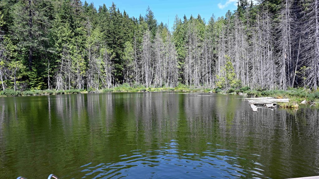
🪵 Pro Tip: There are benches and logs along the shore—ideal for birdwatching or just enjoying the stillness of the lake.
Return Route
You can either return the way you came (via the Upper Falls and Cypress Falls Park) or complete a loop via the Whyte Lake trailhead down to Westport Road, then walk back along Woodgreen Drive (adding about 1.5 km along roads).
Tips
- Footwear: Wear sturdy hiking shoes—roots and wet sections can be slippery.
- Navigation: Bring a map or GPS; the connector from Cypress Falls to Whyte Lake isn’t well-marked.
- Parking: Free street parking is available near the trailhead at Cypress Falls Park.
- Dogs: Allowed on leash; Whyte Lake is popular with dog walkers.
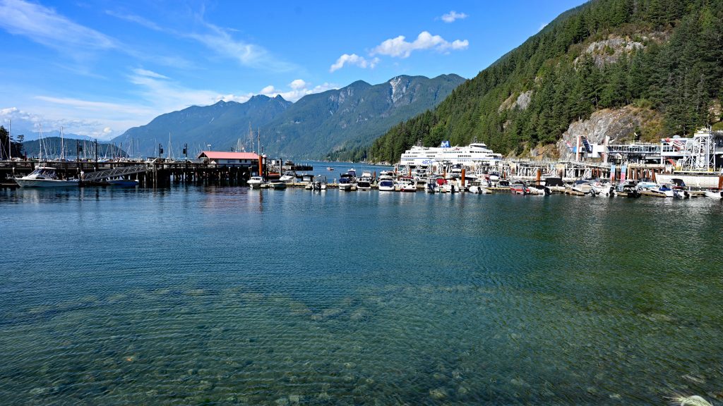
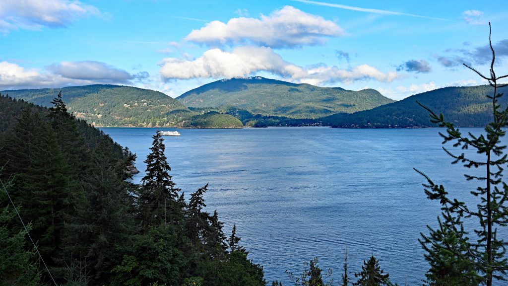
For some great pictures of the Horseshoe Bay, it is definitly worth to drive the additional 4 km on the 99 Highway direction to north.
