Adventure in the Black Canyon: Heat, Rock, and an Unplanned River Crossing
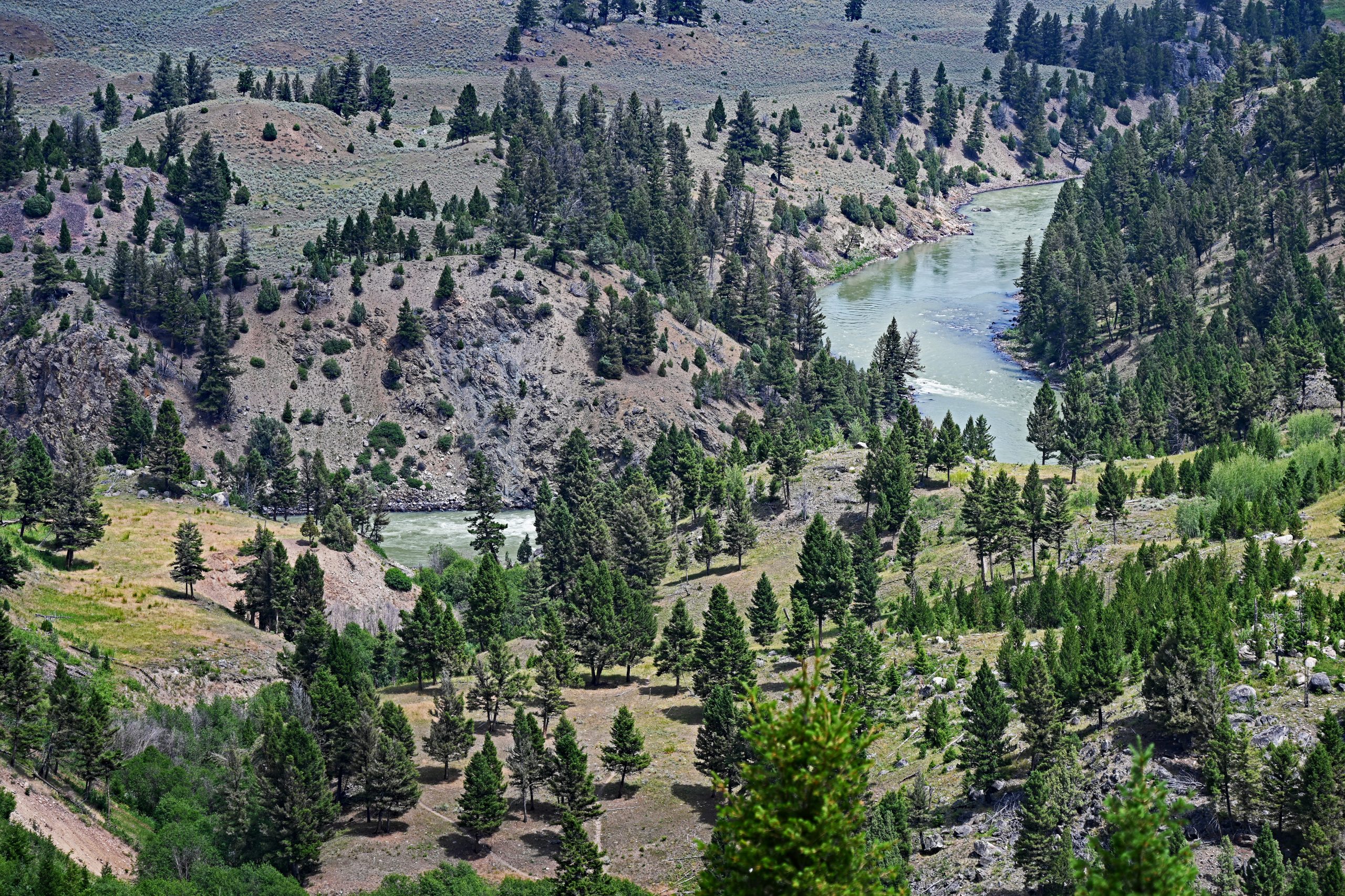
It is exactly 12:25 PM on July 20th when I reach the parking lot just before the Tower Falls Junction in Yellowstone National Park. The midday sun burns mercilessly from the sky as I shoulder my backpack and begin the descent toward the river. After just a few steps along the switchbacks of the trail, the earth opens up before me. The Black Canyon of the Yellowstone River expands in its immense dimensions. Deep below in the valley, the mighty torrent carves its path—a wide ribbon shimmering in shades of green and gray, cut deep into the rugged bedrock. The steep slopes display a stark play of colors: the deep dark green of dense pine groves alternates with the pale, sandy yellows of dry summer grasses and the bare, gray rock faces of the canyon wall. The air smells intensely of dry pine wood and heated earth, while the steady, muted roar of the water already echoes from far below.
Gallery: The Descent into the Canyon
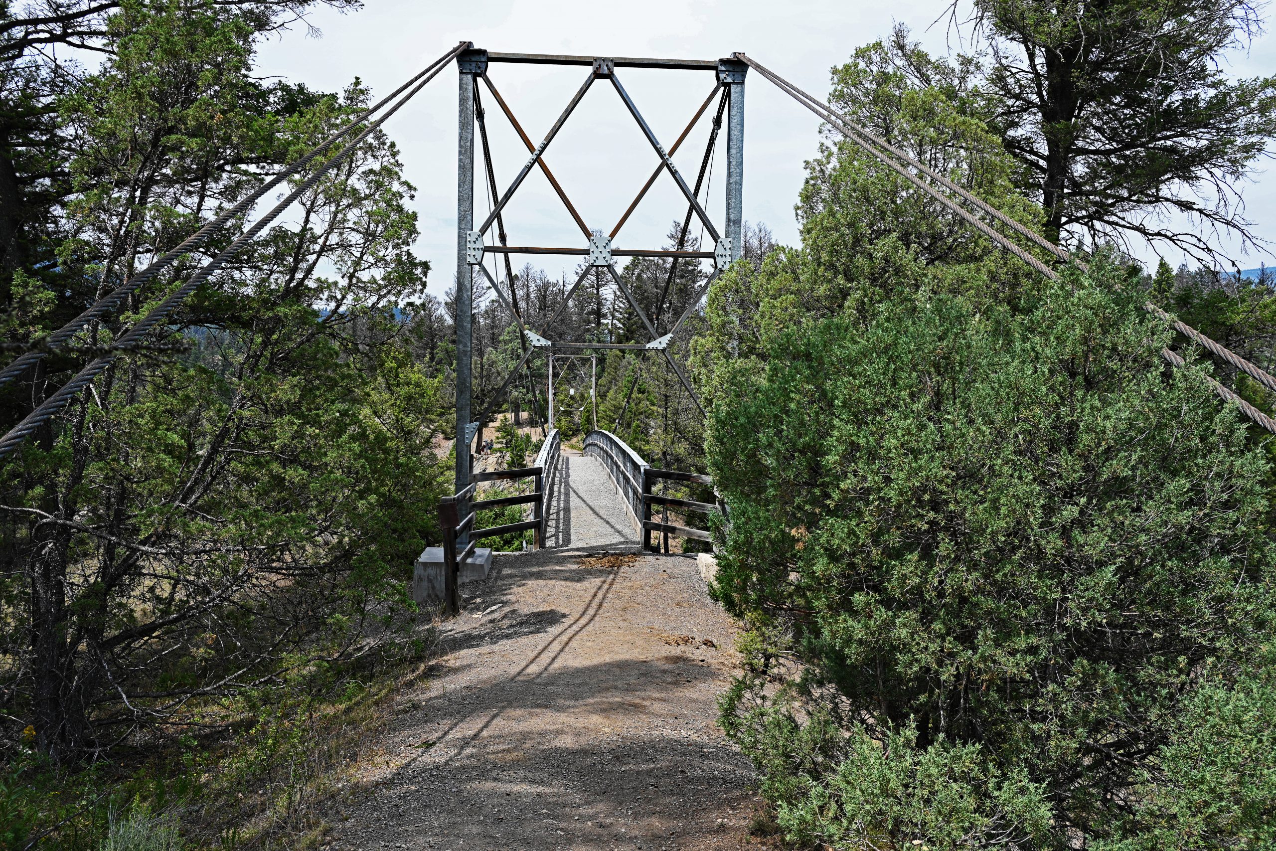
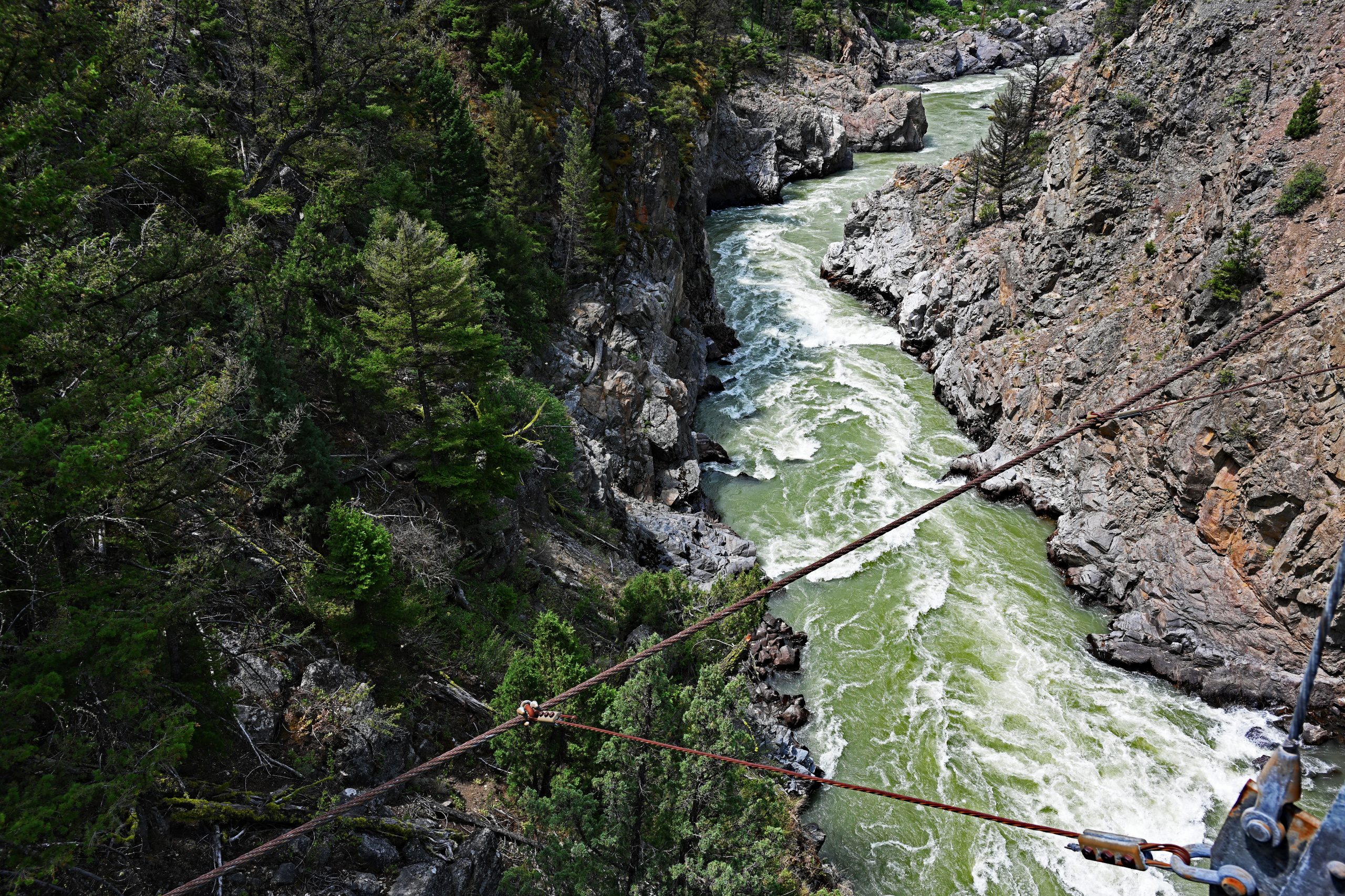
The trail leads me relentlessly deeper into the gorge until I stand before the impressive suspension bridge. Its massive, X-shaped steel towers and thick main cables look like a relic from another time, defiantly facing the wild elements. As I step onto the bridge, the structure sways gently beneath my feet. I stop right in the middle and dare to look straight down into the dizzying depth. Far below my feet, the Yellowstone River forces its way through an extremely narrow, almost vertical rock crevice as a white, foaming, roaring rapid. The thundering of the river is deafening here, and the mist seems to cool the air slightly despite the midday heat.
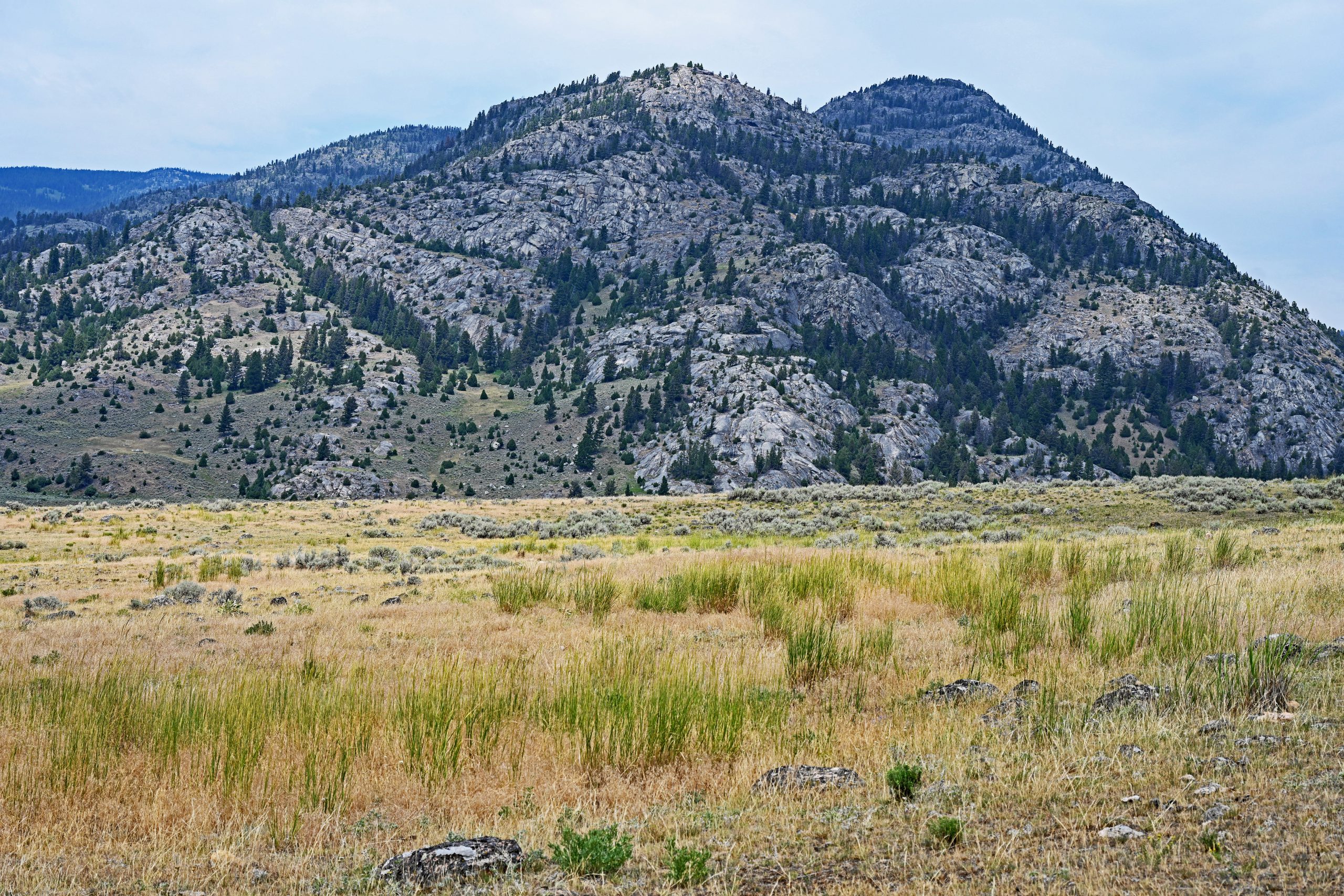
Leaving the bridge behind and hiking through a small, shaded grove of trees, the landscape changes abruptly. I step out onto the seemingly endless sagebrush plateau north of the river. A near-reverent silence reigns here, broken only by the soft rustling of the wind. The dominant color is now the matte silver-gray of the sagebrush, spreading like a soft carpet over the undulating plateau. On the far horizon, the rugged peaks of the Absaroka Mountain Range rise majestically. Hellroaring Mountain especially draws my gaze: its pale, exposed granite structures form a nearly perfect dome that stands out sharply against the light blue midday sky. It is a raw, primeval landscape where you find yourself waiting for a herd of bison to appear around the next bend.
Gallery: The Vastness of the Sagebrush Plateau
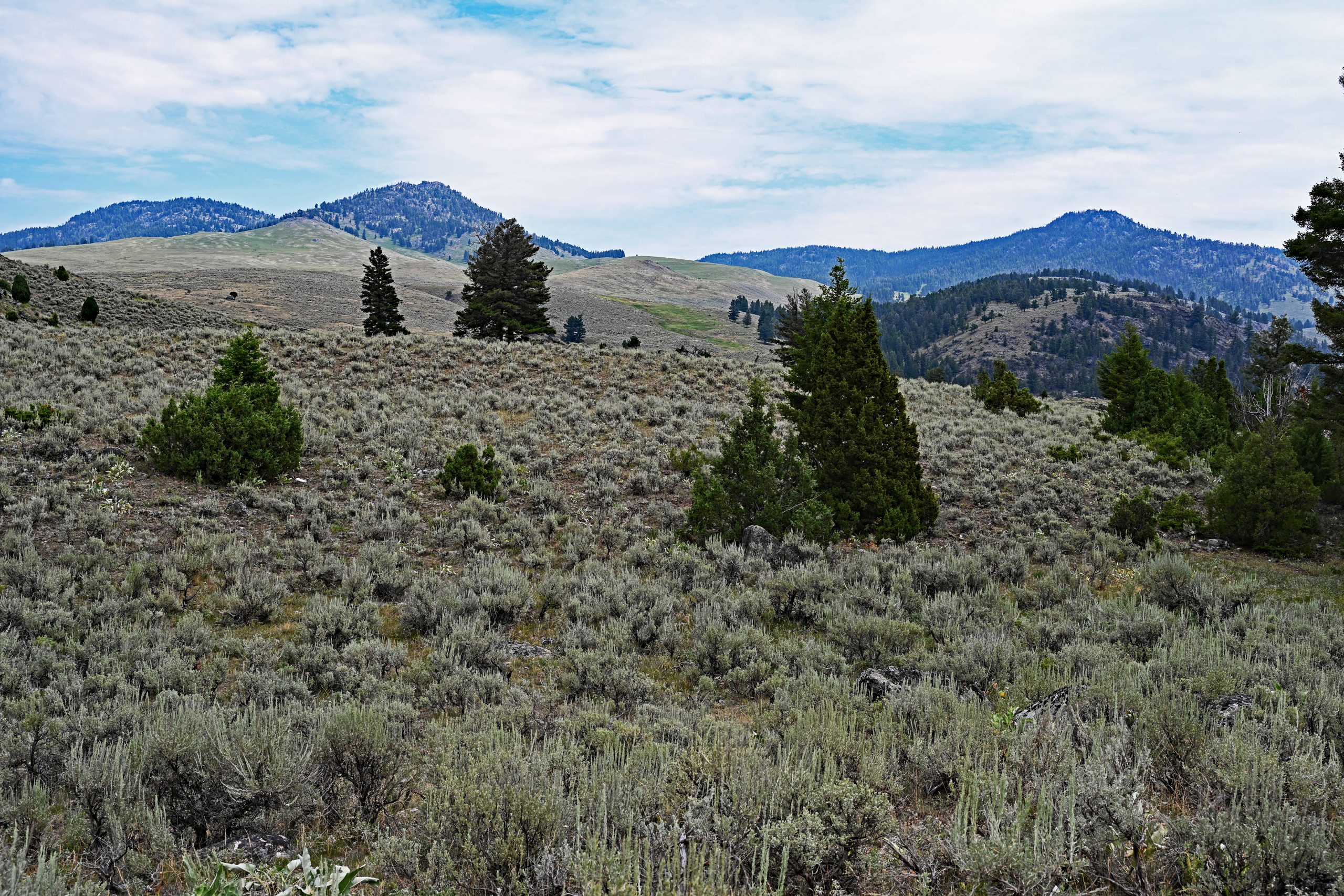
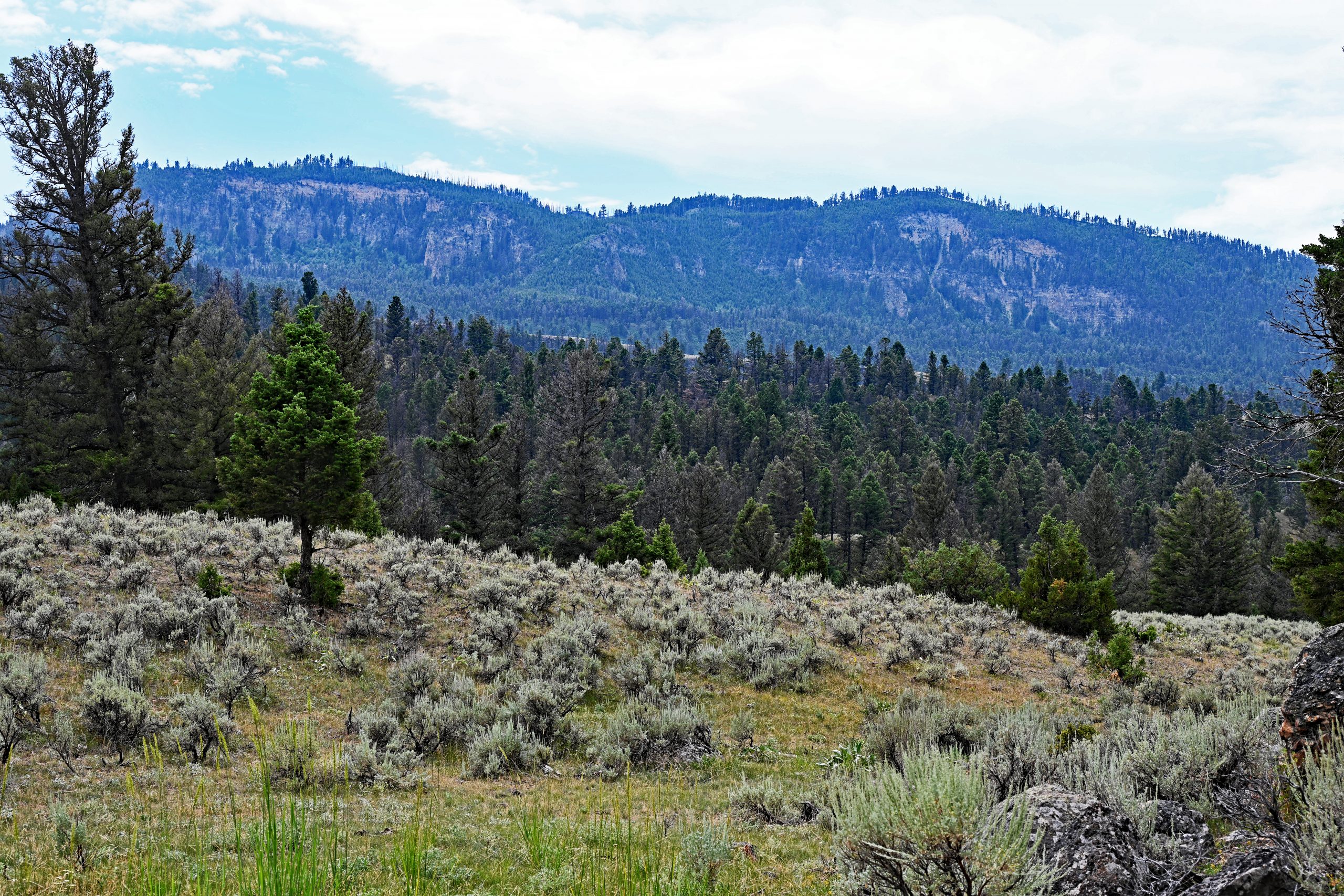
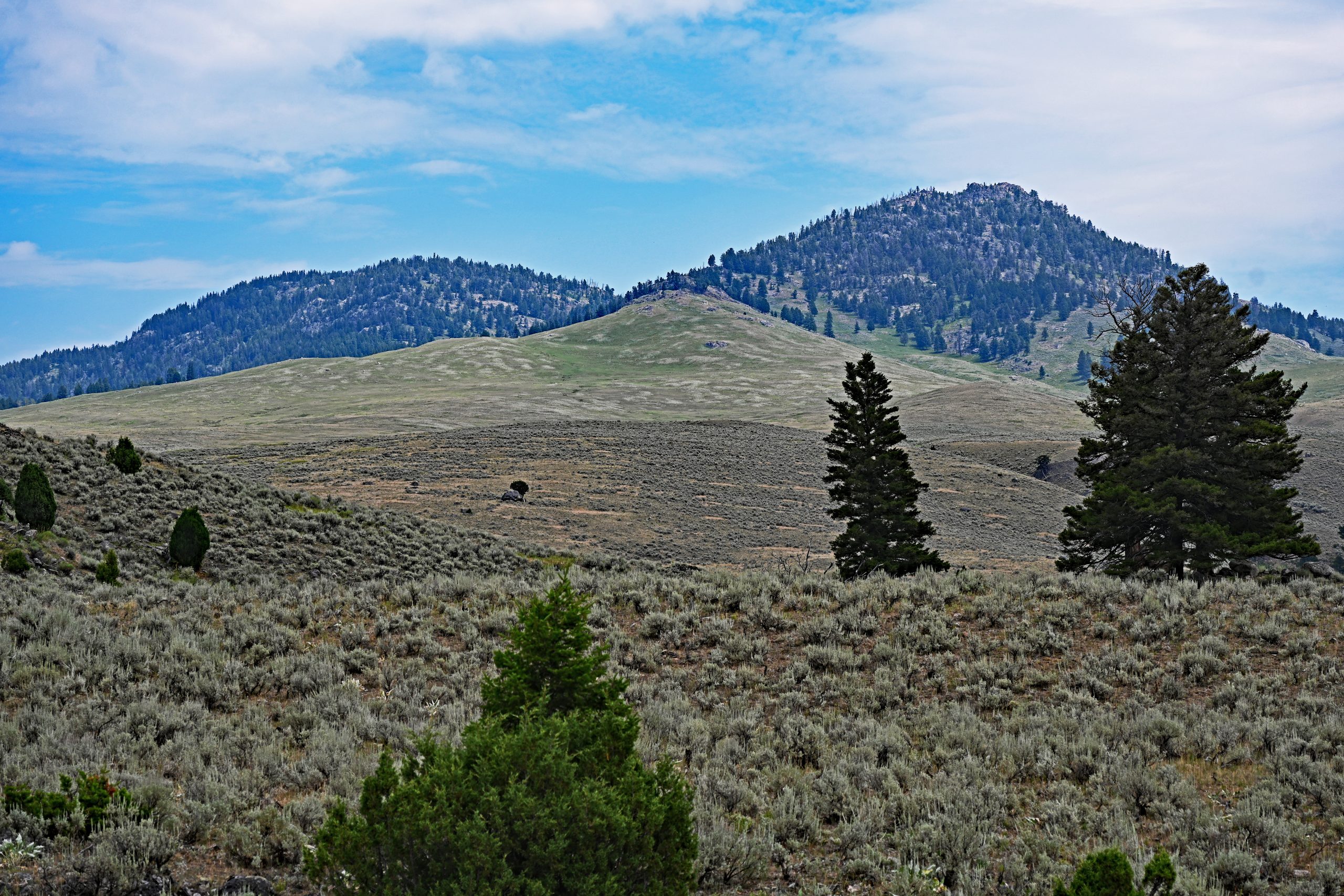
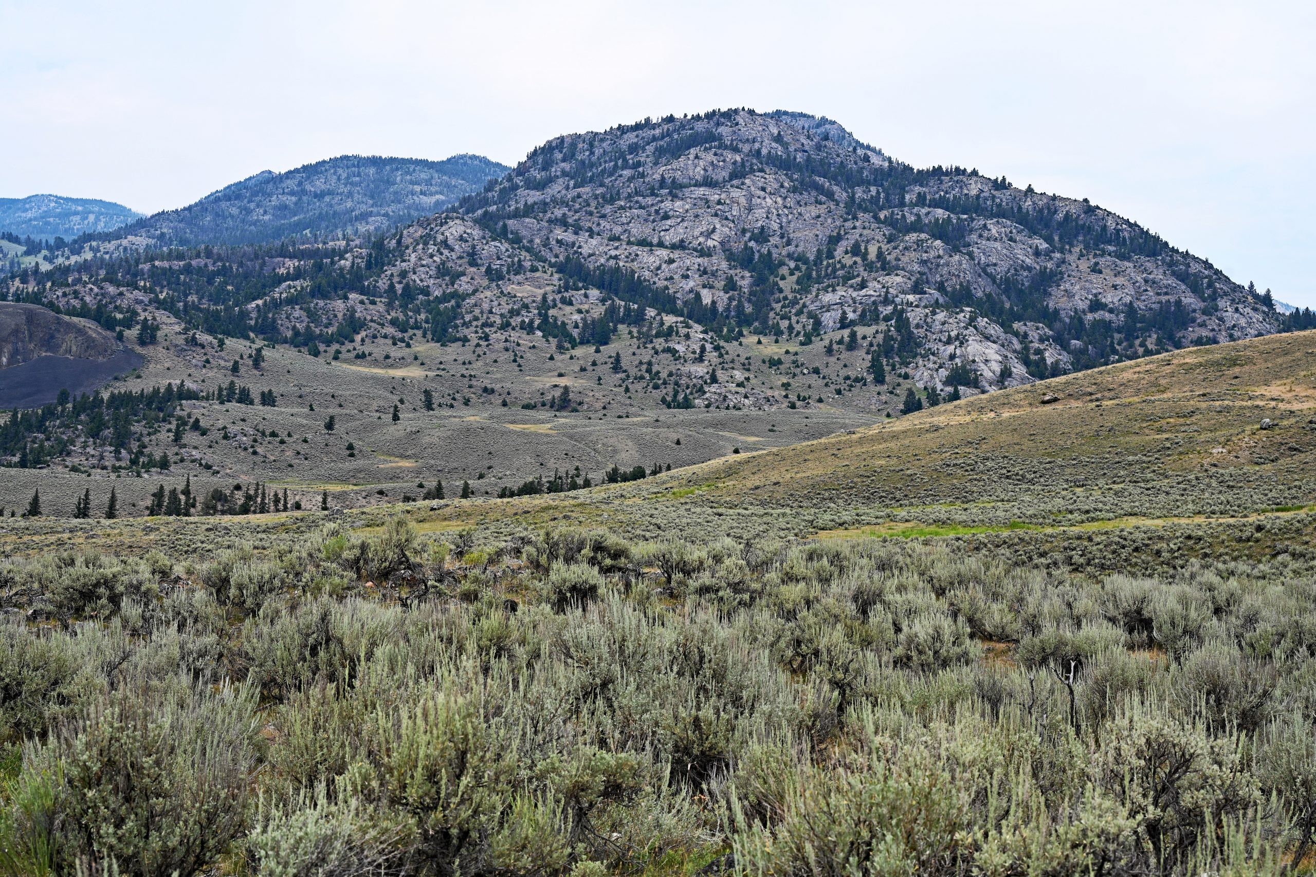
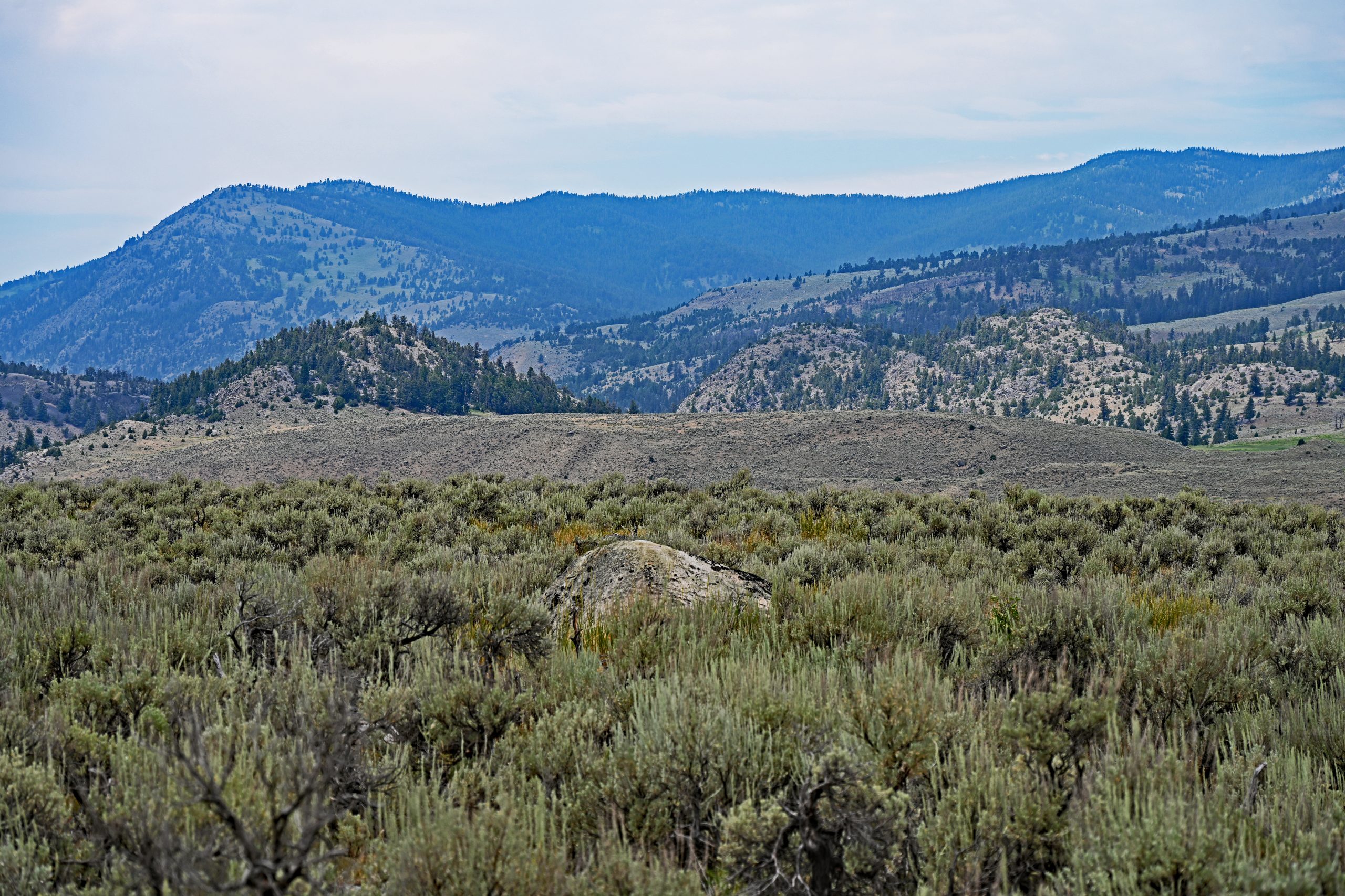
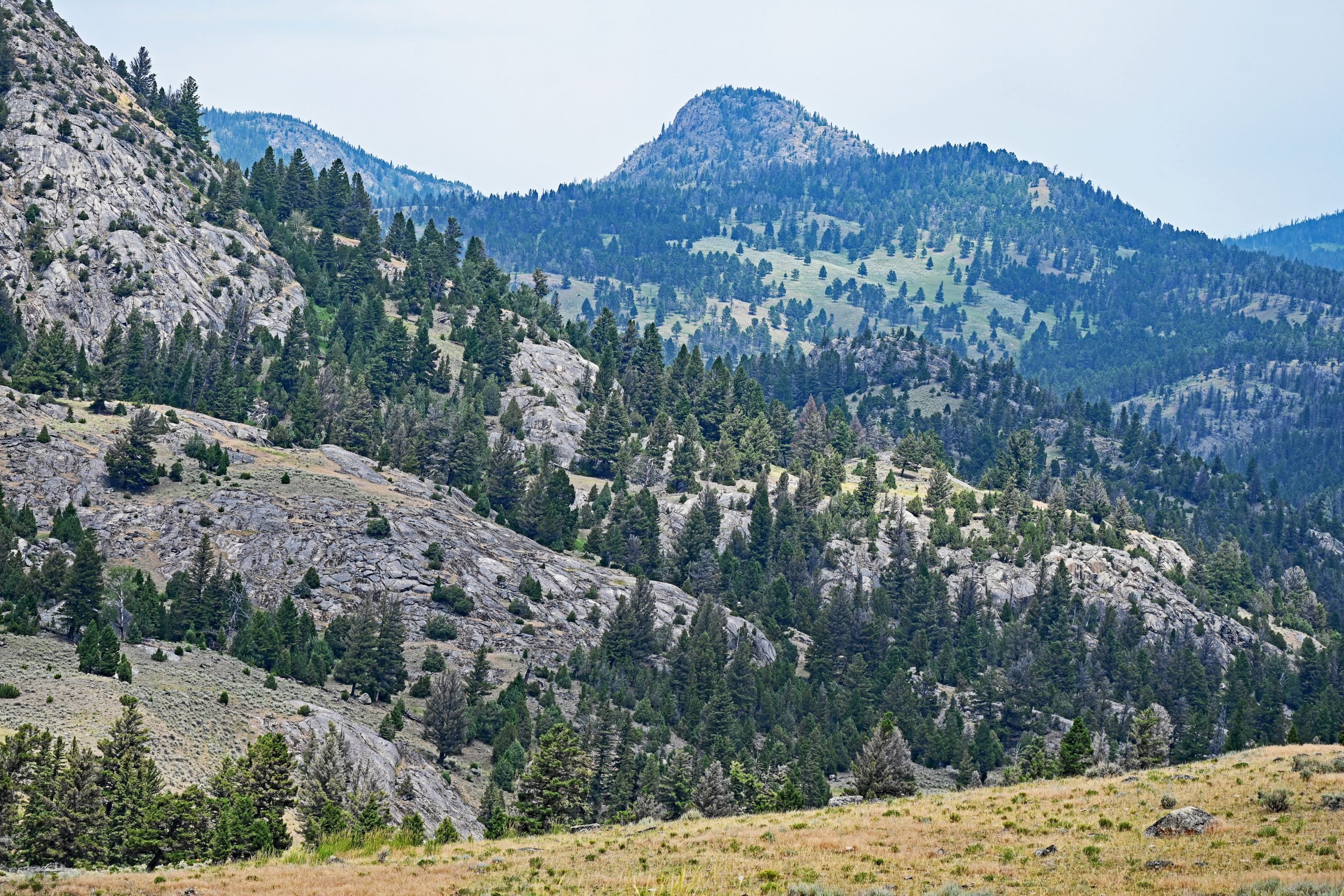
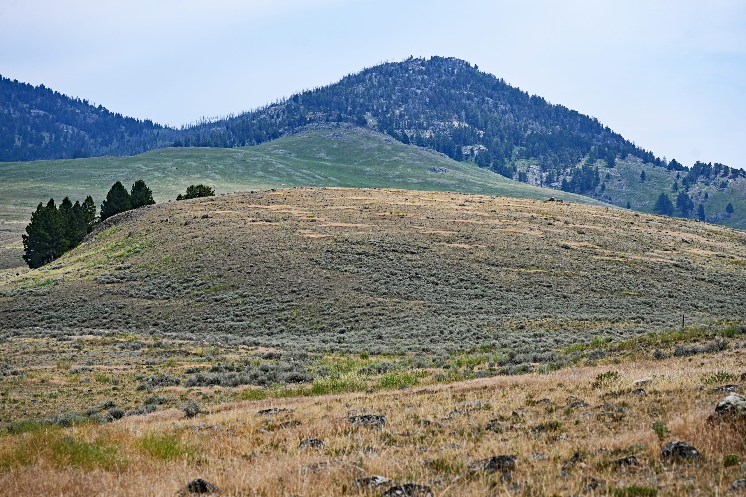
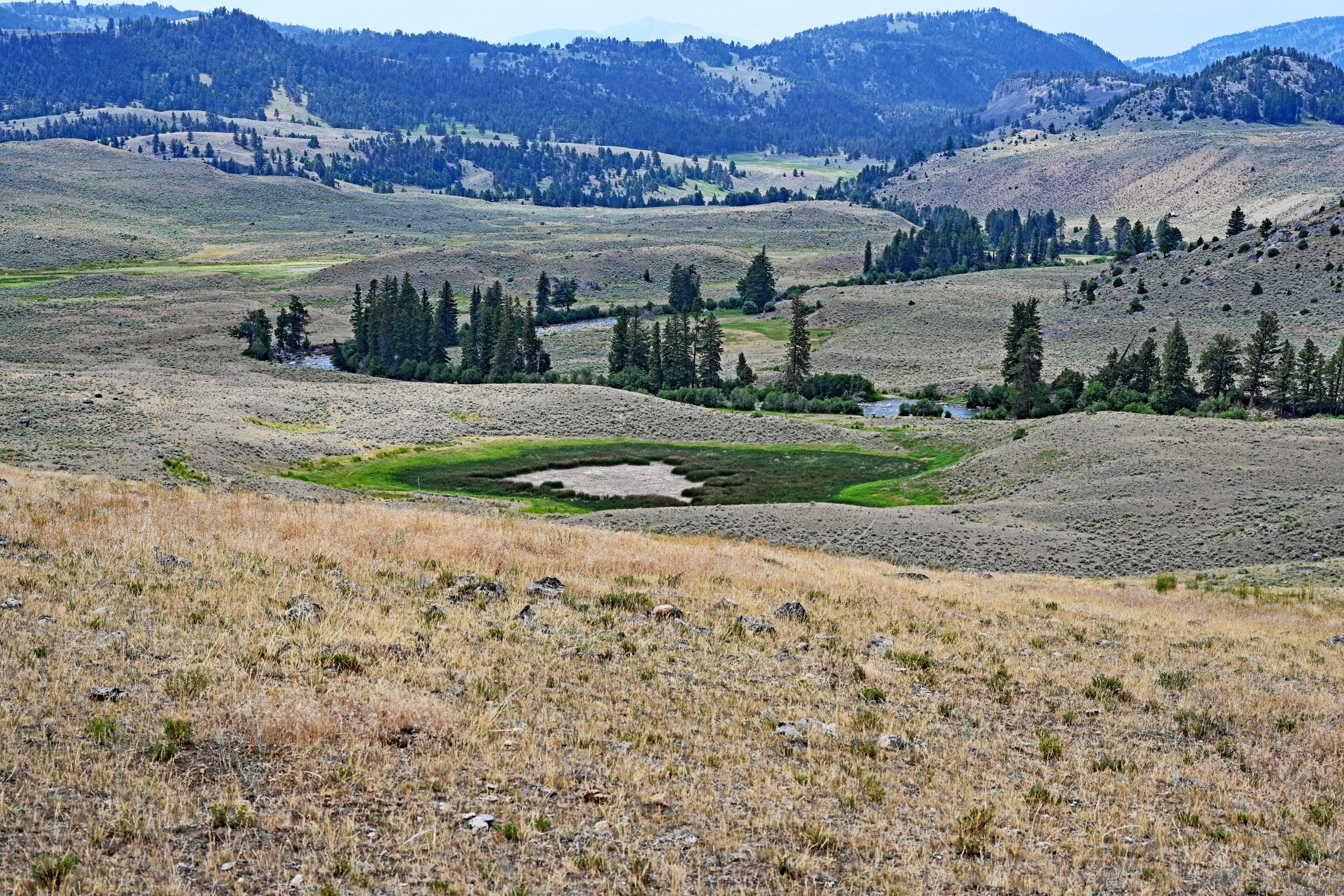
I hike further across the plateau, fascinated by the magnificent panoramic views. Wherever I turn, new geological monuments reveal themselves. To the southwest, the bulky, barren flank of Garnet Hill made of ancient gneiss dominates the panorama, while to the south, the forested mountain ridges of the Washburn Range with Prospect Peak shimmer through the distant haze. On the other side, further north, the distinct rounded dome of Overlook Mountain peeks out behind the ridges of the Buffalo Plateau. From this elevated vantage point, I also spot a small, vibrant green oasis in a depression with a dried-up center—a small, vanishing pond that acts as a splash of color amidst the arid surroundings. Behind it, the deeper valley of Hellroaring Creek begins to reveal itself.
Gallery: Panoramas and Vistas on the Plateau
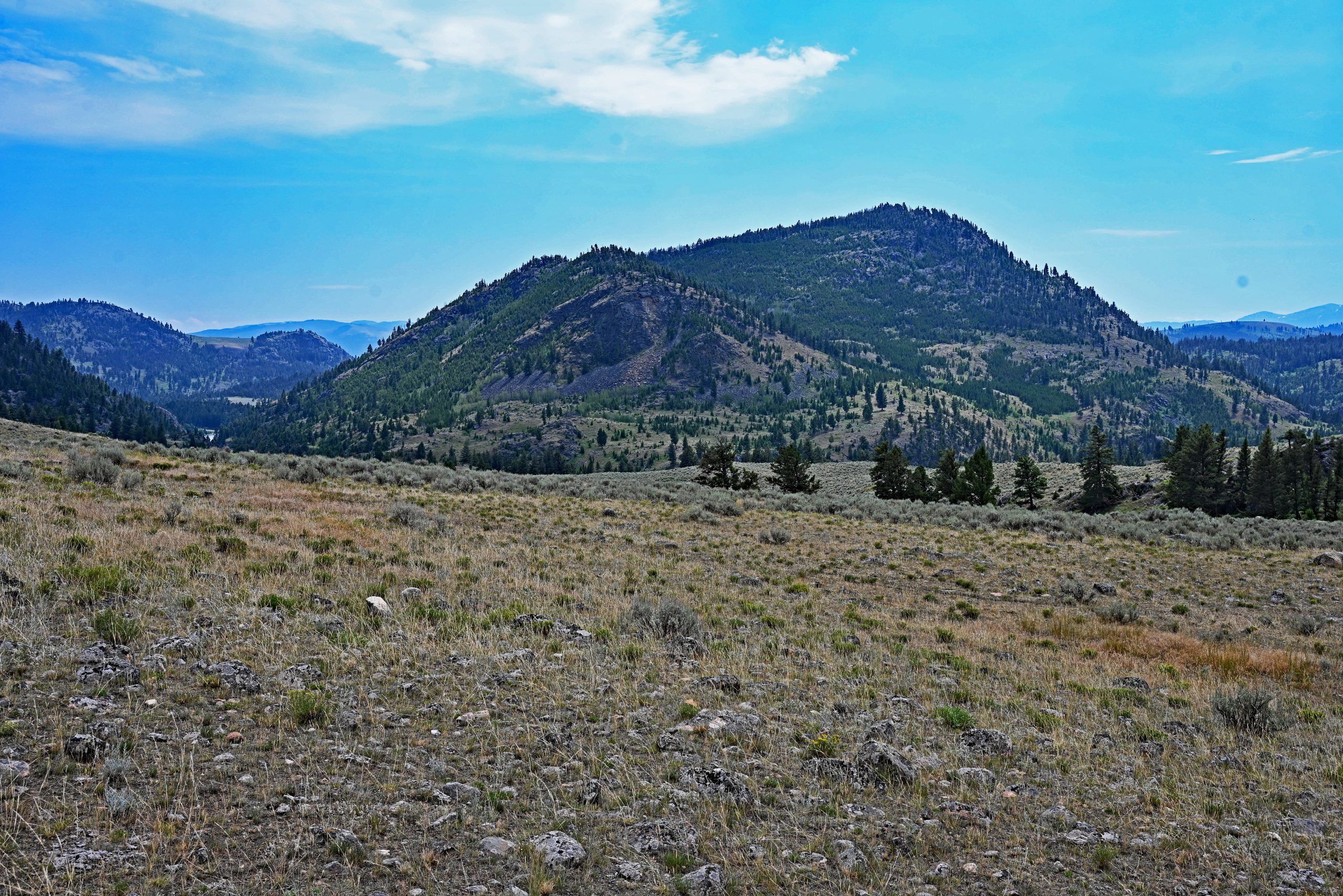
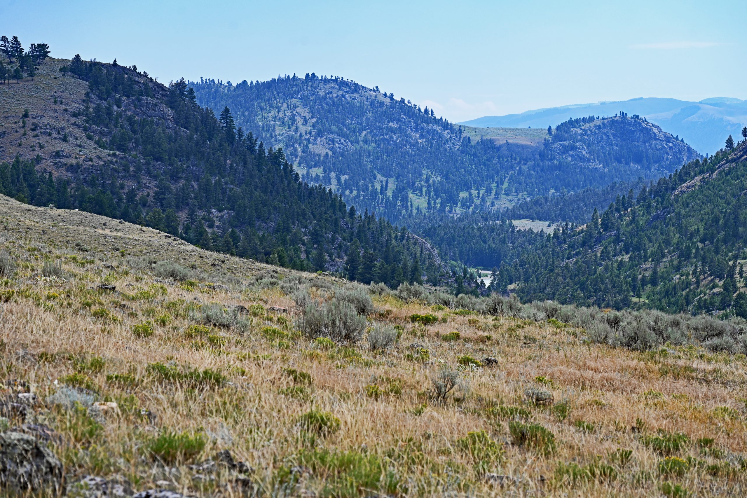
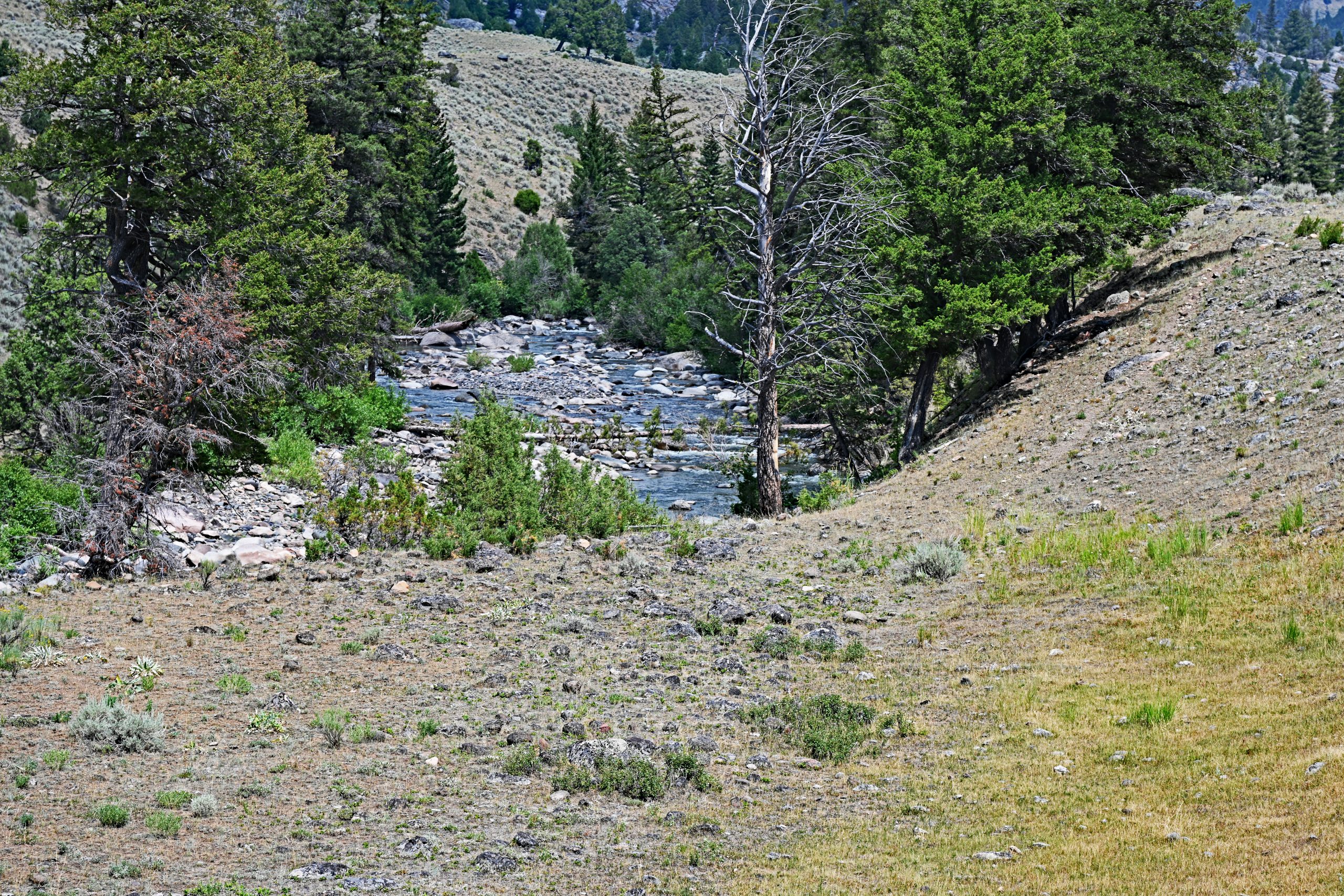
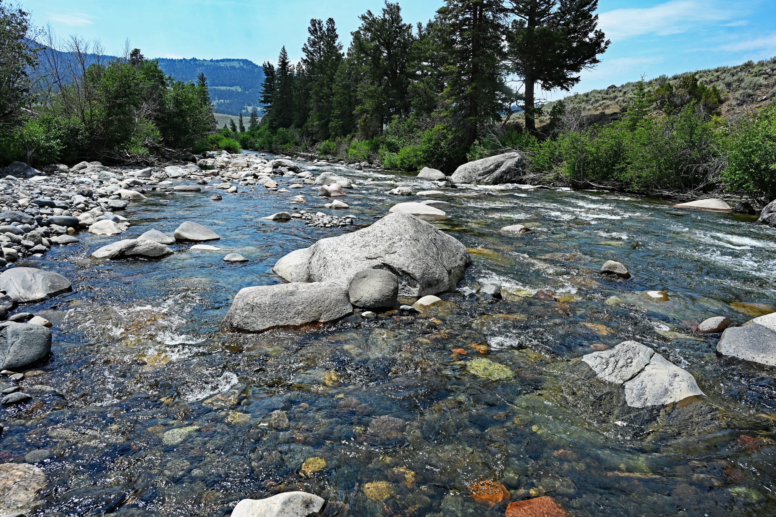
Since I am determined to get directly to the waters of Hellroaring Creek, I decide to head cross-country, having previously misinterpreted a trail sign. I make my way through the thick sagebrush and down rocky slopes until I finally stand at the river’s edge. Hellroaring Creek proves to be a beautiful, wild mountain stream. Its crystal-clear, cold water flows swiftly over a wide bed of countless colorful pebbles, divided by massive, light gray granite boulders. After the strenuous march under the blazing sun, I continue another 2.5 miles upstream, enjoying the rugged beauty of this hidden valley.
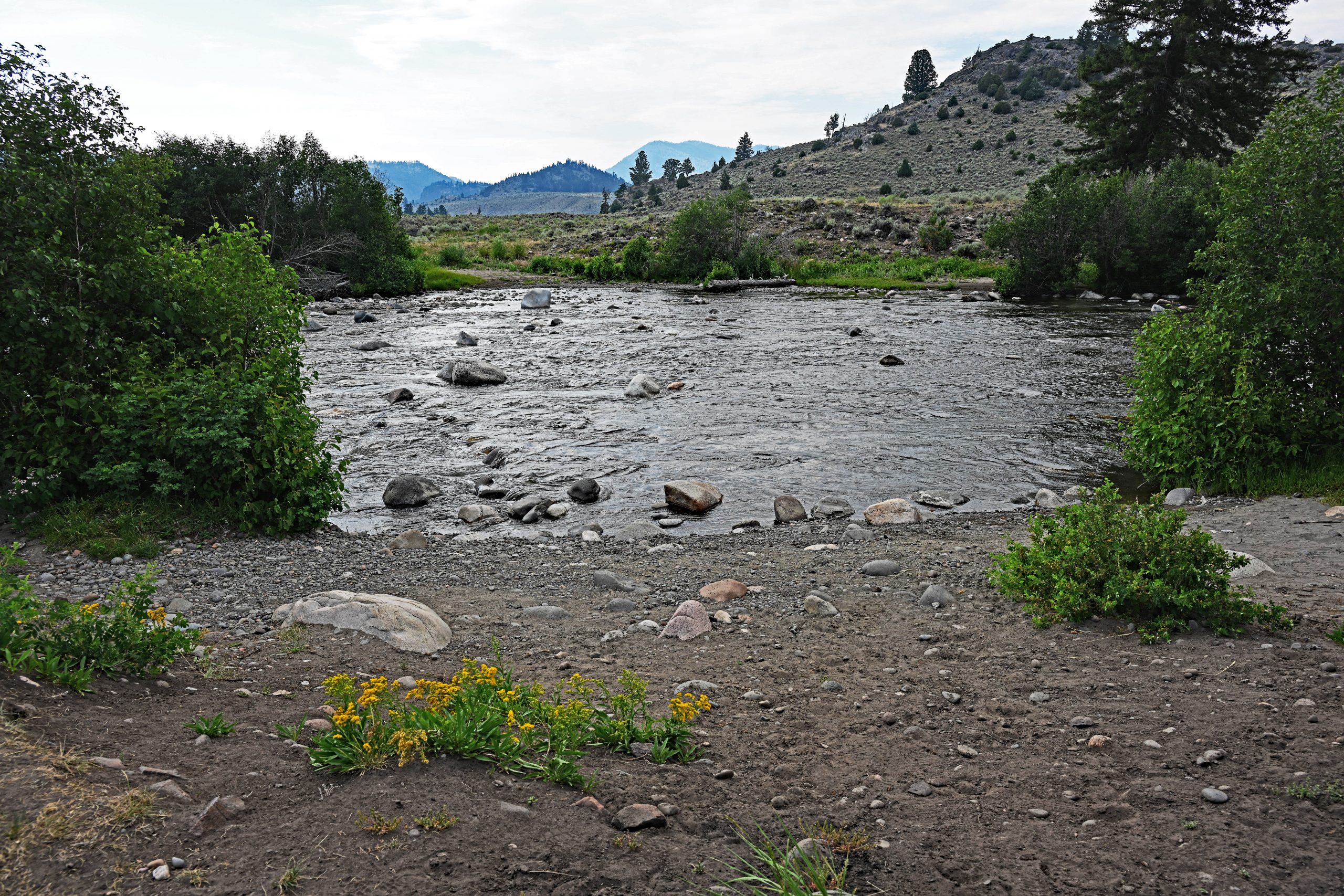
However, on the way back, which I begin on the opposite side of the creek, the tide turns. Fate is not kind to my gear: half an hour ago, my camera unnoticedly crushed my second water bottle—my entire supply has leaked out. In the oppressive July heat, I suddenly find myself without a single drop of water. According to the map, a 1.8-mile detour back to the official Hellroaring Creek Bridge lies ahead, only to end up right back where I am now. A look at the wide, shallow ford of the river makes me make a momentous decision. I will not turn back. I keep my hiking boots laced tight to avoid losing my footing on the slippery, rounded stones in the riverbed, and resolutely wade straight through the rushing, icy water to the other bank. After about 20 minutes of walking, the pressure of my steps has completely pressed the water back out of my boots. Ahead of me now lies a hard, sweat-inducing 55-minute climb back up to the safety of the parking lot—an unforgettable, dusty survival adventure in the heart of Yellowstone.
Gallery: By the Wild Hellroaring Creek