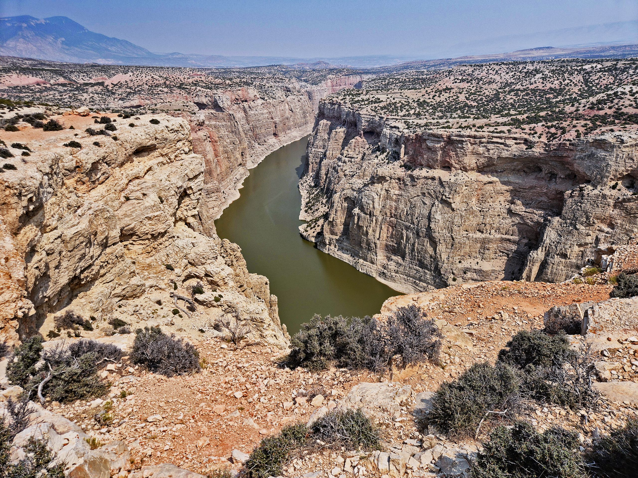
The morning of August 7, 2026, breaks with a dry, shimmering heat as I drive deeper into the solitude of the Bighorn Canyon National Recreation Area [I0]. Here, in the borderlands between Wyoming and Montana, time seems frozen within the earth’s massive sedimentary layers. My first destination is the State Line Trail, which I reach in the late morning. The path leads through a barren, unforgiving high plateau. Every step kicks up fine dust, and the scent of sun-baked sagebrush hangs heavy in the air. Yet, even before reaching the actual edge of the canyon, the rugged rim, the scenery forces me to a halt. The sheer vastness of it all leaves you almost in awe. The ground beneath my feet is strewn with pale limestone rocks patterned by lichens. Beyond, the raw high desert stretches out, sparsely dotted with juniper bushes, until the first mighty walls of the distant gorge appear on the horizon.
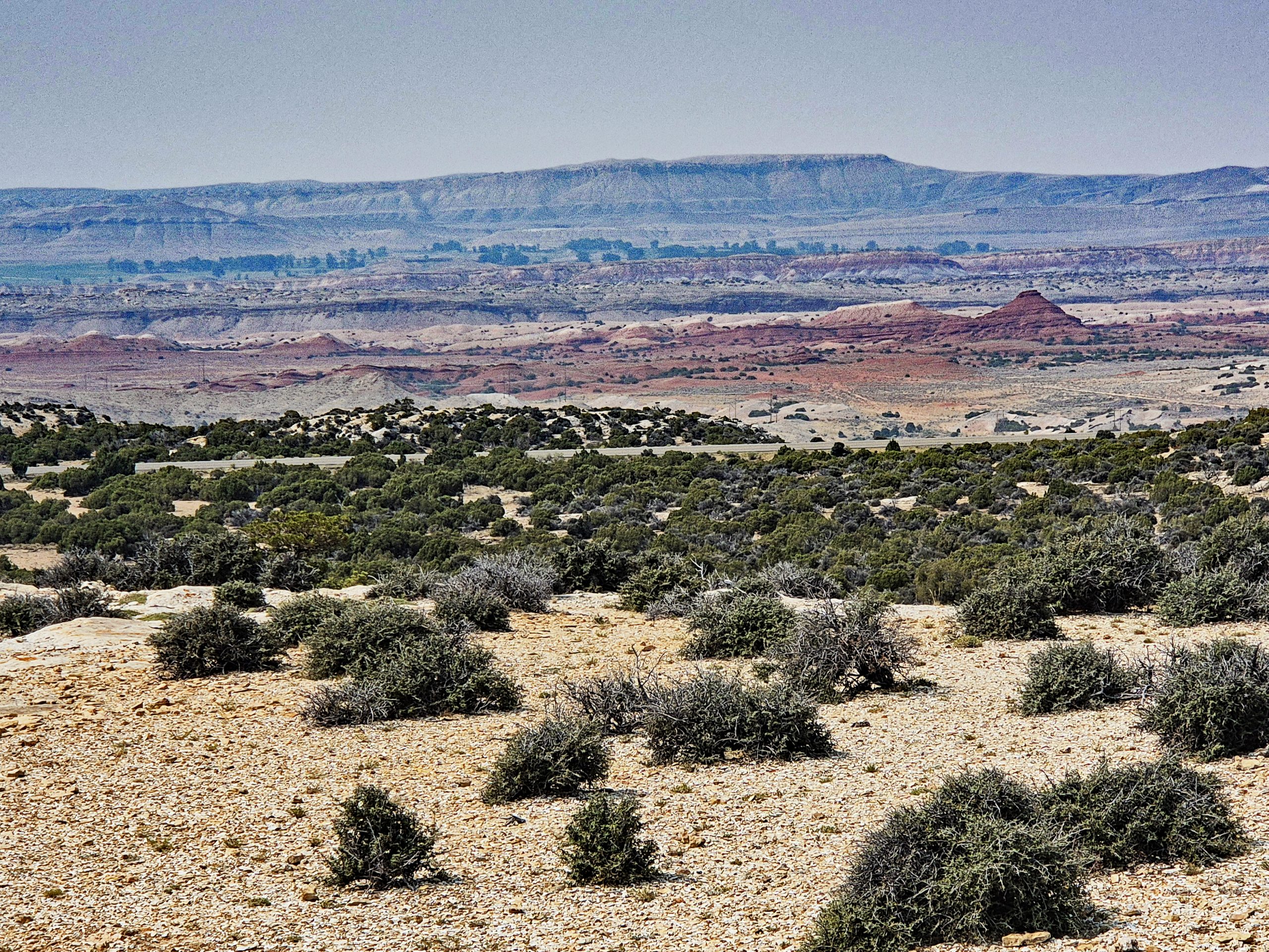
Turning your gaze northward during this hike, the desert reveals itself in all its geological facets. The landscape looks like a giant painting by nature, arranged in distinct horizontal layers of color. The pale beige of the rocky foreground is followed by the matte green of the hardy vegetation, then brilliant red earthen hills and prominent mesas. Far in the background, the bluish-gray silhouette of the Pryor Mountains towers majestically beneath the wide summer sky.
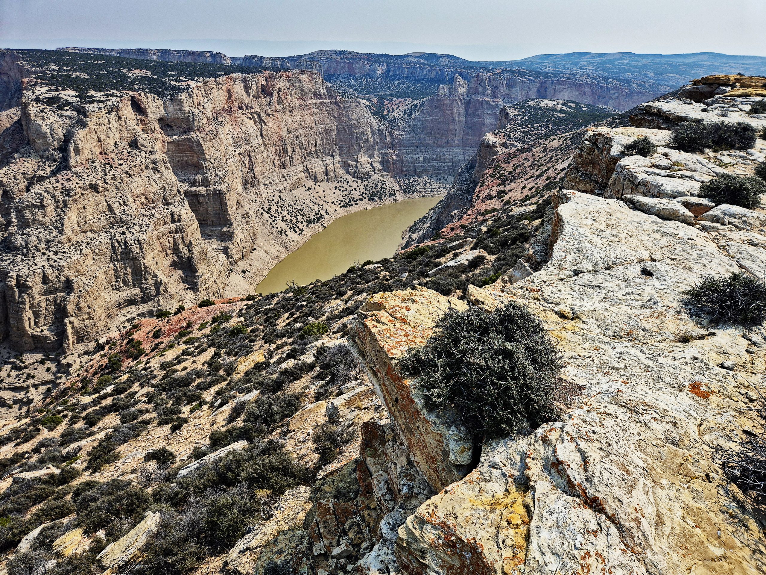
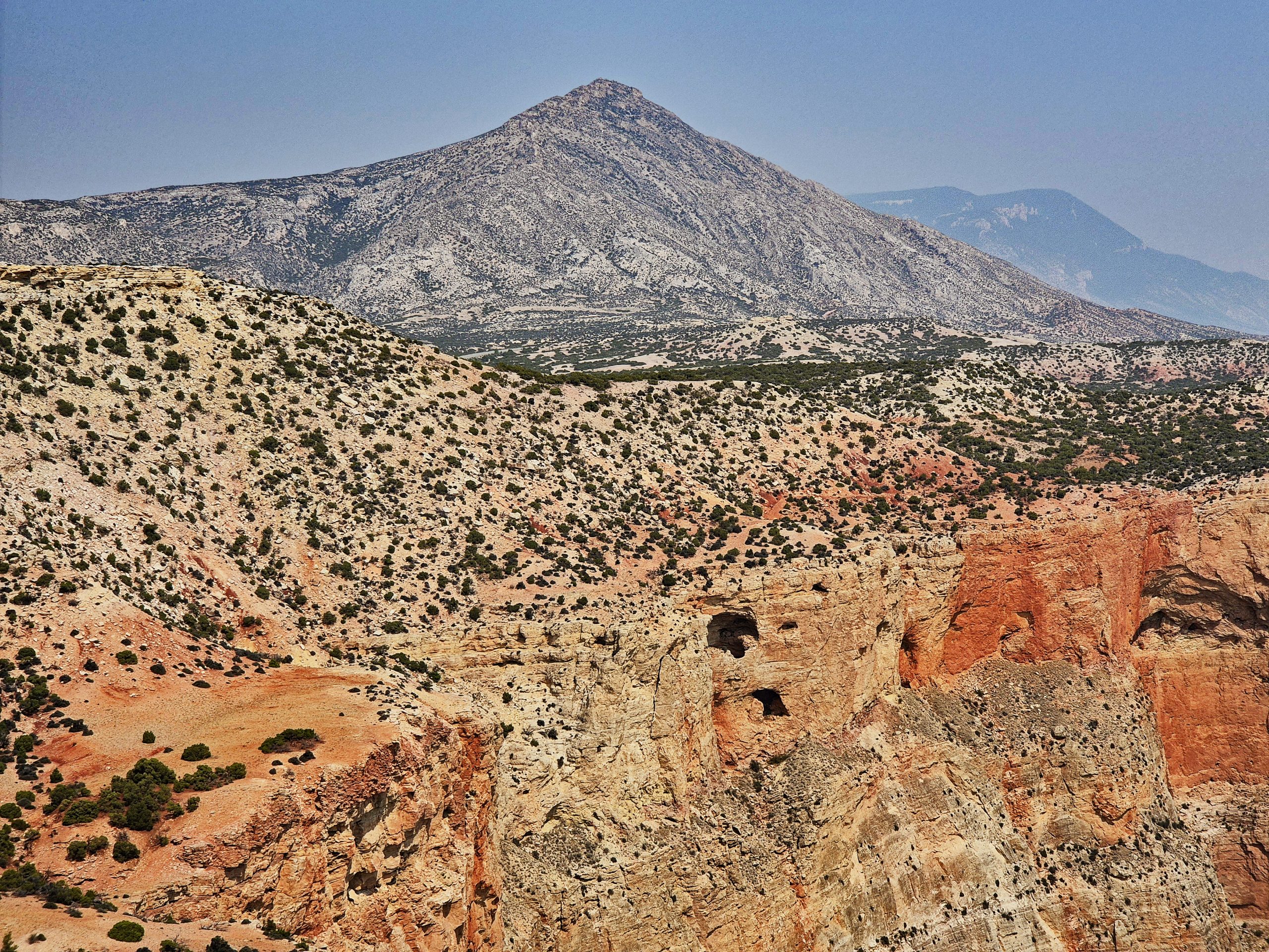
As the trail finally reaches the edge of the main gorge, a spectacular view opens up to the heart of this landscape – the Bighorn River. In the pale morning light, the water does not gleam blue, but rather in a heavy, dense golden-brown and emerald green, like a fluid ribbon of jade and silt. The river moves sluggishly but with unstoppable force through the stone labyrinth. Particularly fascinating is the point where the narrower Devil’s Canyon opens into the main gorge. The reddish hills along the bank form a dramatic contrast to the vertically rising, pale cliffs that frame the river like a golden gateway. I hike close to the rugged edge, where fractured limestone rocks, weathered by the elements, frame the view into the abyss. From up here, the vertical layering of the landscape is also exceptionally impressive: above the steep rock walls, where dark cave openings yawn, the massive, pyramidal backdrop of Pryor Mountain Peak rises in the distance.
Gallery: Hiking the State Line Trail
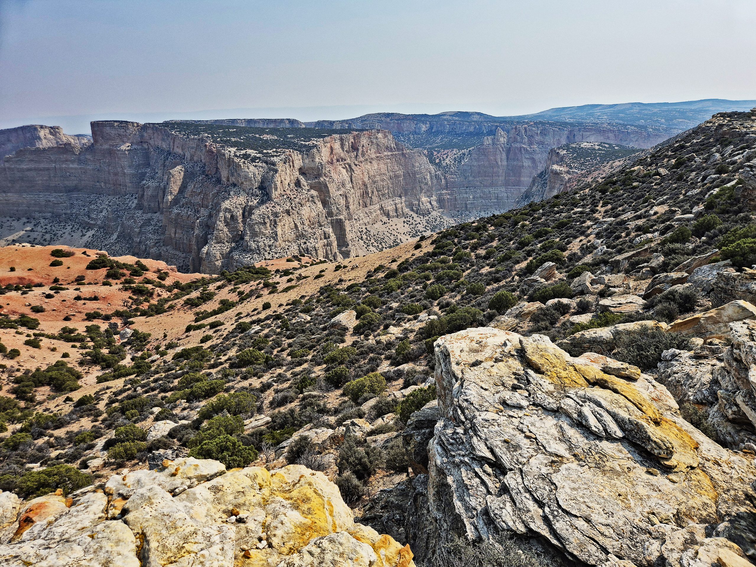
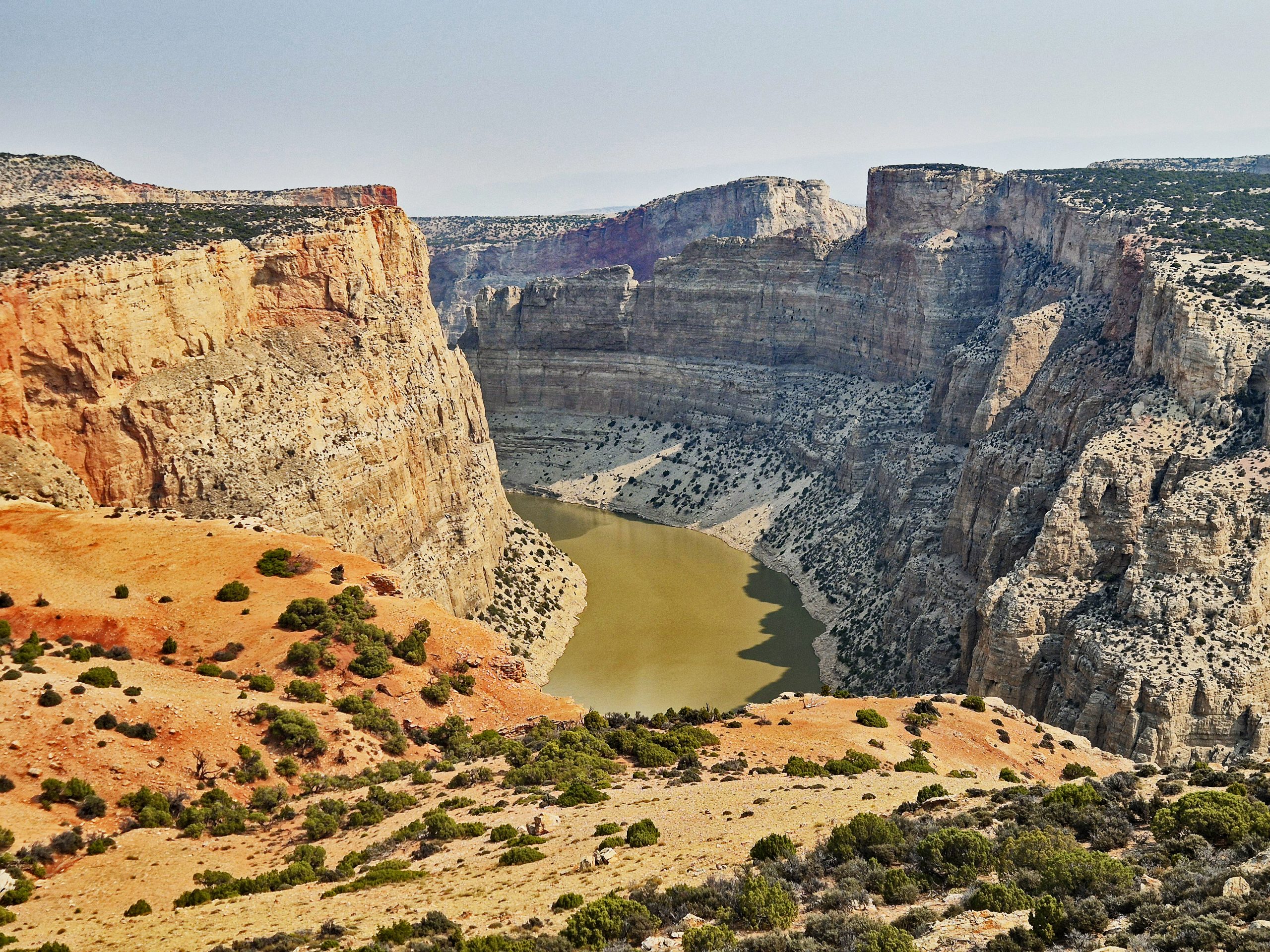
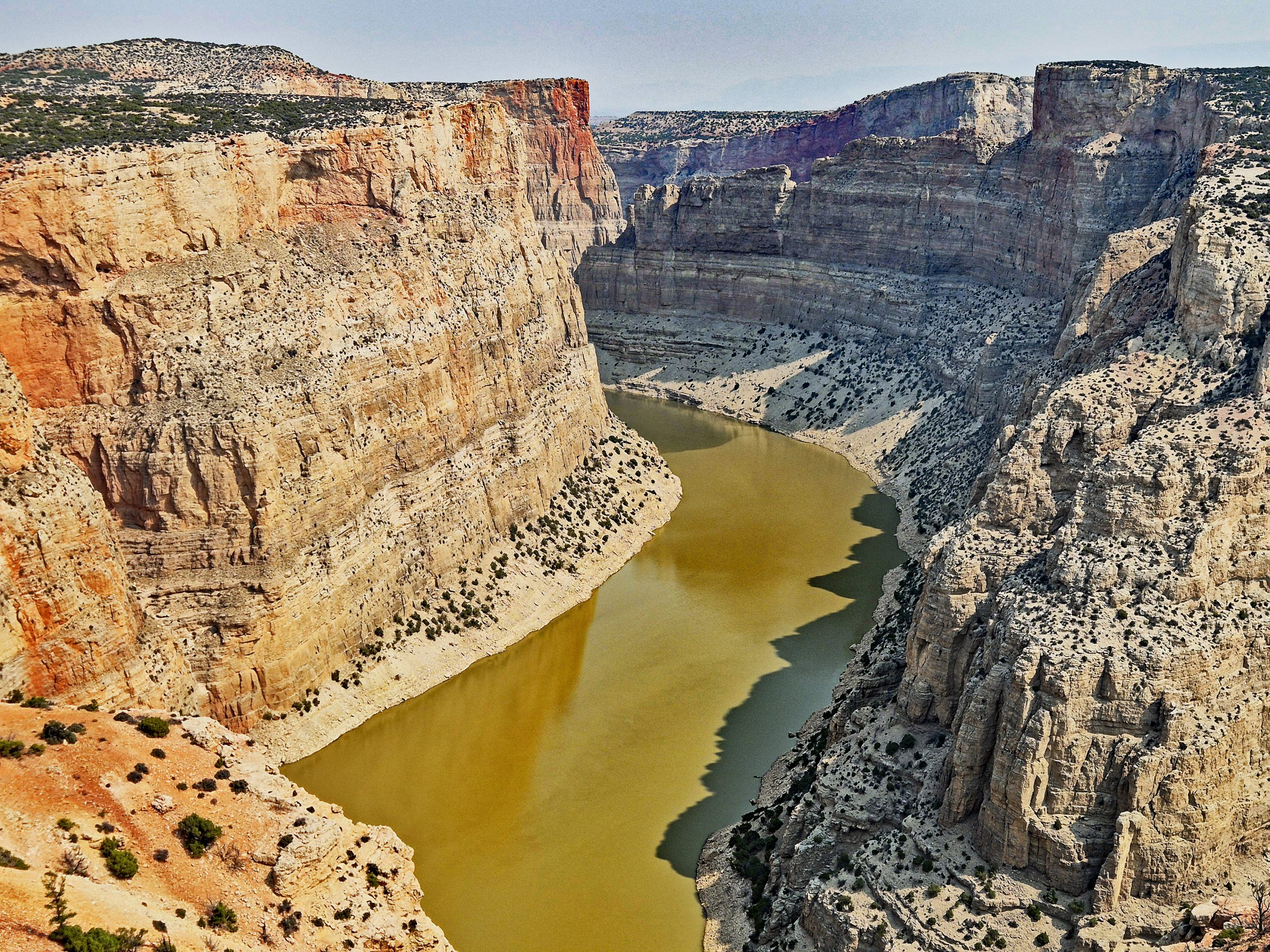
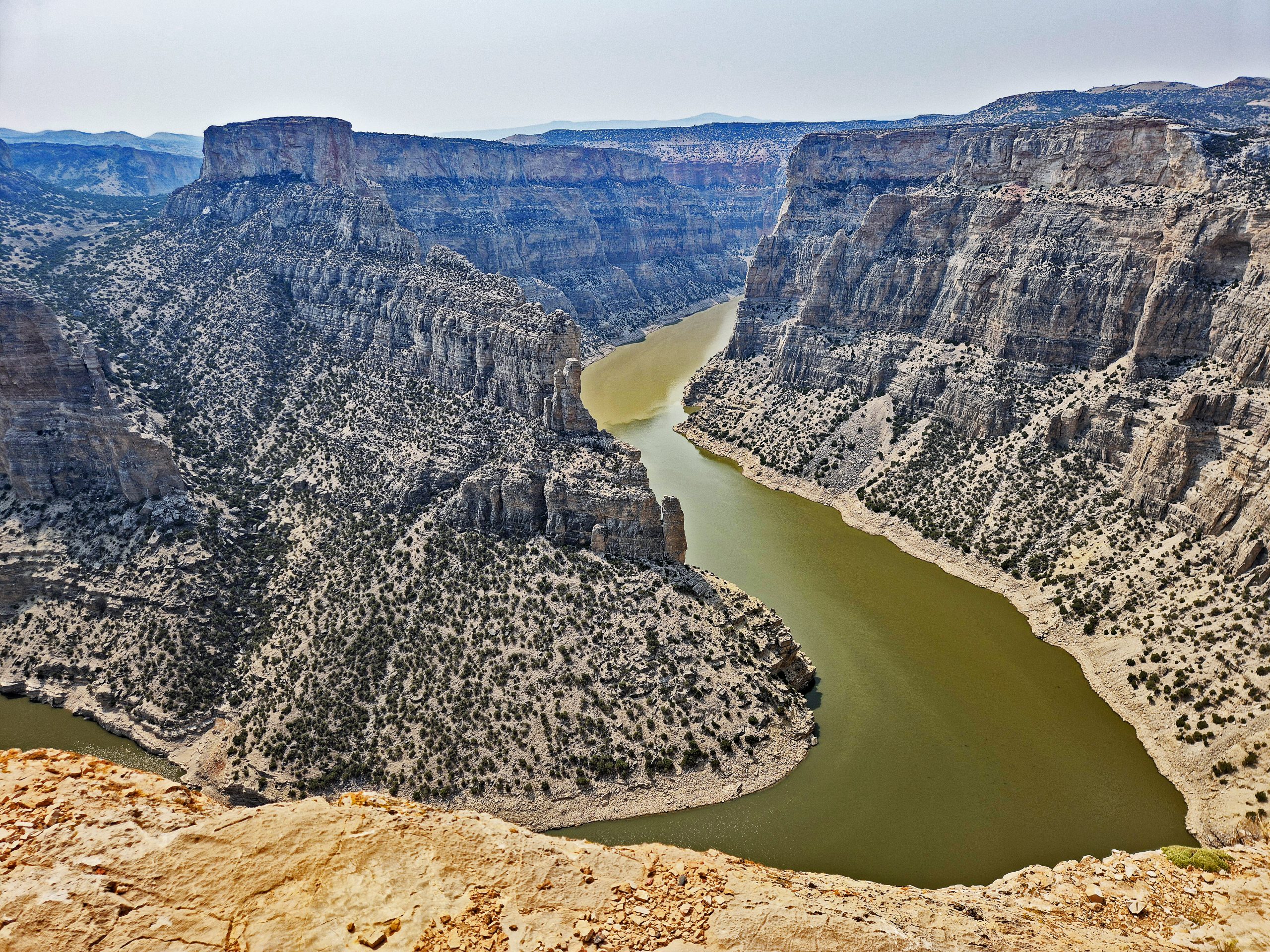
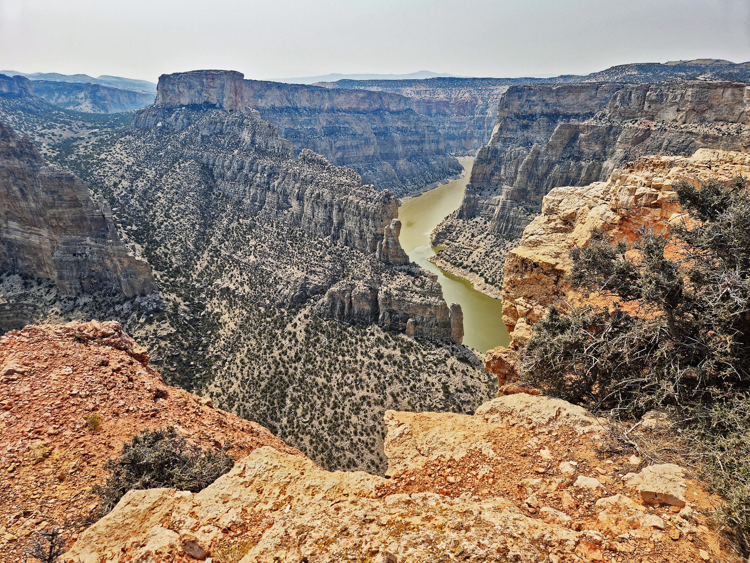
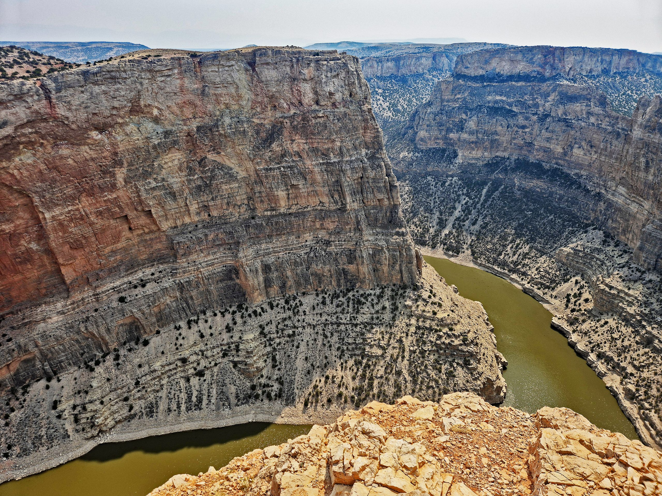
Around noon, I resume my journey and drive the short distance further to the actual Devil’s Canyon Overlook [I0]. As I step up to the edge there just after 12 o’clock, it takes my breath away once more. The dimensions from this main viewpoint are dizzying [I0]. Dropping almost vertically for over 300 meters, the rough, pale limestone walls of the cliff plunge into the depths [I0]. They bear the colors of millions of years: an interplay of glowing orange, deep rust red, and pale, sun-bleached beige, accentuated by the harsh contrasts of light and shadow in the midday sun.
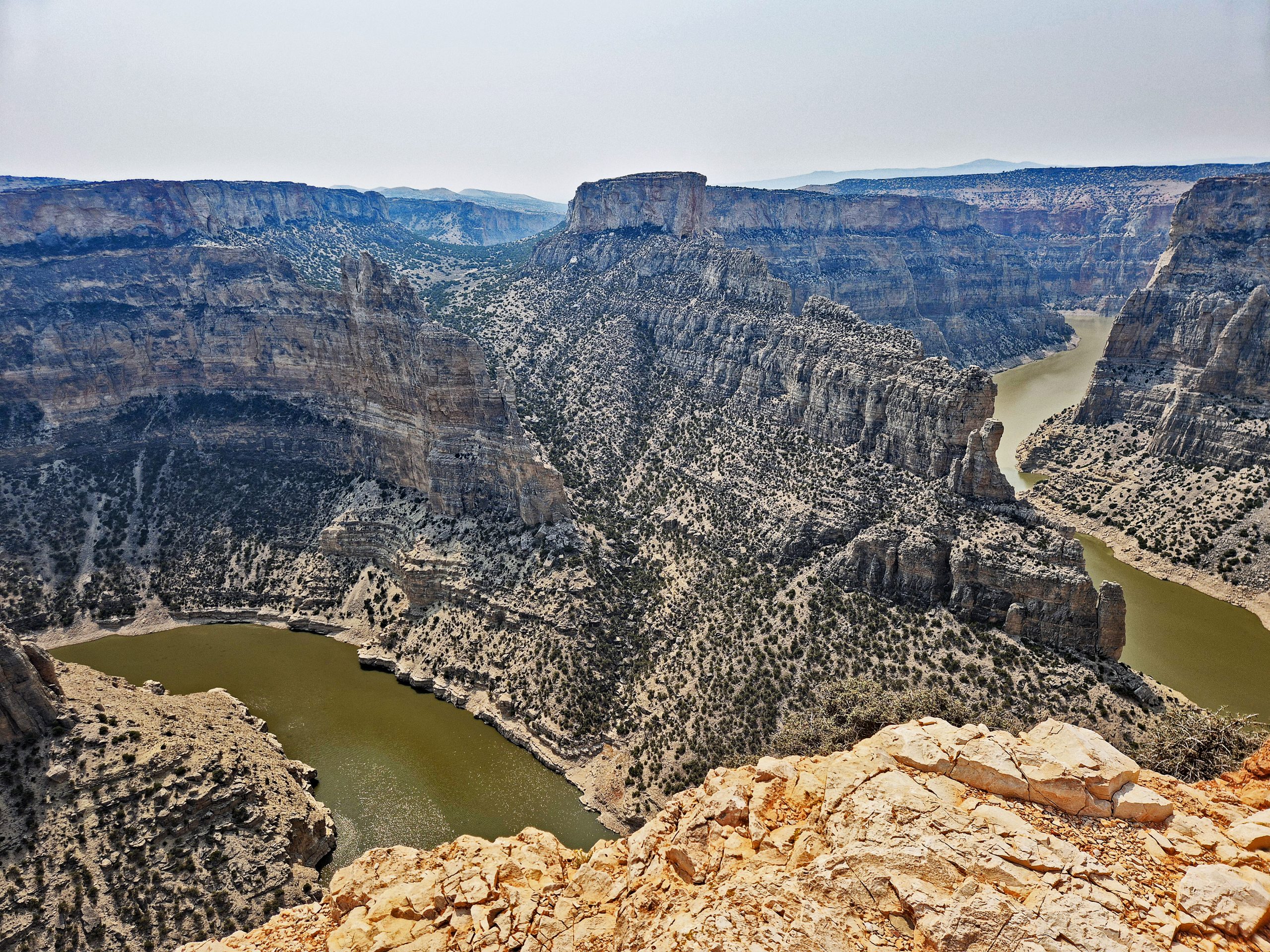
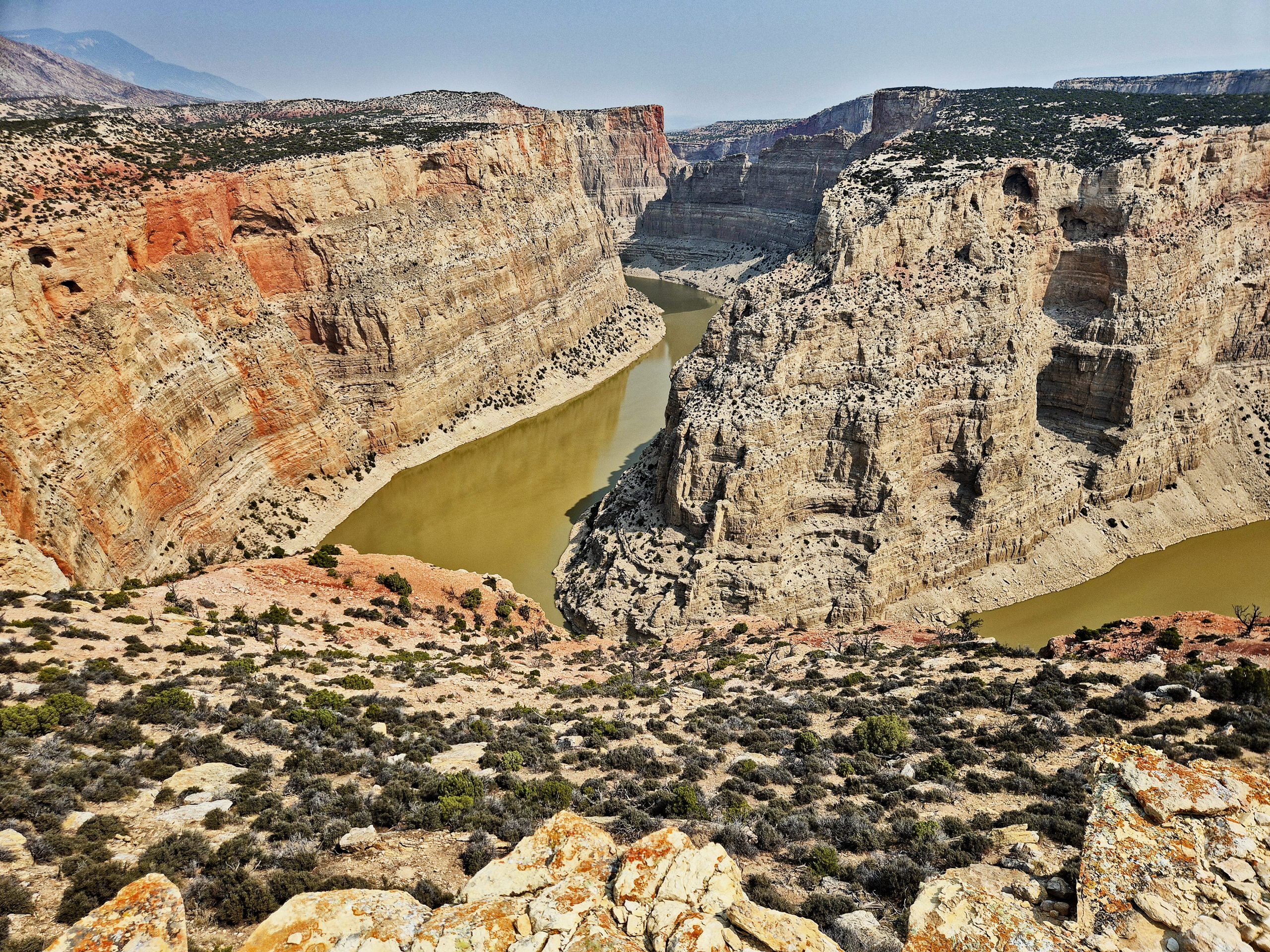
From the various platforms at the overlook, the striking S-curve of the Bighorn River becomes visible in all its world-famous glory [I0]. The murky, greenish-brown water draws a perfect, elegant loop around a massive, central rock promontory [I0]. This giant pyramid of stone is covered over and over with tiny green dots – hardy desert bushes clinging to the bare rock. The fierce midday sun creates a bright glare in the haze above the immense backdrop, while the river pushes past the solid walls dotted with sparse conifers. Every step along the secured rim reveals a new, breathtaking perspective of this jagged heart of the canyon, until I finally capture the perfect wide shot, the last photo of this unforgettable series.
Gallery: Midday at Devil’s Canyon Overlook