September 23, 2026
The morning chill still lingers like a sleeping spirit over Estes Park as Hania, Basia, and I start our engine. Our destination on this late summer day is Grand Lake, but the path to get there leads us across one of the most spectacular roads in the world: Trail Ridge Road. Right from the first few miles, the asphalt winds endlessly upward, cutting through dense, deep green pine forests and revealing new secrets of this massive mountain world with every hairpin turn. The air smells of damp moss, fresh resin, and the unmistakable, crisp purity of approaching autumn.
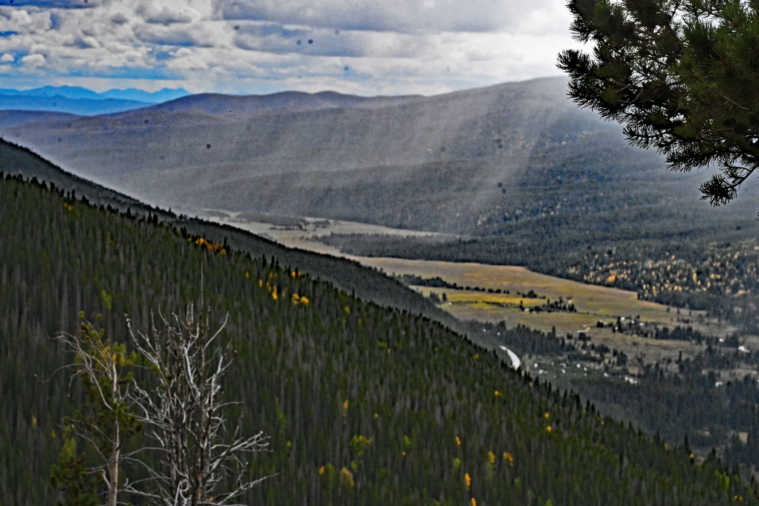
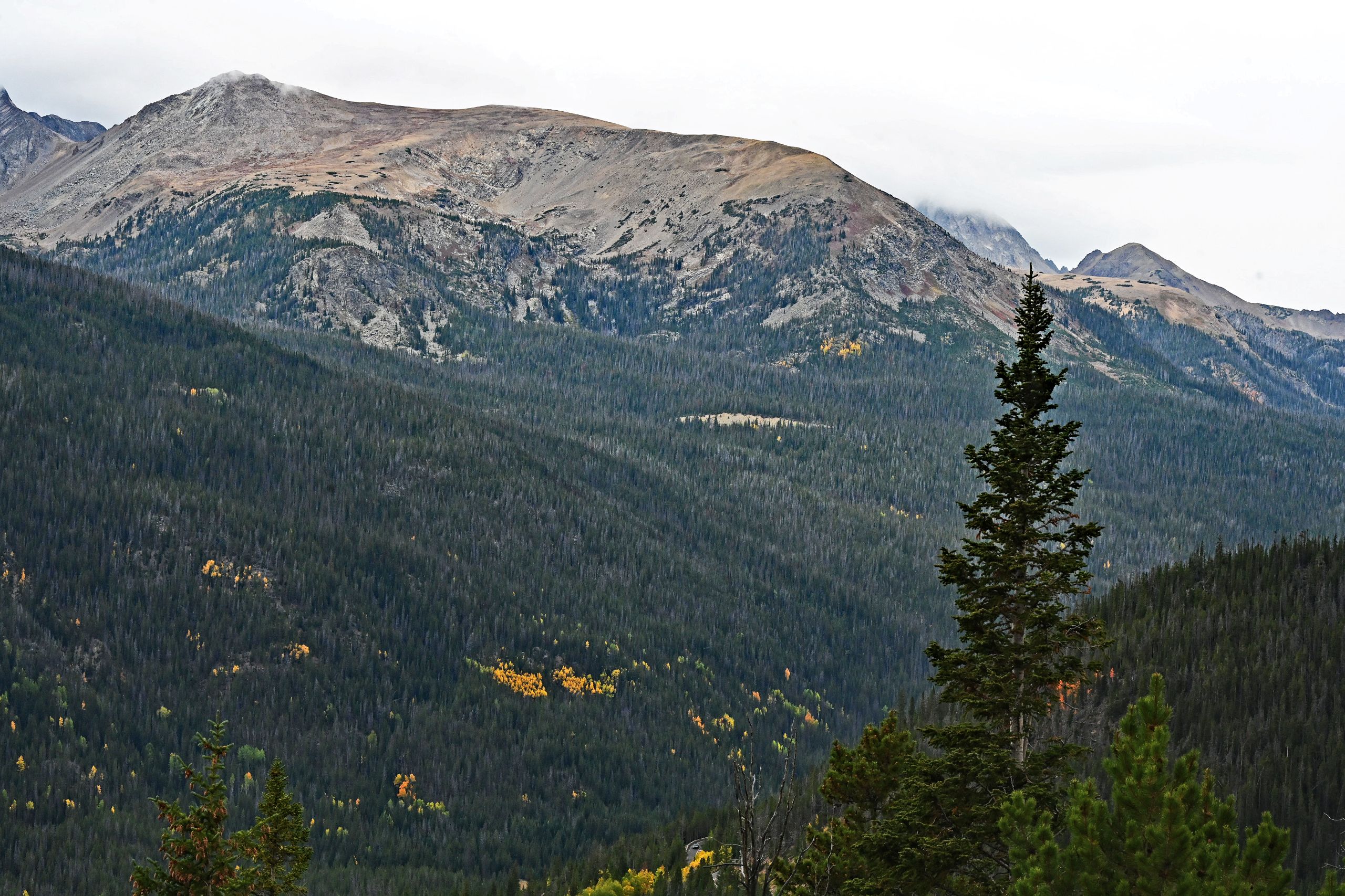
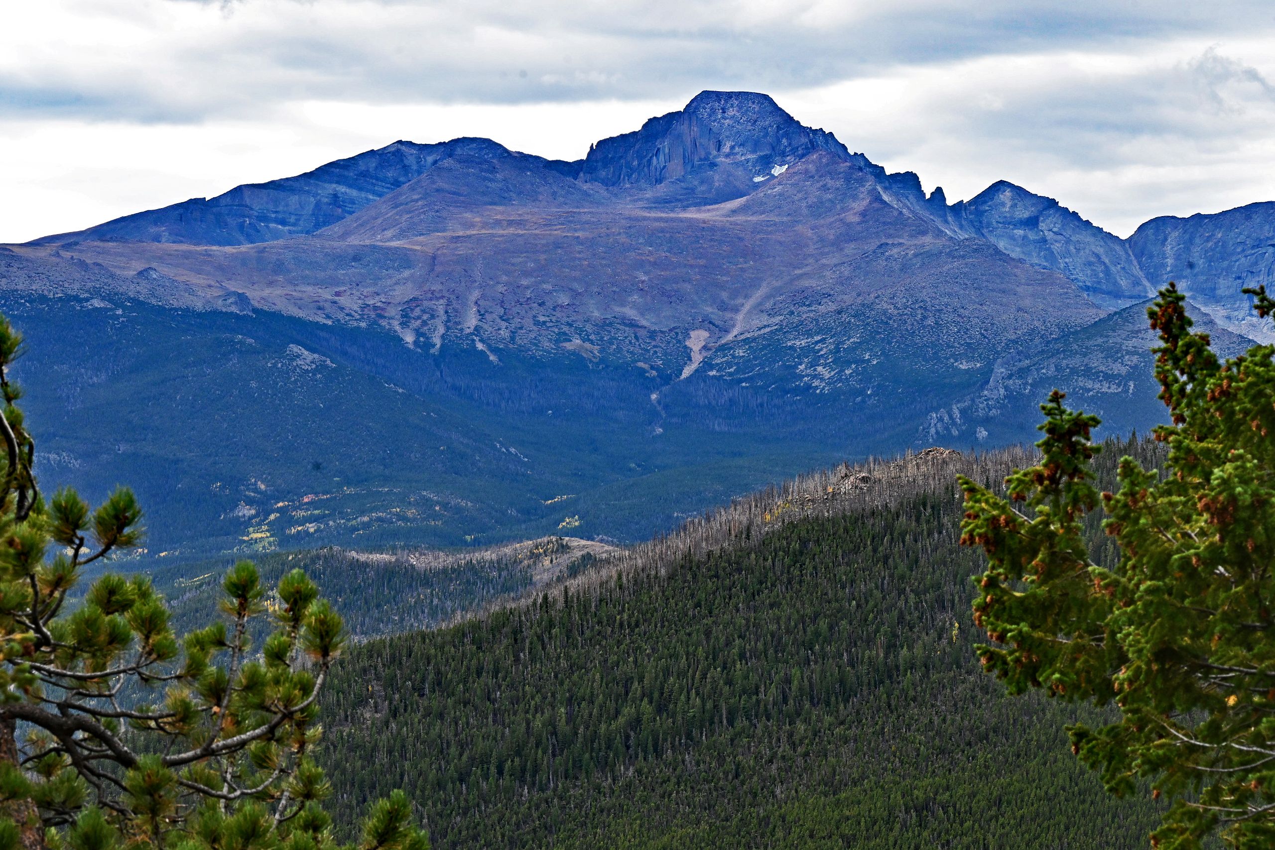
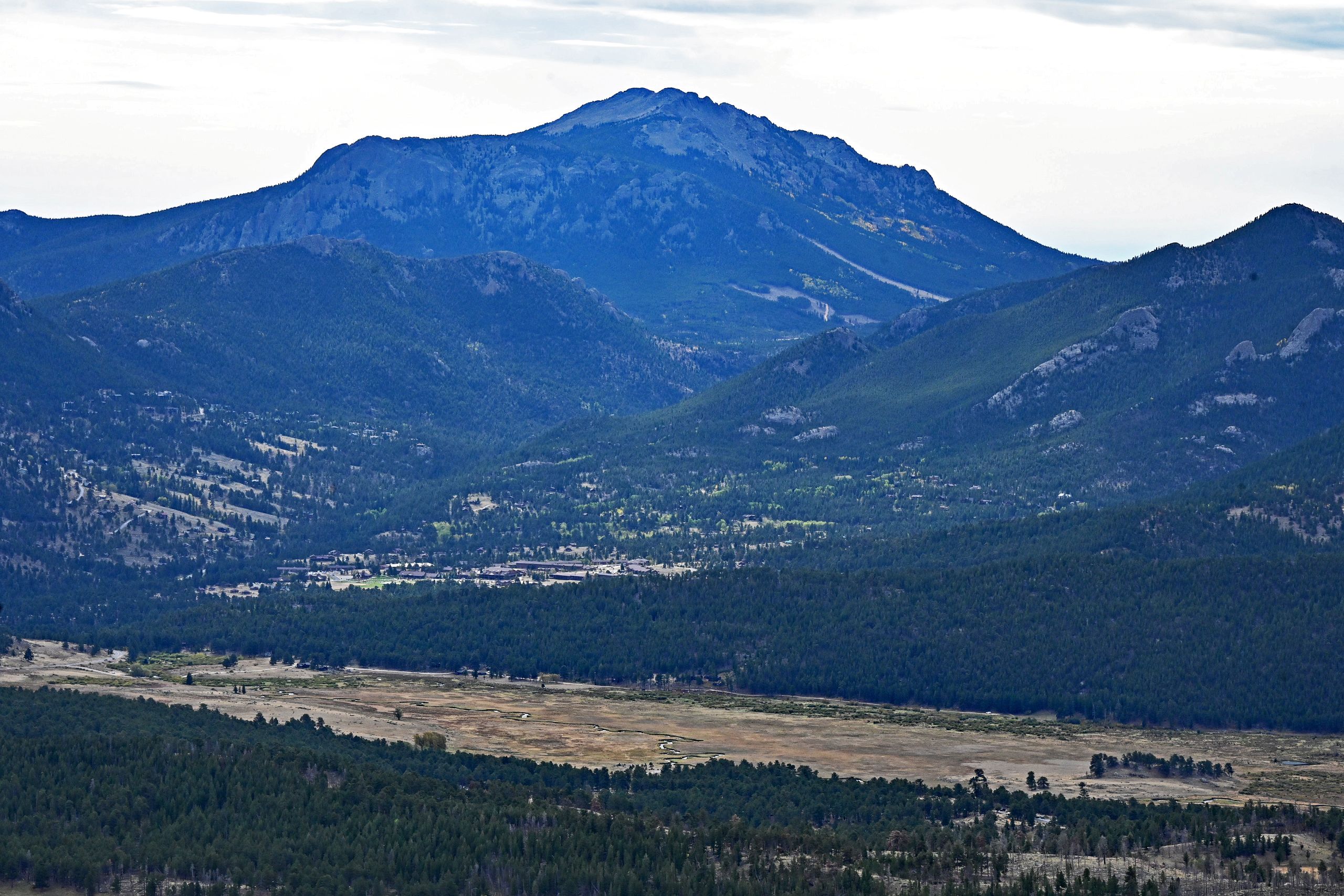
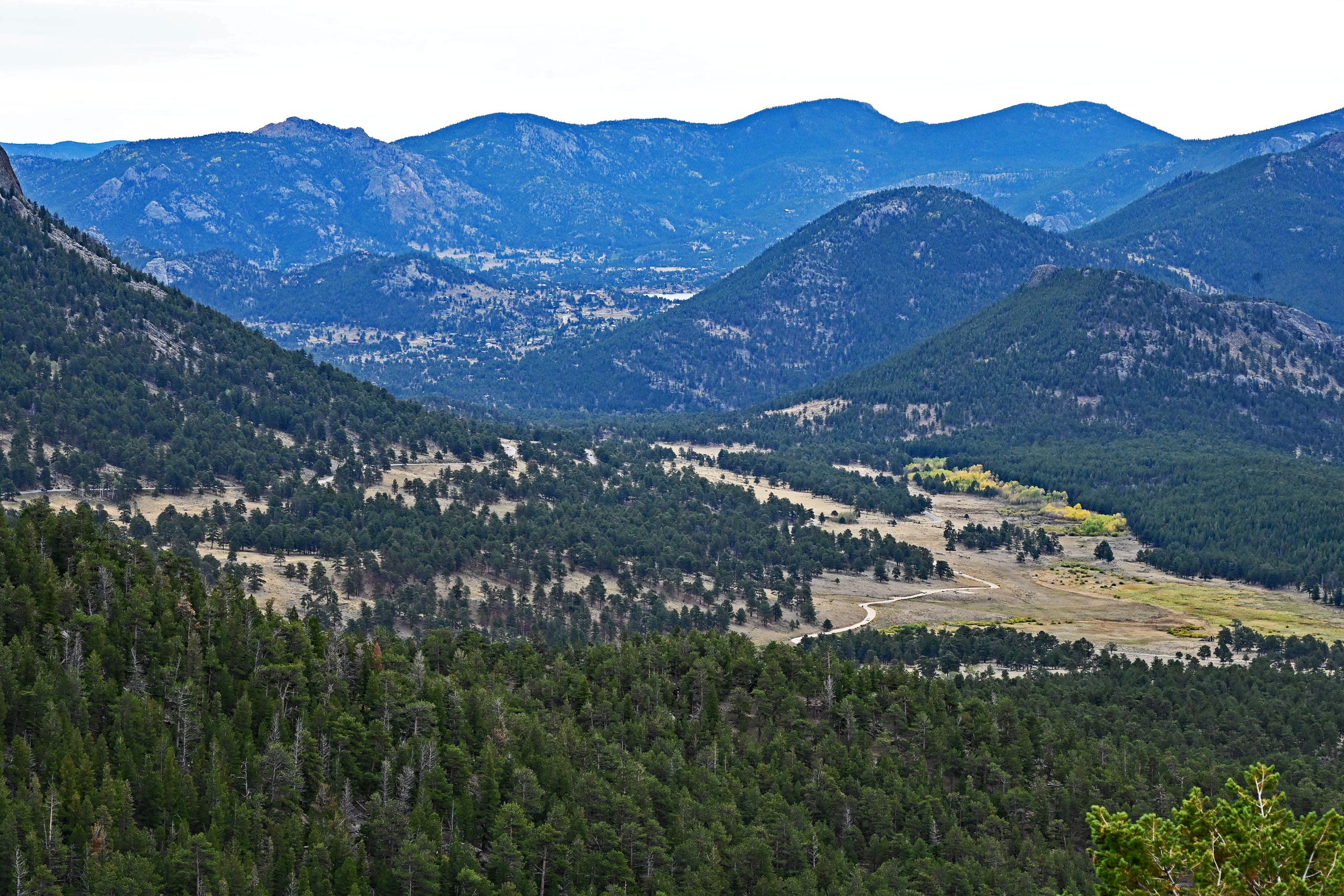
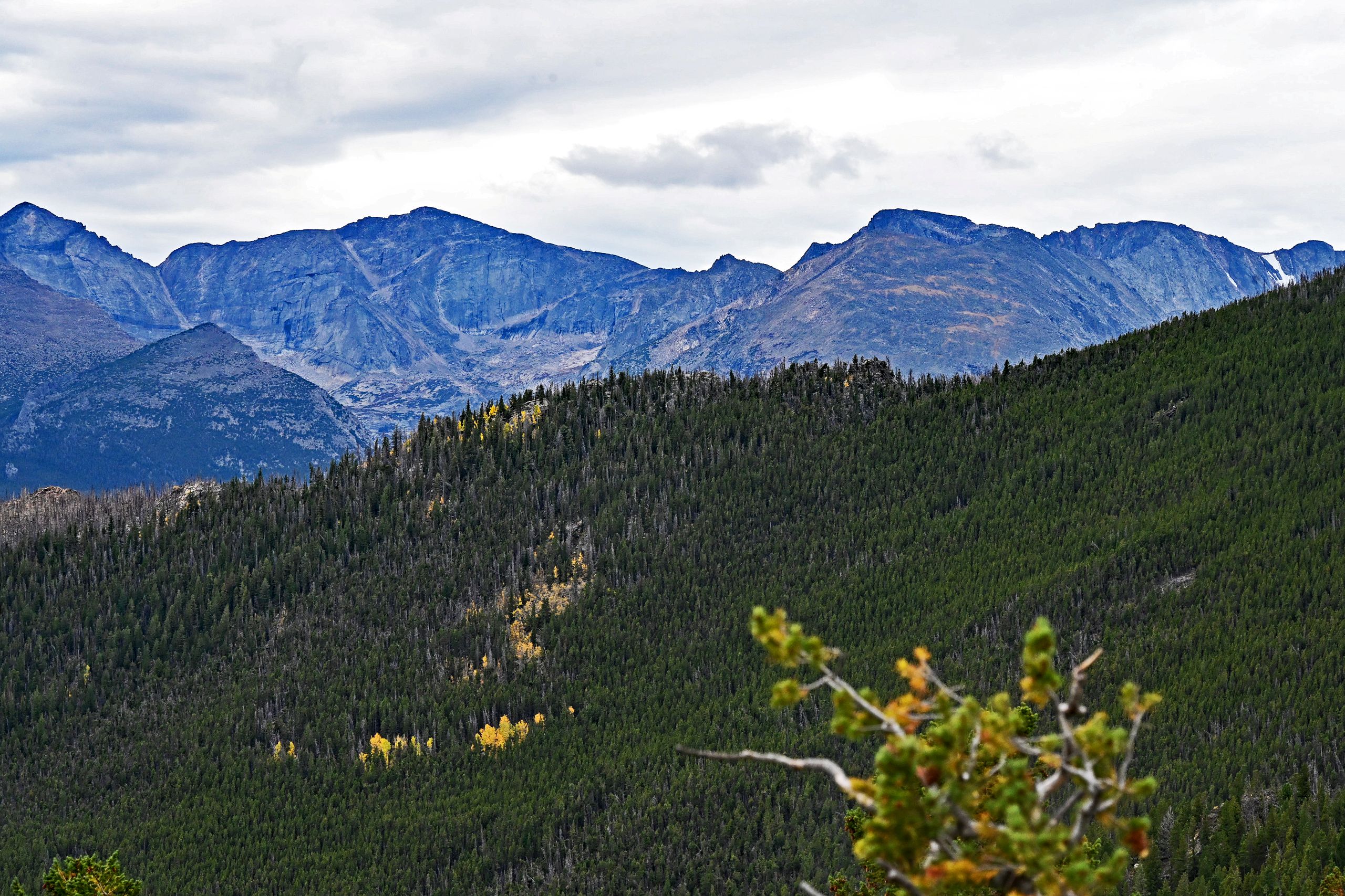
Our first planned stop brings us to Many Parks Curve. As we step out of the car, it is not just the thinning air that takes our breath away, but the overwhelming panorama. Rising like a fortress of gray granite and gneiss, the silhouette of Longs Peak builds up before us. Its distinctive, flat-topped crown looks almost artificially chiseled into the cloudy sky. Turning around, you look deep down into the vast Estes Valley. The houses below look like scattered toys, while behind them stretch the gentler, forested flanks of the Twin Sisters Peaks. The soft light of the September sun repeatedly breaks through the cloud cover, casting gigantic shadow patterns onto the hillsides.
Gallery I: Many Parks Curve Overlook
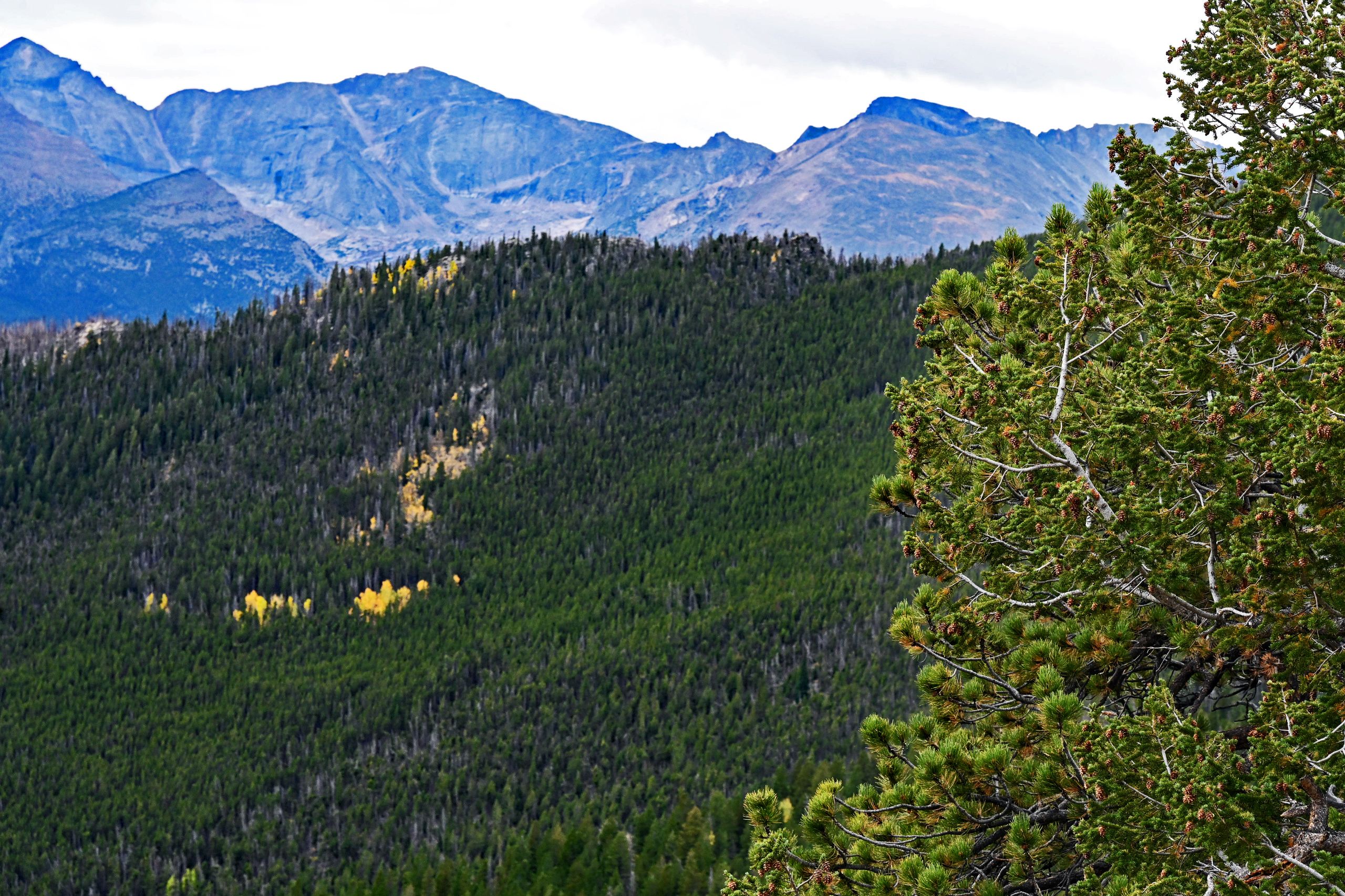
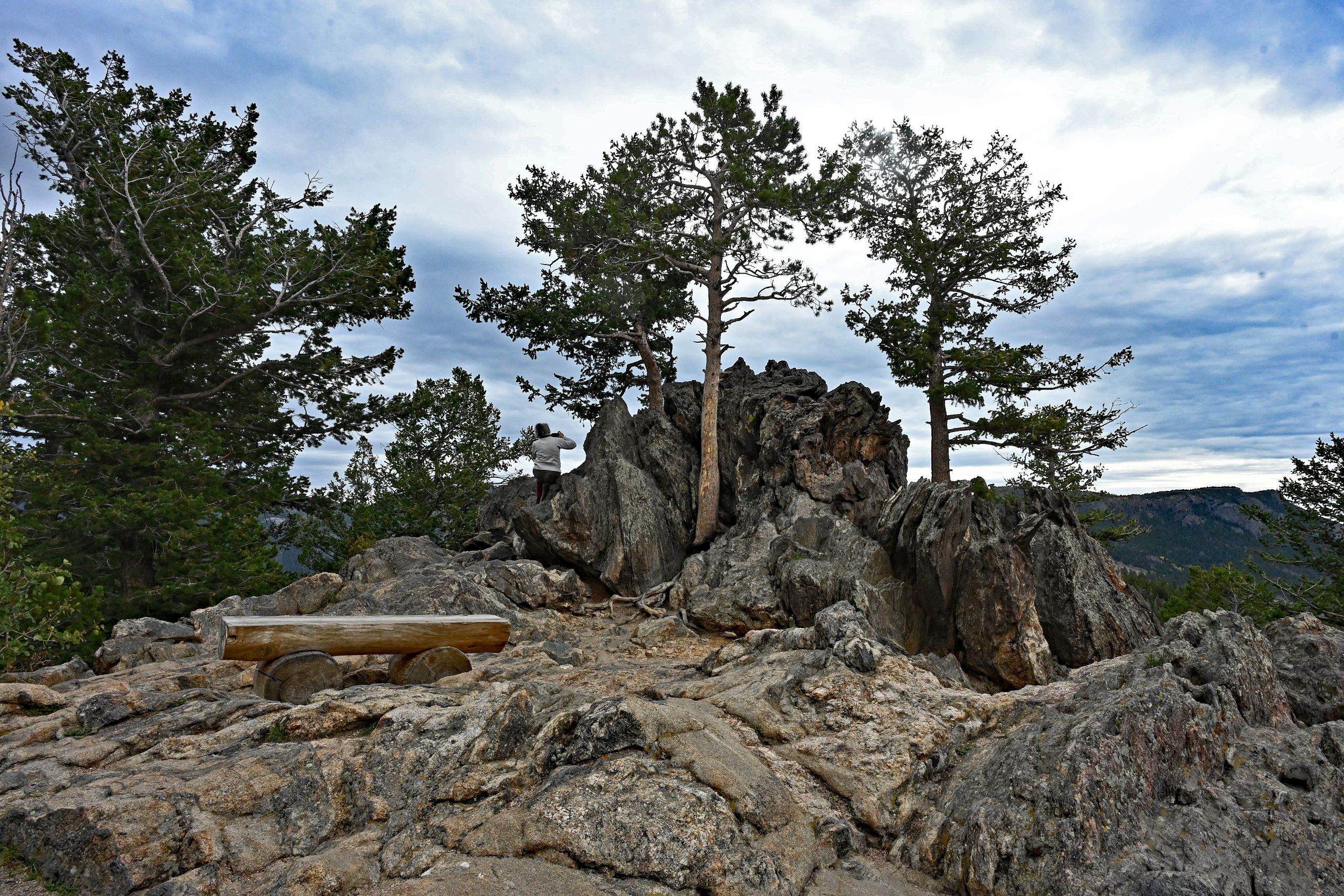
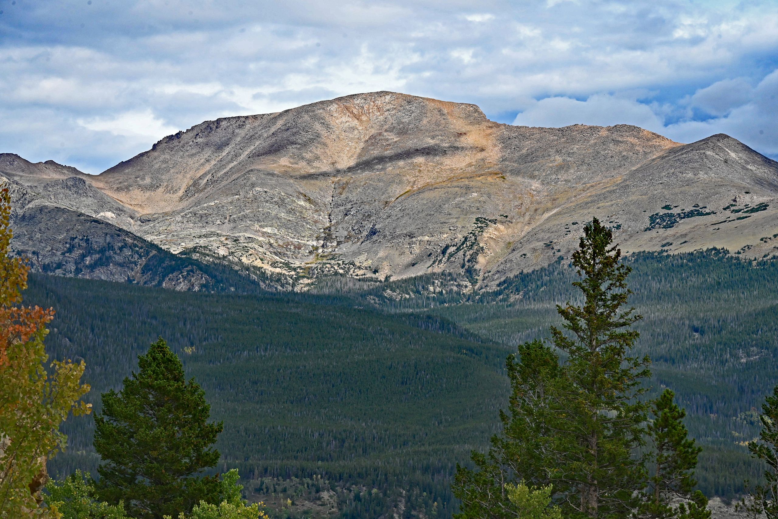
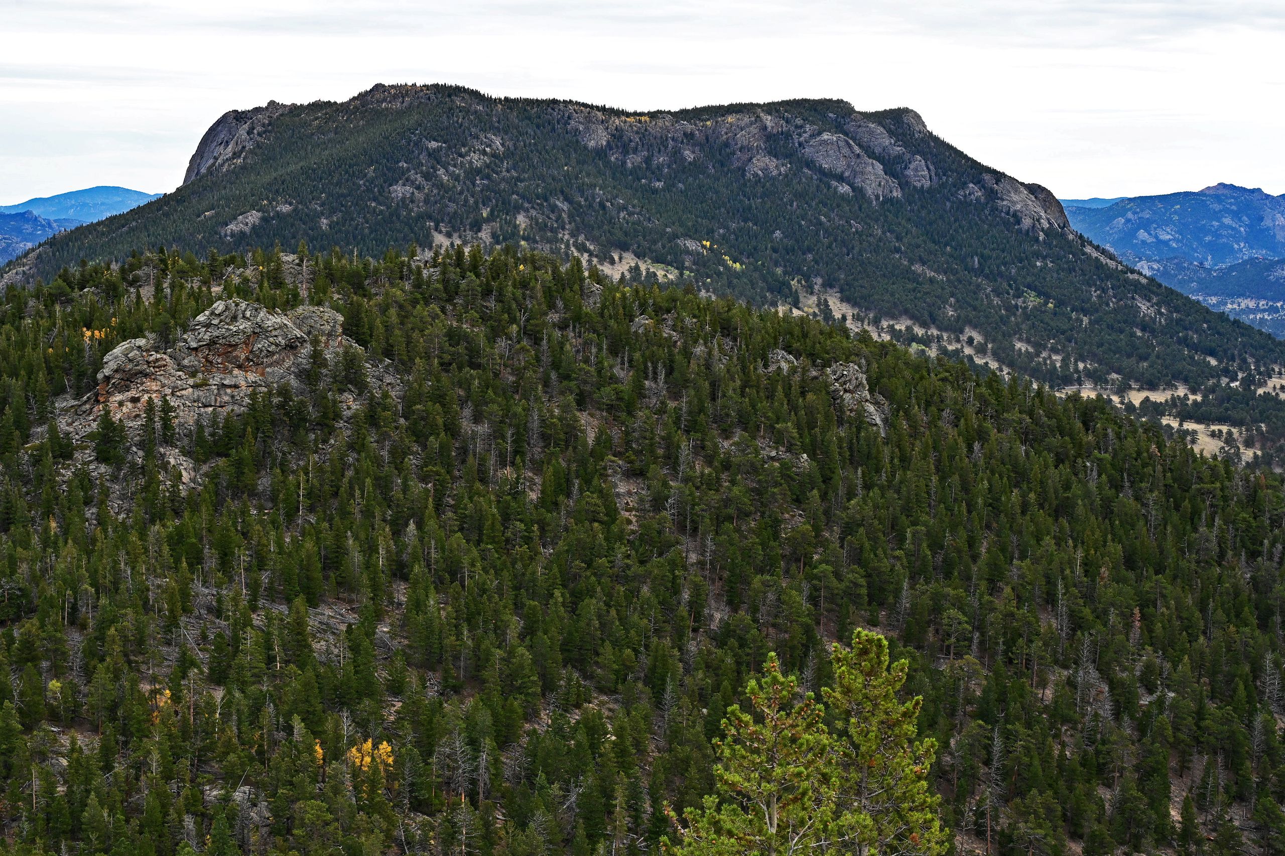
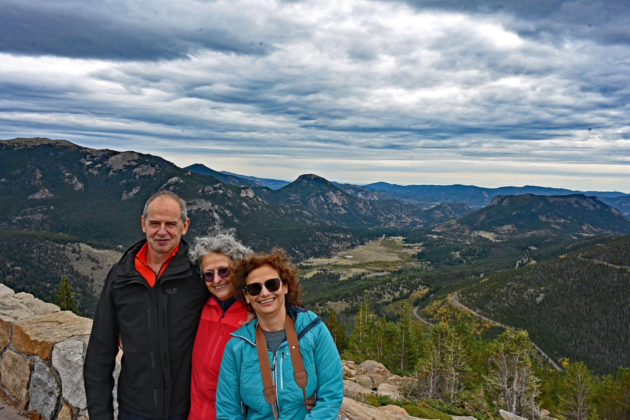
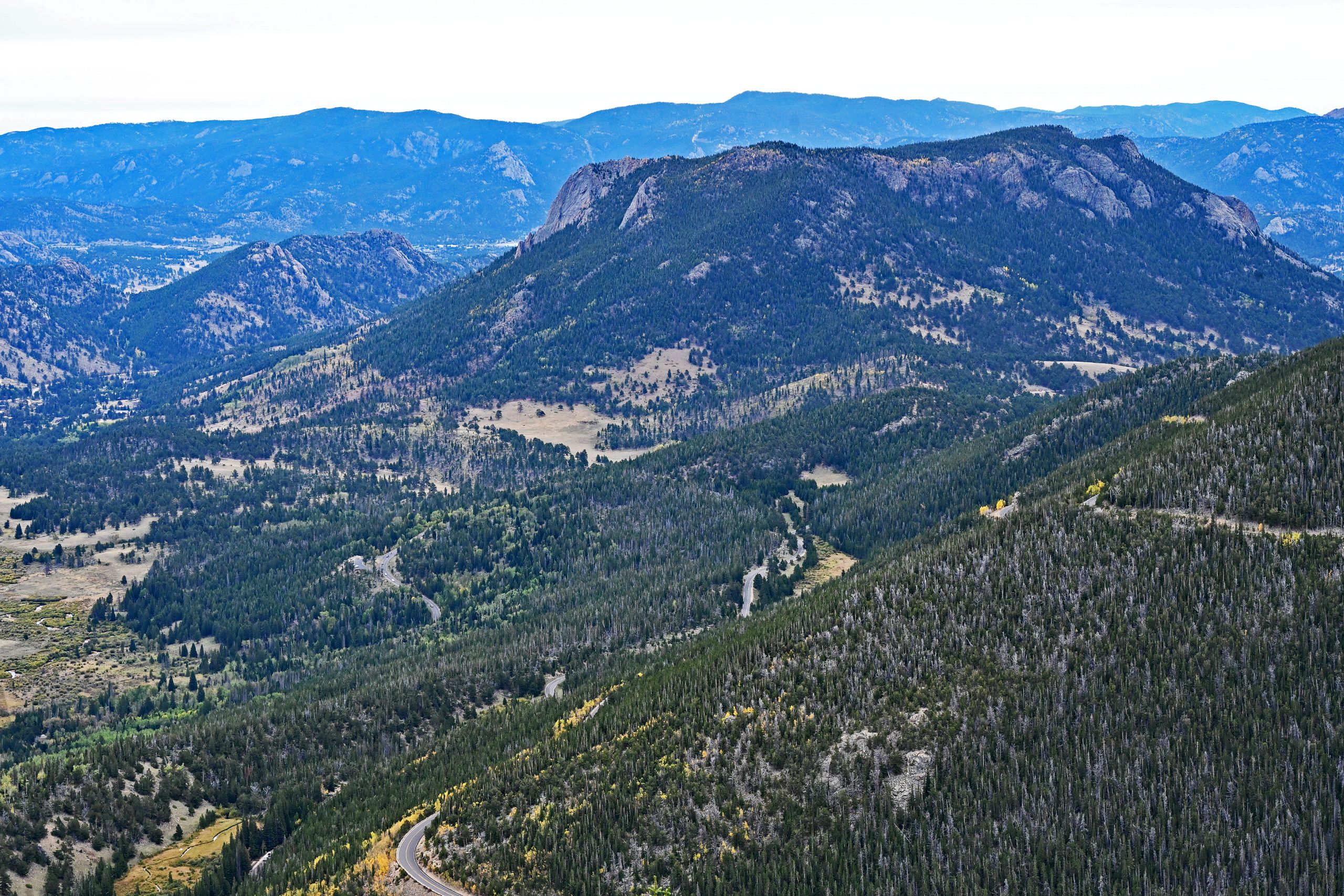
We drive further, and the landscape begins to noticeably transform. At the famous Rainbow Curve, we reach an invisible, magical border – the tree line. Up here, the pine trees defy the unyielding elements as weather-beaten krummholz. Their branches are bizarrely shaped by the eternal wind, their roots clawing deep into the bare bedrock. Yet, what fascinates us most up here is the Indian Summer. Far down in the valley of Horseshoe Park, where the Fall River snakes through the bright meadows in elegant loops, vast aspen groves glow in an almost surreal, intense golden yellow. To fully soak in this splendor, we scramble onto the rocky ledges right at the cliffs. From the very top, an unobstructed, wide view opens up to the rugged ridges of the Mummy Range and the pyramid-shaped Bighorn Mountain. We feel the pulse of the elevation, the adrenaline of the climb, and a deep connection with this wild nature. Before getting back into the car, we capture this moment at the stone viewing terrace in a joint photo – three happy faces in front of a backdrop that we will never forget.
Gallery II: Between Krummholz and Cliffs at Rainbow Curve
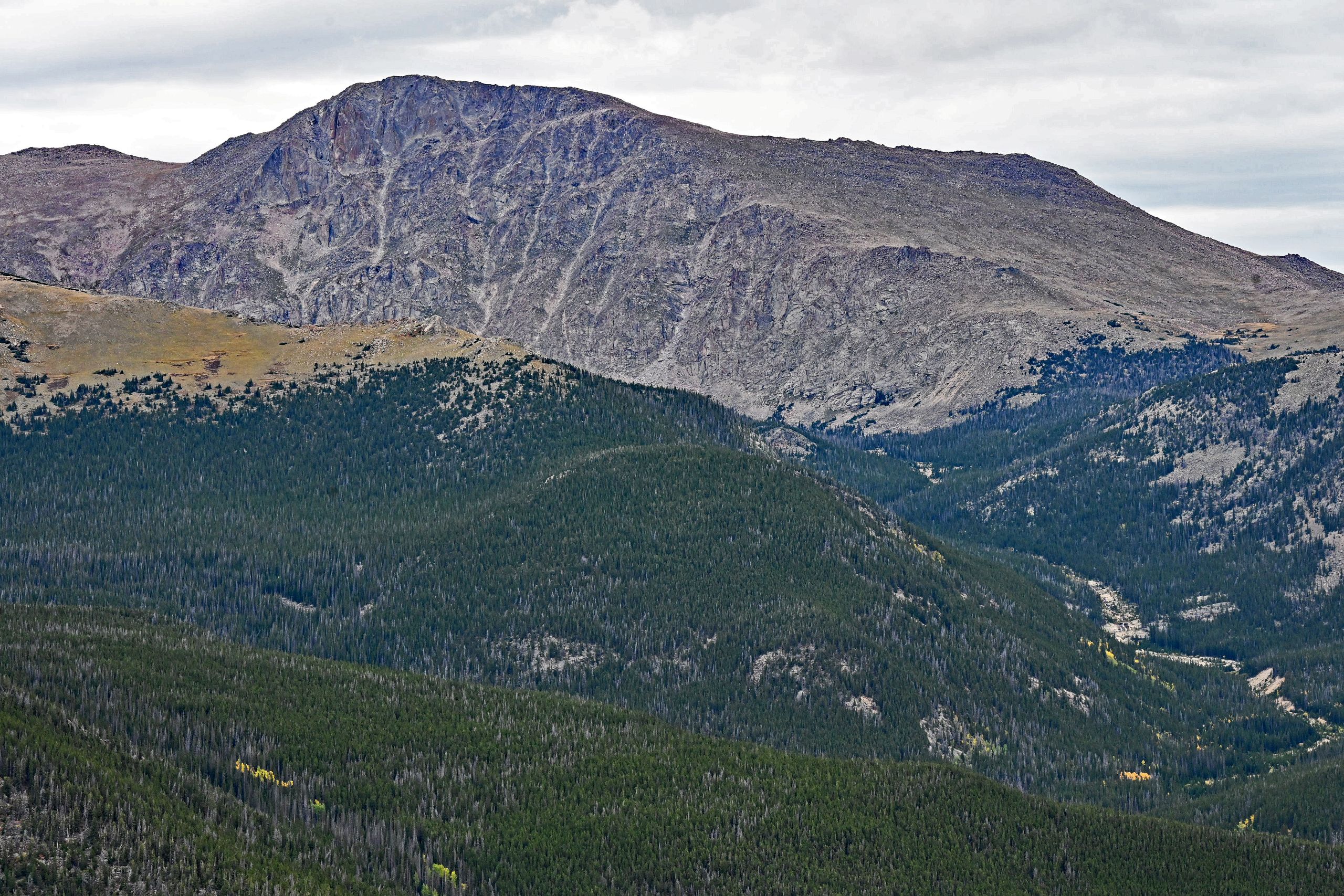
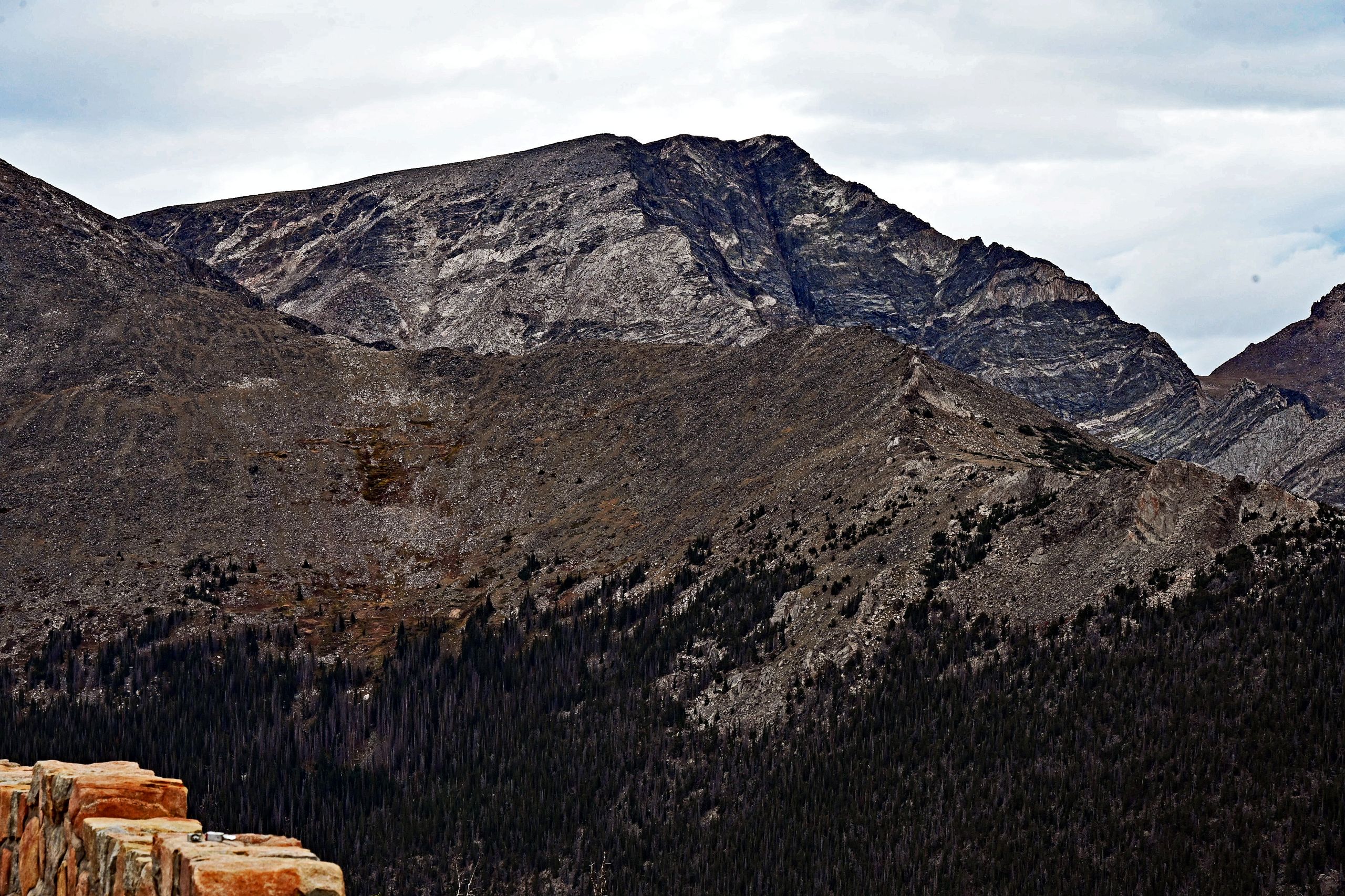
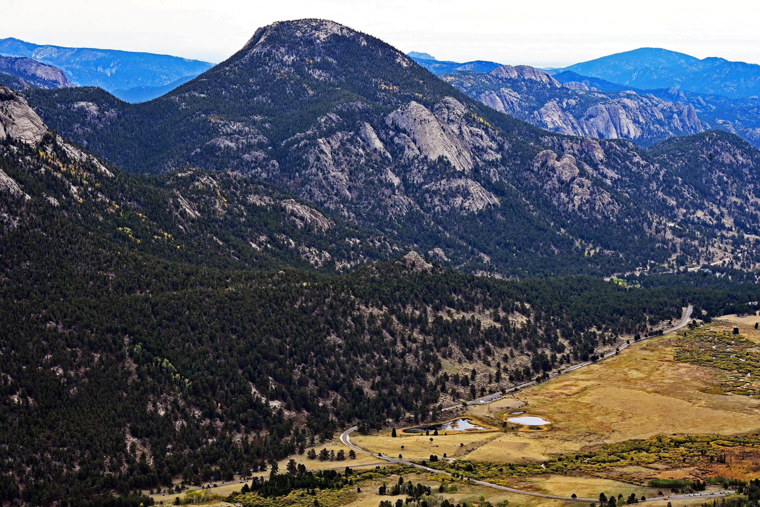
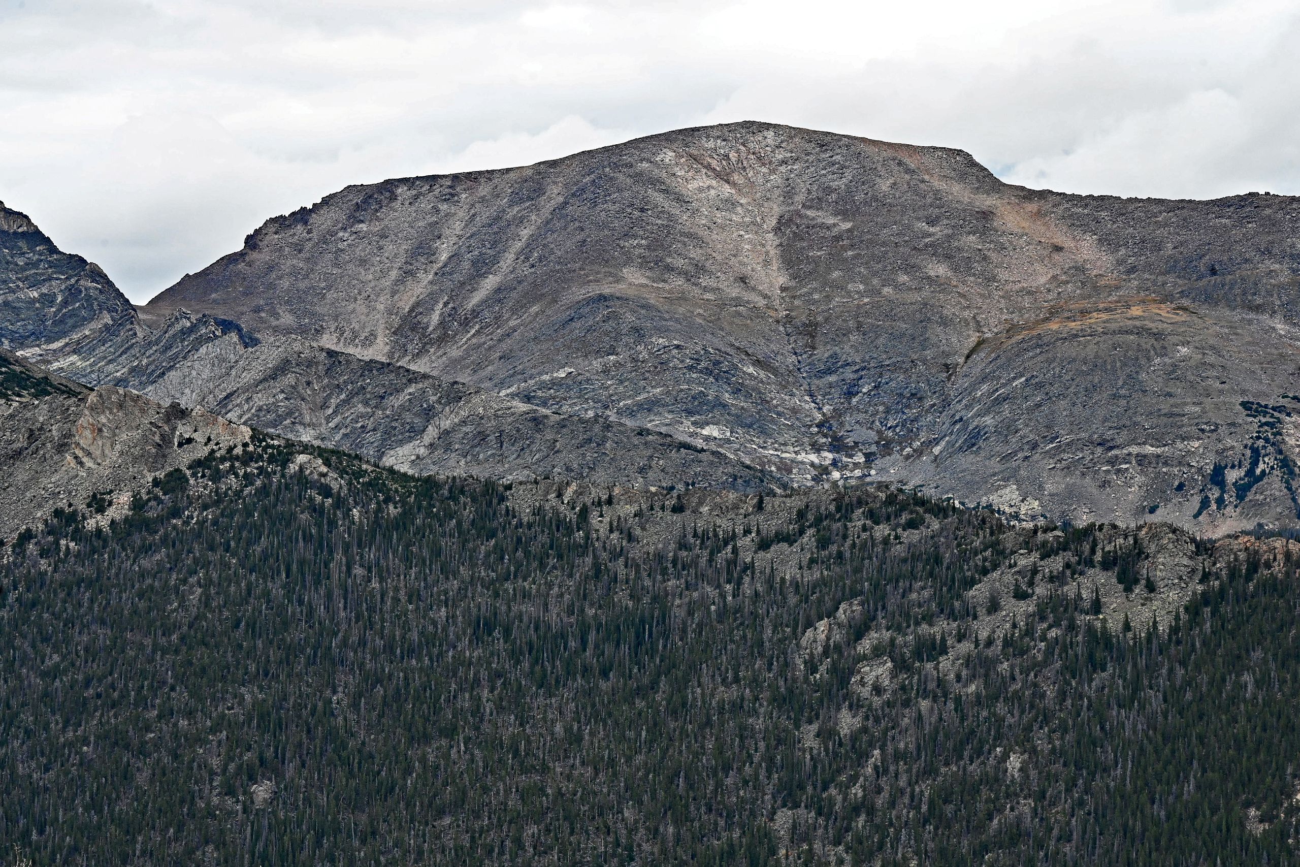
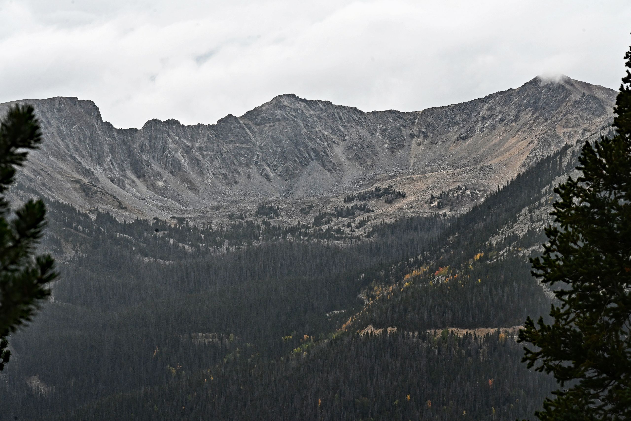
Leaving the last trees behind, we continue to gain altitude and reach the spectacular gap at Rock Cut. Above 12,000 feet, a harsh, almost meditative silence reigns. The contours of the landscape become flatter and more undulating, yet all the more monumental. A vast alpine steppe spreads out before us, covered in barren, lichen-encrusted rock and tundra grass that has turned a warm golden brown in the autumn wind. Nature shows its uncompromising side here: the naked rock walls of Terra Tomah Mountain and Ypsilon Mountain rise up like gray fortresses. Their massive, bowl-shaped cirques bear witness to the immense power of ice-age glaciers that blasted deep scars into the granite. In the shaded hollows, patches of old winter snow still defy the sun even now, at the end of September. Far below in the valley basin, we also catch sight of a beautiful landmark: the Sheep Lakes.
Gallery III: The Rugged Realm of Rock at Rock Cut
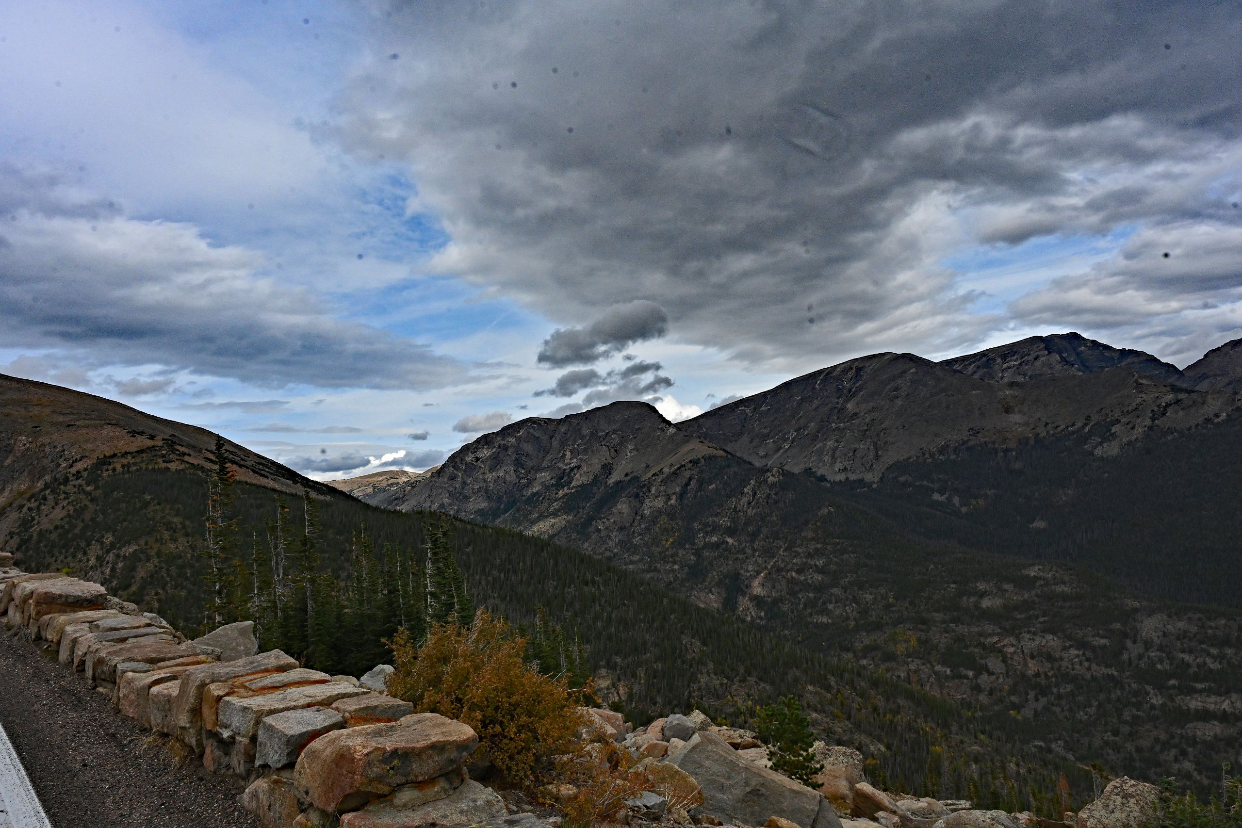
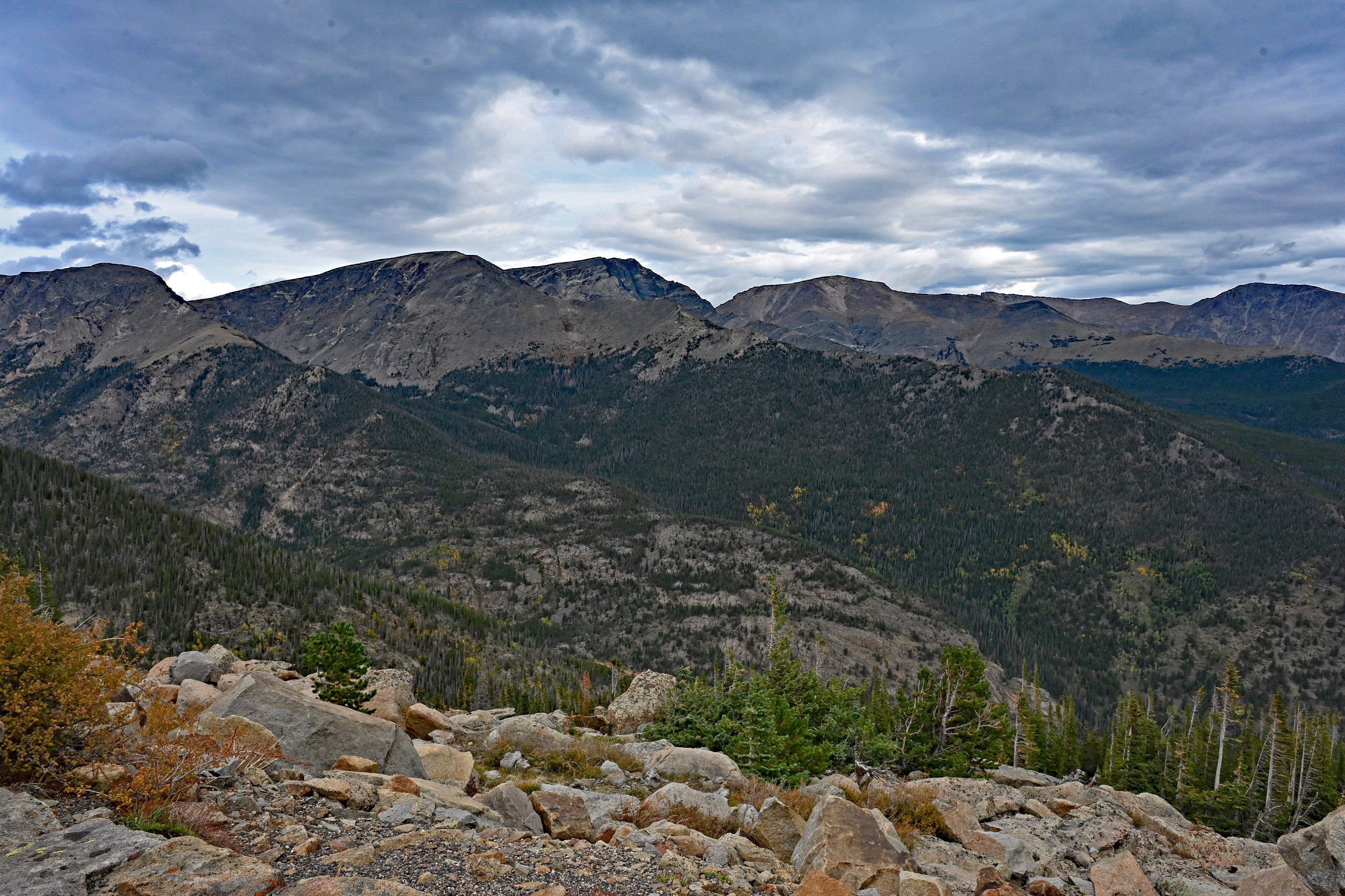
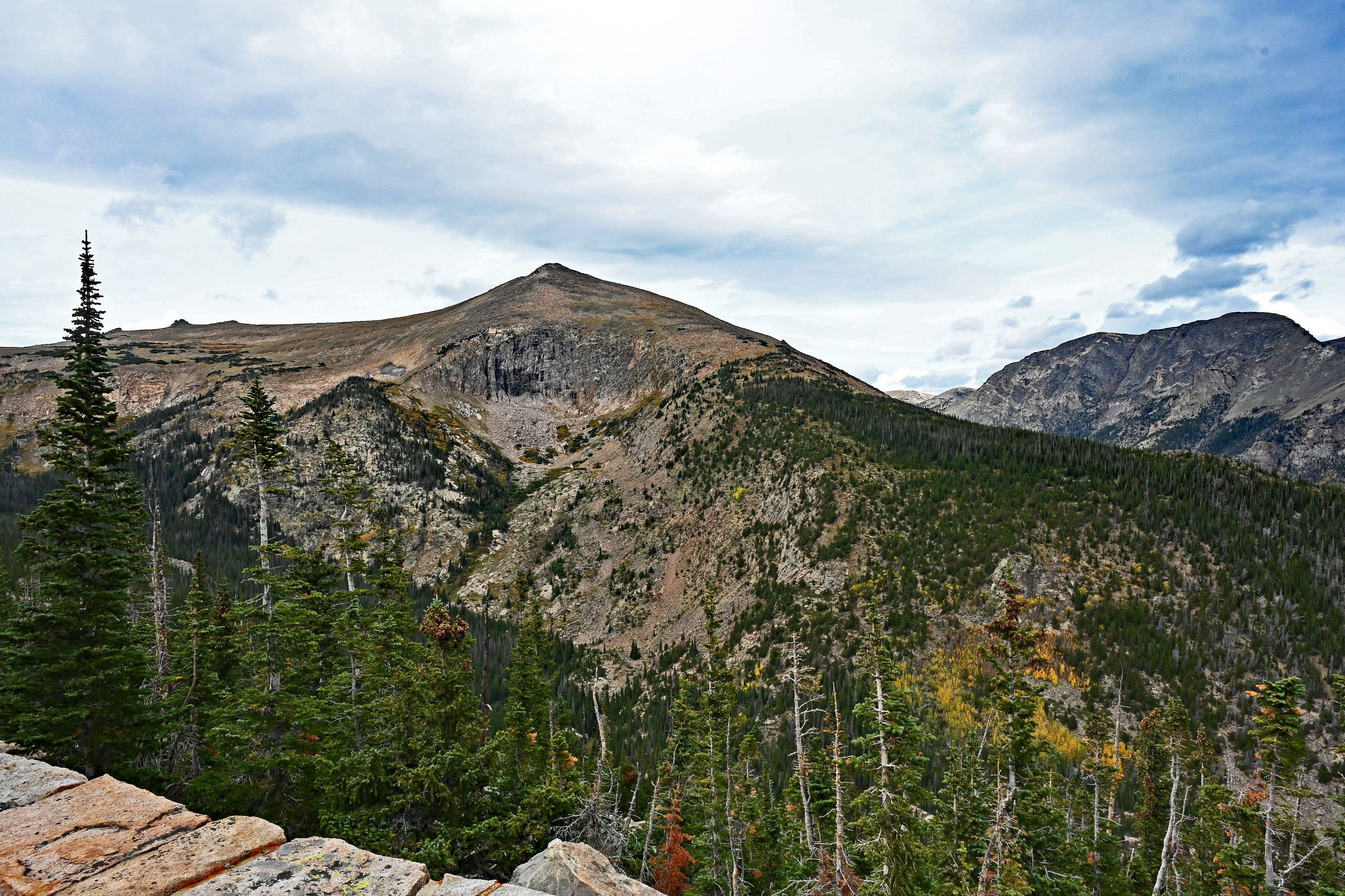
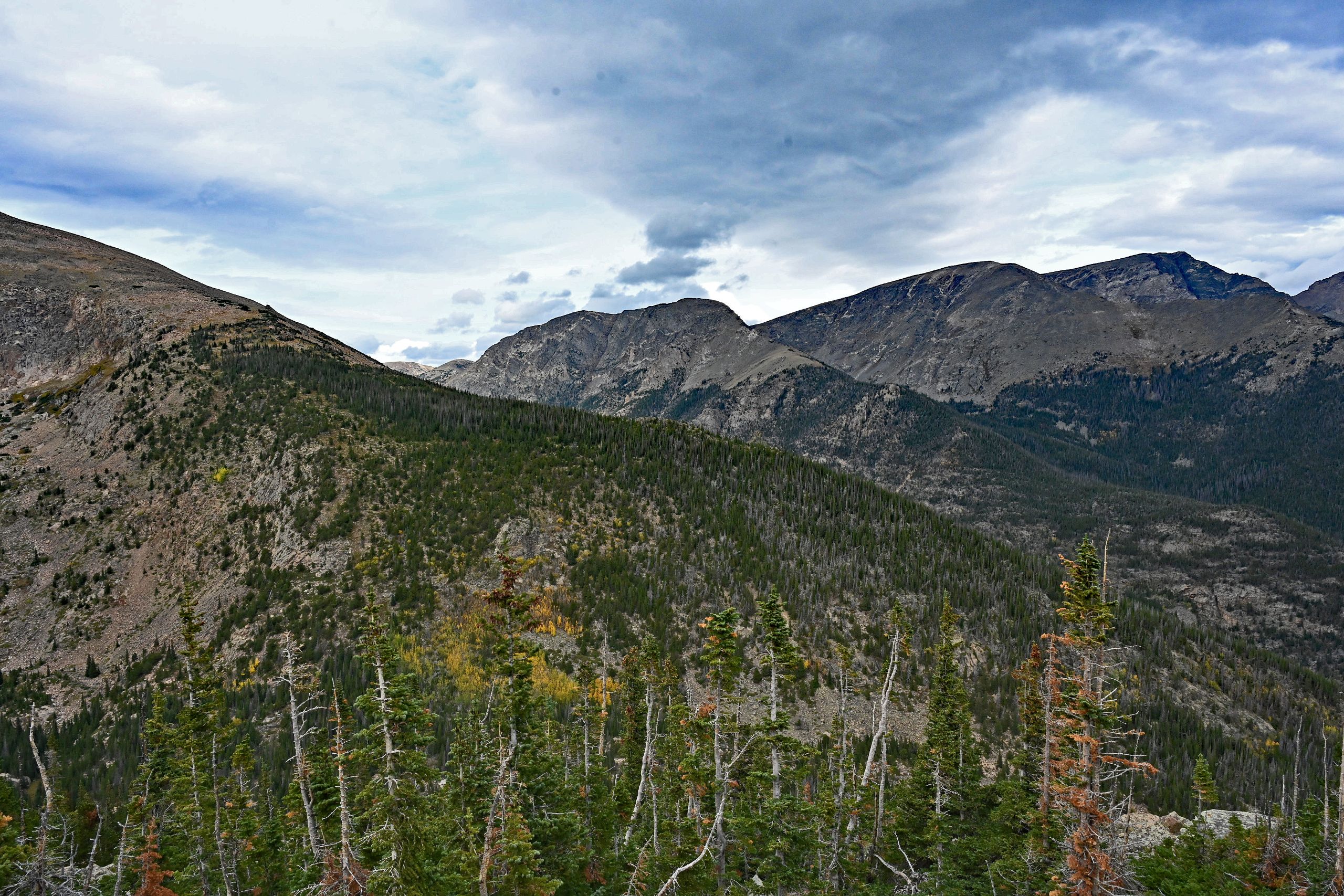
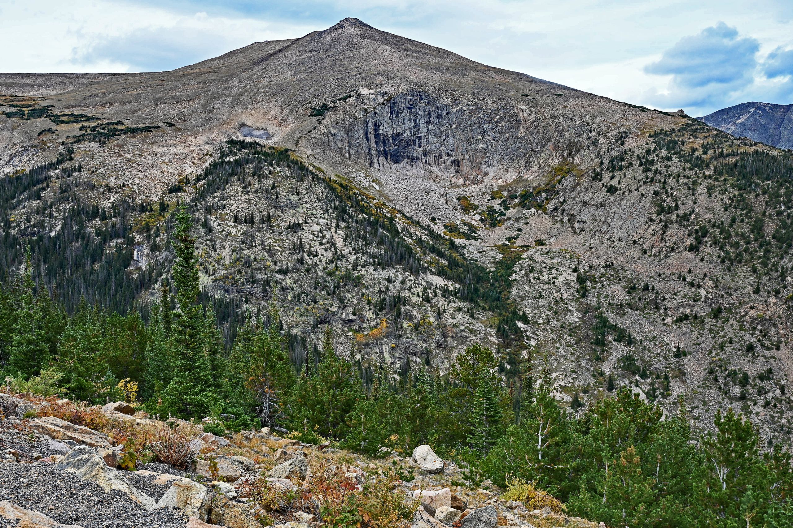
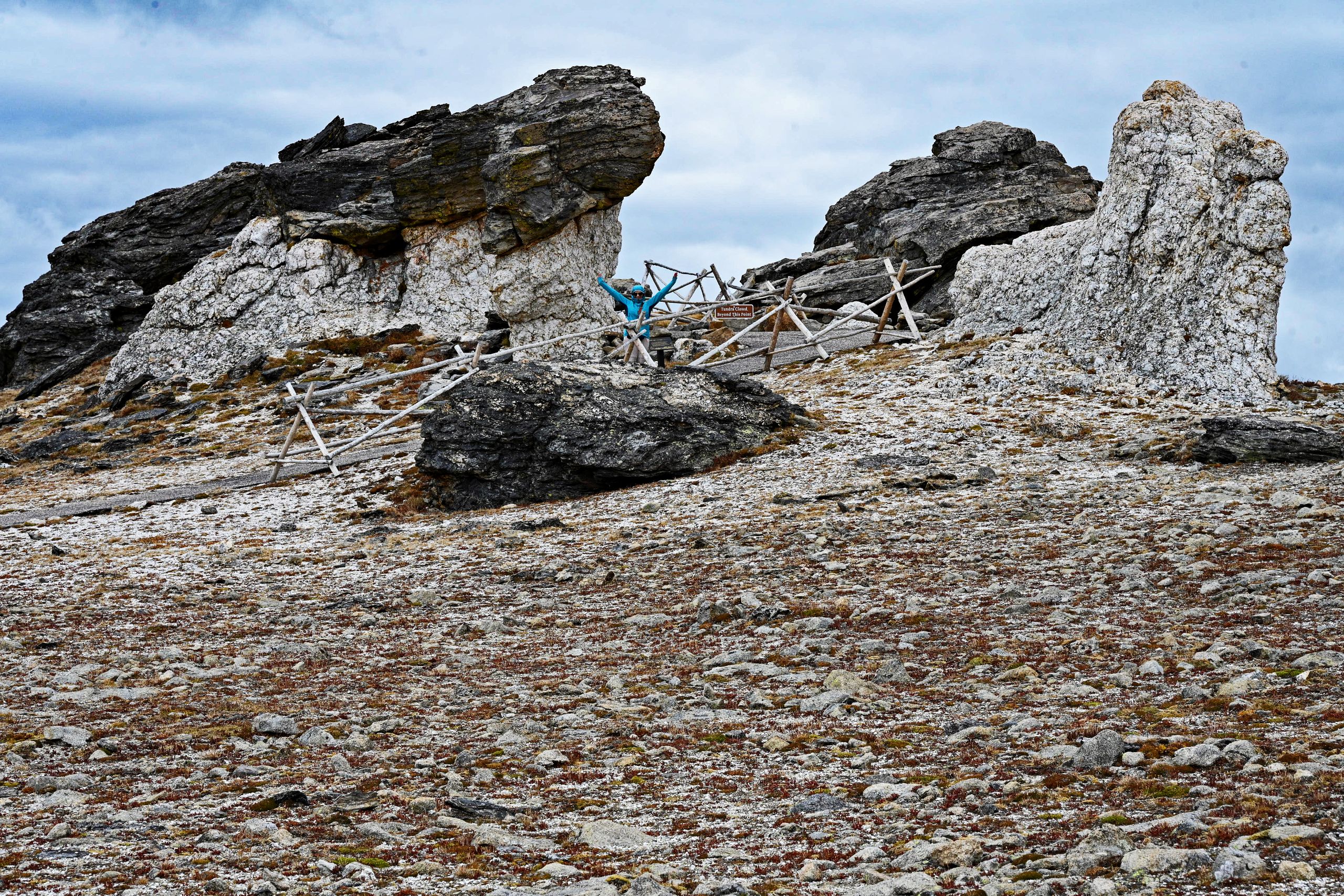
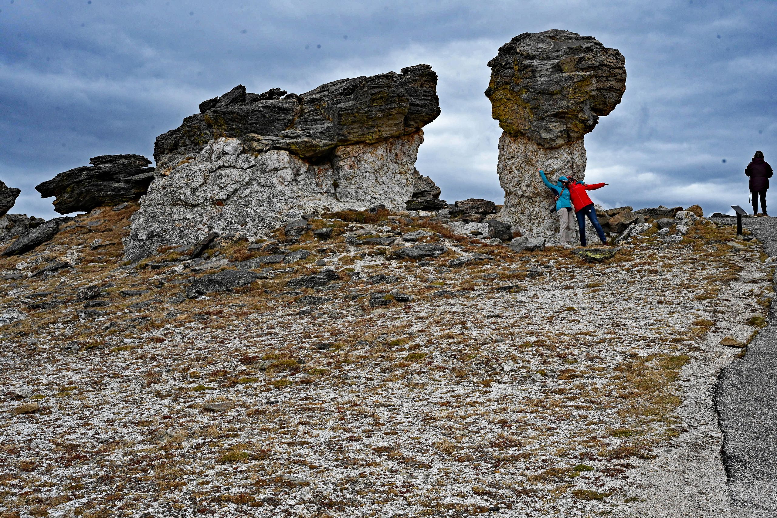
Right at Rock Cut, we lace up our hiking boots and step onto the paved Tundra Communities Trail. Every step at this extreme altitude is strenuous, the air is thin, but the visual reward is limitless. The path leads us past small krummholz islands tucked into protected hollows, straight into a geological wonderland. Suddenly, they appear before us: the famous Mushroom Rocks. These bizarre, gigantic rock formations made of layered gneiss slabs look like massive mushrooms made of stone, sculpted by thousands of years of erosion. Hania and Basia cannot resist leaning full of energy against the narrow rocky stem – a wonderful contrast between the ancient stone monuments and our joy of life. Finally, we triumphantly reach the official, wooden end of the trail.
Gallery IV: Hiking the Tundra Communities Trail to the Mushroom Rocks
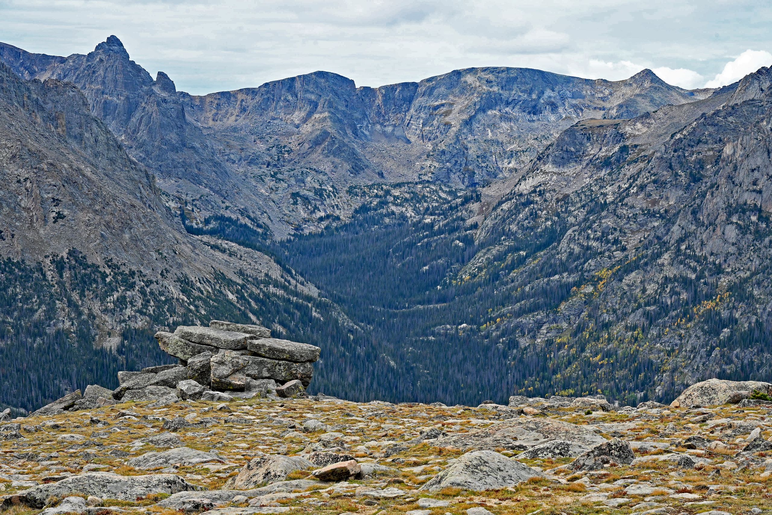
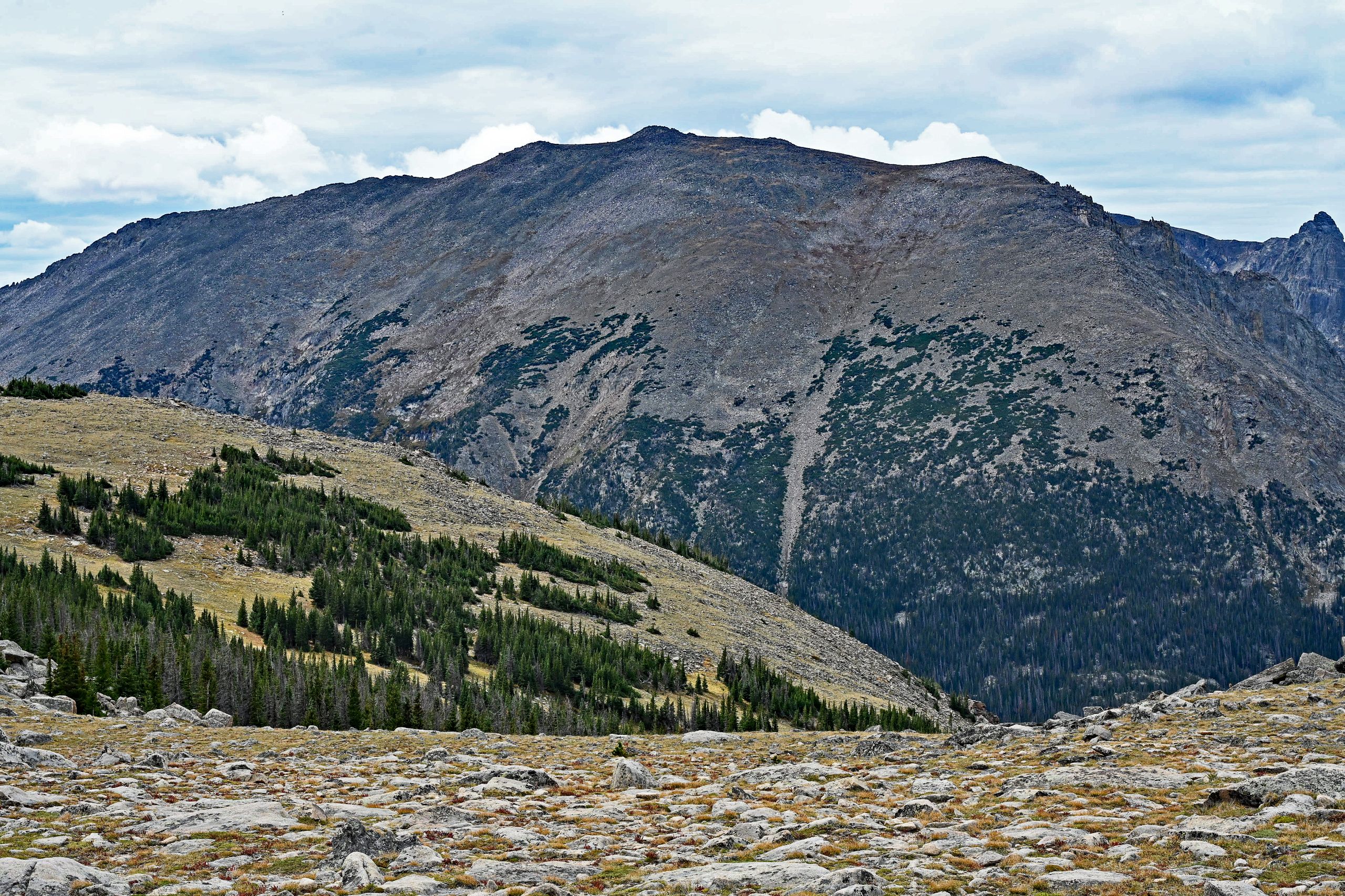
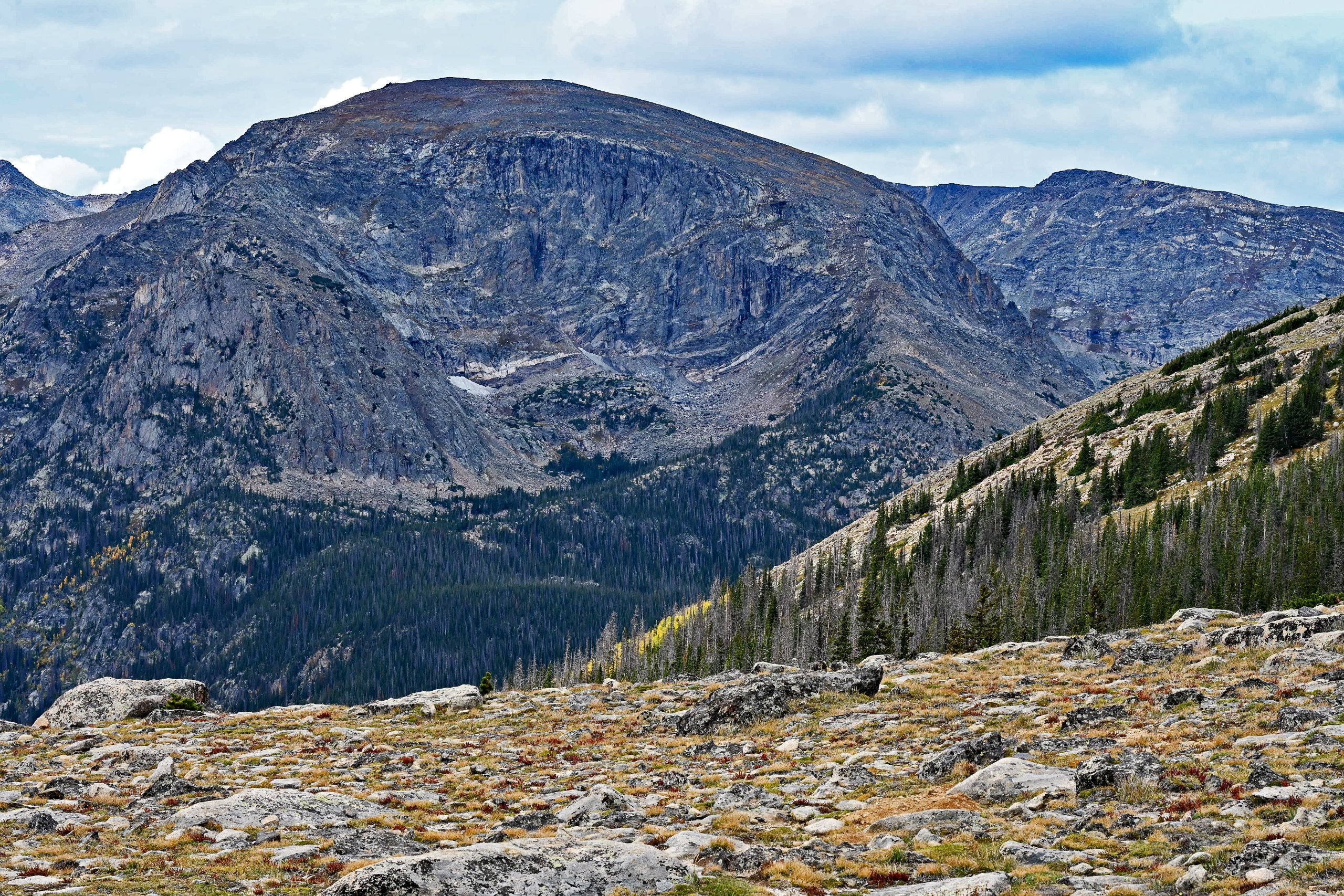
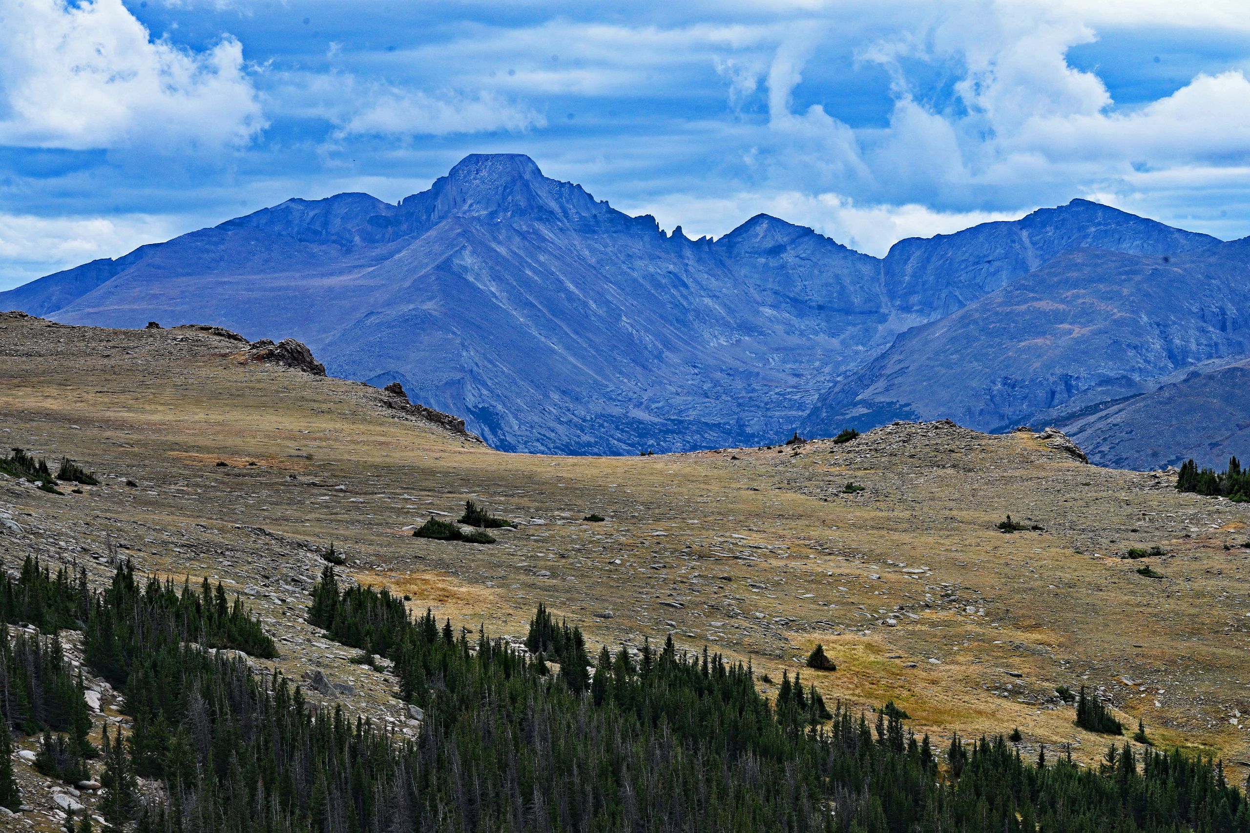
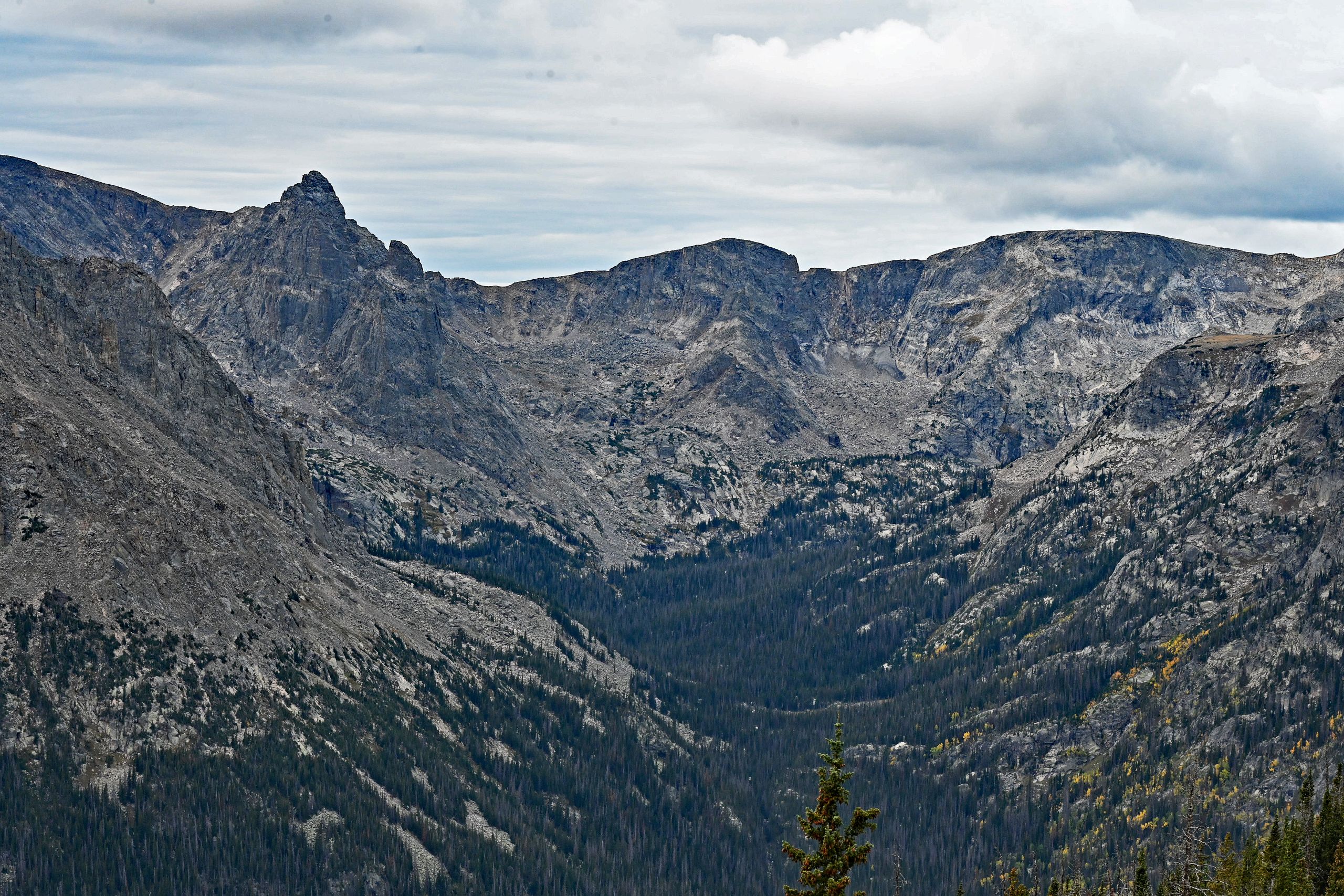
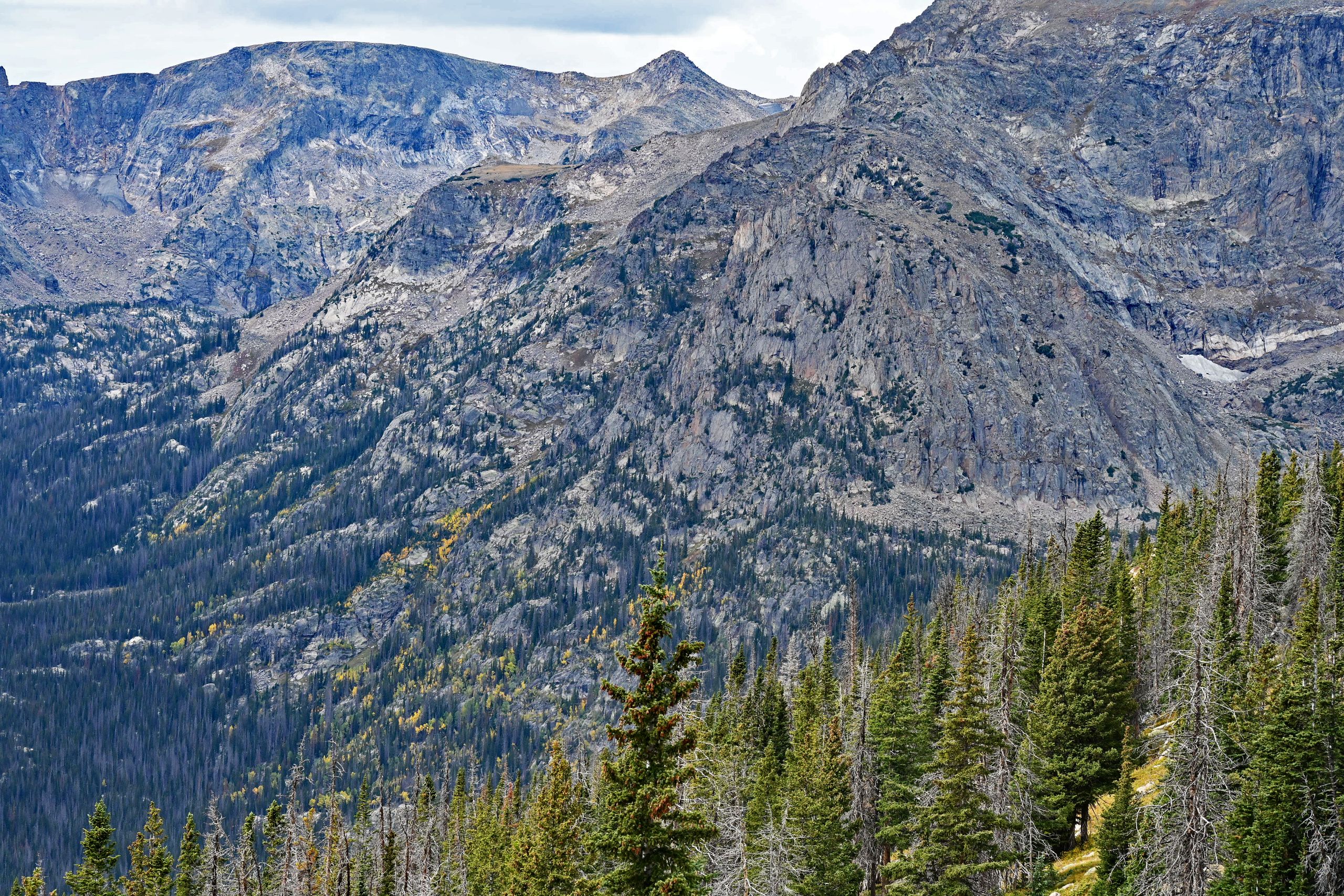
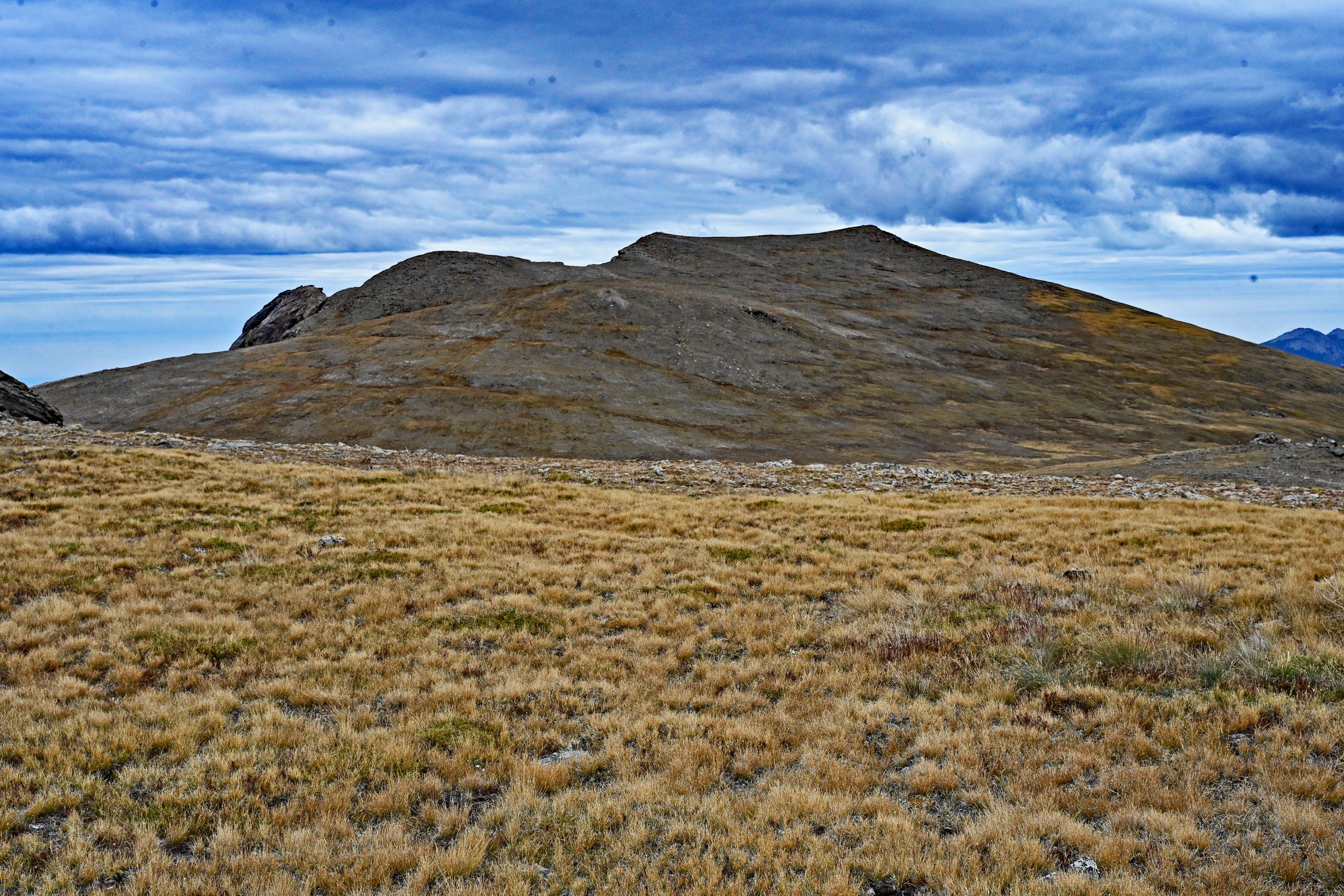
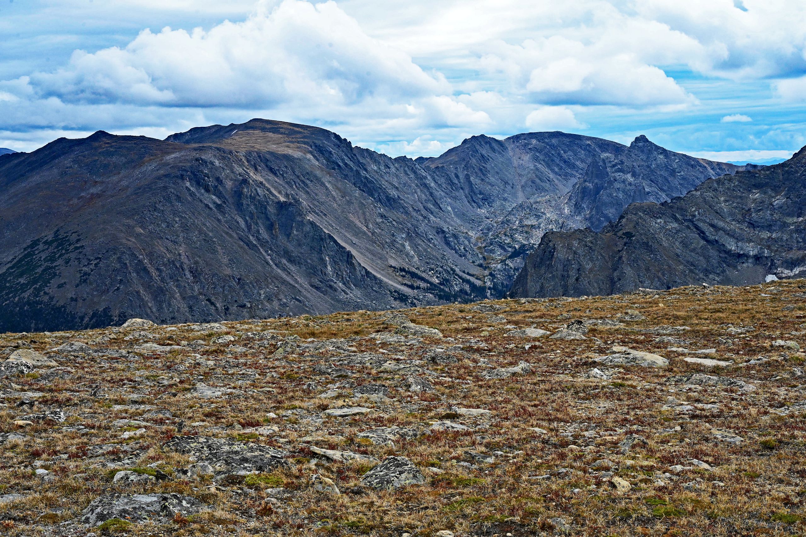
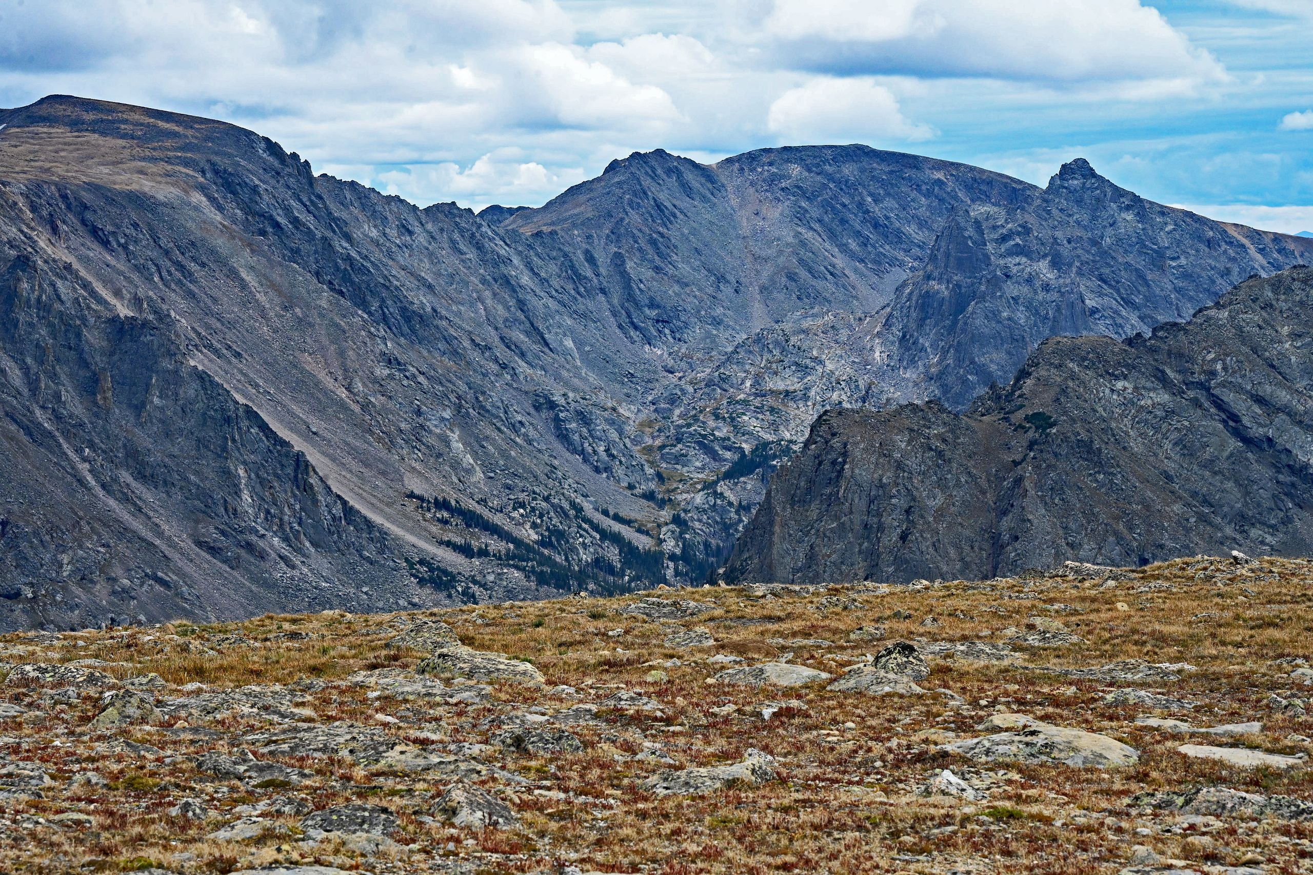
Yet, we want to go even higher. Beyond the mushroom rocks, the path draws further up across the wide high plateau at the end of the trail. Up here, you feel infinitely close to the sky. The perspective opens up 360 degrees across the wind-swept plateau. To the west, the razor-sharp spire of Hayden Spire juts into the air like a steep tooth above the dizzying abyss of Forest Canyon. Behind it, the endless wall of the Continental Divide builds up, while on the western horizon, the reddish-gray flanks of Mount Richthofen and the Never Summer Mountains shimmer in a hazy blue. I cannot stop taking pictures – every direction offers a new, postcard-perfect motif along this high ridge path, while our next milestone, the Alpine Center, already appears on the horizon.
Gallery V: The Upper Tundra Plateau Beyond the Mushrooms
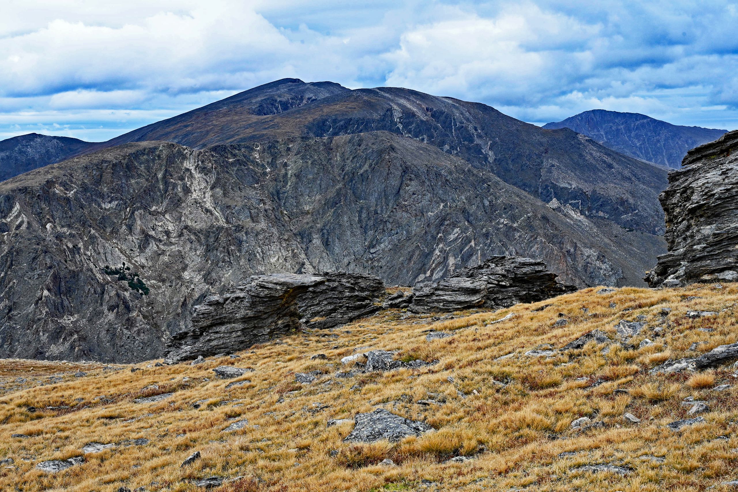
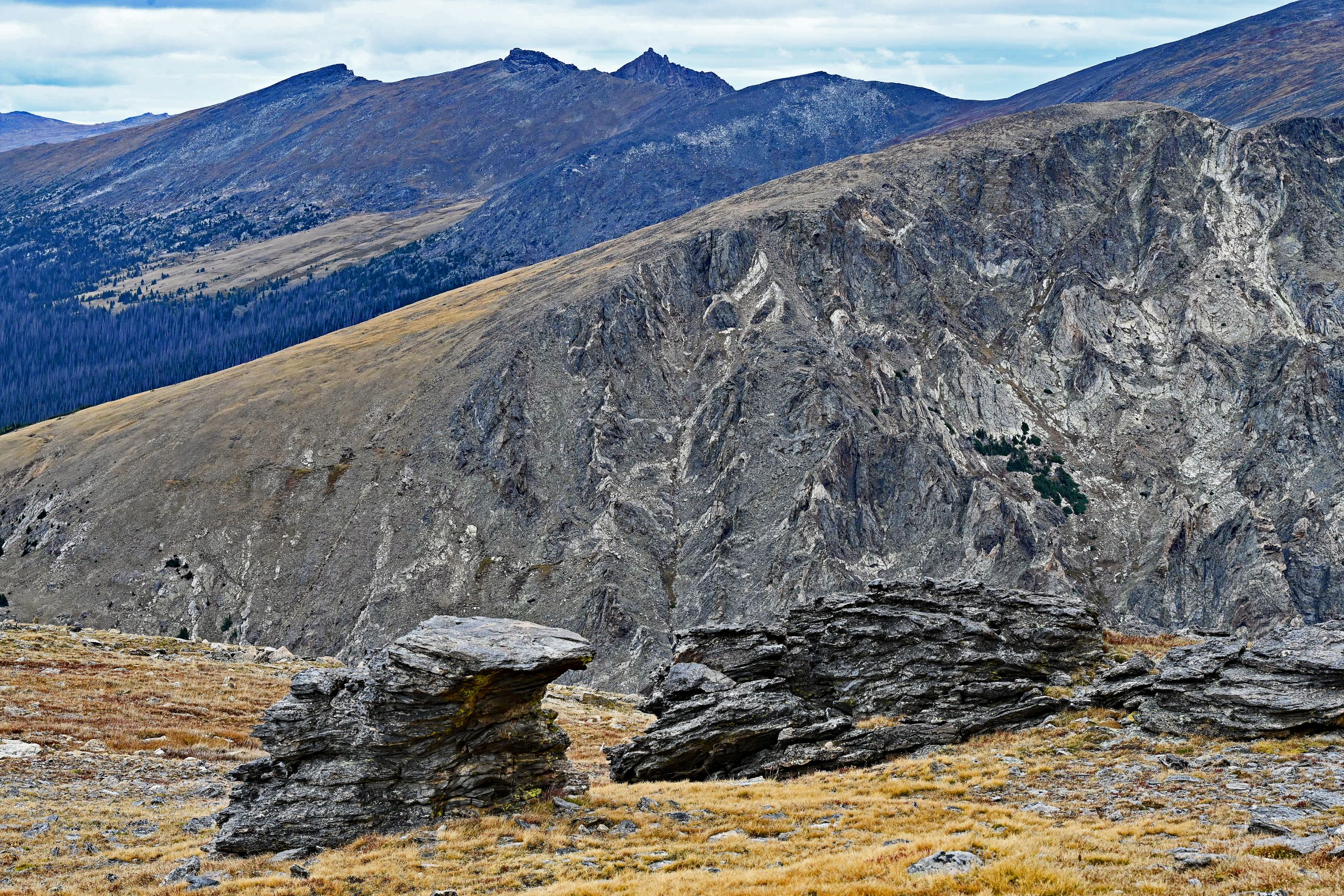
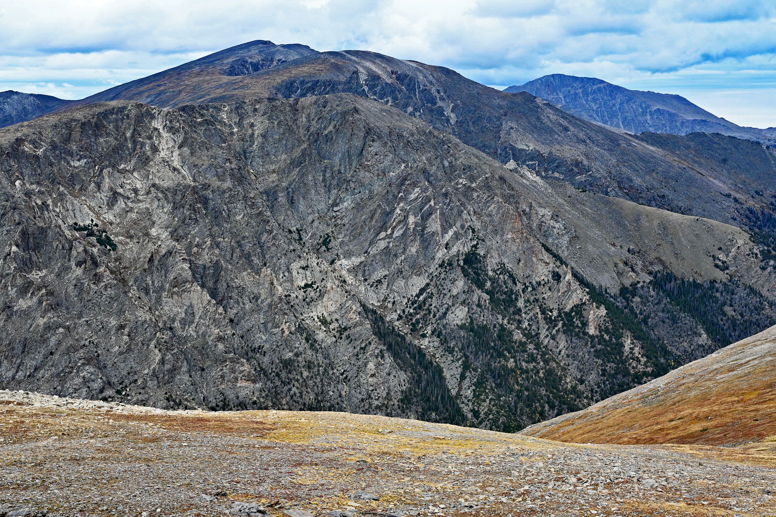
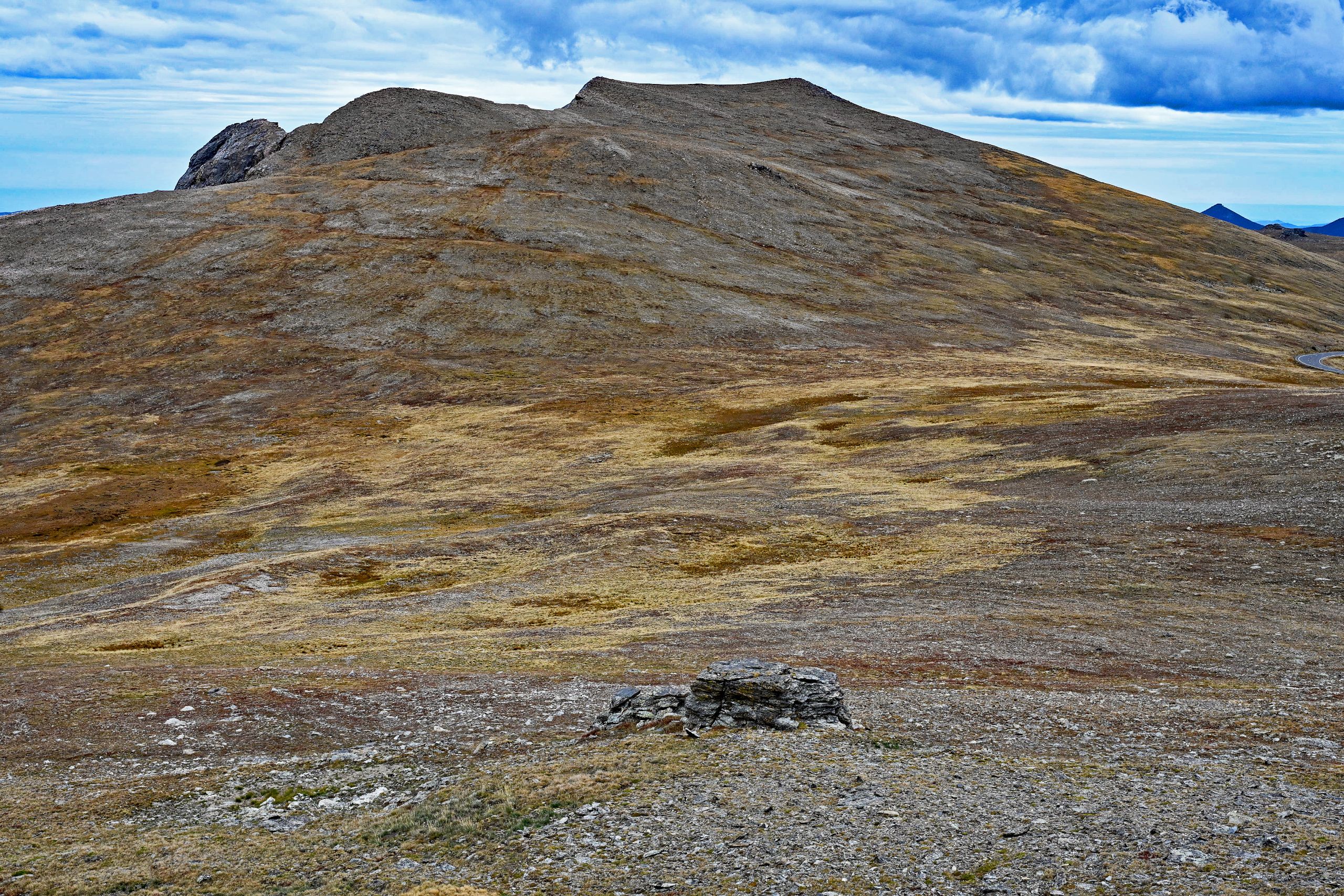
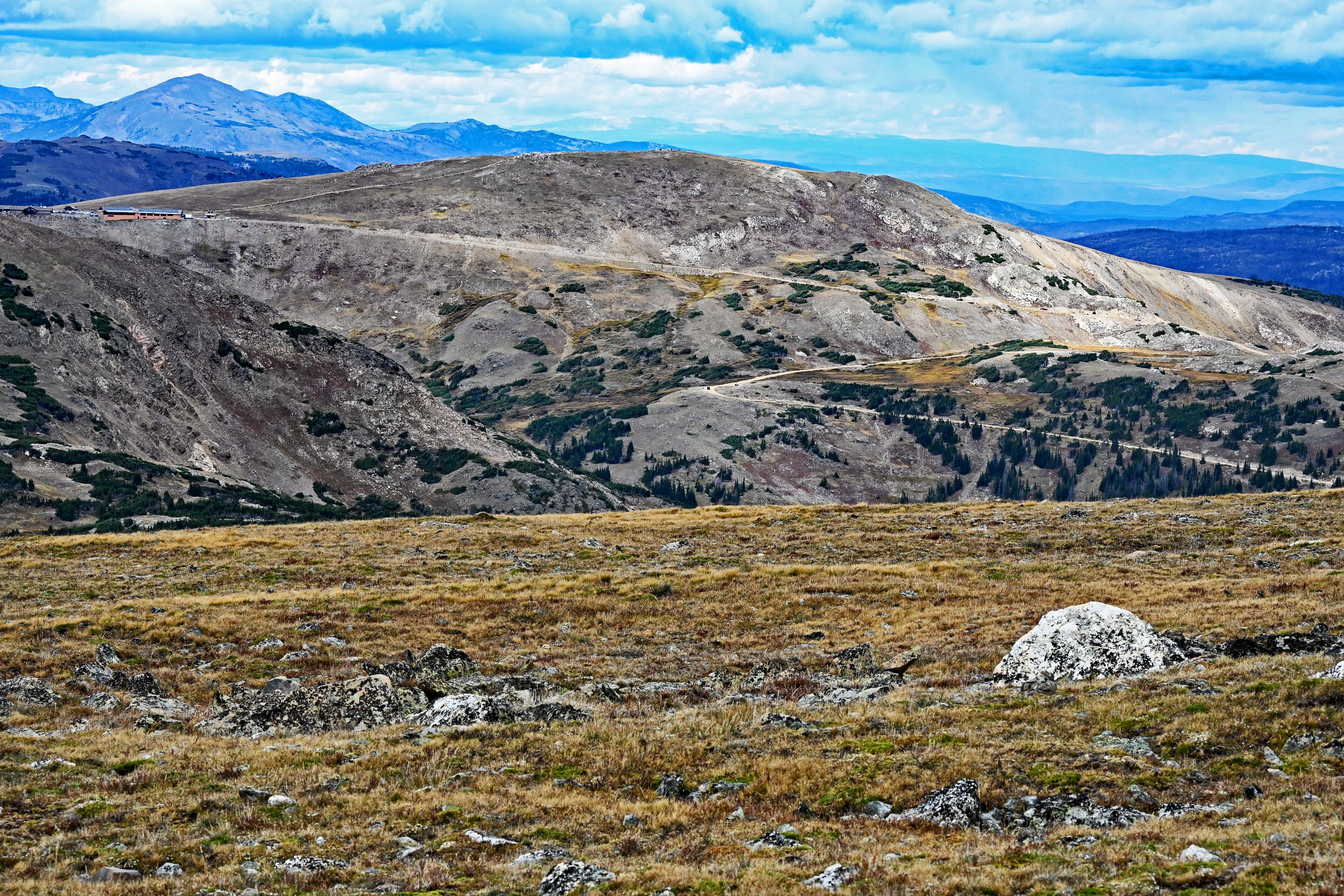
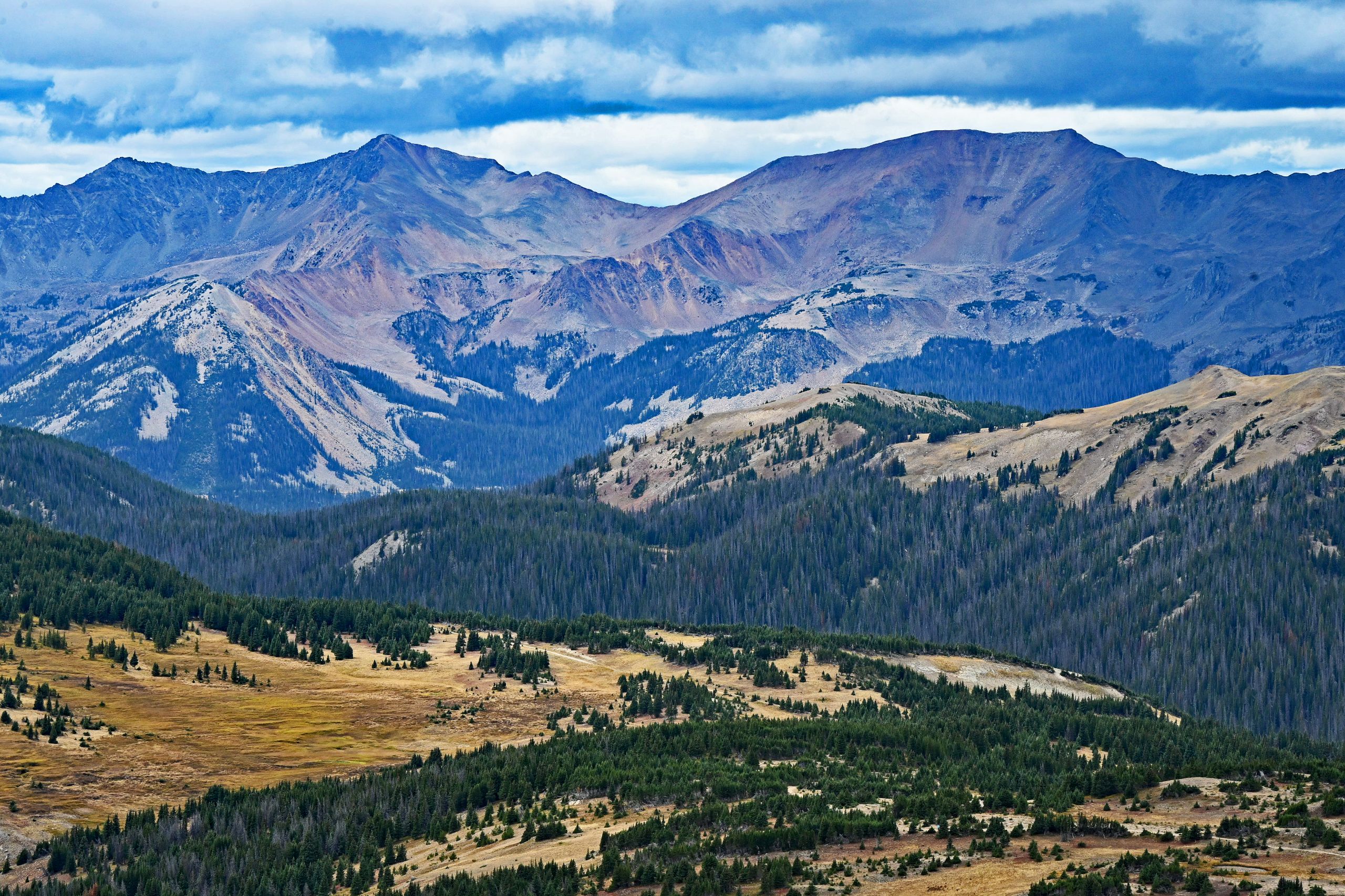
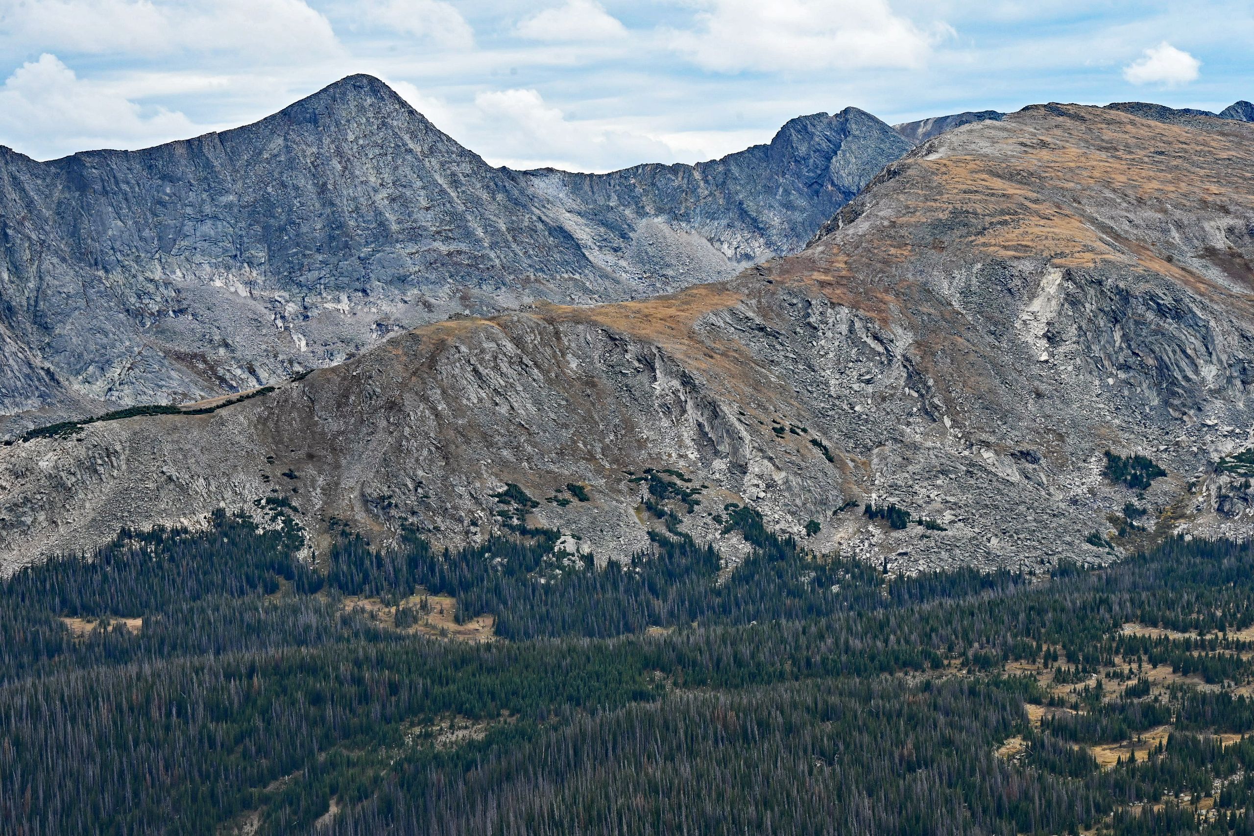
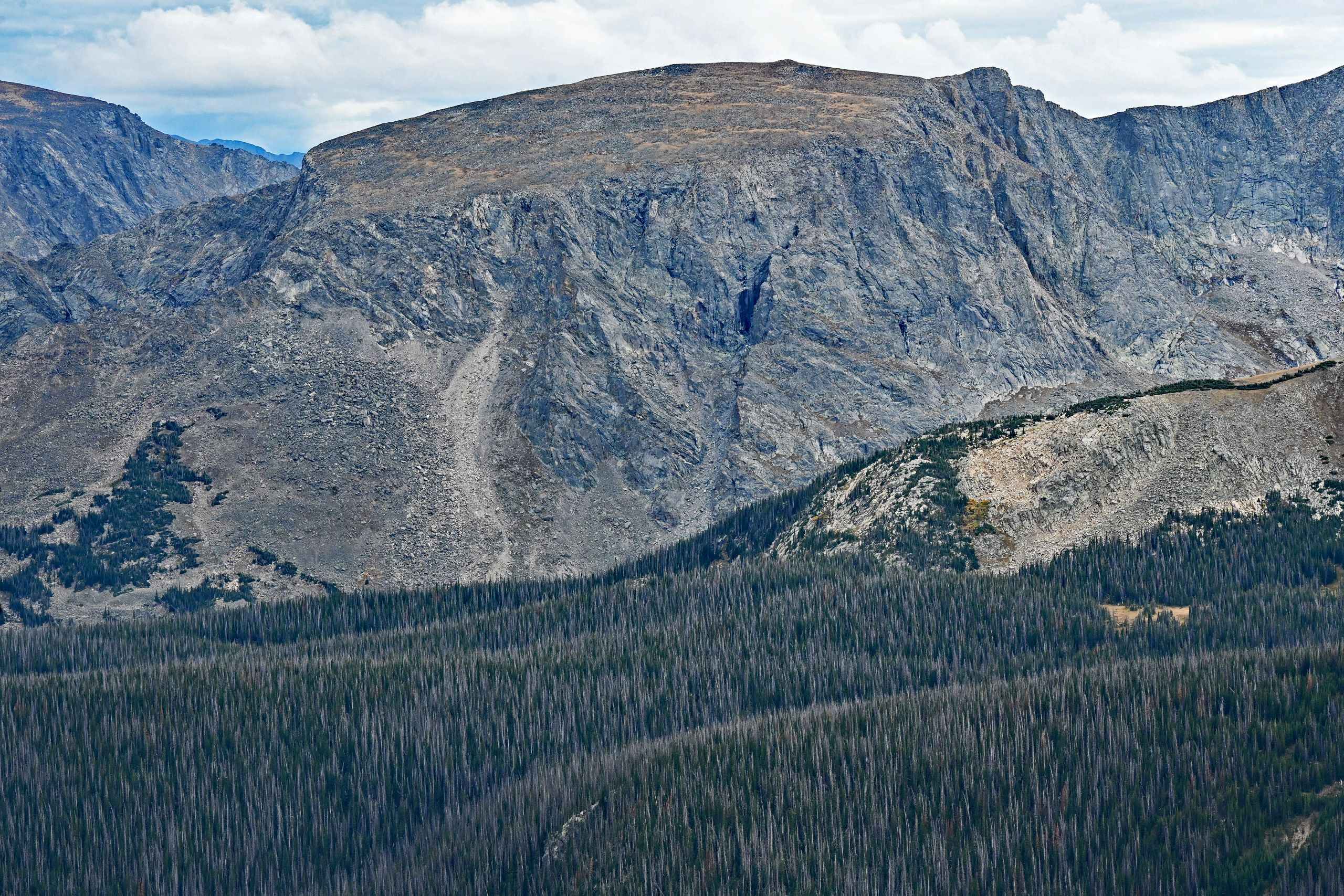
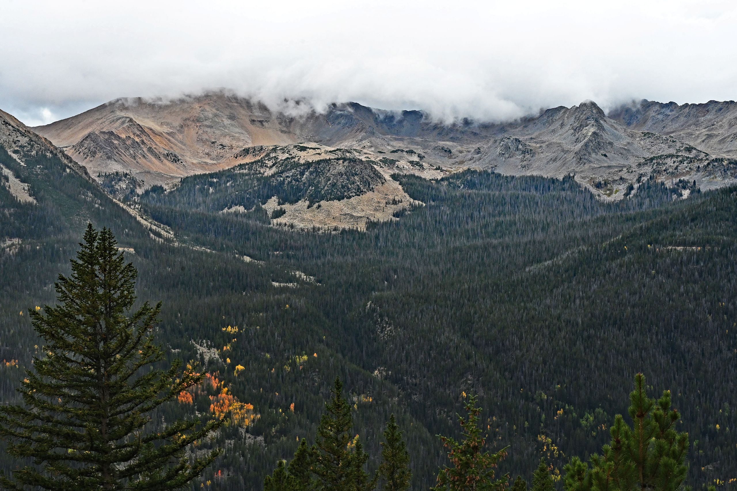
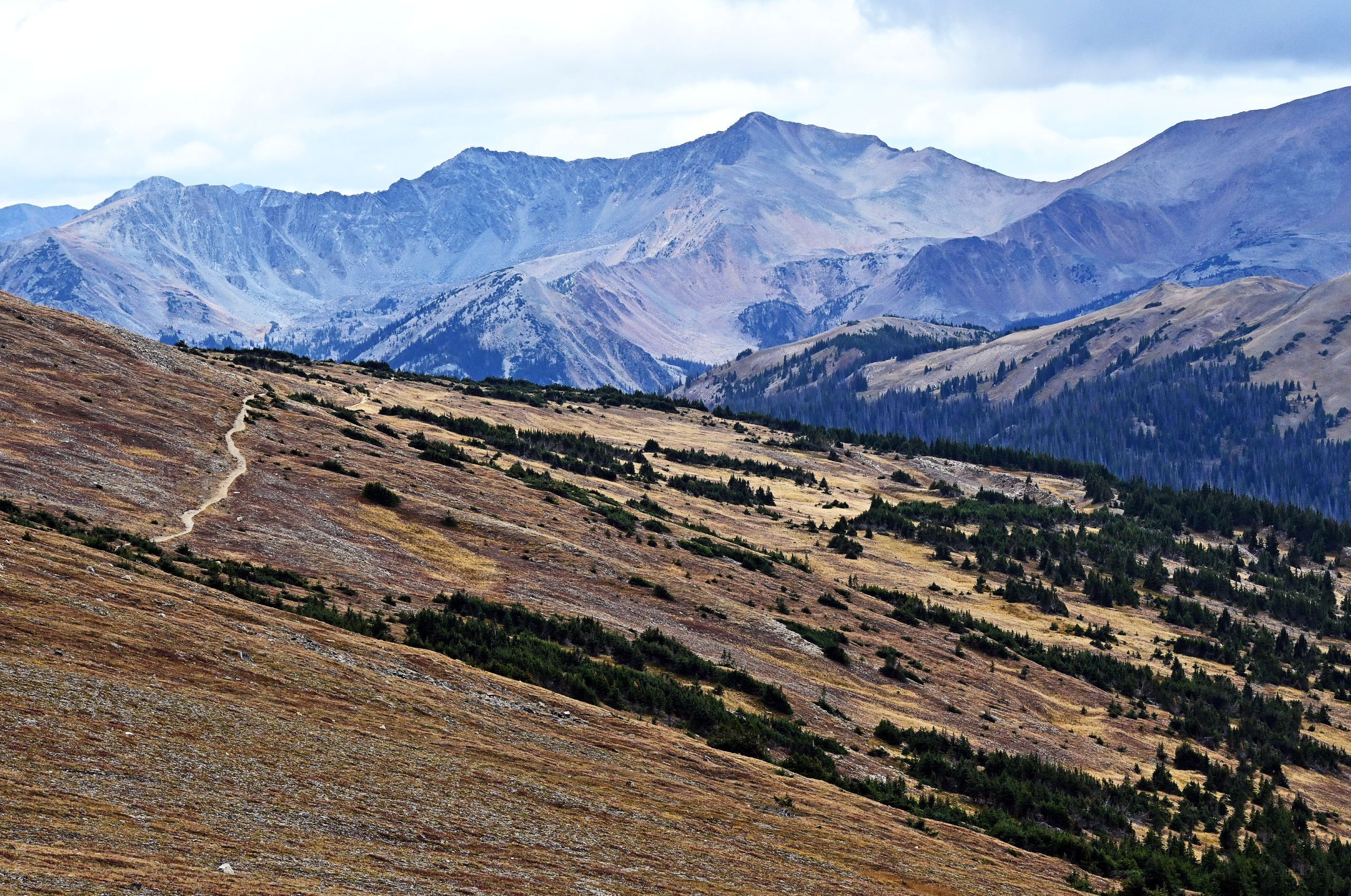
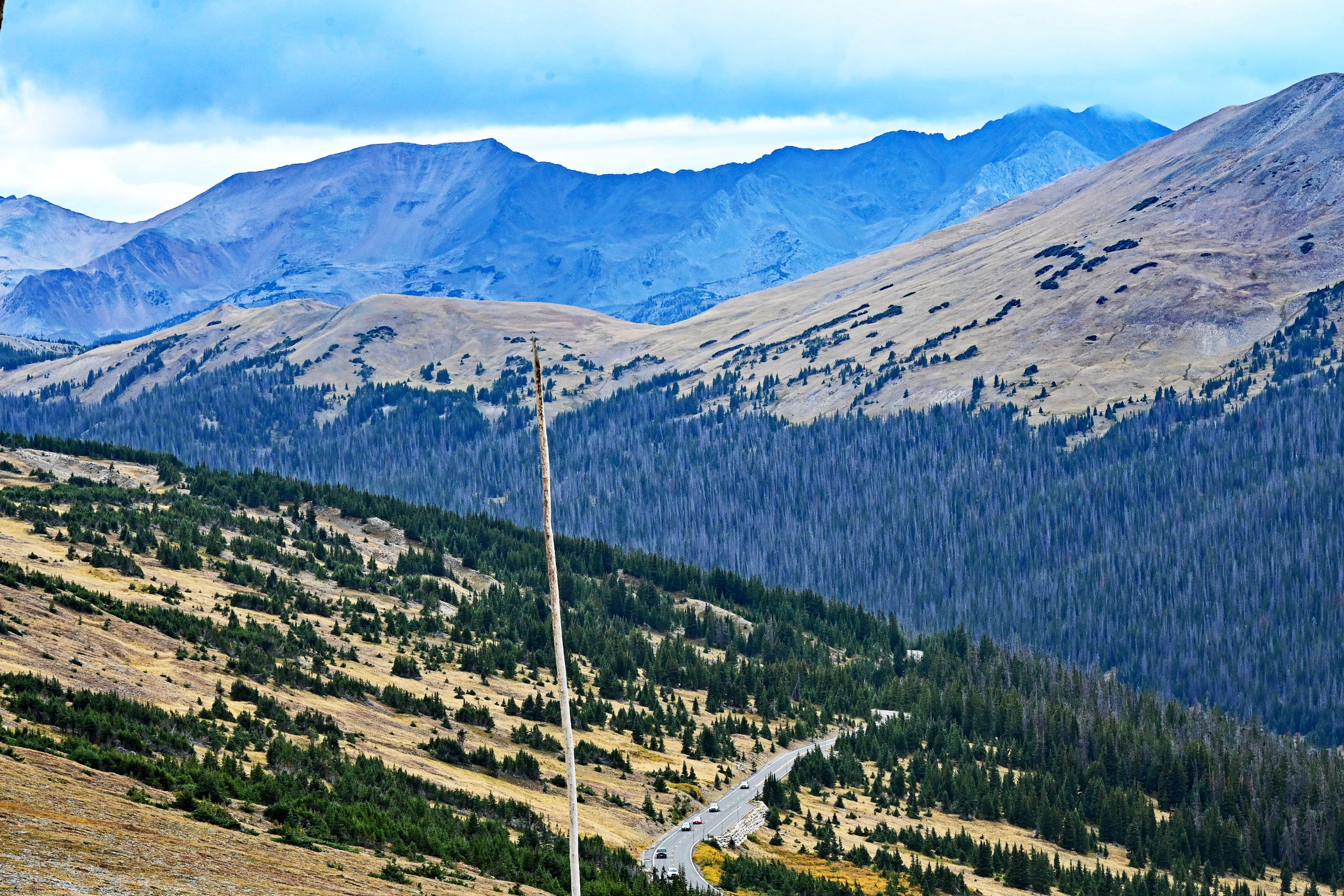
Back in the car, we resume our drive and head for Gore Range Overlook. Here, at the exposed edge of the cliffs at well over 12,000 feet, an ice-cold, raw wind whips against us. But the view makes up for everything: the gaze sweeps far to the west over the deeply carved Kawuneeche Valley. The interplay of light and shadow cast by the autumnal cloud cover onto the barren ridges lends the scenery a dramatic, almost epic depth, while we also have a perfect view of the switchbacks of the pass road below.
Gallery VI: Expansive Views at Gore Range Overlook
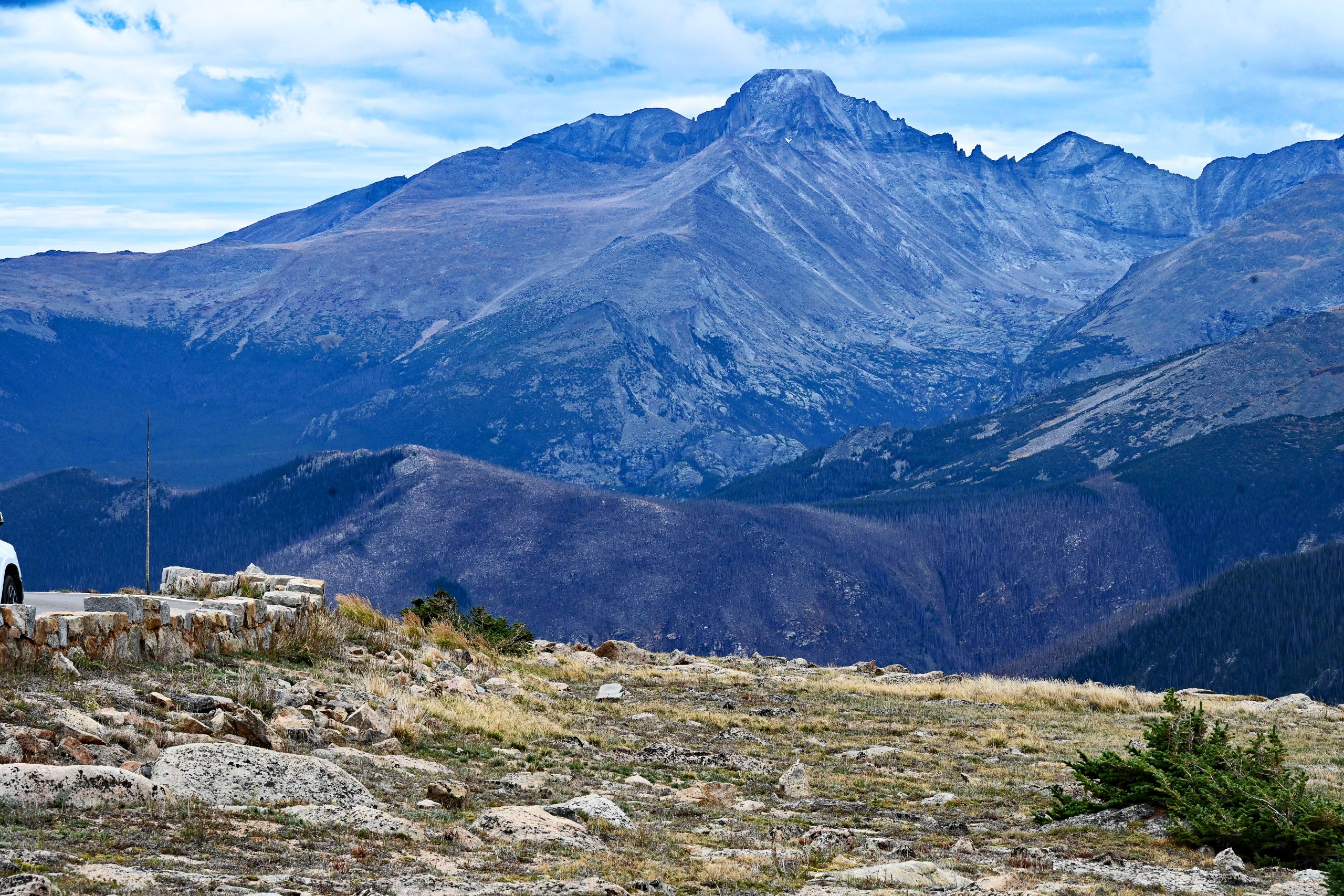
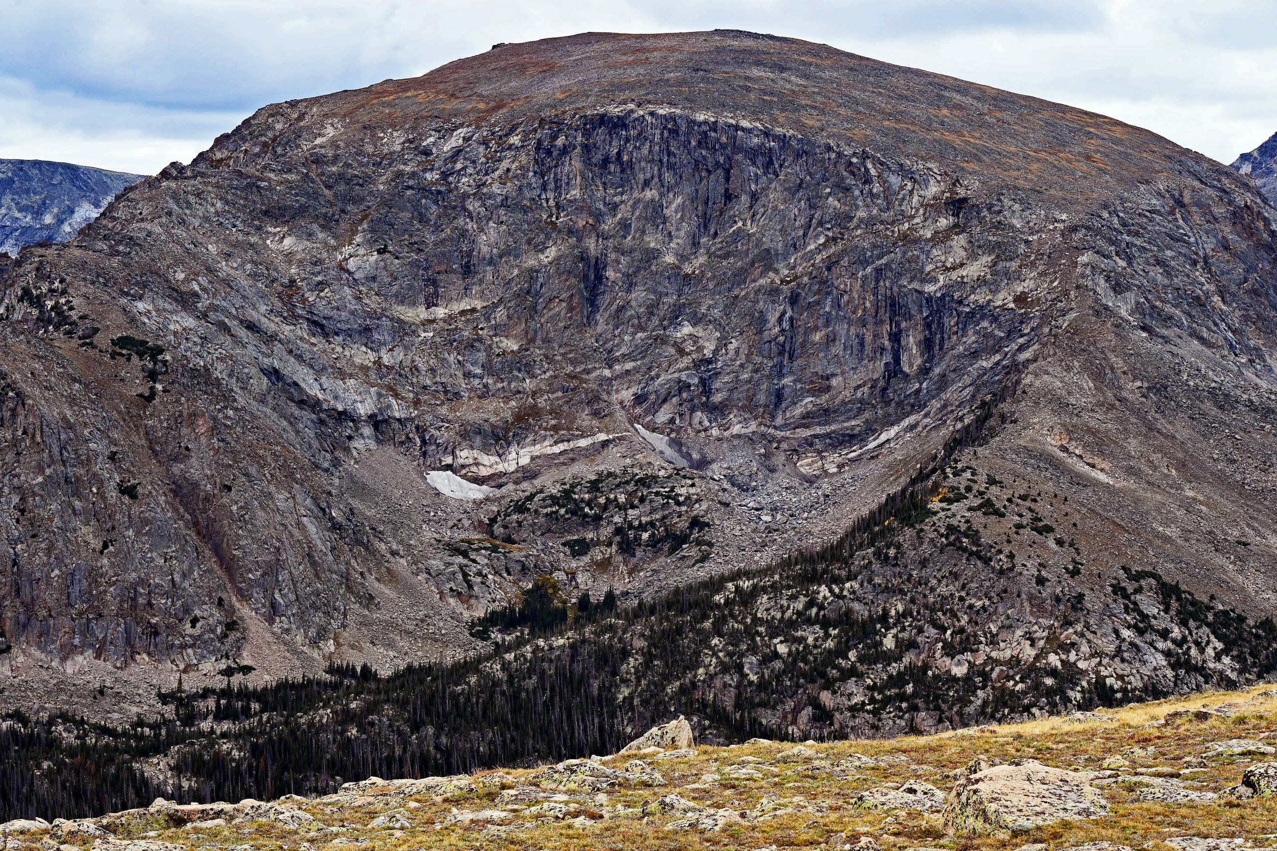
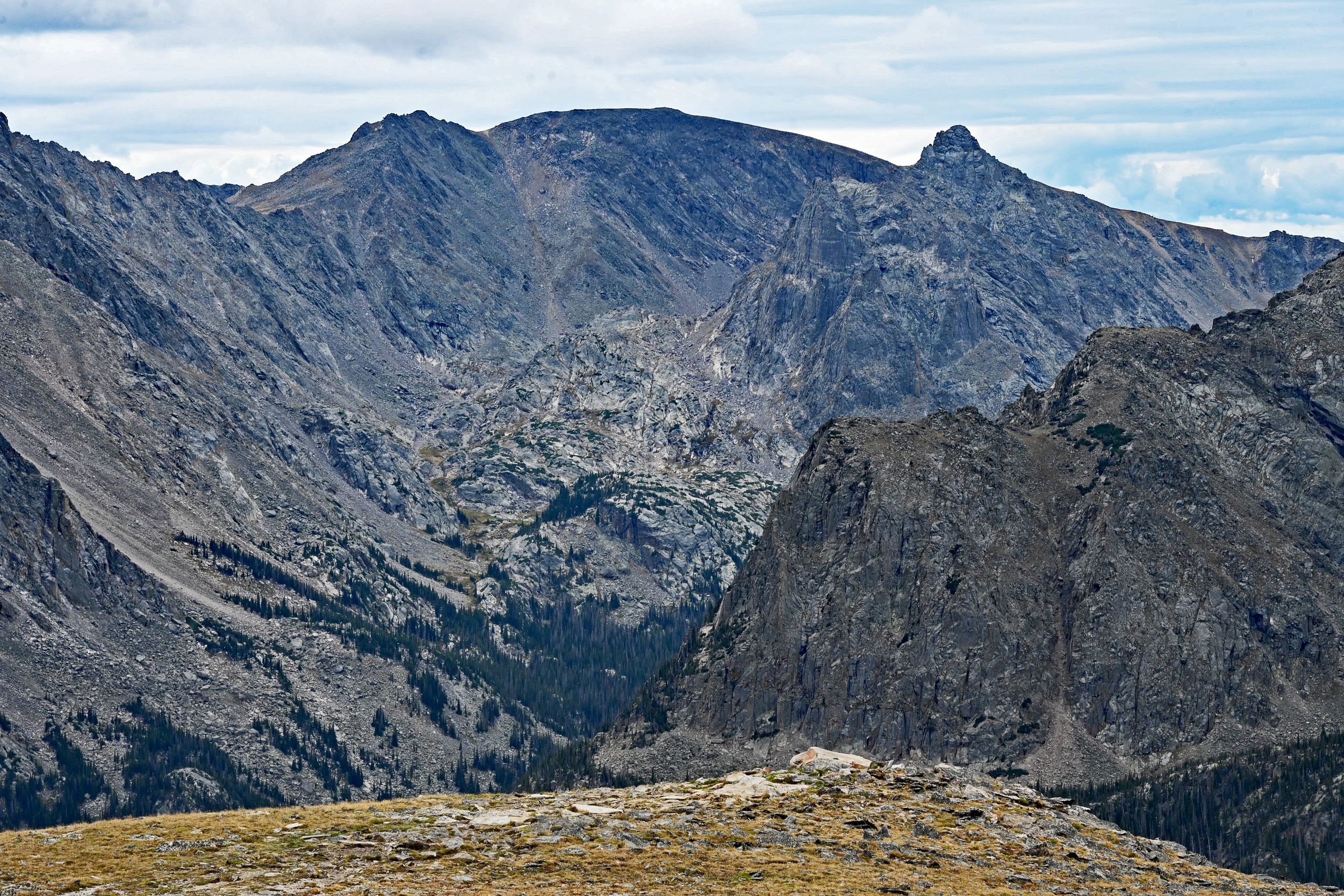
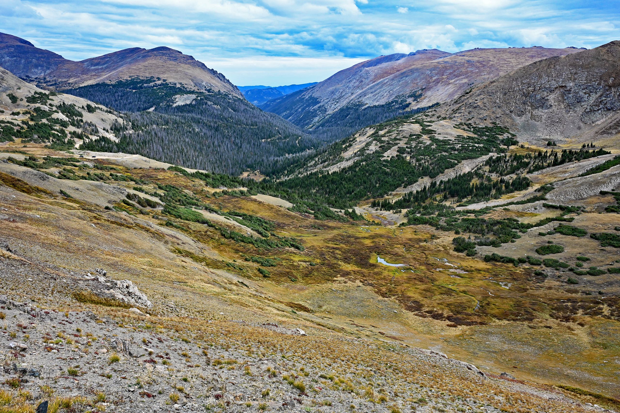
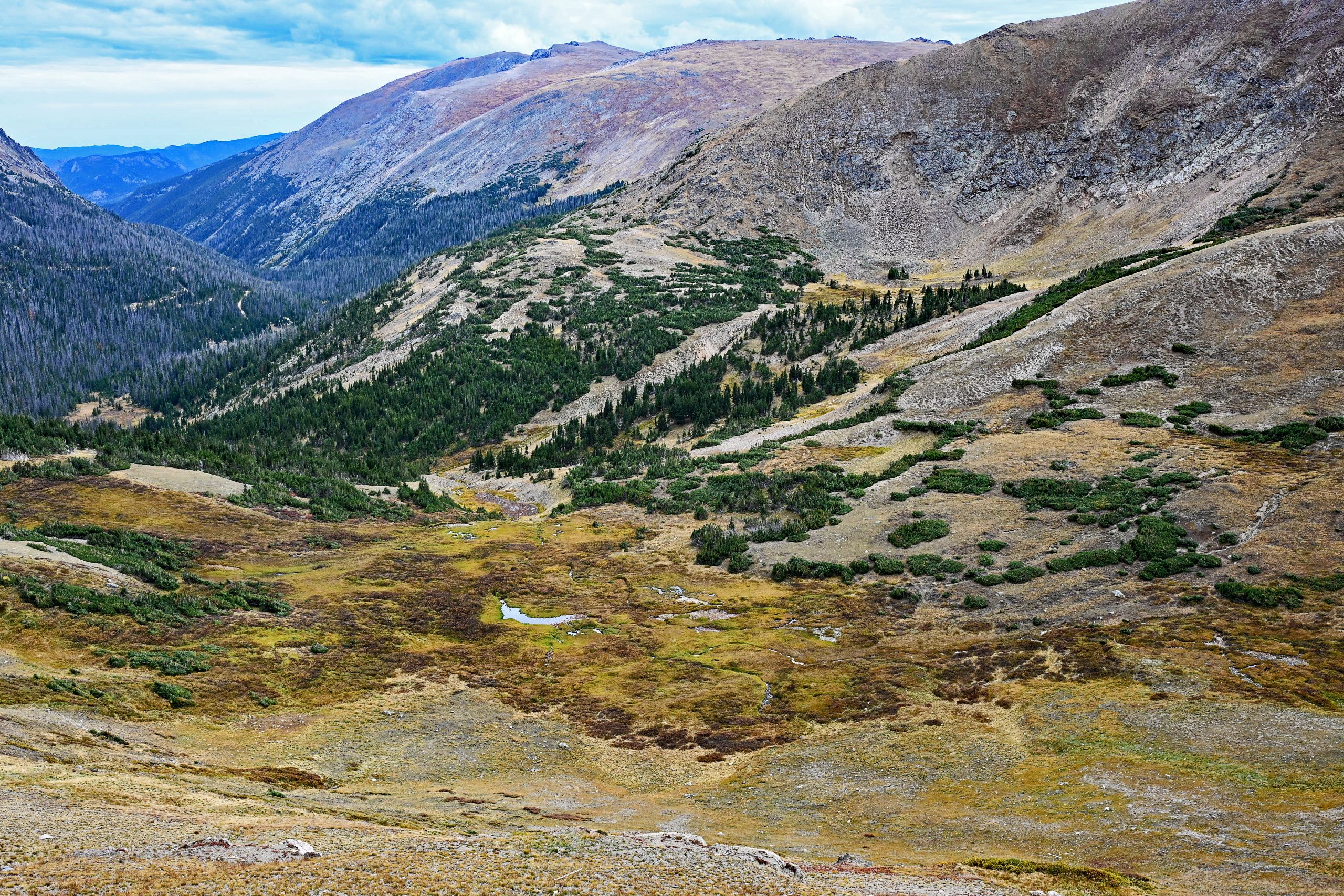
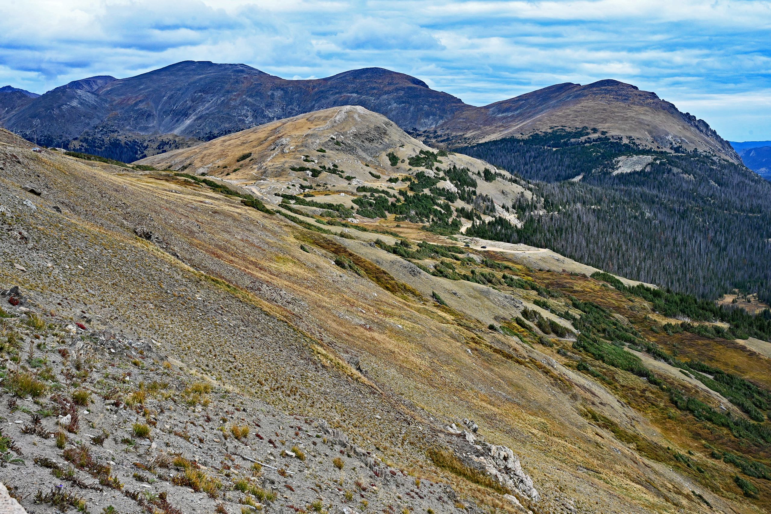
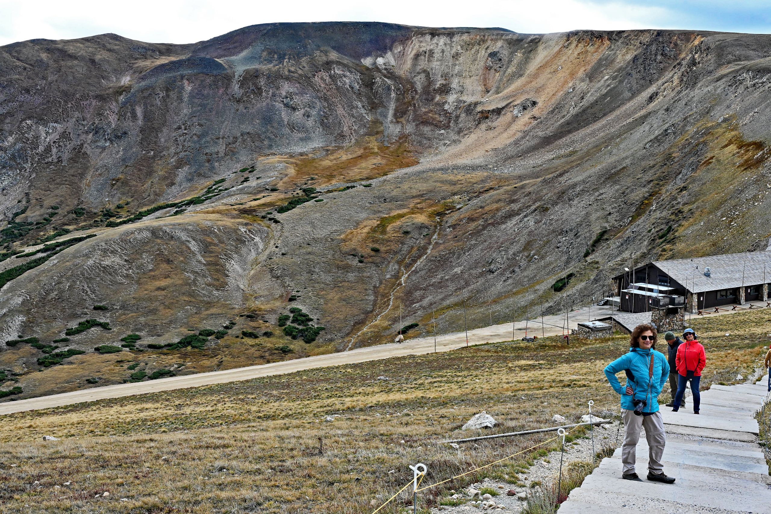
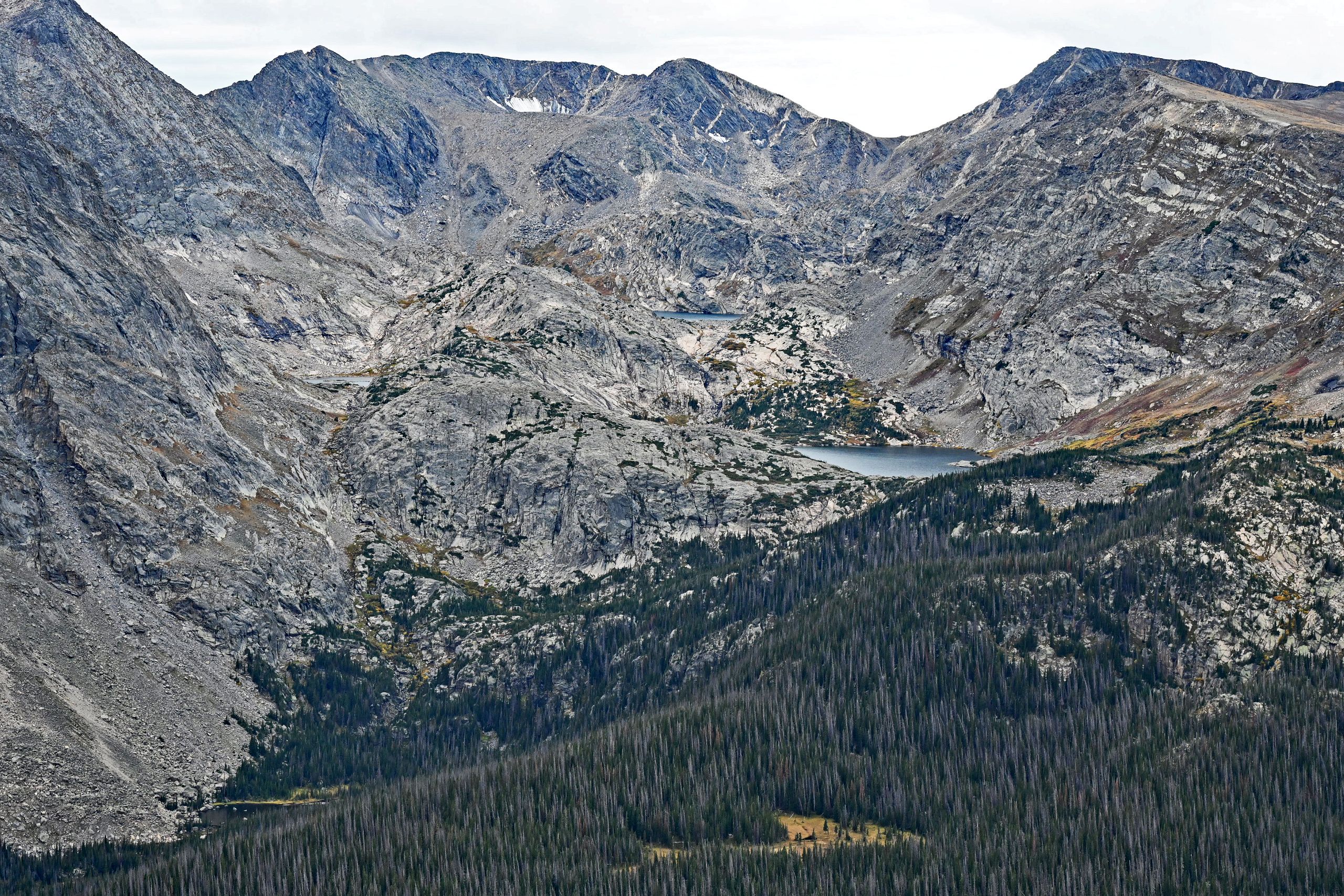
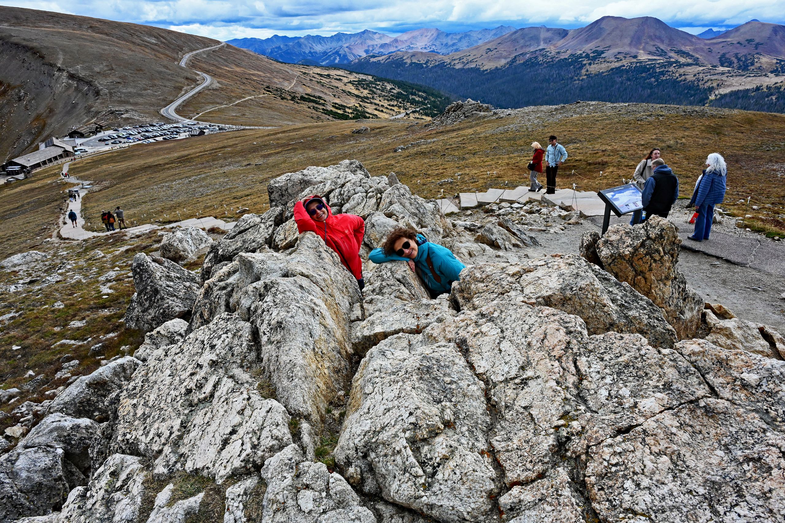
At last, we reach the Alpine Visitor Center, the bustling hub of the pass road. Exactly here begins our second athletic highlight of the day: the Alpine Ridge Trail. Step by step, we fight our way up the paved stairway on the slope of Huffers Hill. The air is noticeably thin, every step requires conscious effort, but the path up is lined with sublime vistas. We pause, look back, and discover the deep blue Gorge Lakes sitting in the shadows far below us. These hidden glacial lakes look like sparkling sapphires tucked into the gray rock basins below Chief Cheley Peak. The tight, unpaved switchbacks of the historic Old Fall River Road also trace themselves deep in the forested valley, while clouds gather ominously above us at Mount Chiquita. After the final steps, we have made it: we stand on the topmost viewing platform at a proud 12,005 feet! We feel like we are on the roof of the world. While the harsh alpine climate rules around us, Hania and Basia happily nestle into the rugged summit rocks right next to the platform – a perfect, emotional grand finale for our peak climb.
Gallery VII: Storming the Peak on the Alpine Ridge Trail
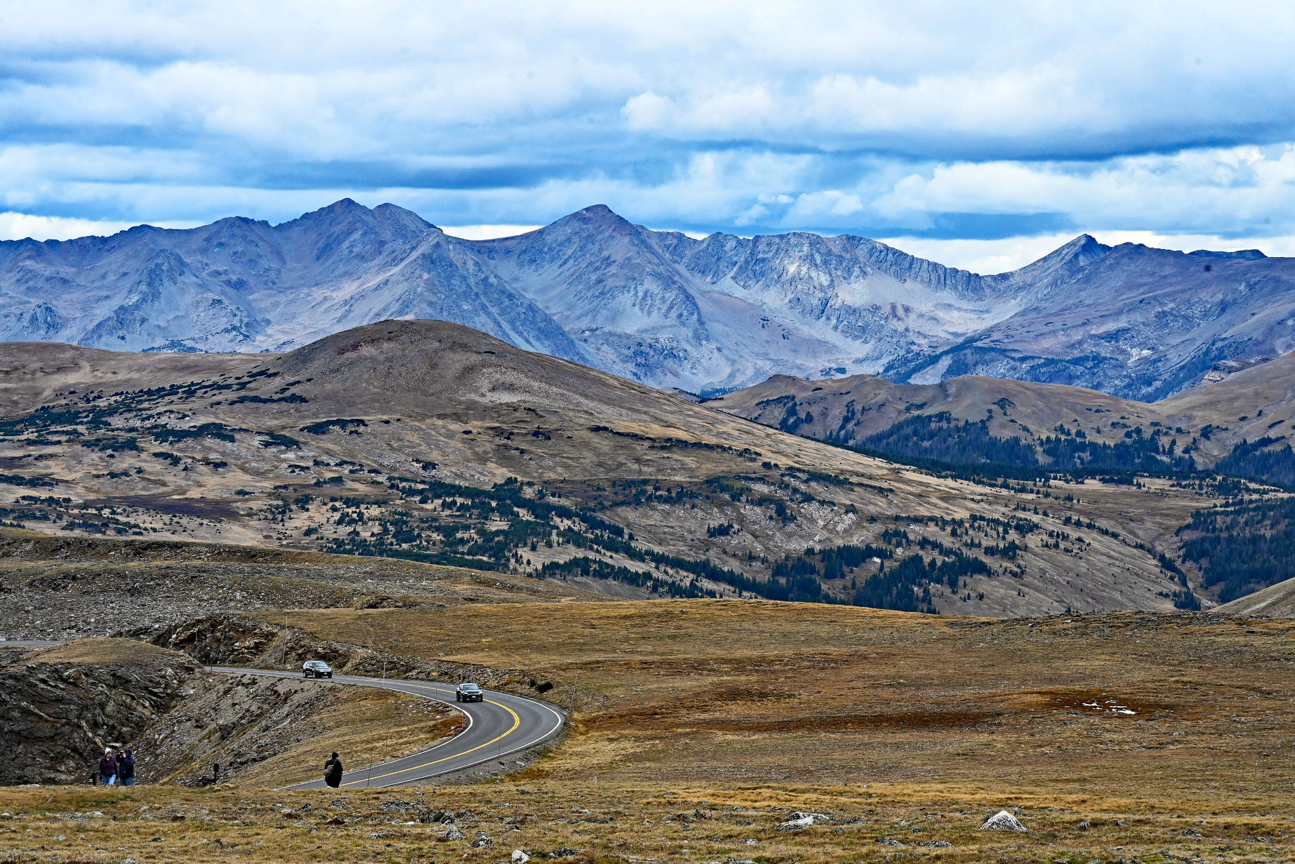
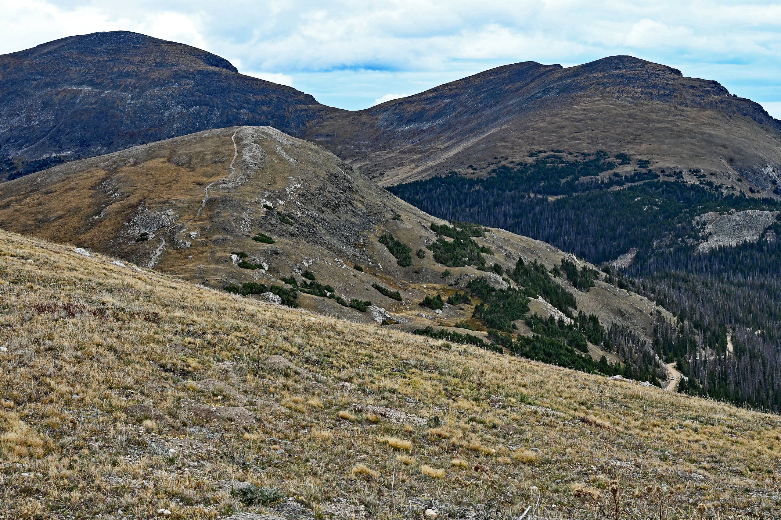
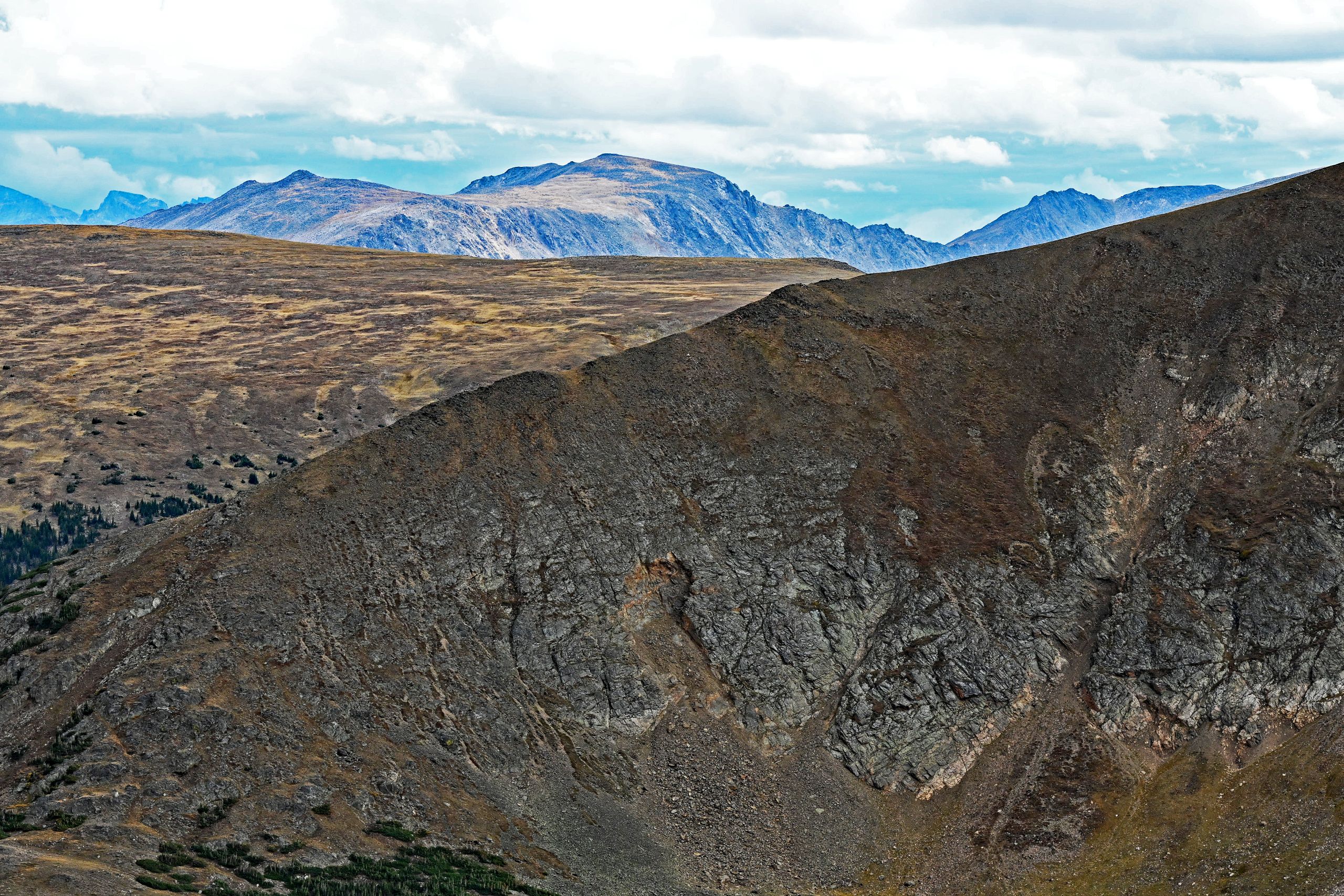
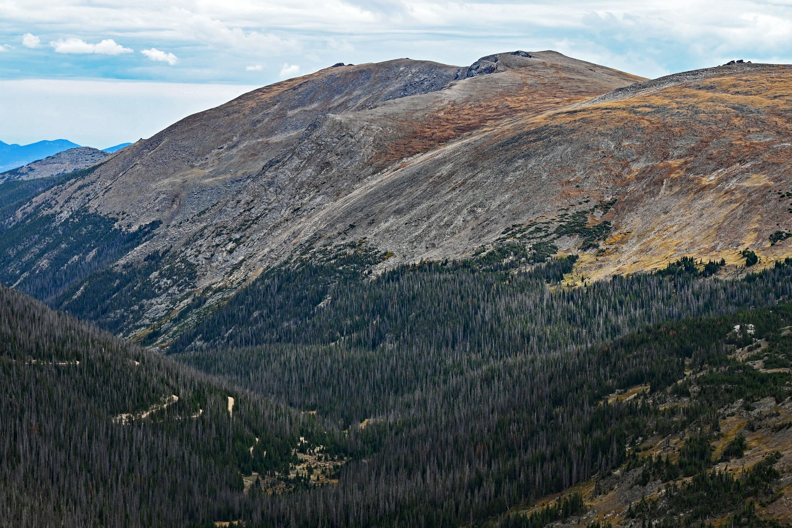
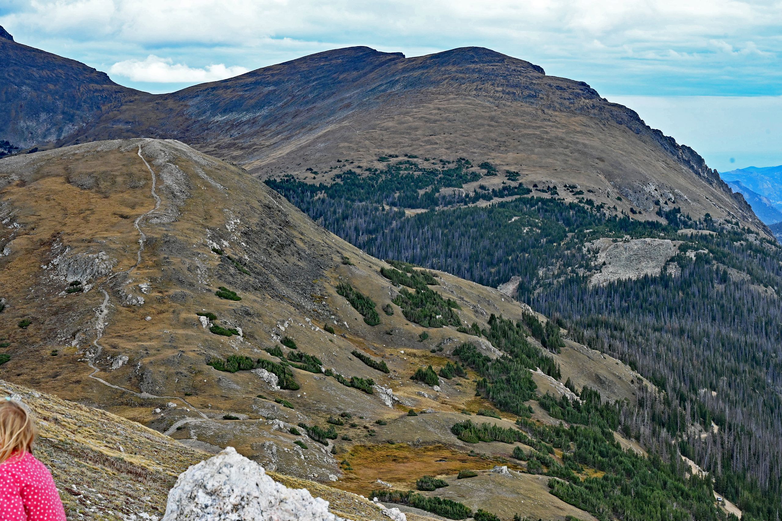
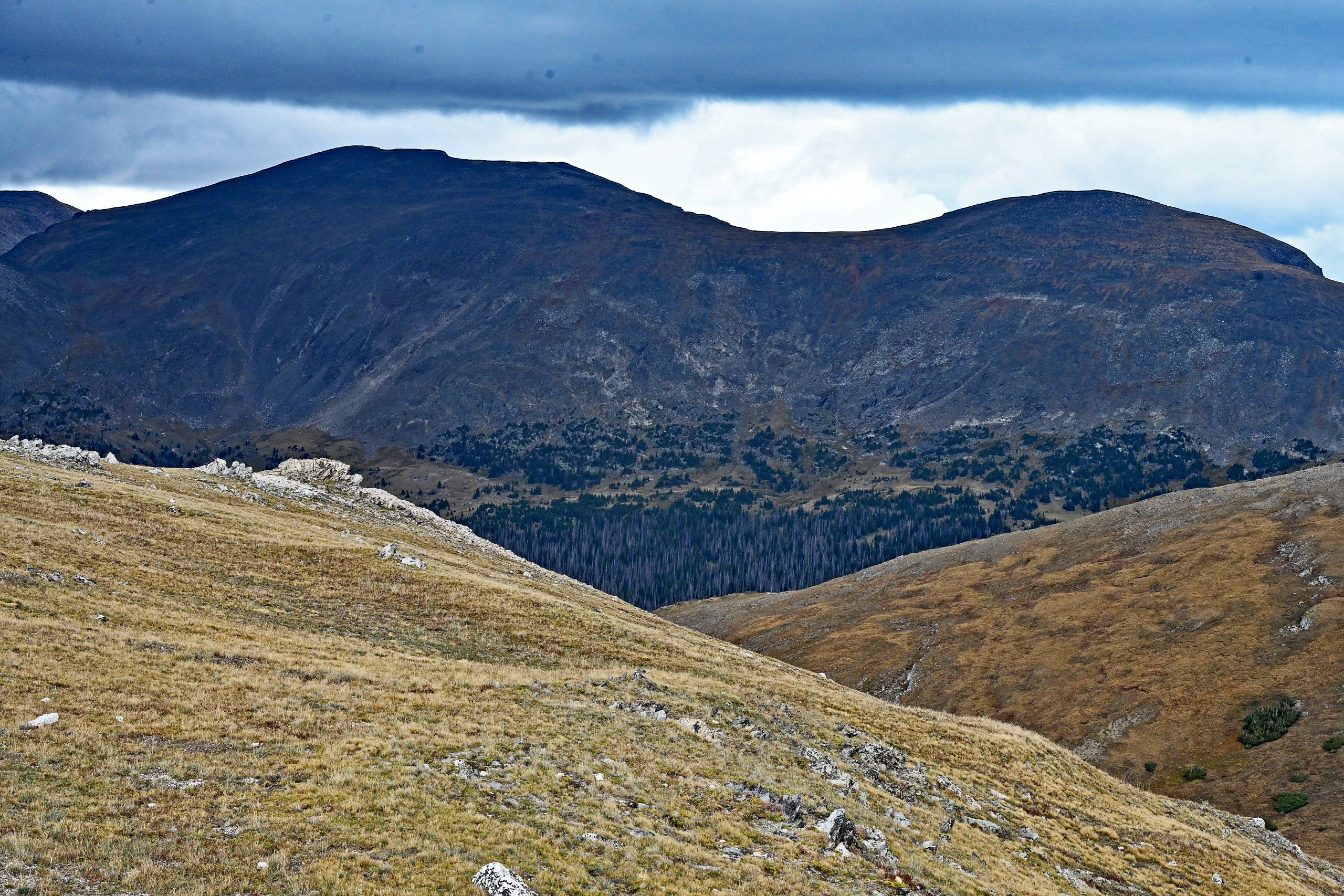
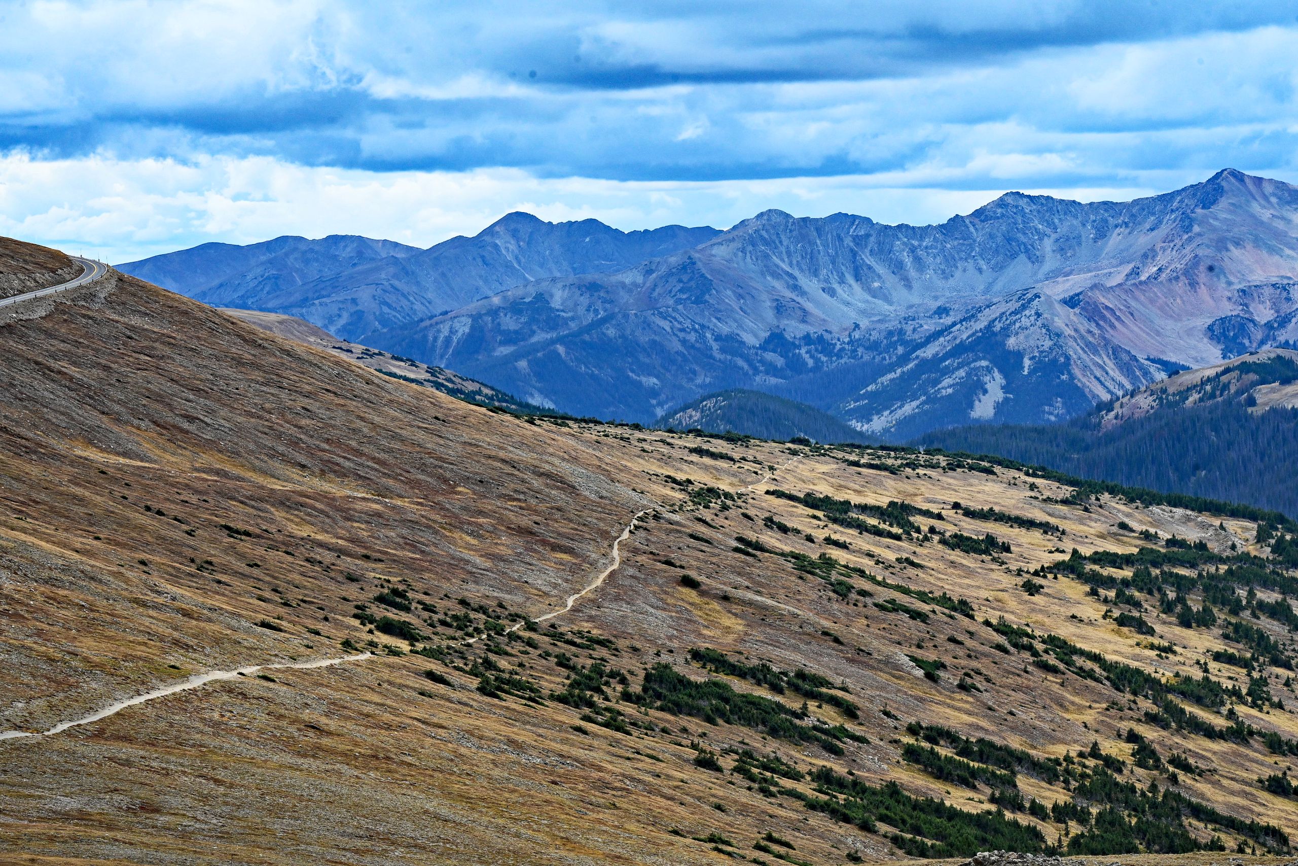
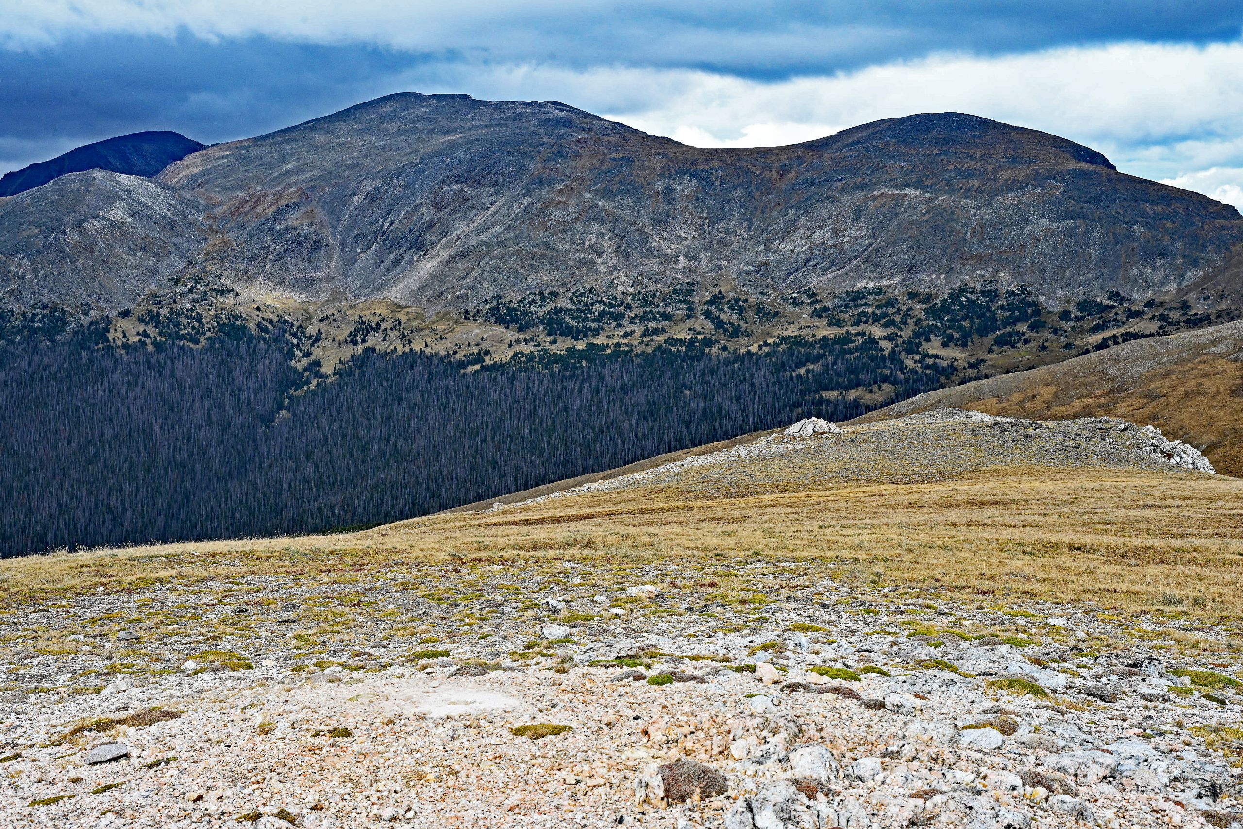
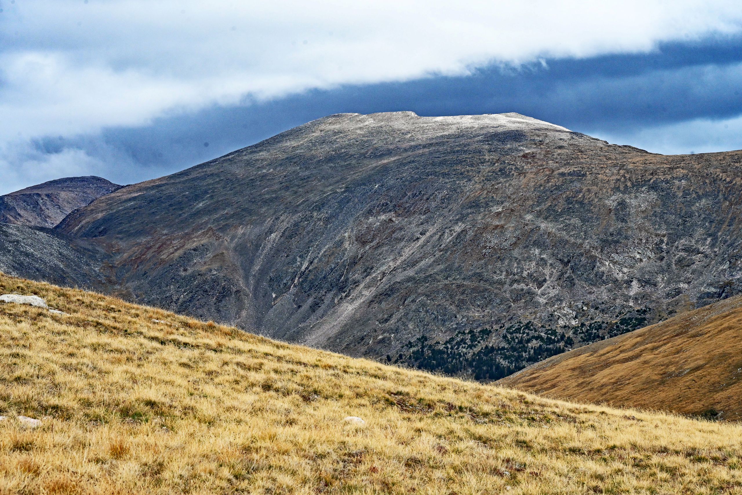
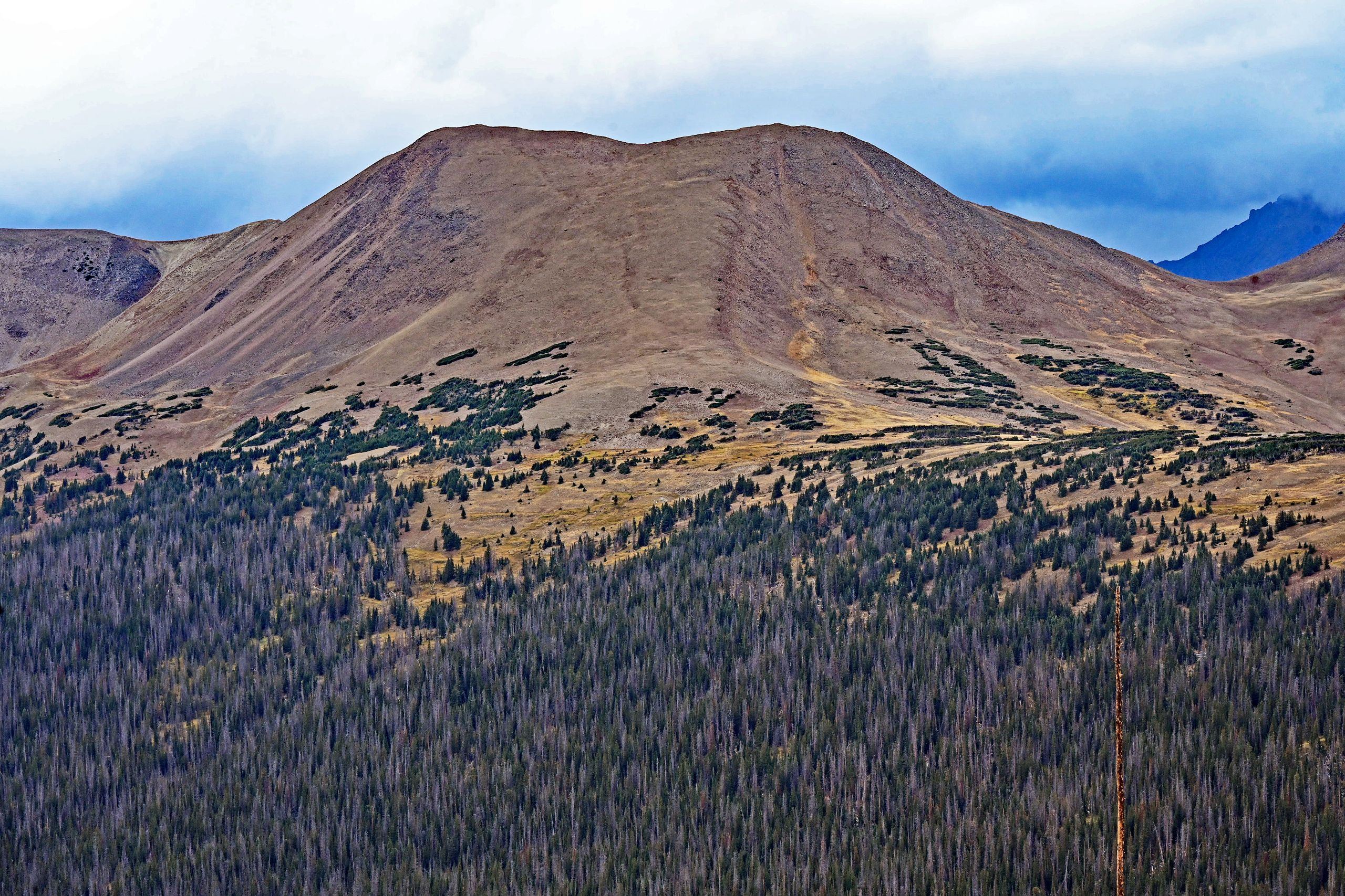
Following the wind-swept summit experience, we get back into the car. It is time to leave the pass height behind for good and begin the long journey down to the west side of Trail Ridge Road. Gravity gently pulls us downward, and a completely new landscape character opens up through the windshield. Ahead of us spreads a seemingly endless sea of dense pine forests extending through the upper Kawuneeche Valley area. The rugged, gray rock walls gradually give way to gentler, more heavily wooded forms. Yet, before we reach the forest completely, an old acquaintance dominates our field of vision: Specimen Mountain. From close up, we view the wide, brown-reddish slopes of this extinct volcanic complex. It is fascinating to watch how we draw closer to the tree line with every lost foot of elevation – the trees reshape themselves from isolated krummholz islands back into closed, deep green canopies. Along the roadside, giant wooden snow poles tower up, silently reminding us of the massive amounts of snow that make this pass impassable in winter.
Gallery VIII: The Descent Along Specimen Mountain
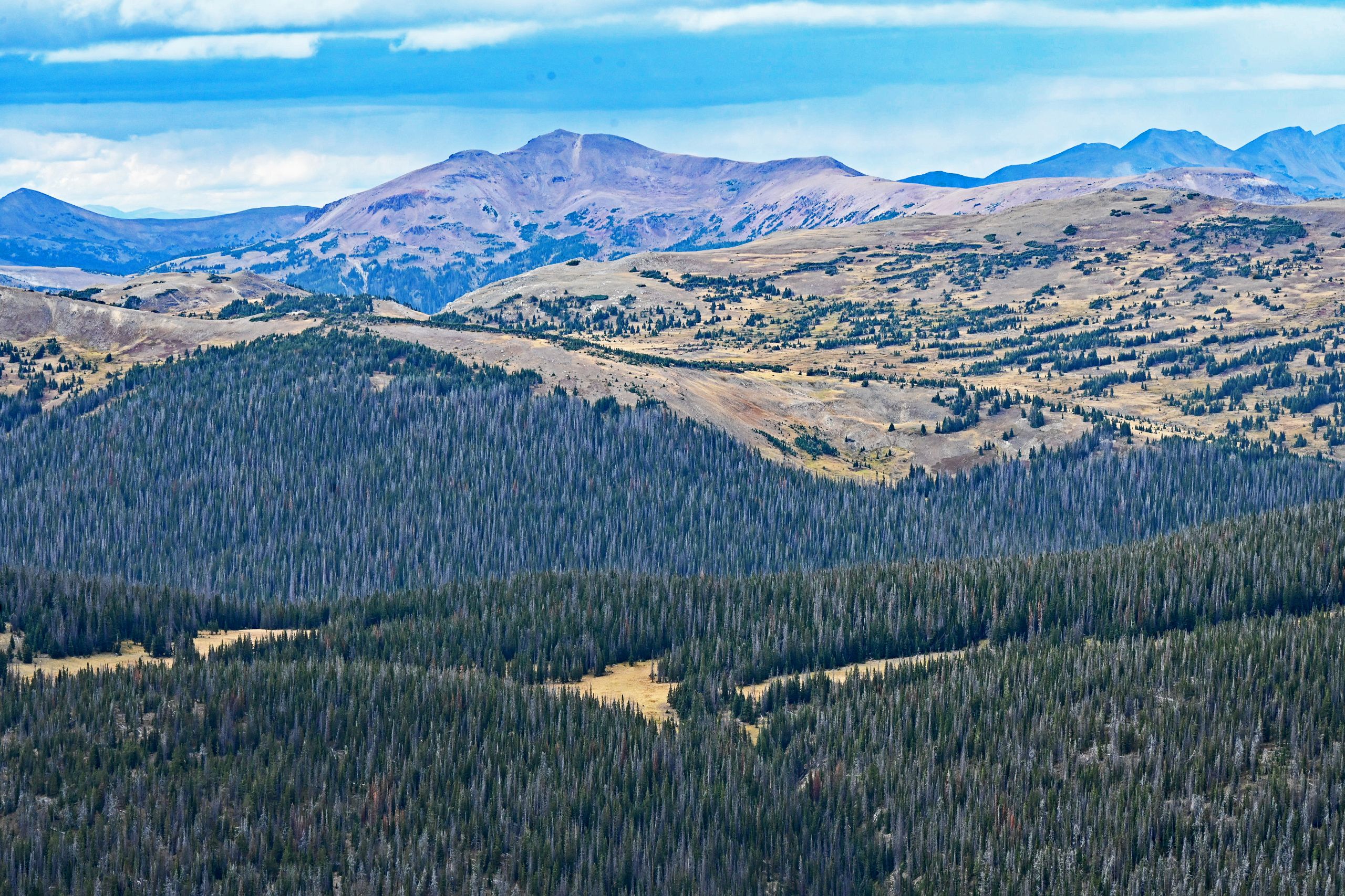
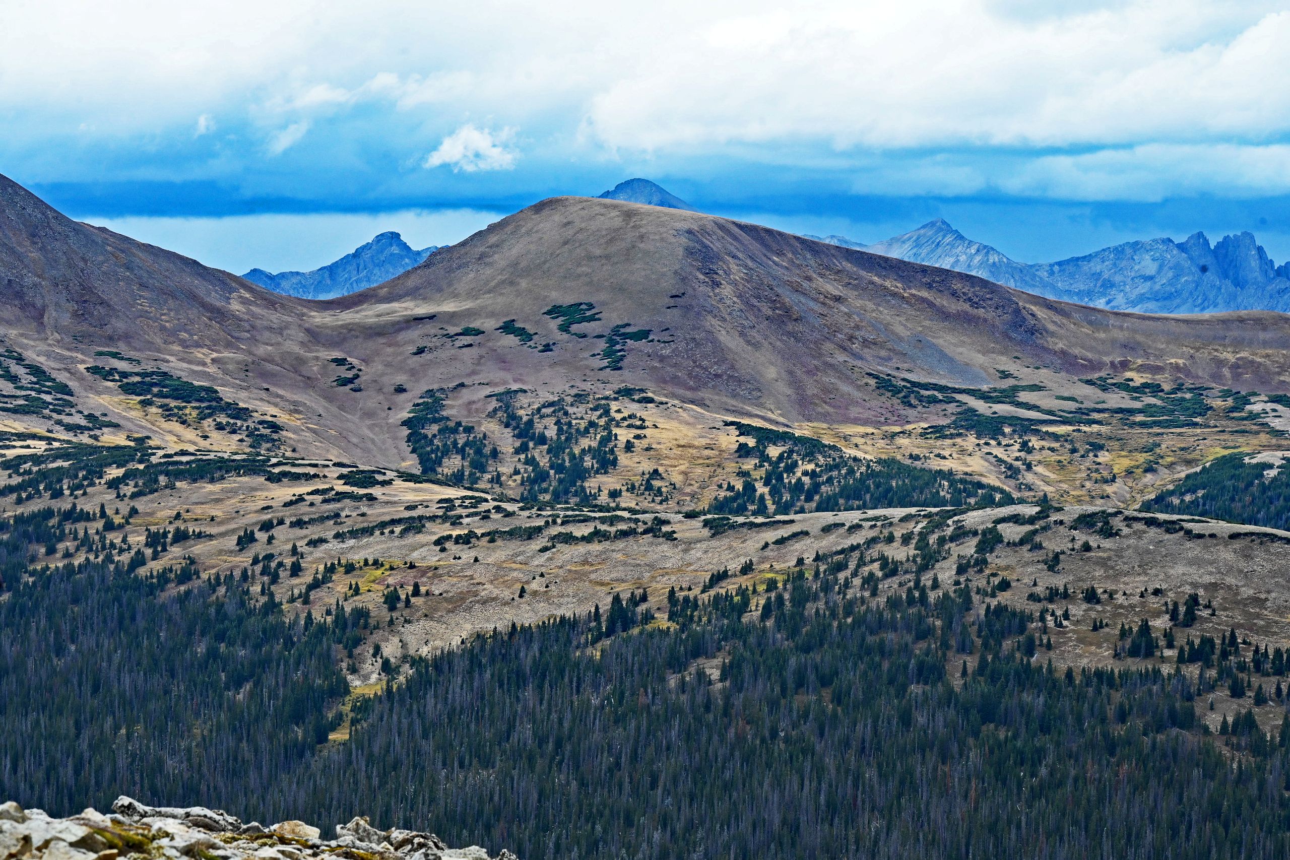
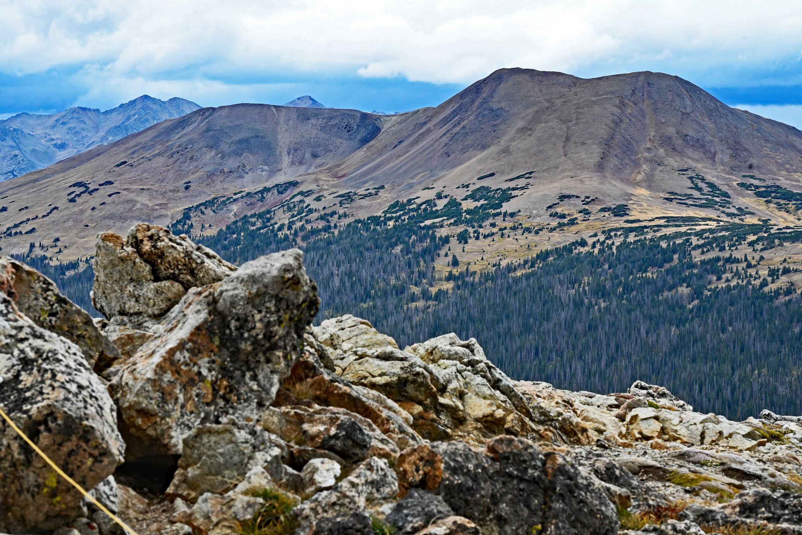
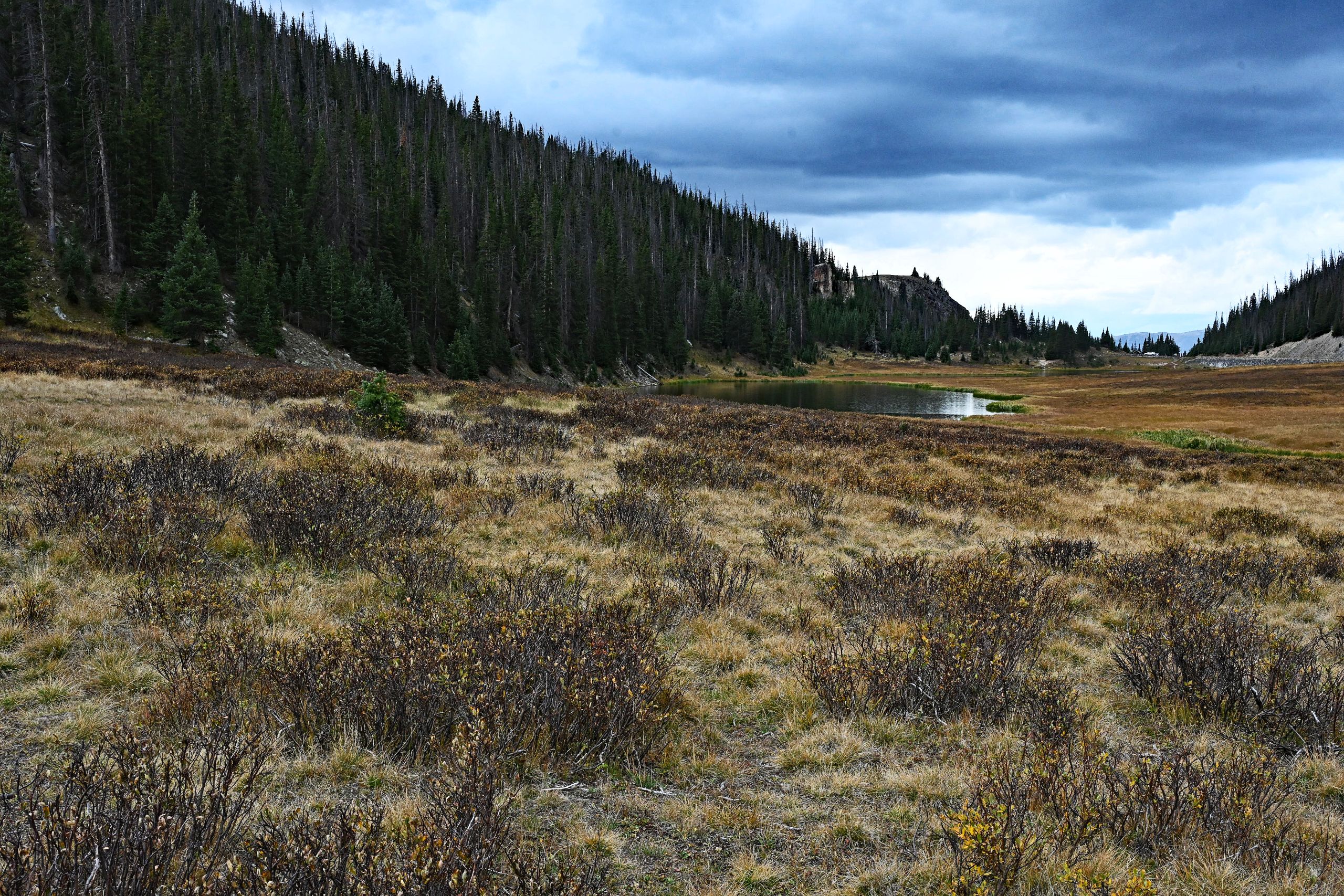
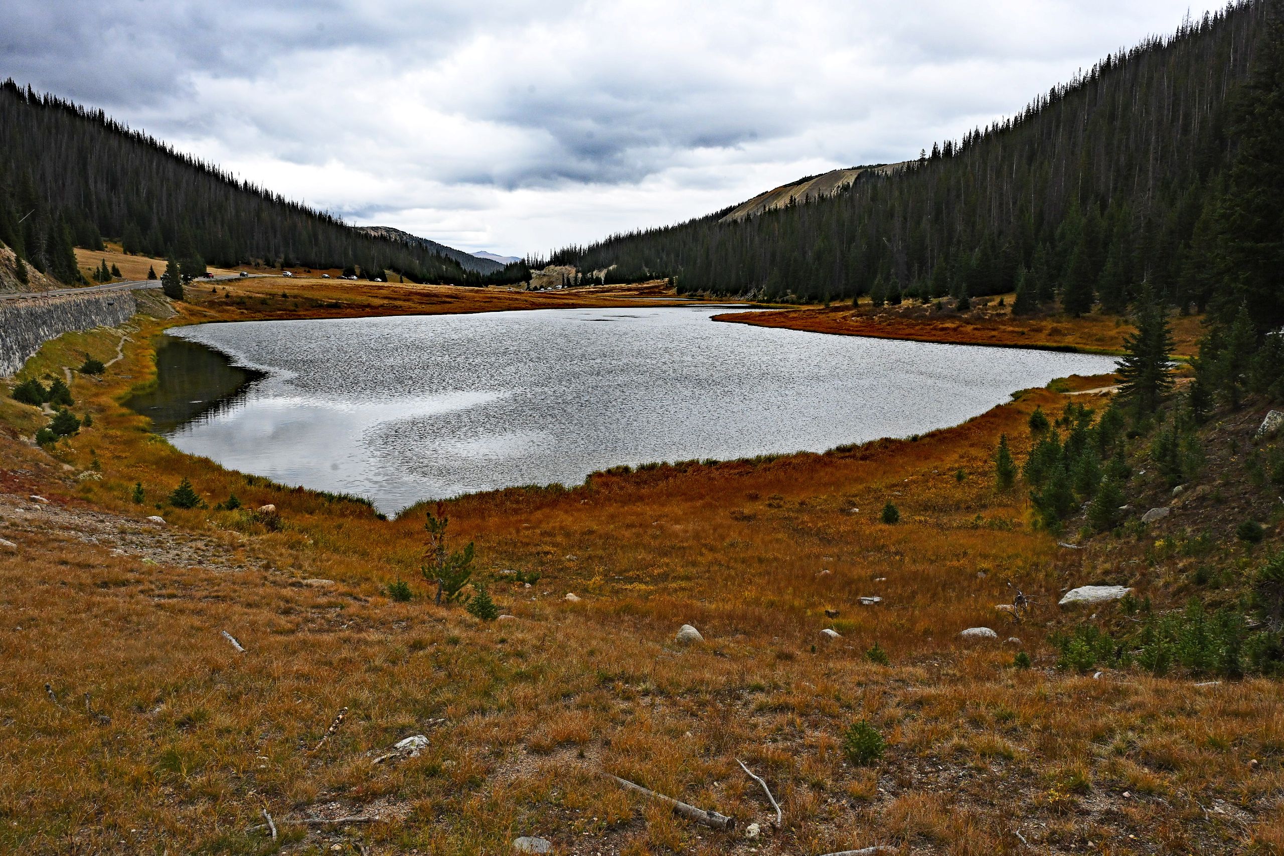
Finally, the road flattens out, and we have reached the next major milestone: Milner Pass at an elevation of 10,758 feet. We park the car and step onto the shore of Poudre Lake. The lake lies mirror-smooth and peaceful within an autumn-gold marsh and meadow landscape, framed by steep, densely forested slopes. The water ripples slightly in the cool breeze. This spot demands a brief moment of pause, for we are standing exactly on the Continental Divide, the continental watershed of America. We look back at the stone retaining wall of Trail Ridge Road, which outlines itself far up on the mountainside. An uplifting feeling spreads: from this point forward, every stream we encounter flows in our direction of travel – toward the Pacific. The road now leads us flat and relaxed through the wide Kawuneeche Valley, straight into the cozy mountain village of Grand Lake, where we will cap off this unforgettable day on the shores of the deep blue lake amid a magnificent evening atmosphere.
Gallery IX: The Continental Divide at Milner Pass