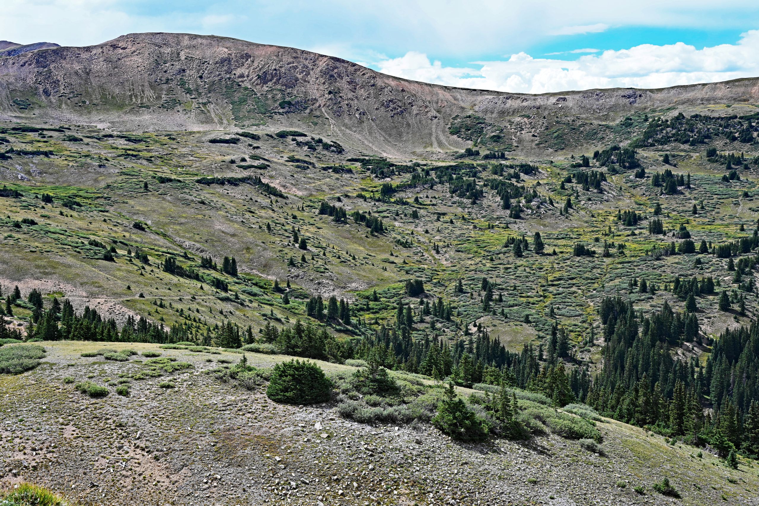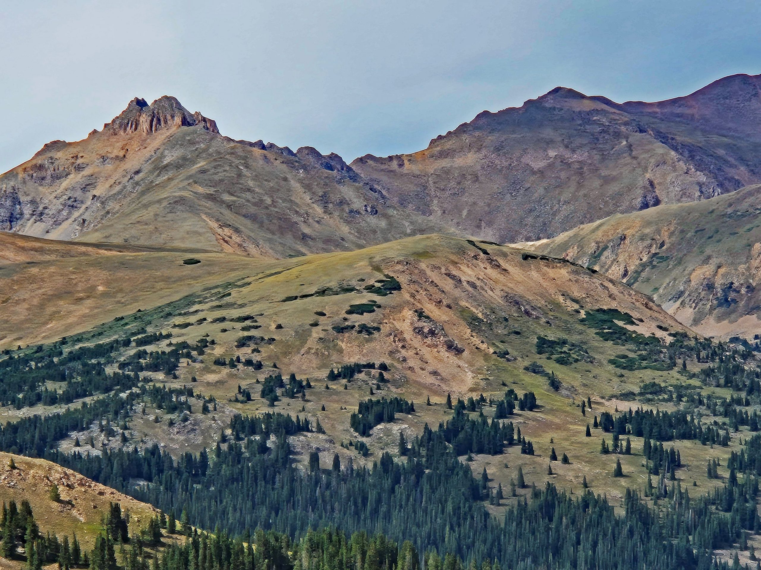
The morning in Frisco still held the familiar tranquility of the valley, but my destination for today lay far above the tree line, where the wind tells the stories of the Continental Divide [39KiAa, z8O4US]. The drive led me up into a raw, majestic world where nature speaks its very own, untouched language. My first milestone was a hidden basin beneath the mighty mountain peaks, where two alpine jewels lay like spilled ink across the landscape.
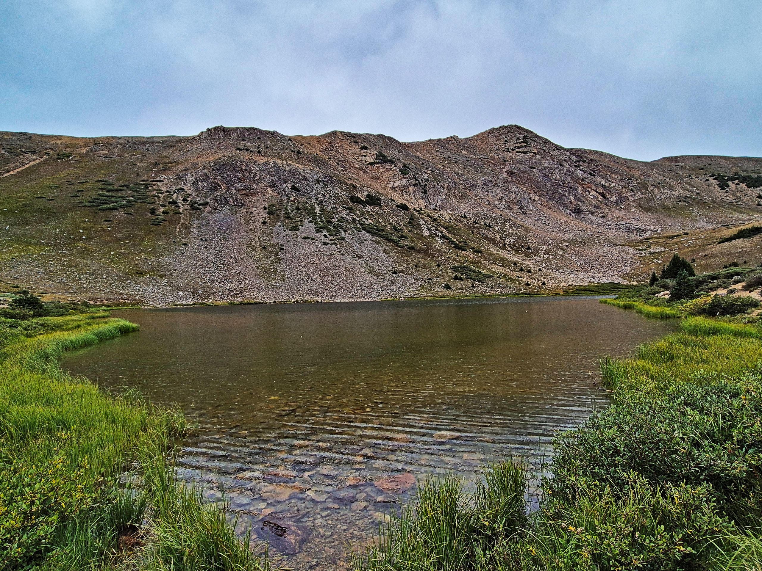
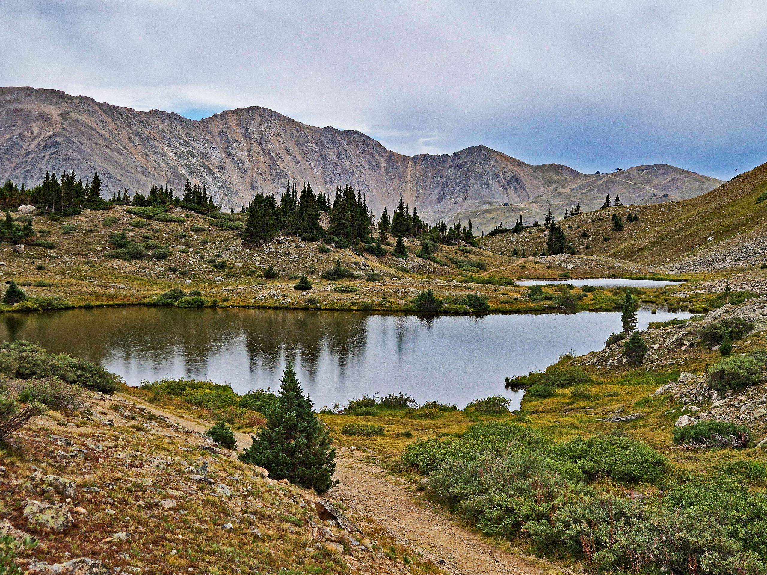
As I began my walk into the glacially carved cirque, the panorama of Pass Lake opened up before me [AYI7wv]. The atmosphere here, at an altitude of over 11,800 feet (3,600 meters), was filled with a still, almost solemn solitude. The lake lay perfectly peaceful, nestled into the lush green of the alpine tundra, which blanketed the rocky ground like a soft carpet [AYI7wv]. The water was of such extreme clarity that every single pebble on the bottom looked polished, as if under a sheet of glass. Directly behind it rose the barren, massive flanks of Grizzly Peak—a colossus of gray scree and rugged rock bands, its chutes dropping steeply into the lake basin. The sky was covered with a dense, light-gray blanket of clouds, muting the light and breathtakingly emphasizing the contrast between the vibrant green of the tundra and the cold gray of the primordial rock.
A narrow, stony path turned away from the shore, leading me further into the solitude where the terrain rises gently [AYI7wv]. After a short hike, I reached Lake Kaz. It felt even more intimate, almost a bit shyer than its larger neighbor. Deep green conifers, which become scarcer up here and hug the ground tightly, lined its shore. The silhouette of the vegetation was mirrored perfectly in the glassy water, while the tundra plants around the lake already showed the first tender traces of autumn color. Looking back from here, the prominent saddle of Loveland Pass could be seen in the distance, where the thin line of Highway 6 cuts through the wilderness. Behind it loomed the massive north flank of Mount Sniktau, a seemingly endless wall of rubble and stone.
Gallery I: In the Heart of the Glacial Cirque
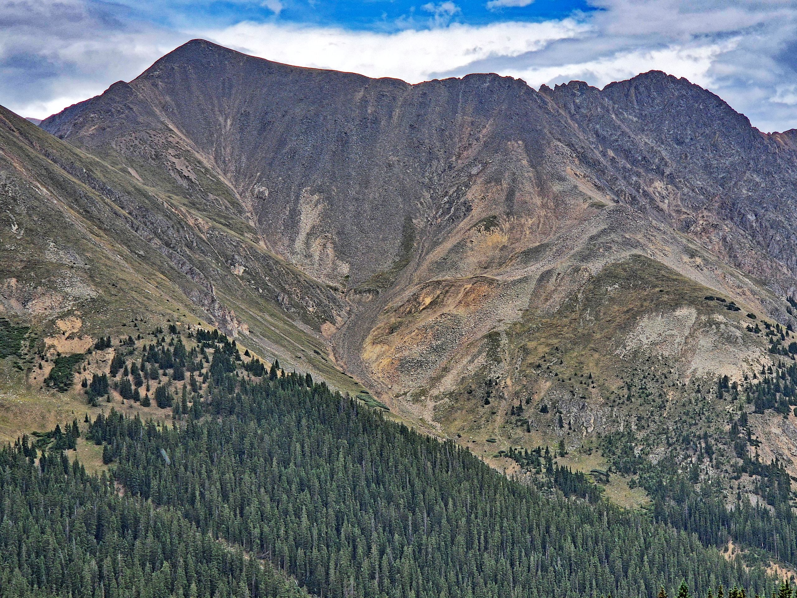
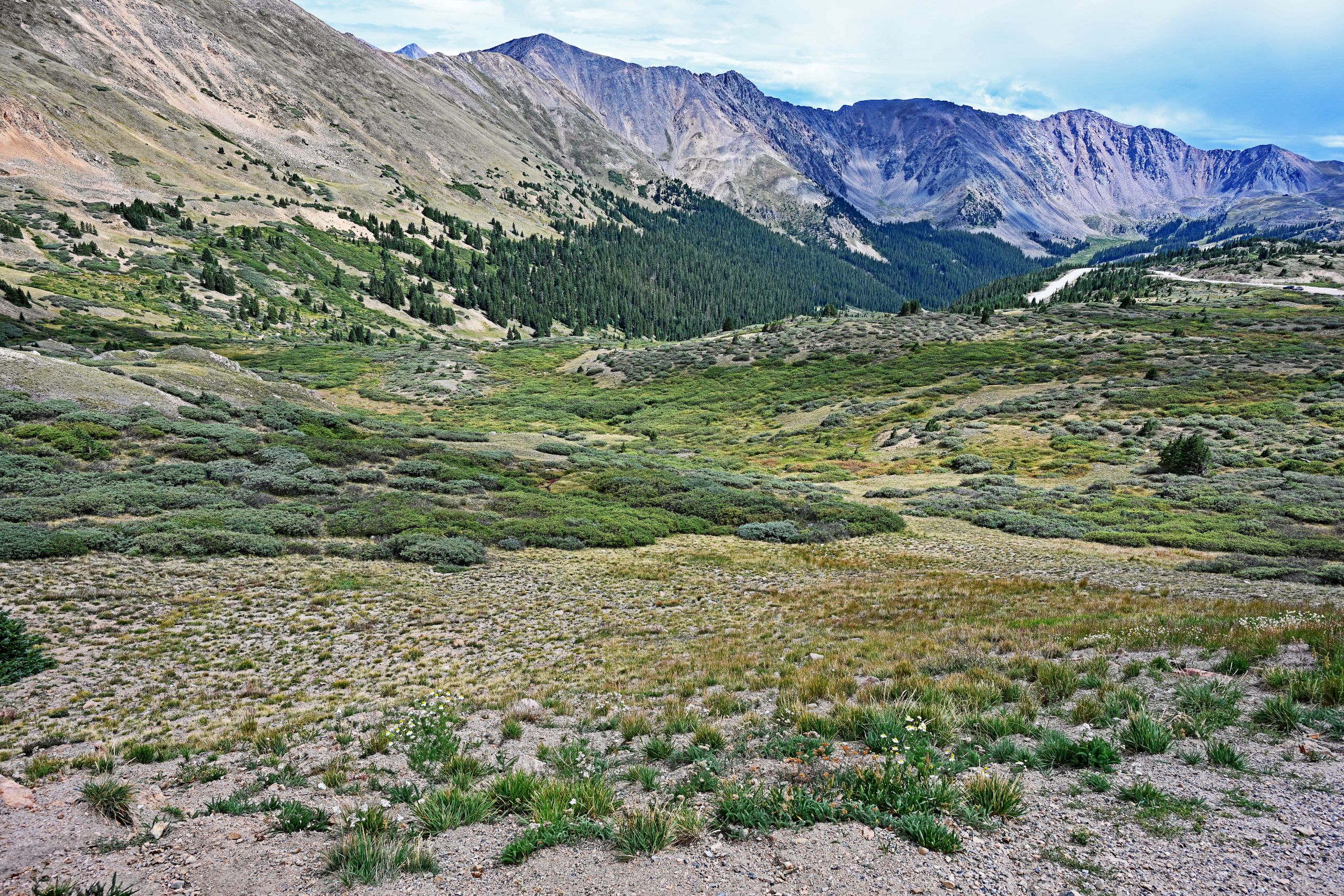
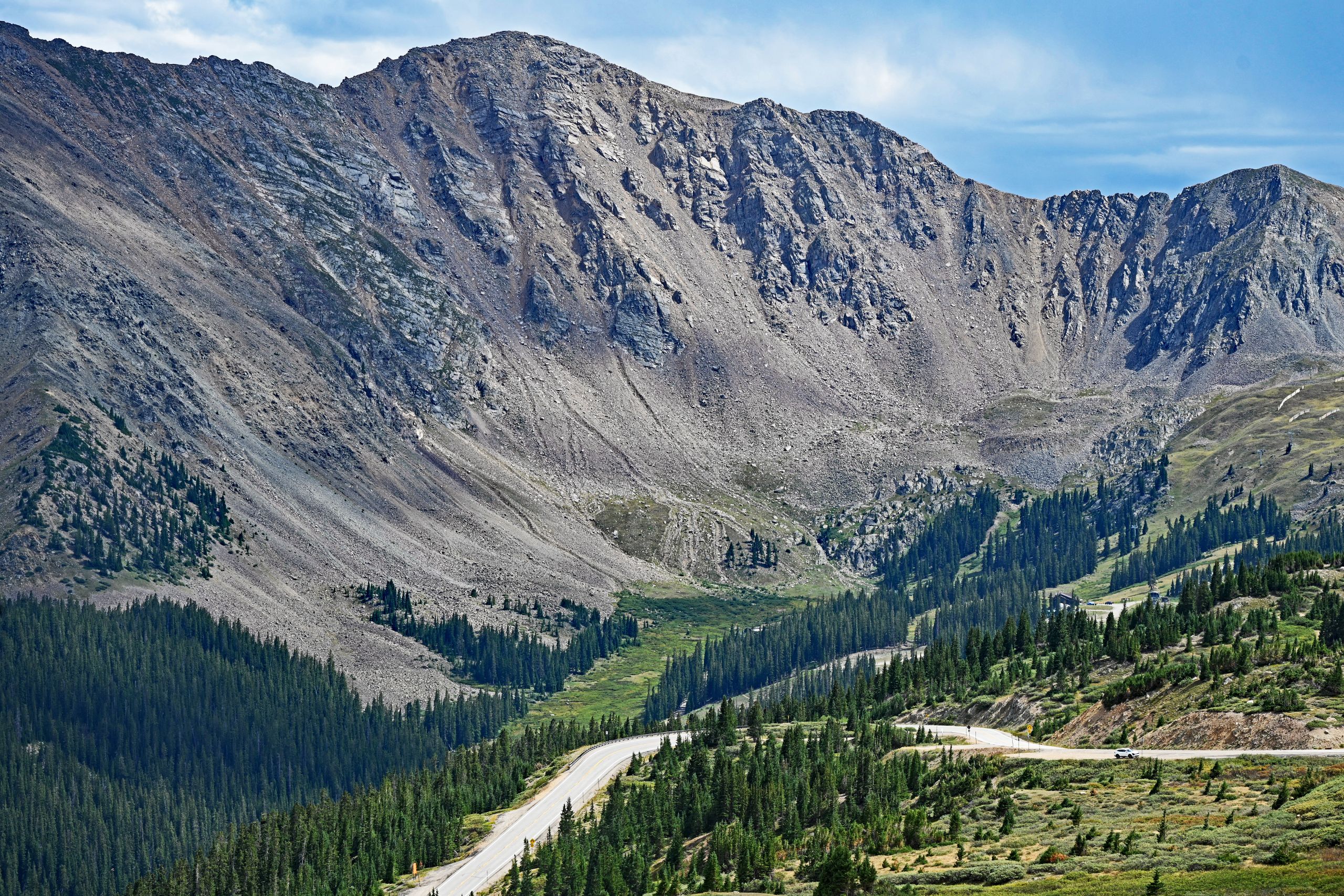
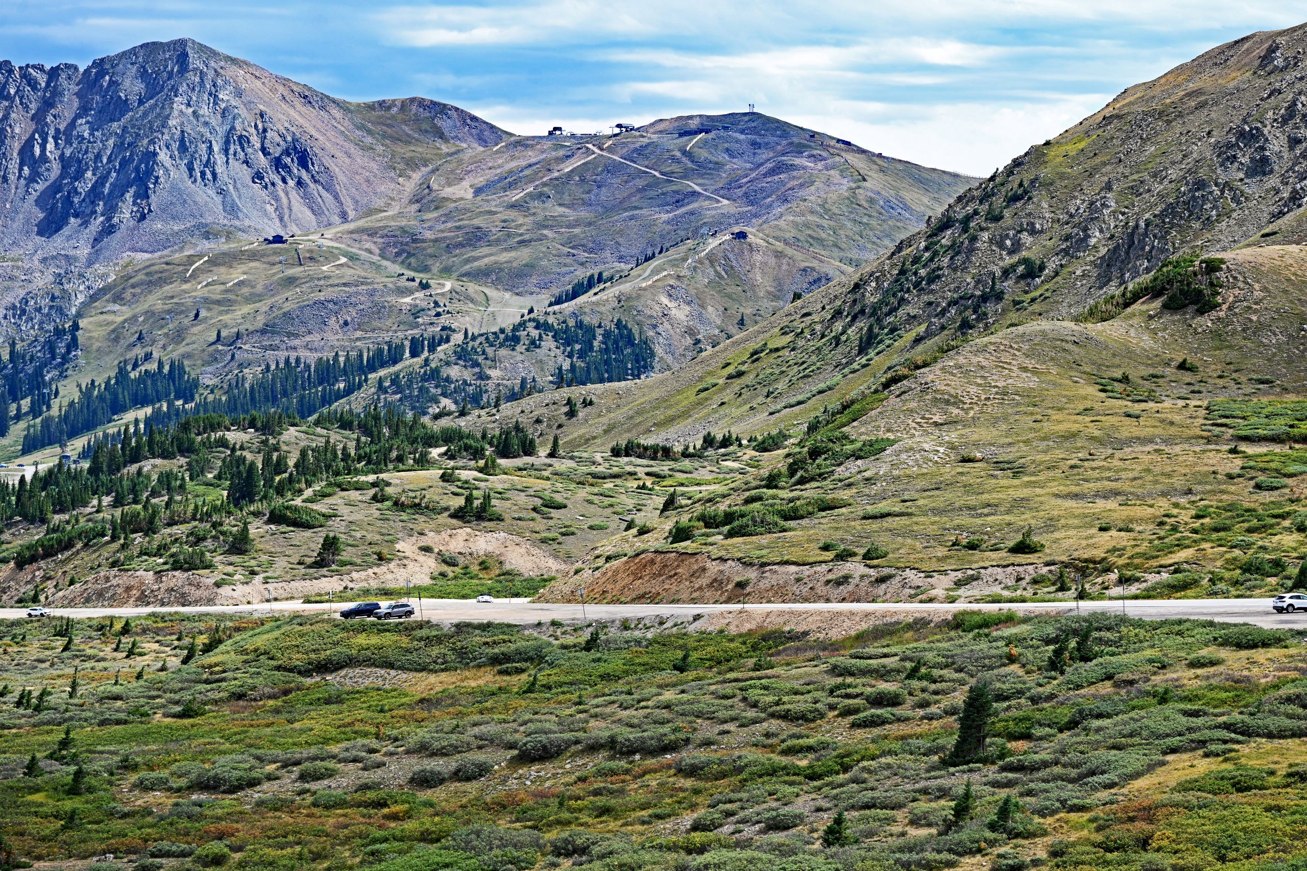
After breathing in the silence by the lakes, I returned to the car and drove up the steep switchbacks to the actual summit of Loveland Pass [2yZoPX]. Arriving at 11,990 feet (3,655 meters), the perspective changed instantly [2yZoPX]. What looked like an insurmountable wall from below now lay at my feet. The view down into the wide valley was dizzyingly beautiful. The asphalt ribbons of the pass road cut through the landscape in elegant sweeps, framed by dense pine forests that occupied the valleys like a dark green army before thinning out towards the tree line [2yZoPX]. In the background enthroned Grizzly Peak once more, its gigantic scree fields only revealing their true, awe-inspiring dimensions from this height [2yZoPX]. Turning the gaze slightly to the west, the barren slopes of Arapahoe Basin, marked by ski runs and chairlifts, came into view—a gentler, human-shaped contrast to the otherwise wild surroundings [-WVcdT].
Gallery II: The View from the Pass Summit
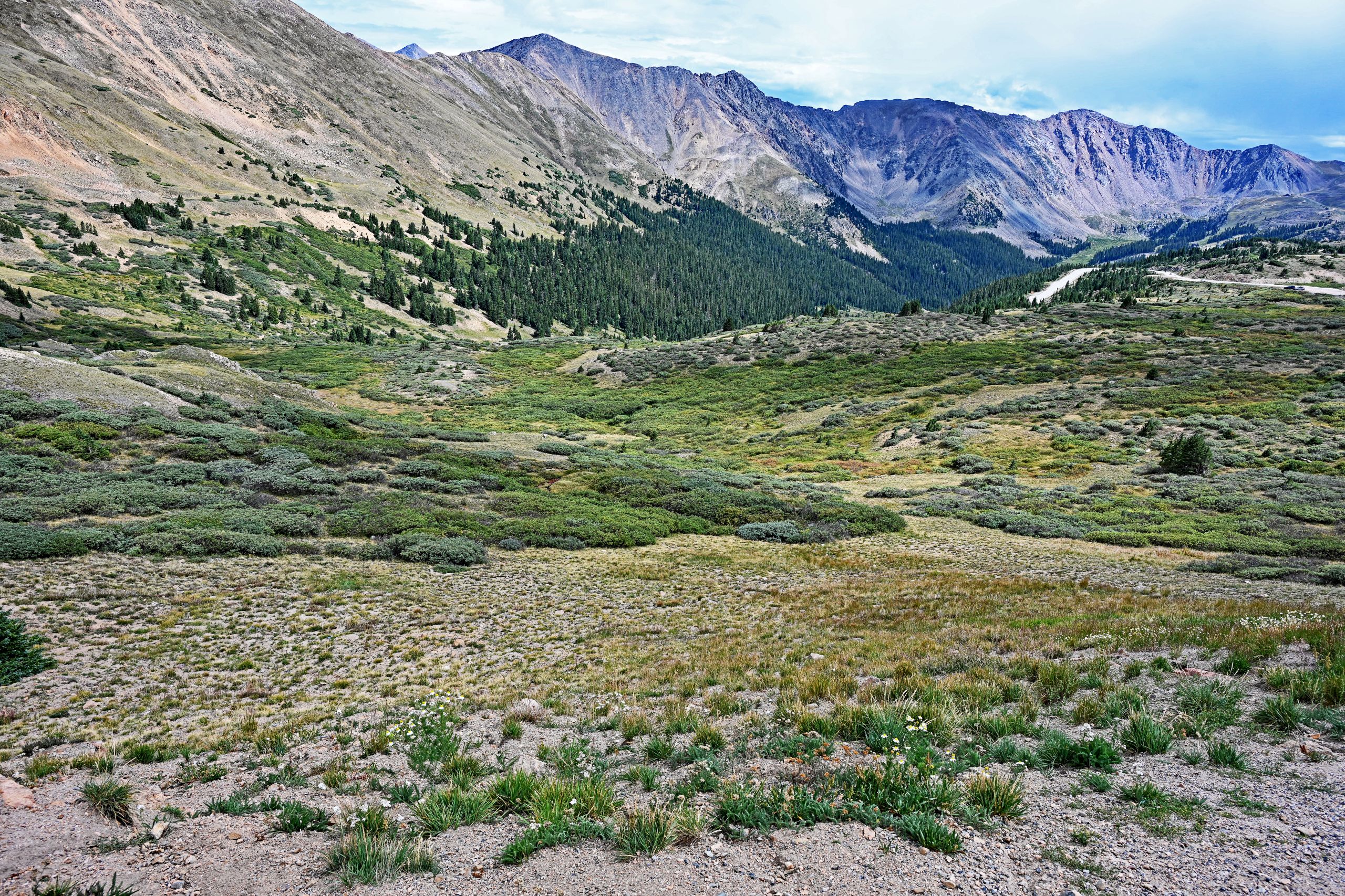
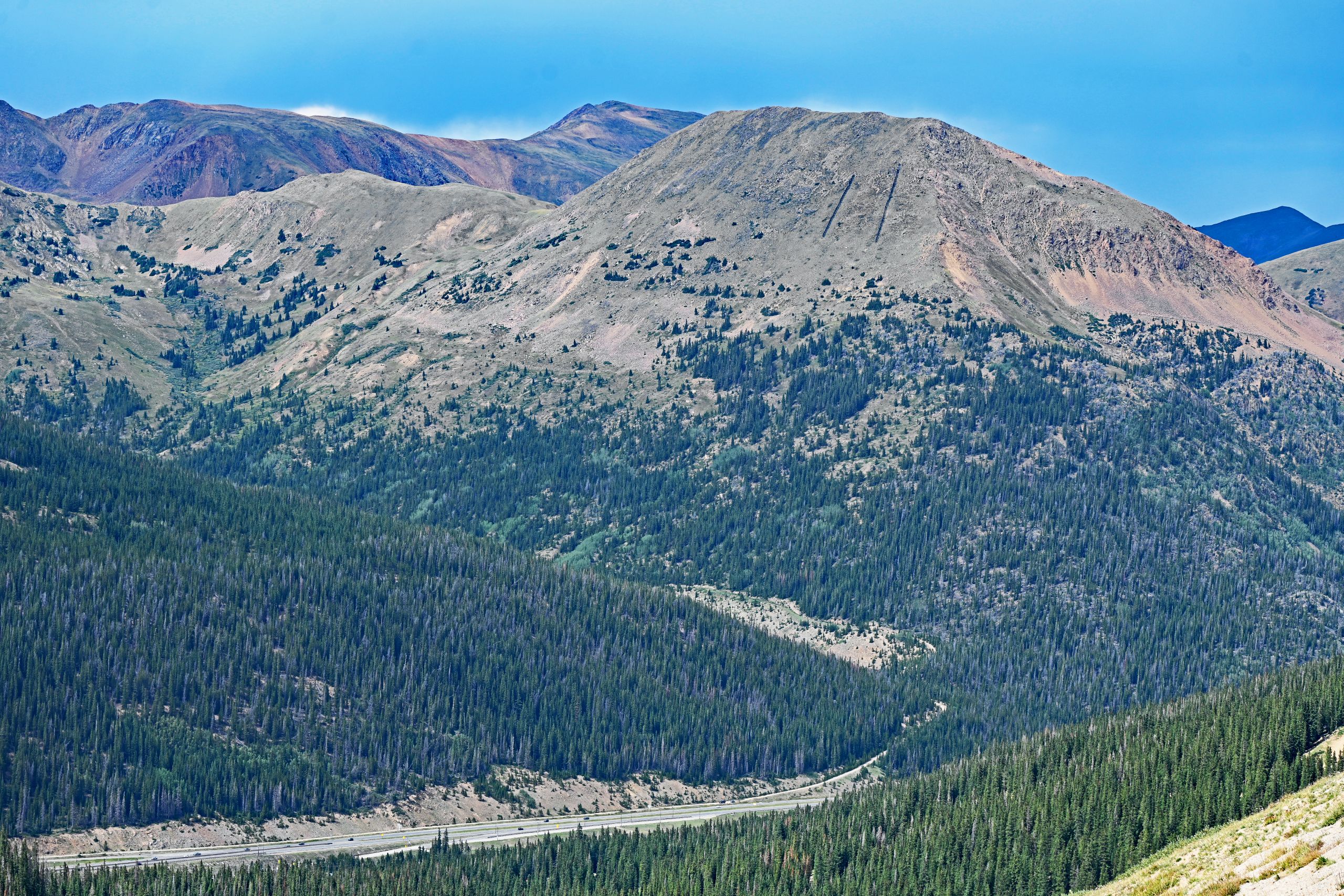
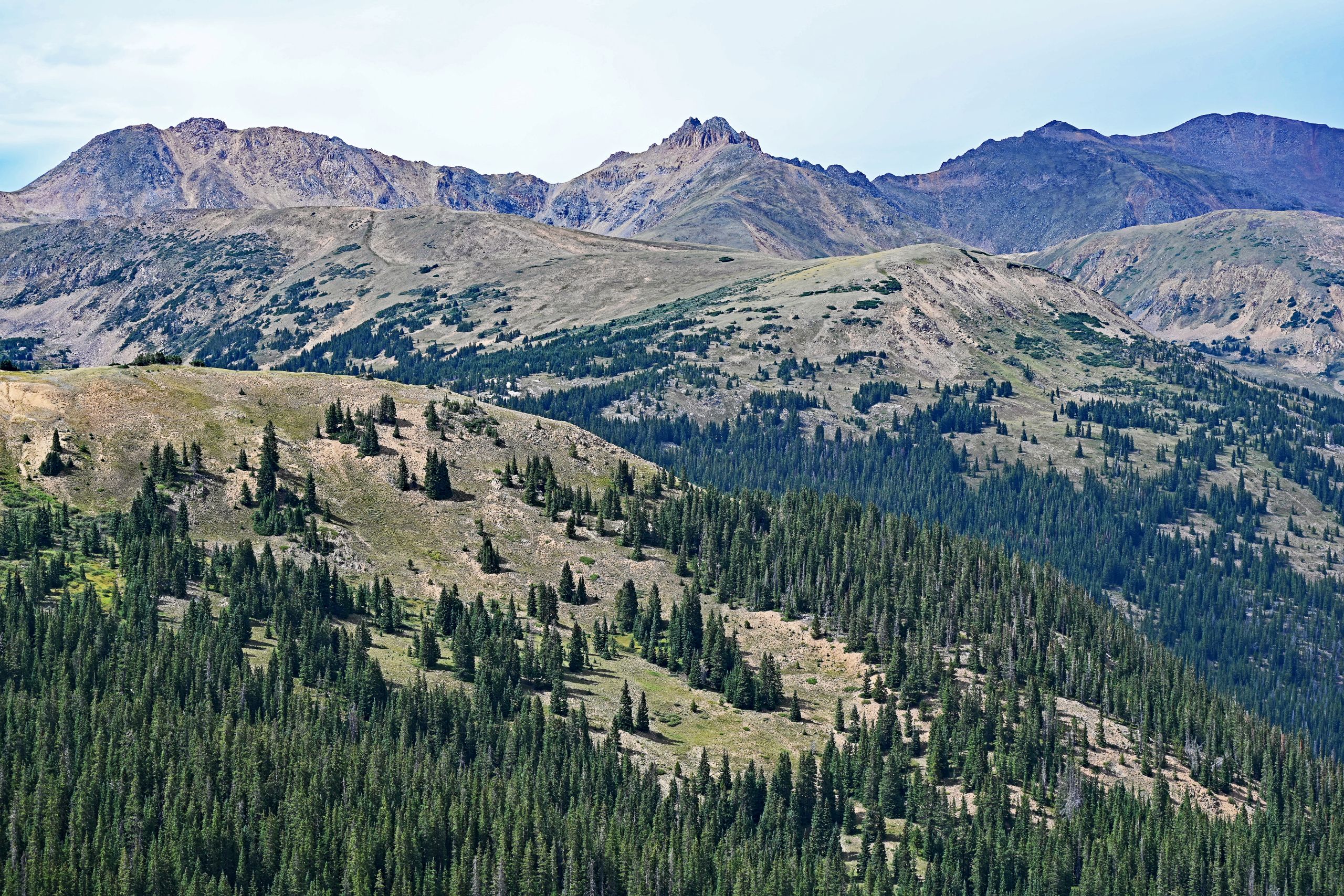
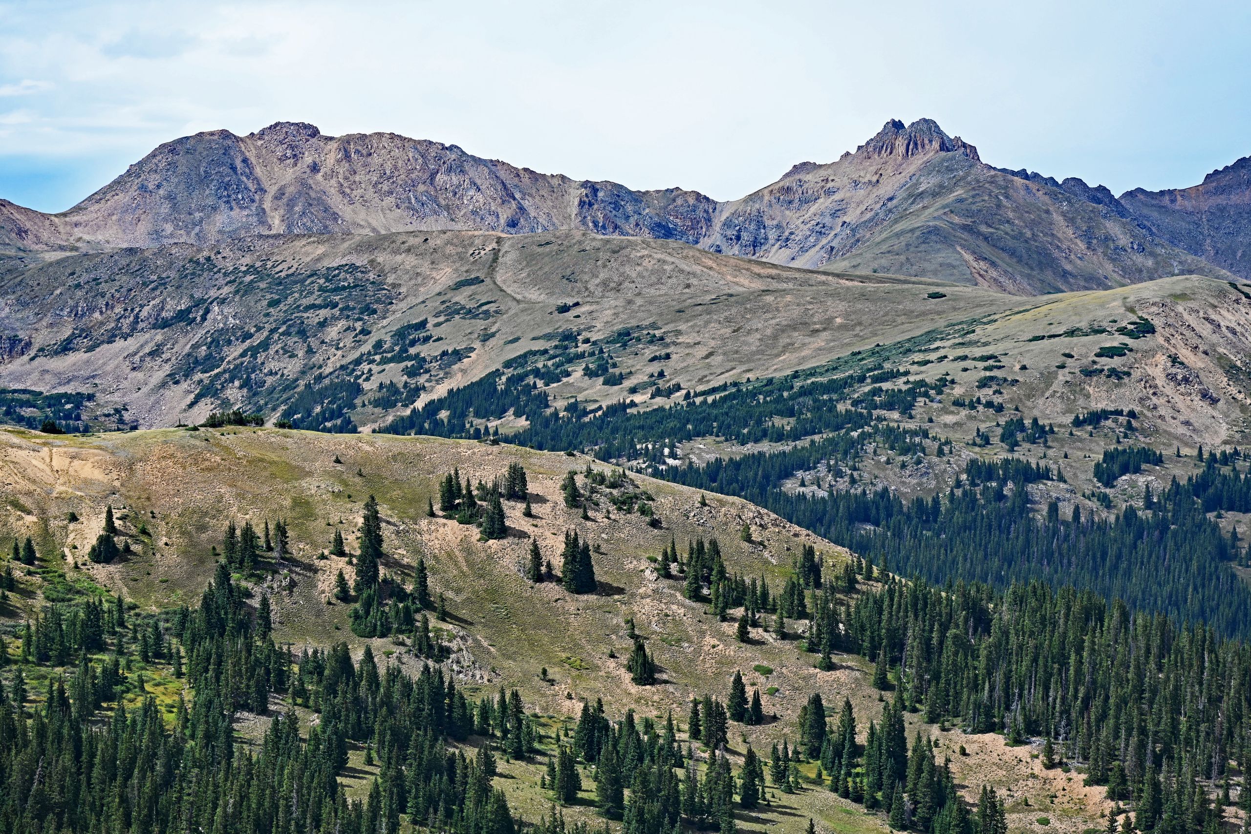
Yet, Loveland Pass has two faces. When I crossed the road and turned my gaze north and northwest, a completely new, equally fascinating scenery unfolded. Here, Mount Bethel dominated the landscape—a massive, dome-shaped mountain whose light-colored rock at the top rose almost naked into the sky, while its base sank into an endless sea of deep green firs [39KiAa]. Far below in the valley, the gray ribbon of Interstate 70 cut through the forest just before disappearing into the Eisenhower Tunnel [39KiAa]. On the distant horizon, I looked at the wildly jagged, double-peaked silhouette of The Citadel and the broad ridge of Hagar Mountain [2RWfR2, mf23UW]. Nature had created shapes up here that were so sharp and angular they looked sculpted [2RWfR2].
A final look back over the wide basin of Professor Valley showed me once more the barren, elongated ridges of Mount Sniktau before the weather changed [r4qFGP]. The interplay of the cameras accompanied me along the way: while my Nikon Z7II captured the scene in uncompromised, natural detail and soft color gradations, the Samsung S24 worked magic on its display with its automatic HDR—a deep blue canopy of sky stretching over the reddish-glowing slopes [z8O4US]. It was the perfect, high-contrast conclusion to a hike between the extremes of the Rocky Mountains.
Gallery III: The Rugged Splendor of the North Side