
Golden October Above the Giants of the Bernese Oberland – October 30, 2016
When I boarded the train from Aarau to Grindelwald at 9:00 a.m. on the morning of October 30, 2016, there was little to suggest a perfect day in the mountains. The sky looked gray and uninviting, and as the landscape rushed past outside, I repeatedly asked myself in doubt whether it was really a good idea to head into the mountains today. Yet with every kilometer closer to the Alps, the gray cleared, and when I started my hike in Grindelwald Grund at 943 meters above sea level at 12:00 p.m. sharp, a true dream day awaited me: crystal-clear, crisp air, not a single cloud in the deep blue sky, and warming sunshine—you couldn’t have wished for a more beautiful October day.
The valley floor still lay deep in the cool shade, while high above the scattered wooden chalets and the tracks of the Wengernalp Railway, the sun was already setting the jagged rocky peaks aglow. My goal was ambitious: I wanted to climb on foot up to Kleine Scheidegg at 2,061 meters—and right from the very first meters, the trail showed that it wouldn’t give me anything for free. It went steeply uphill immediately. Still, my legs felt fresh, my backpack sat comfortably, and every glance back into the valley rewarded the effort right away. Above the dark coniferous forests, the snow-covered Wetterhorn with its striking twin summit of gray limestone and rust-brown bands rose like a mighty fortress into the deep blue sky, directly flanked by the massive, shadowy bulk of the Mettenberg.
Gallery 1: The Steep Ascent from the Grindelwald Valley
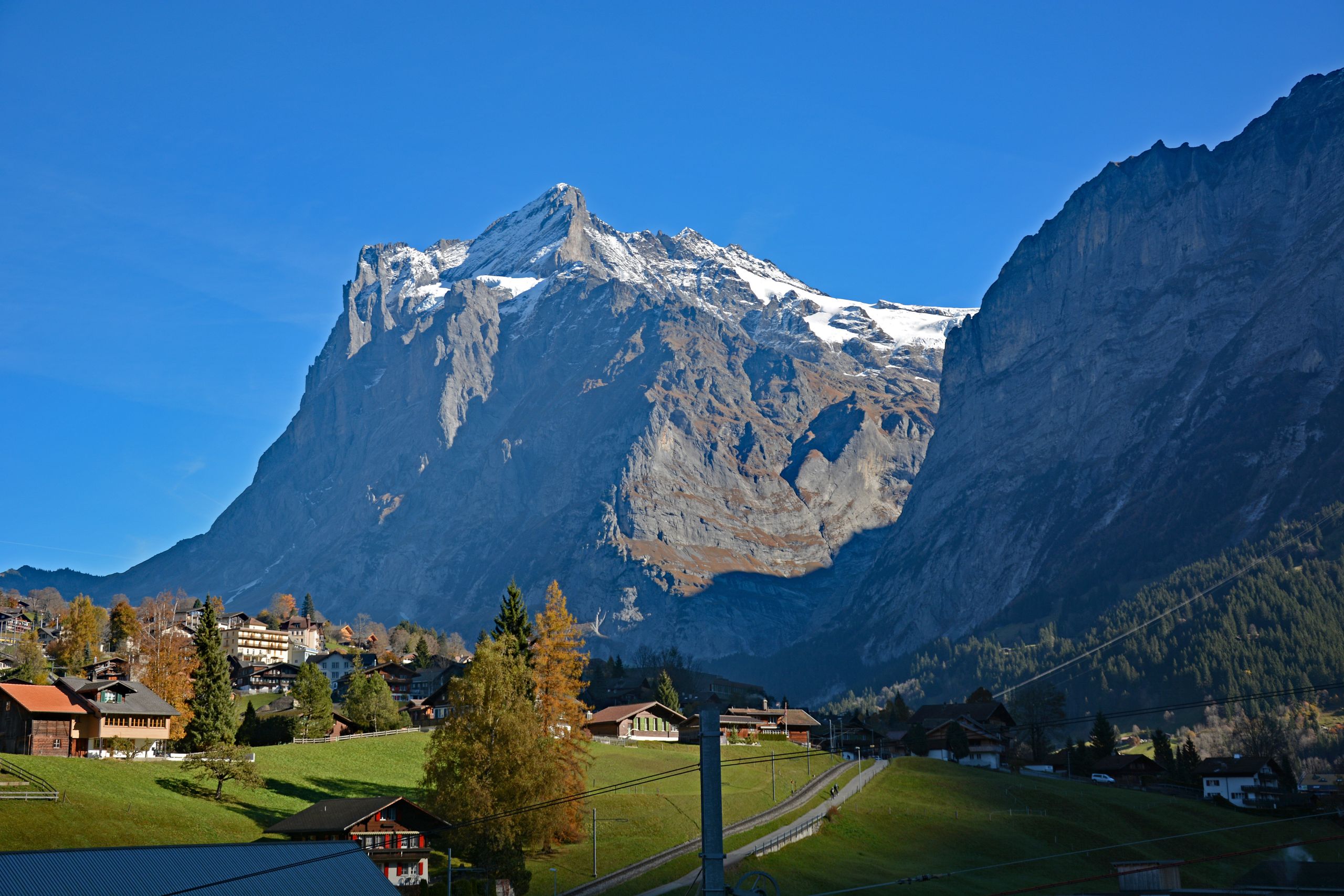
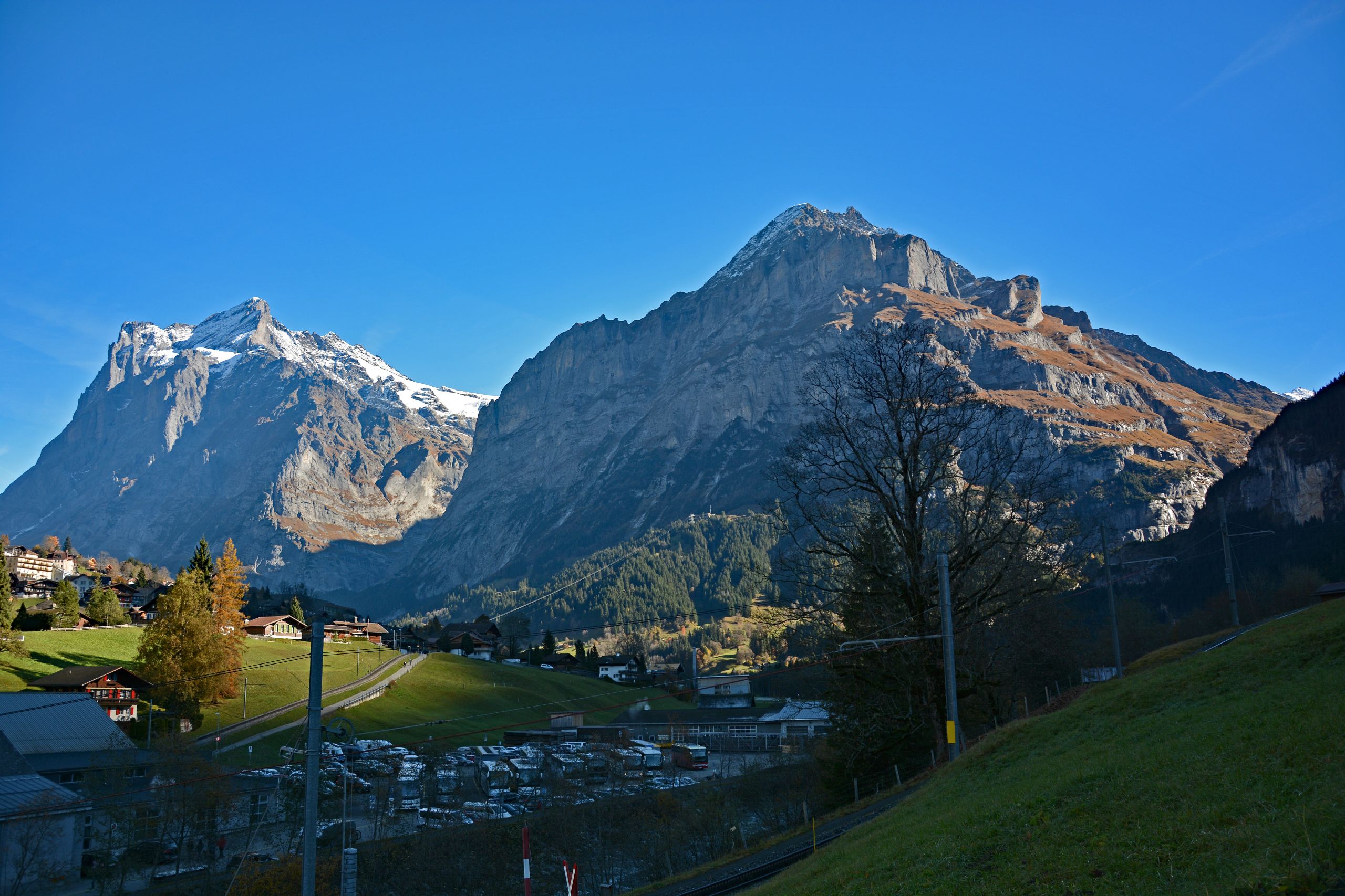
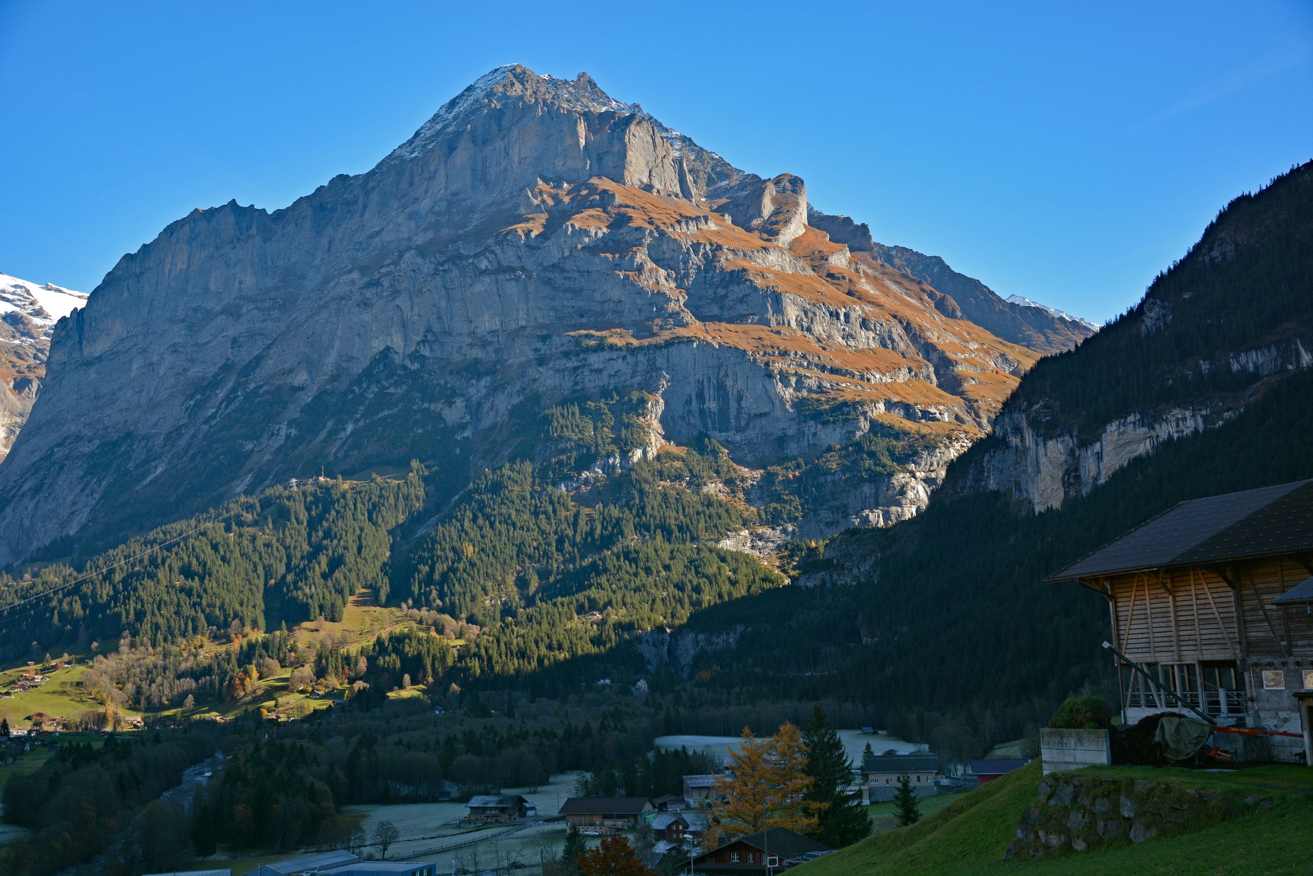
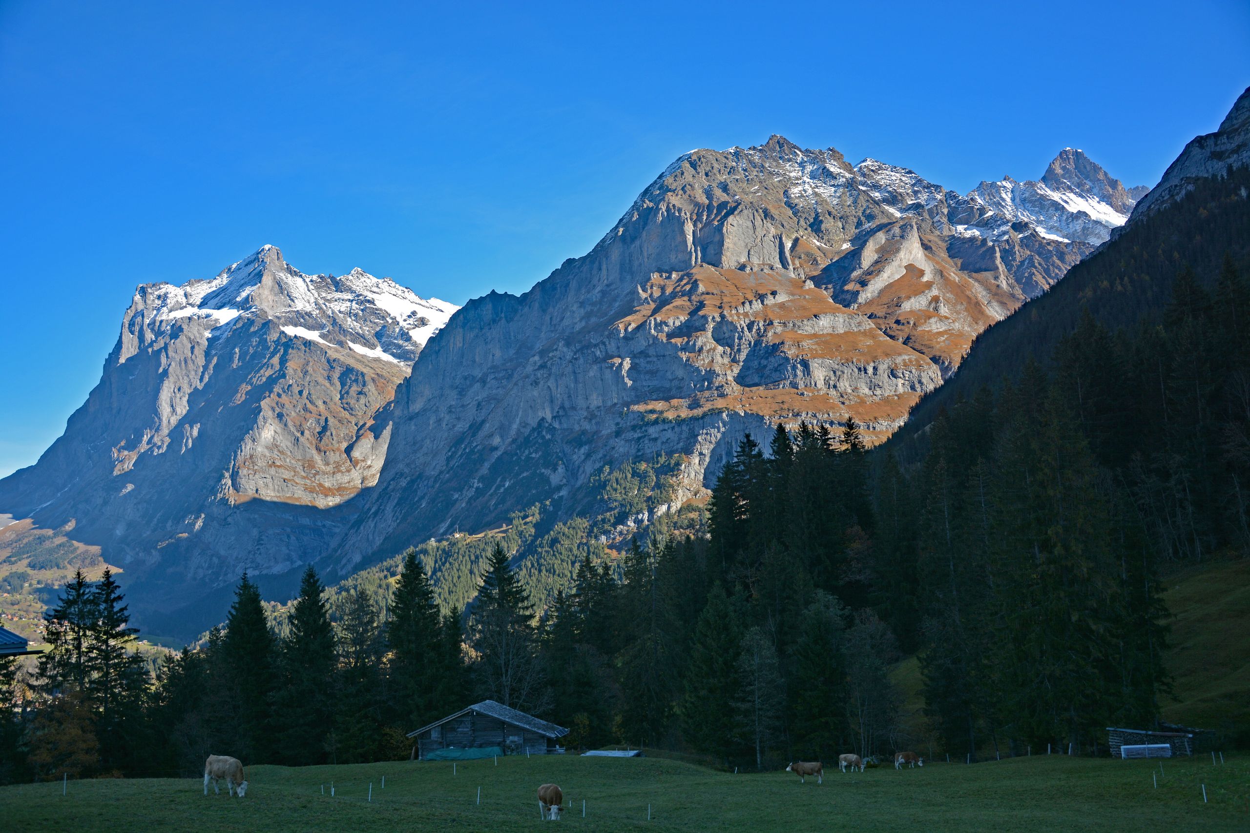
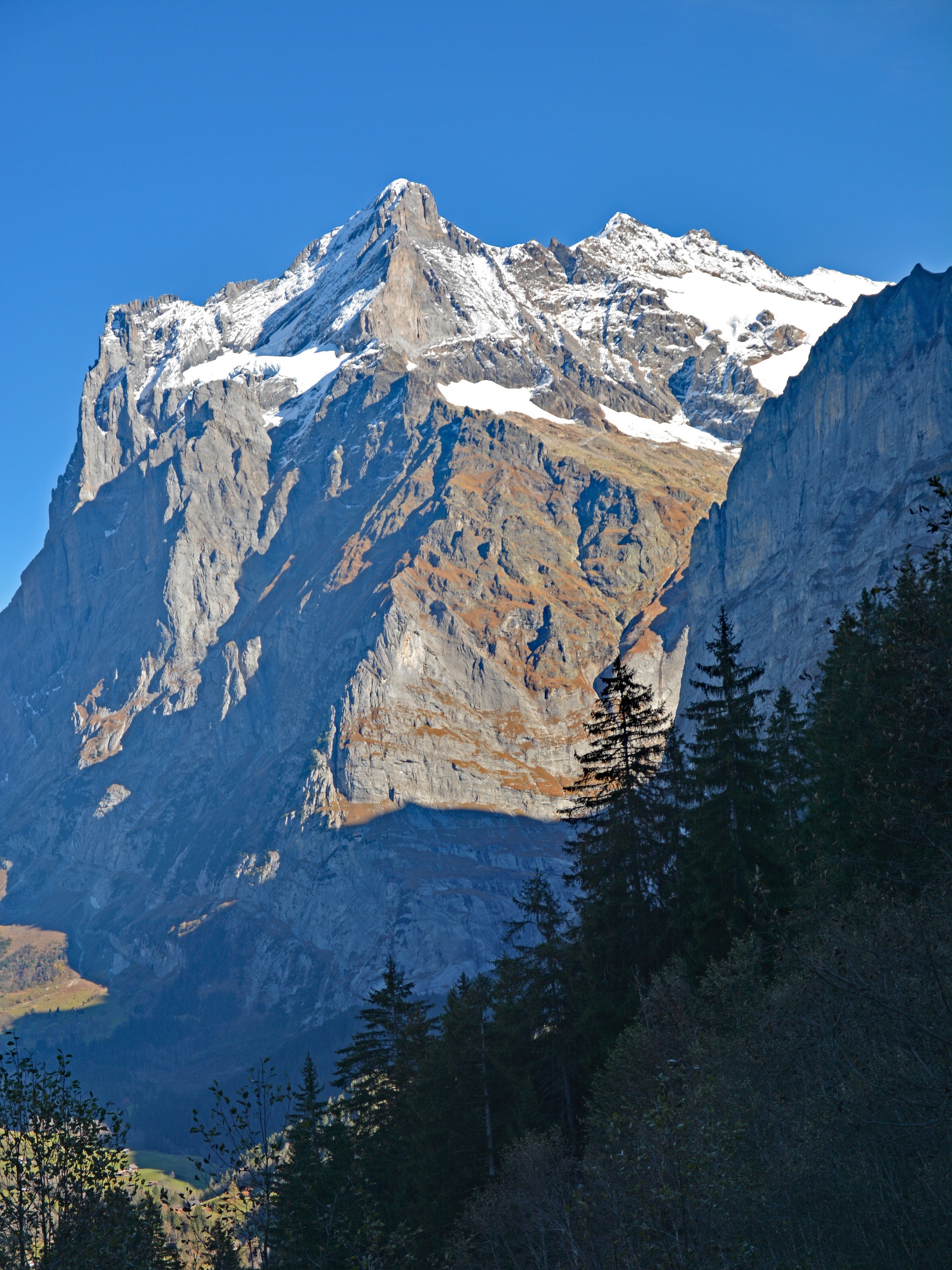
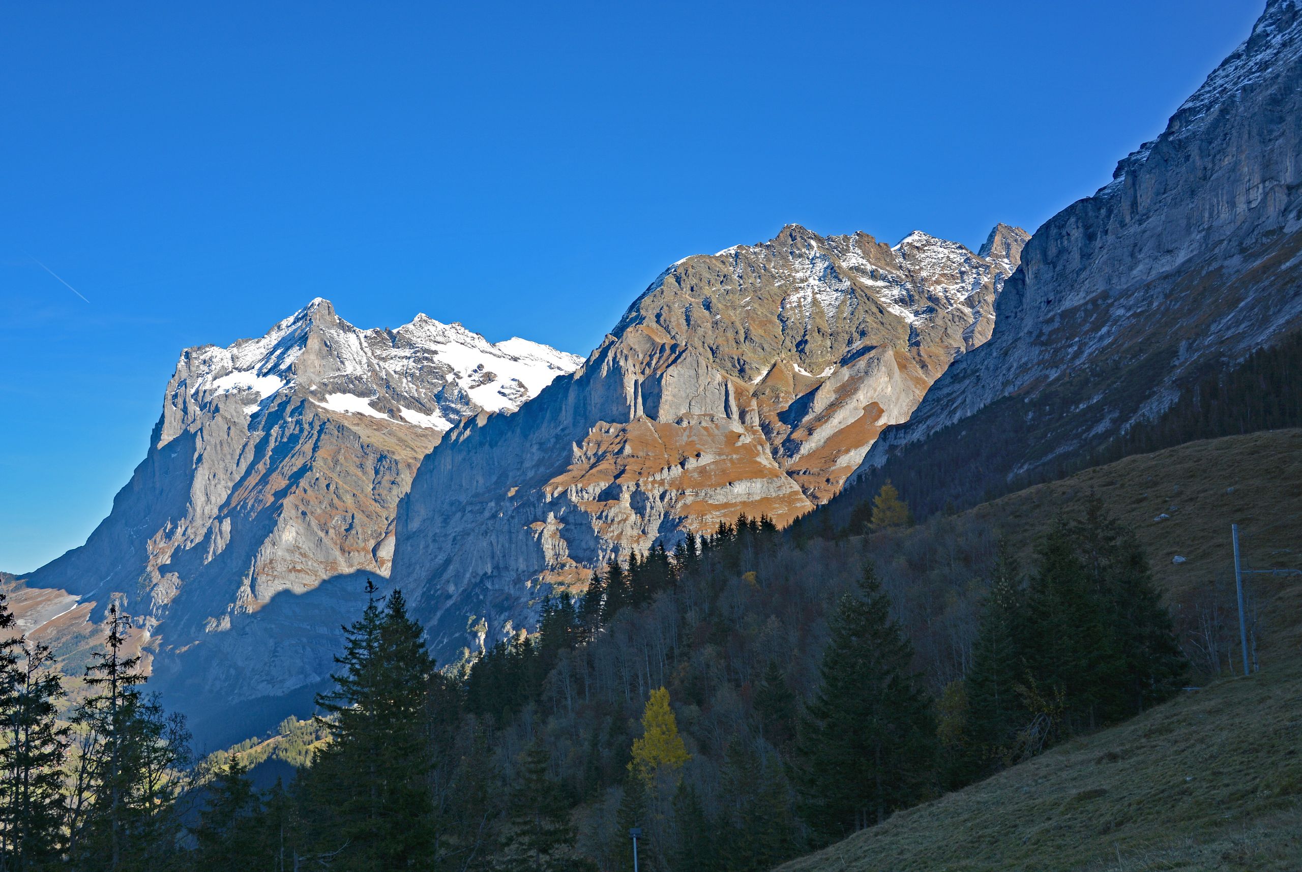
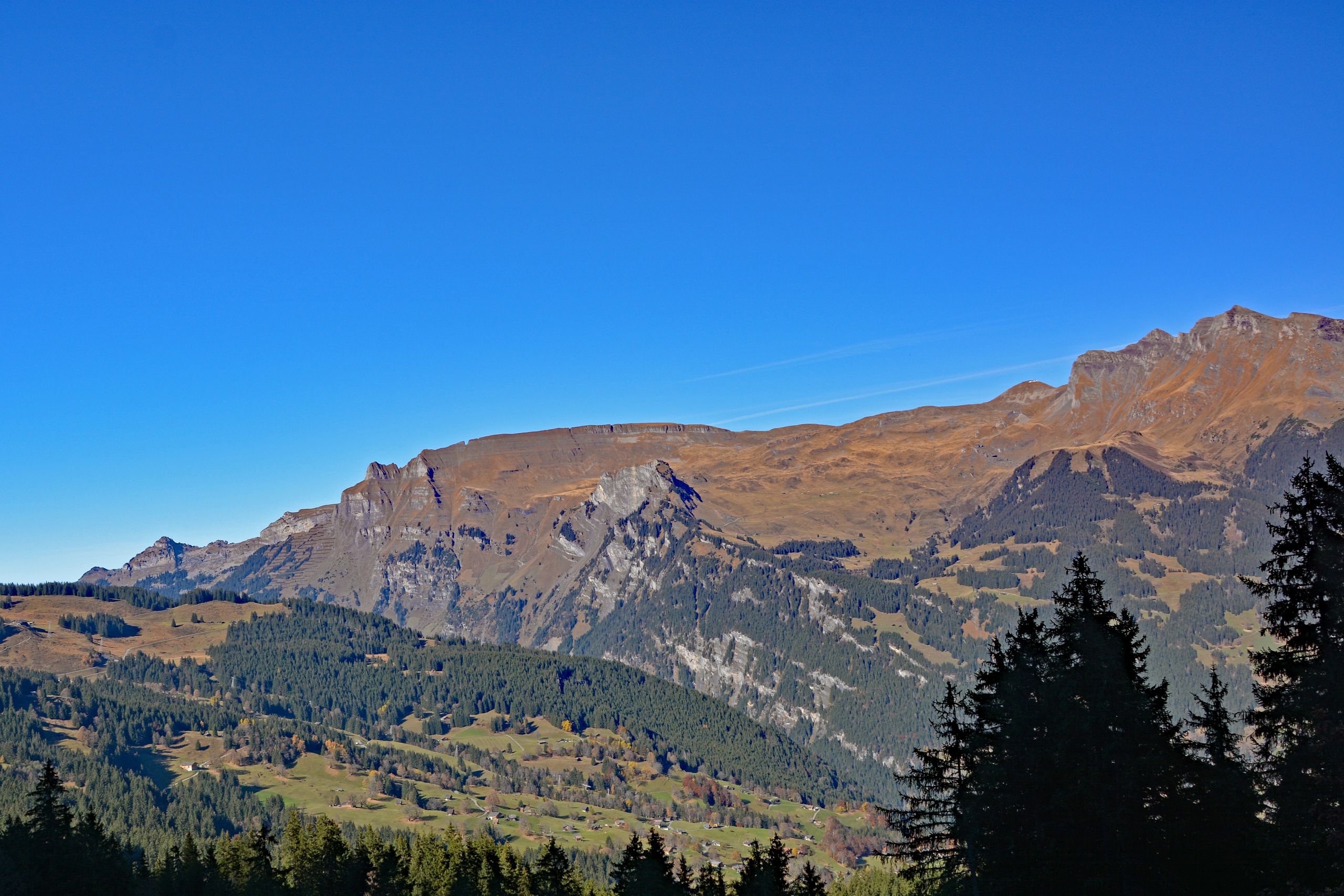
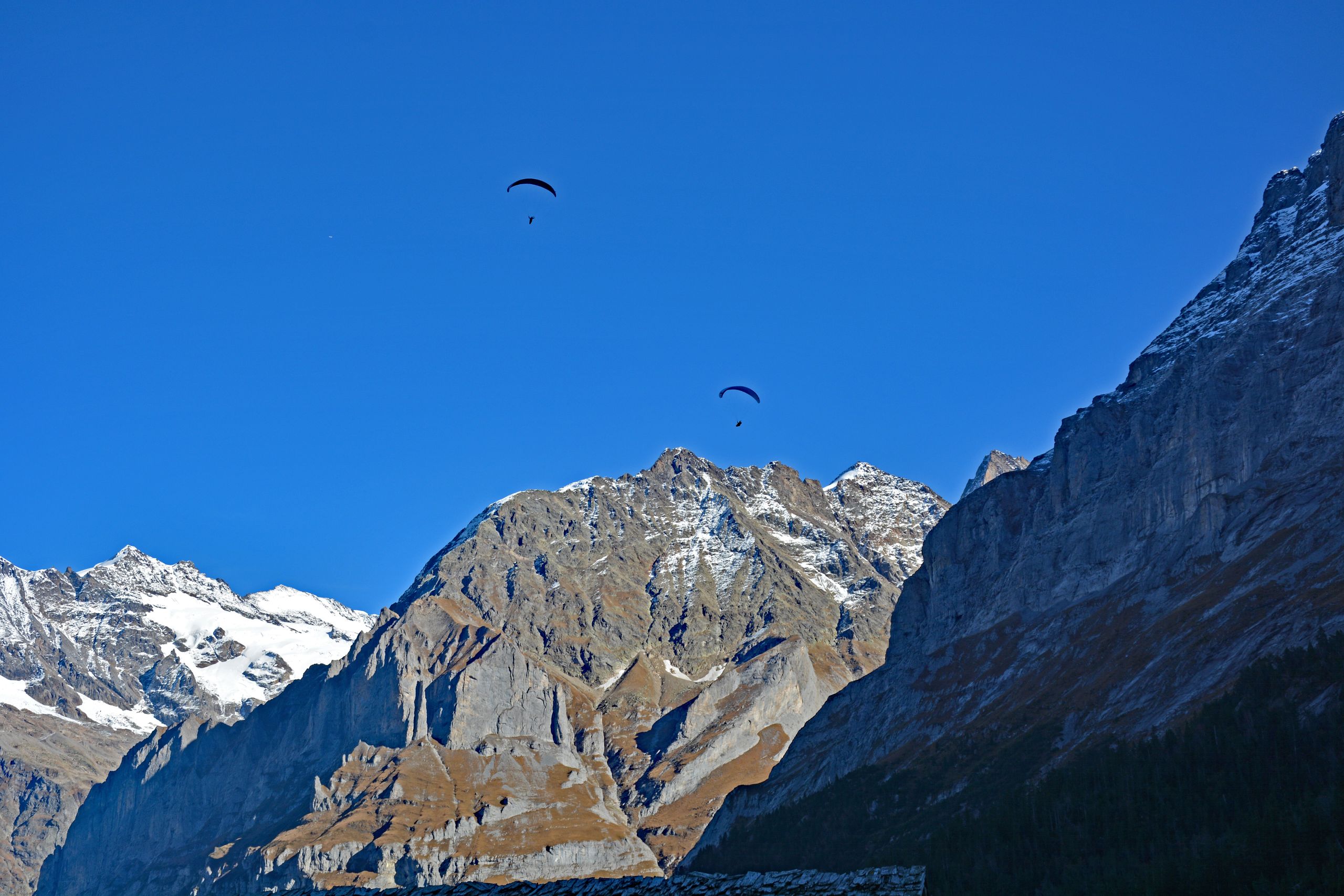
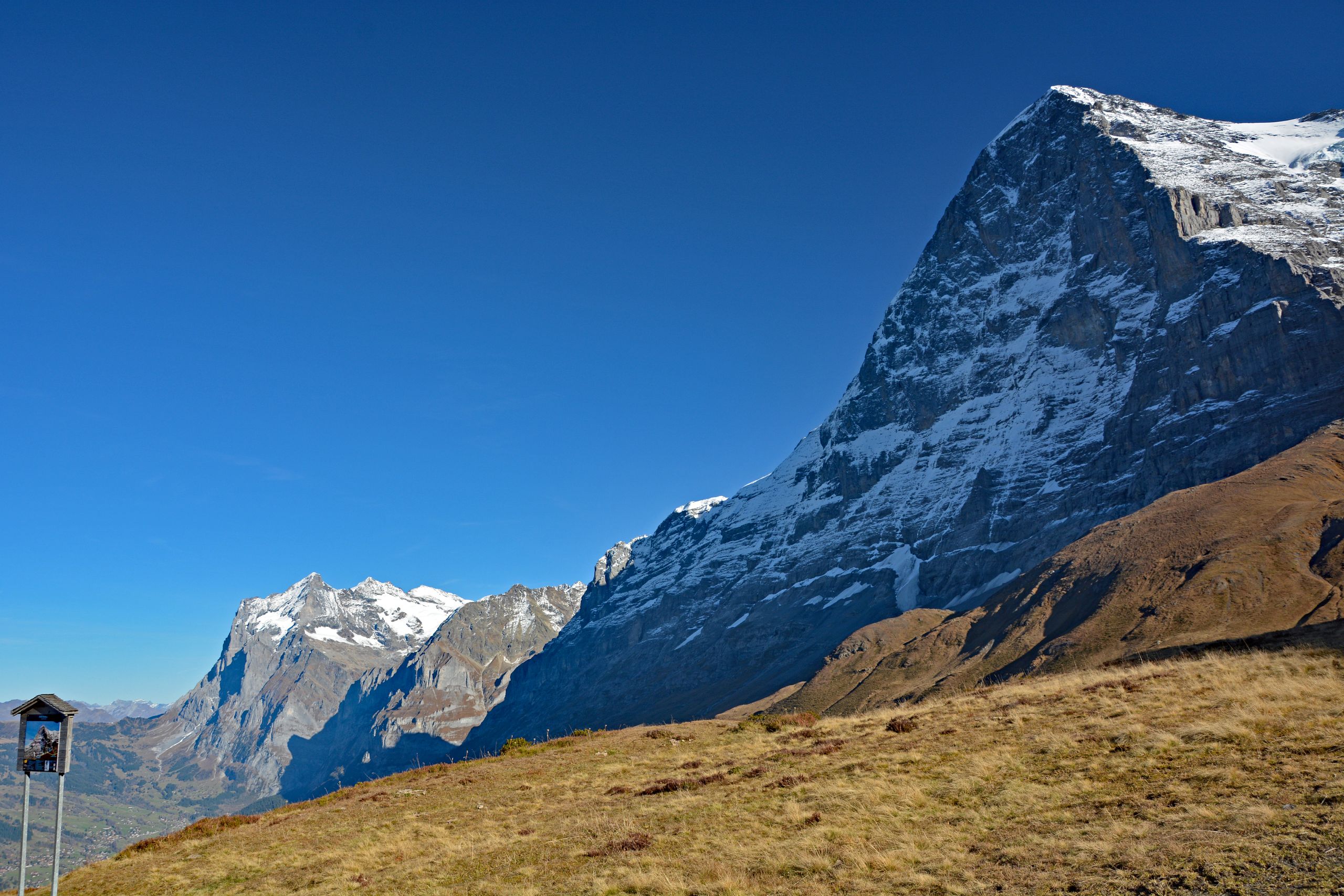
With every meter of elevation gained, the perspective shifted. Soon, alongside Wetterhorn and Mettenberg, the sharp, high-alpine rocky pinnacle of the Schreckhorn also appeared, while cows grazed peacefully on a still-shady alpine pasture in front of this dramatic trio of peaks. On the opposite side of the valley, the wide, golden-brown grassy slopes around First, Oberjoch, and Wildgärst glowed in the warm sunlight. When I finally reached the tree line and the dark Swiss stone pines and firs thinned out, the shadowy, forbidding north flank of the Eiger pushed into view on the right. High above my head, two paragliders circled seemingly weightlessly in front of the colossal rock faces—a fascinating contrast of absolute lightness to my own sweat-inducing climb. About one-third before the destination, around Alpiglen at 1,616 meters, the trail steepened relentlessly once more. My thighs burned, and at that moment I dearly wished I had packed trekking poles. Yet the destination was drawing closer: high up on the ridge, the silhouette of the historic Hotel Bellevue des Alpes was already standing out against the blue sky.
Gallery 2: At the Tree Line Toward the Goal
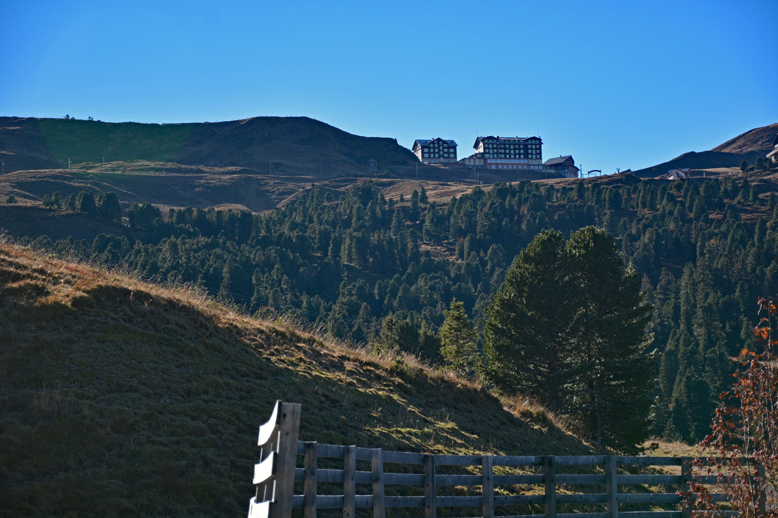
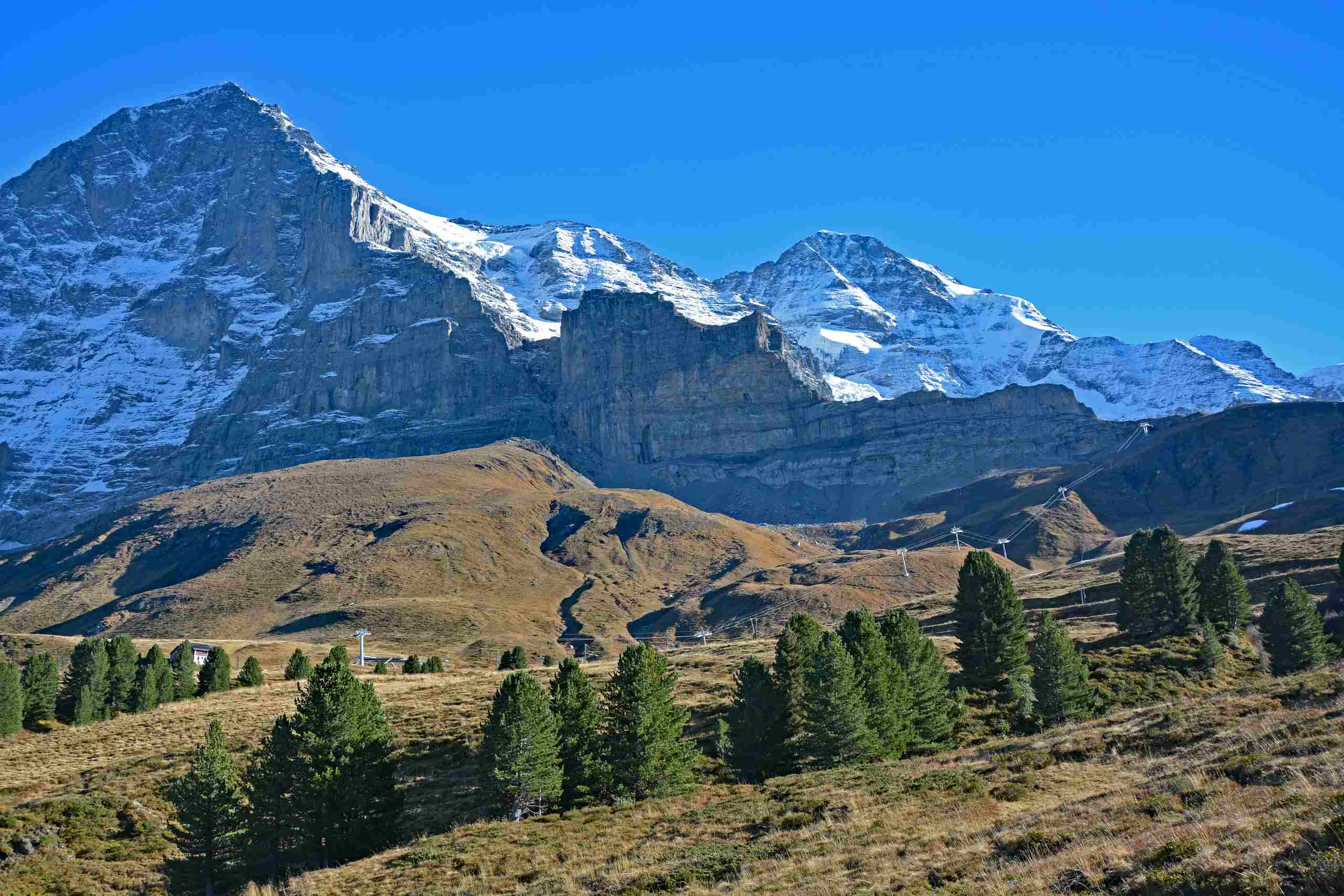
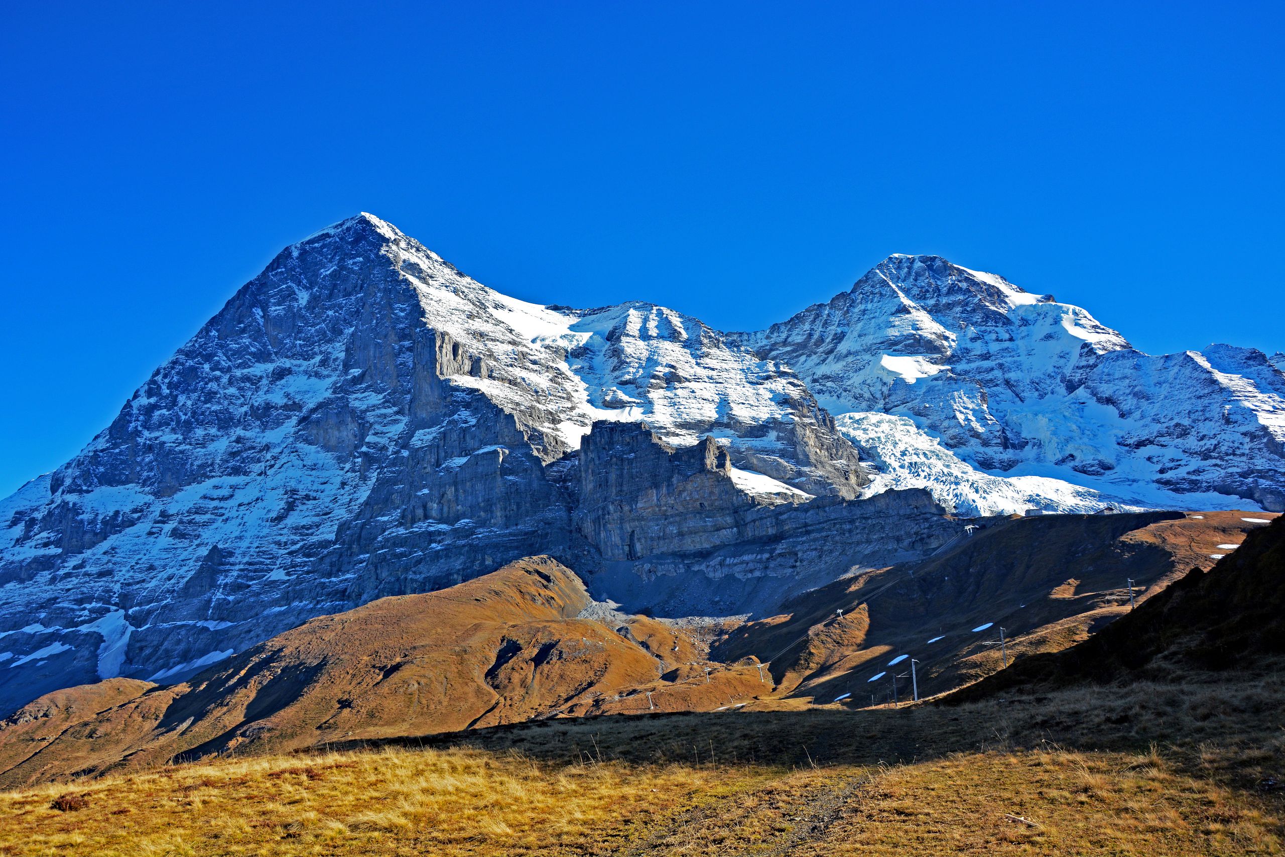
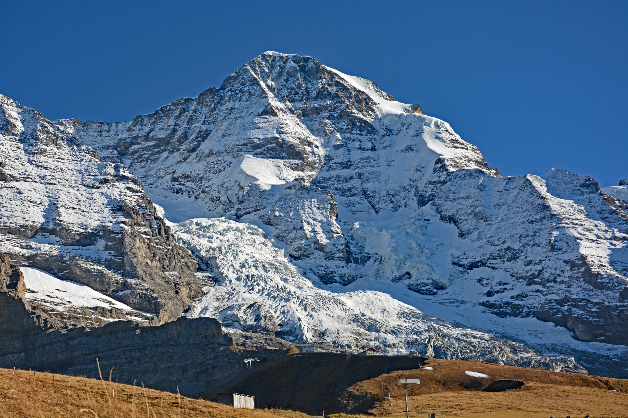
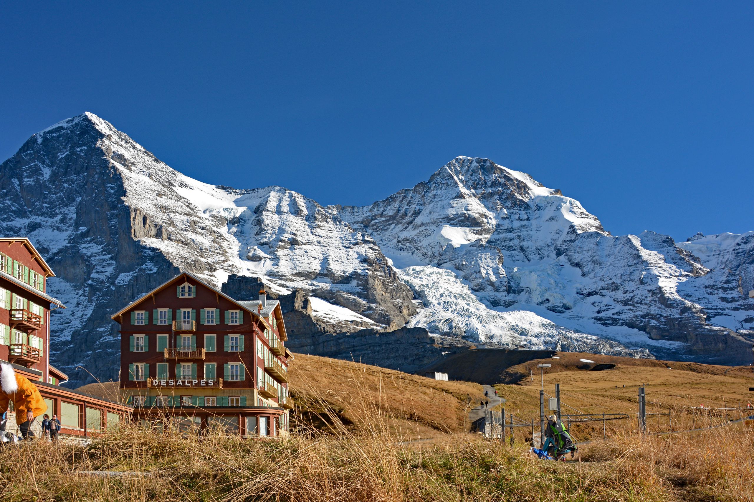
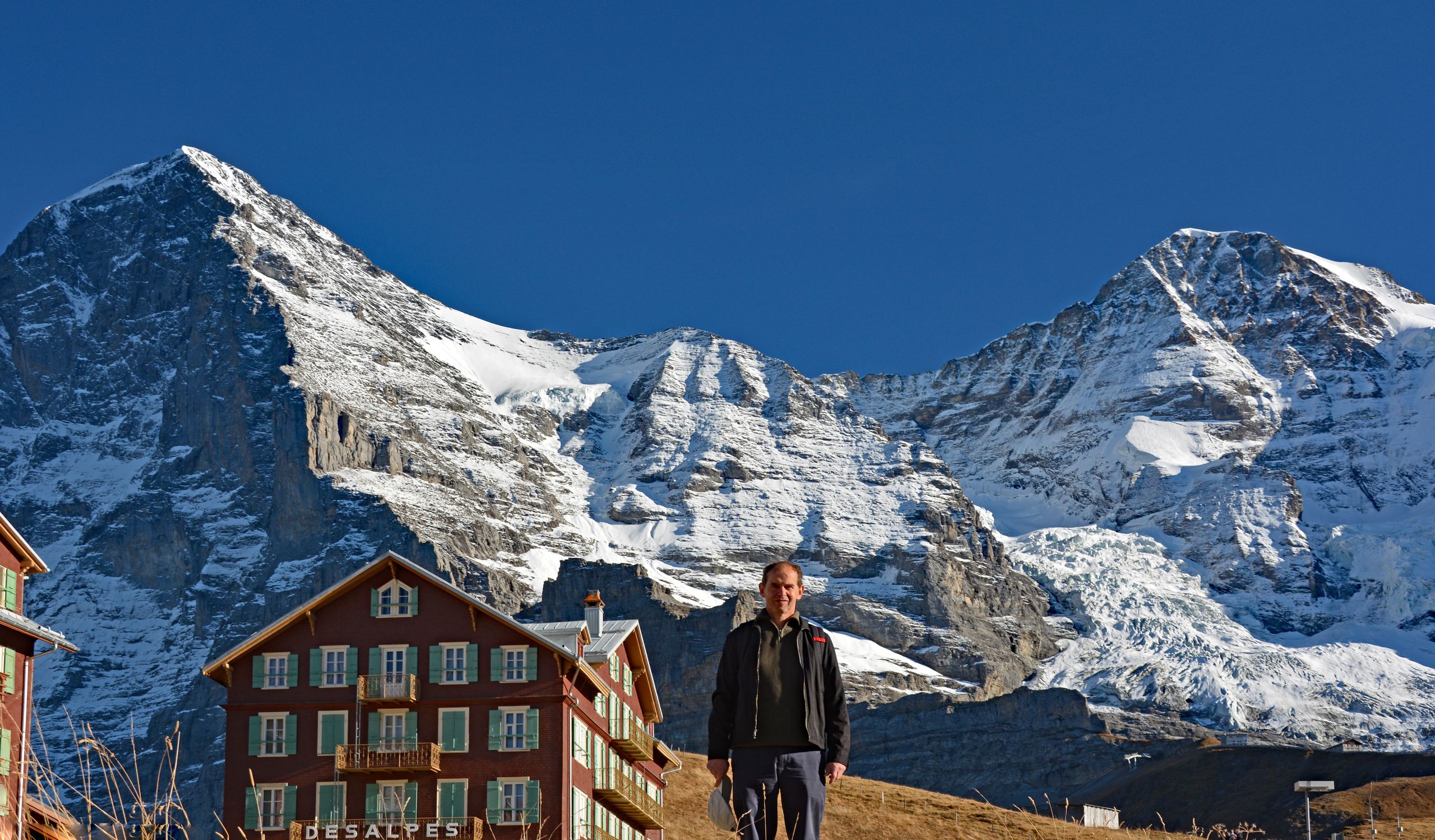
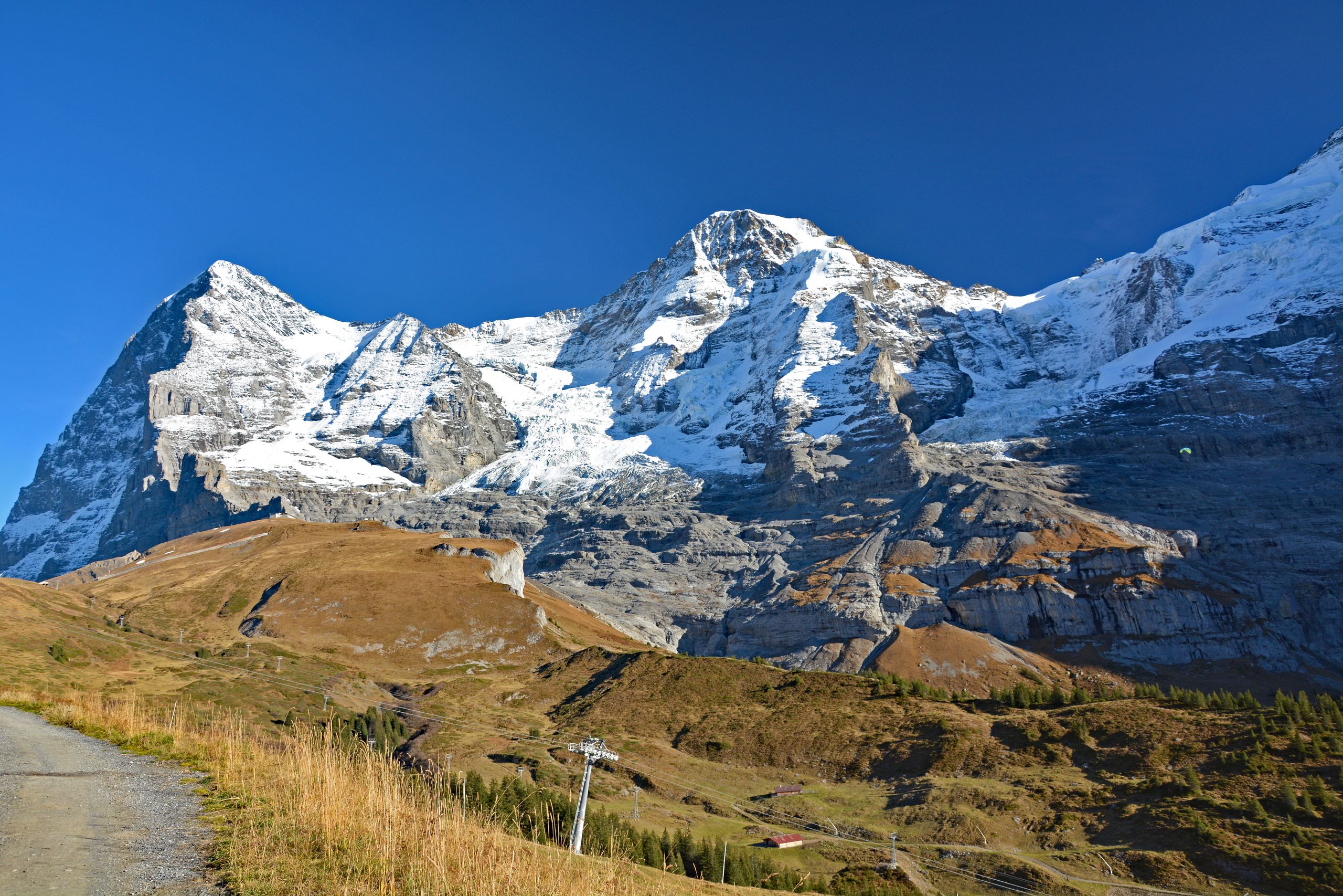
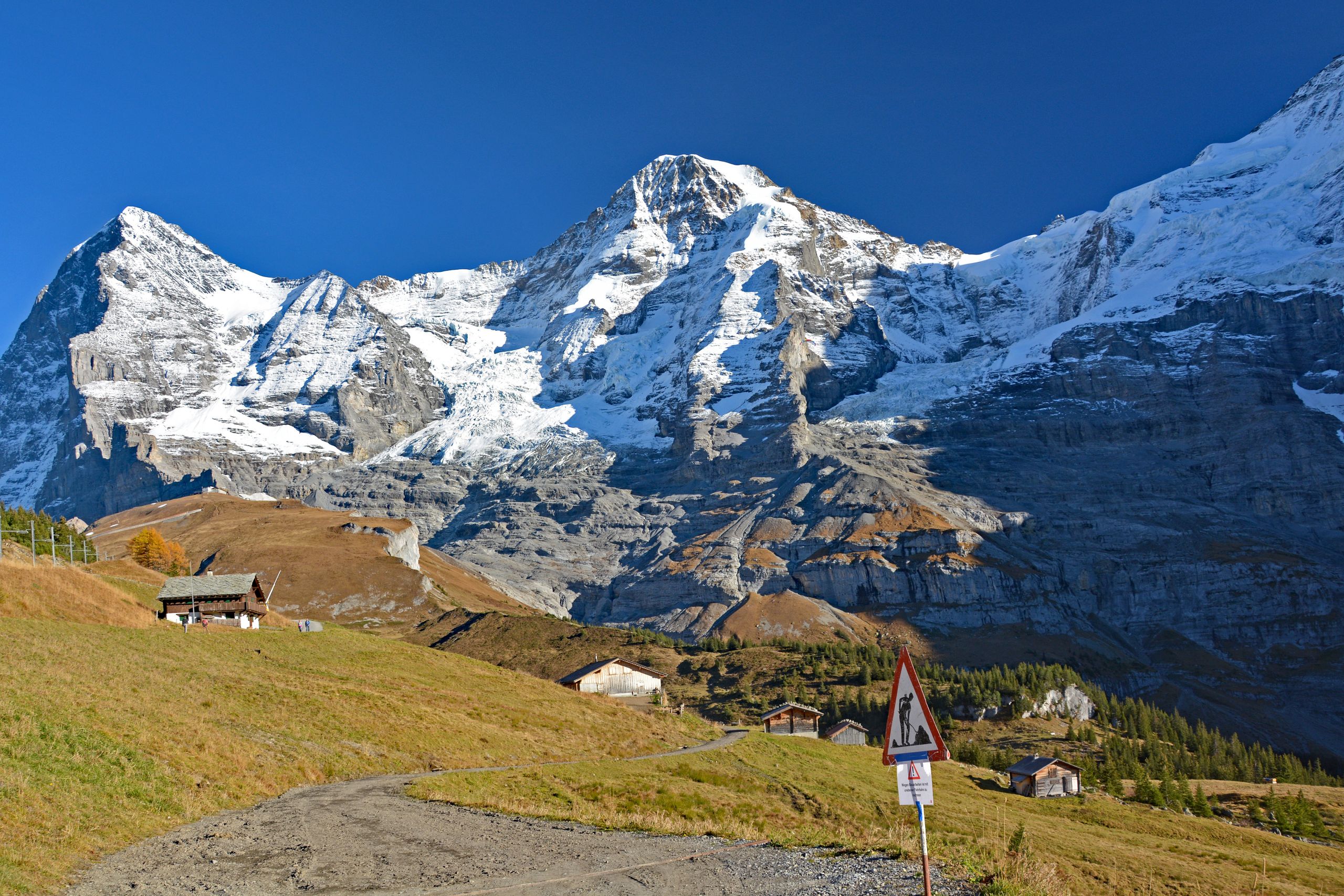
Without poles, yet with all the greater pride, I finally reached the mountain pass of Kleine Scheidegg at 2,061 meters after roughly 1,120 meters of elevation gain and nearly four hours of walking time. The exertion was instantly forgotten, for the high mountains presented themselves up here with an indescribable proximity and power. Above the warmly glowing, golden-yellow autumn grasses and the red facades with green window shutters of Hotel Bellevue des Alpes, the famous triumvirate towered close enough to touch. On the left rose the lightly snow-dusted, legendary Eiger North Face with the prominent rocky outcrop of the Eiger-Rotstock; next to it soared the massive, snow-armored Mönch, beneath whose northwest flank the wildly crevassed, blue-and-white ice masses of the Eiger Glacier spilled over the dark rock steps. Looking back over the jagged Mittellegi Ridge down into the Grindelwald Valley and across to the distant Wetterhorn truly made me realize how much distance and elevation I had left behind that afternoon.
Gallery 3: Summit Bliss on Kleine Scheidegg
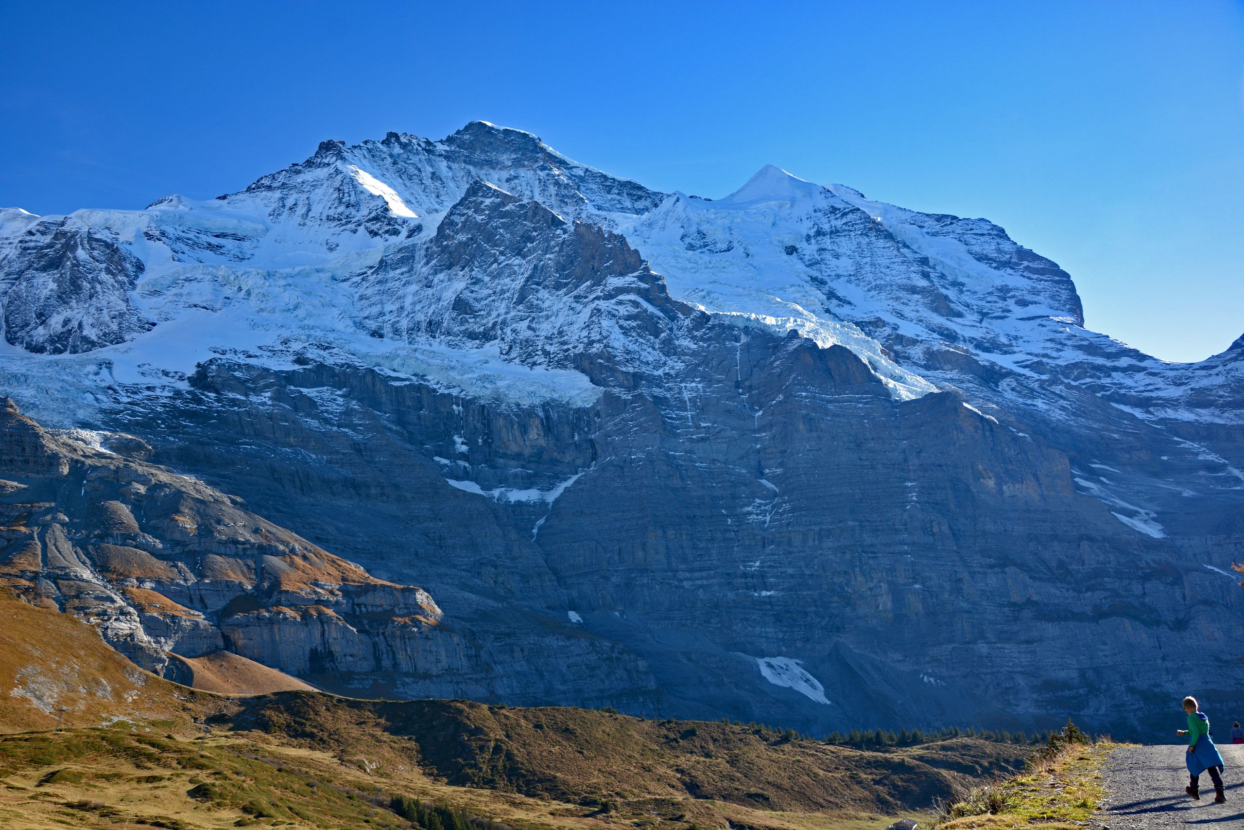
After an extended rest at the pass, I began the descent down to Wengen. No sooner had I stepped onto the western side of Kleine Scheidegg than a completely new, no less overwhelming panorama opened up. Before me rose the immense northwest face of the Jungfrau with its sheer, dark rock precipices, the mighty Guggi Glacier, and the gleaming white, flawless firn pyramid of the Silberhorn. The gravel hiking trail led me in the warm backlight of the afternoon sun past avalanche barriers and the shadowy rock walls of the Schwarzmönch down toward Wengernalp at 1,874 meters, while further back in the valley the snow-covered peaks of the Breithorn and Tschingelhorn already greeted from afar. A glance back revealed Eiger, Mönch, and Jungfrau now bathed in the finest afternoon light, before a few hundred meters farther on, the weather-beaten alpine huts and hay barns of Wengernalp lay like something out of a picture book in front of the snow-capped four-thousanders.
Gallery 4: Descent via Wengernalp with Views of the Jungfrau
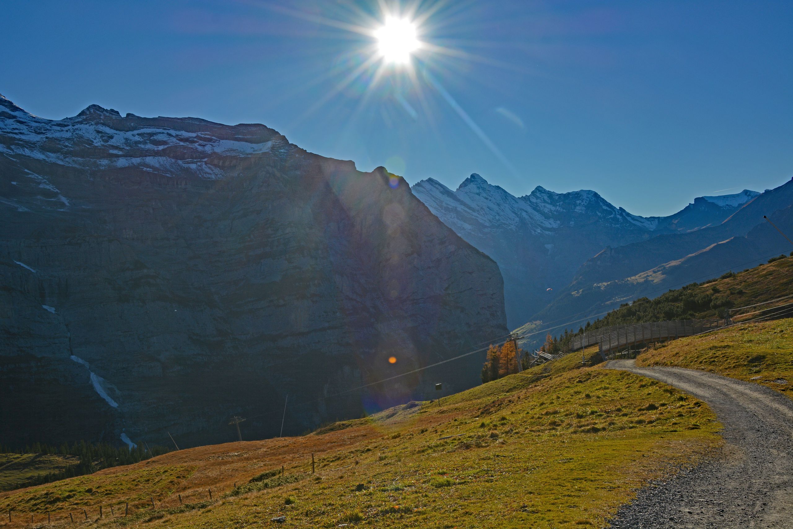
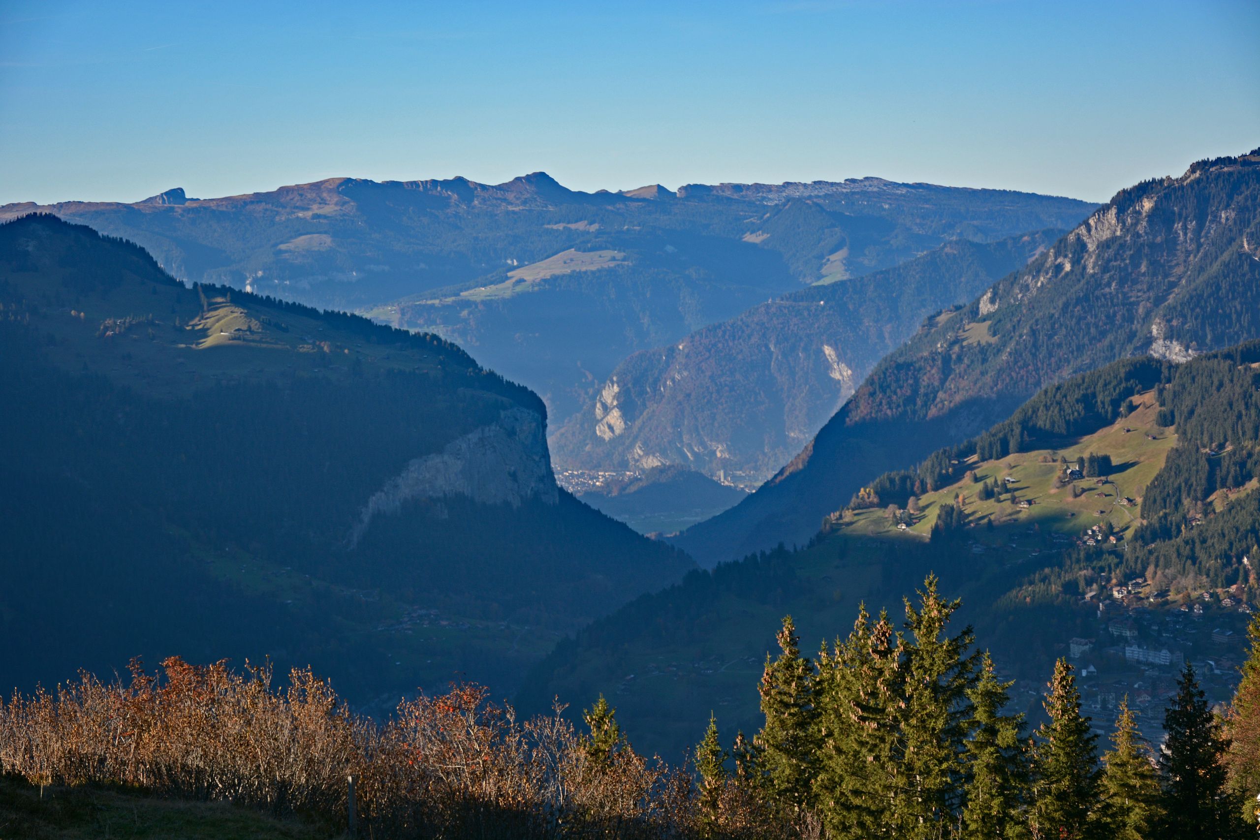
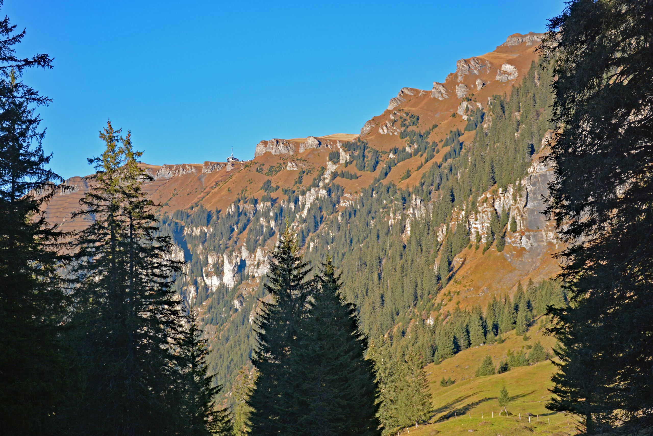
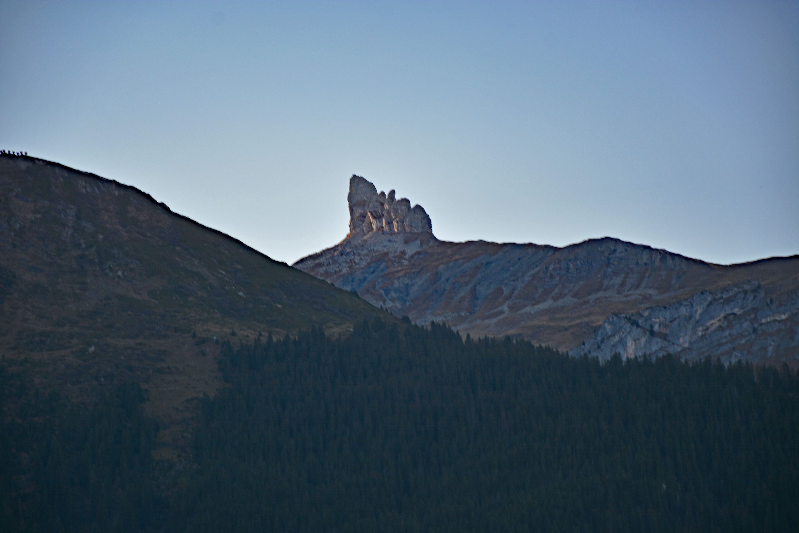
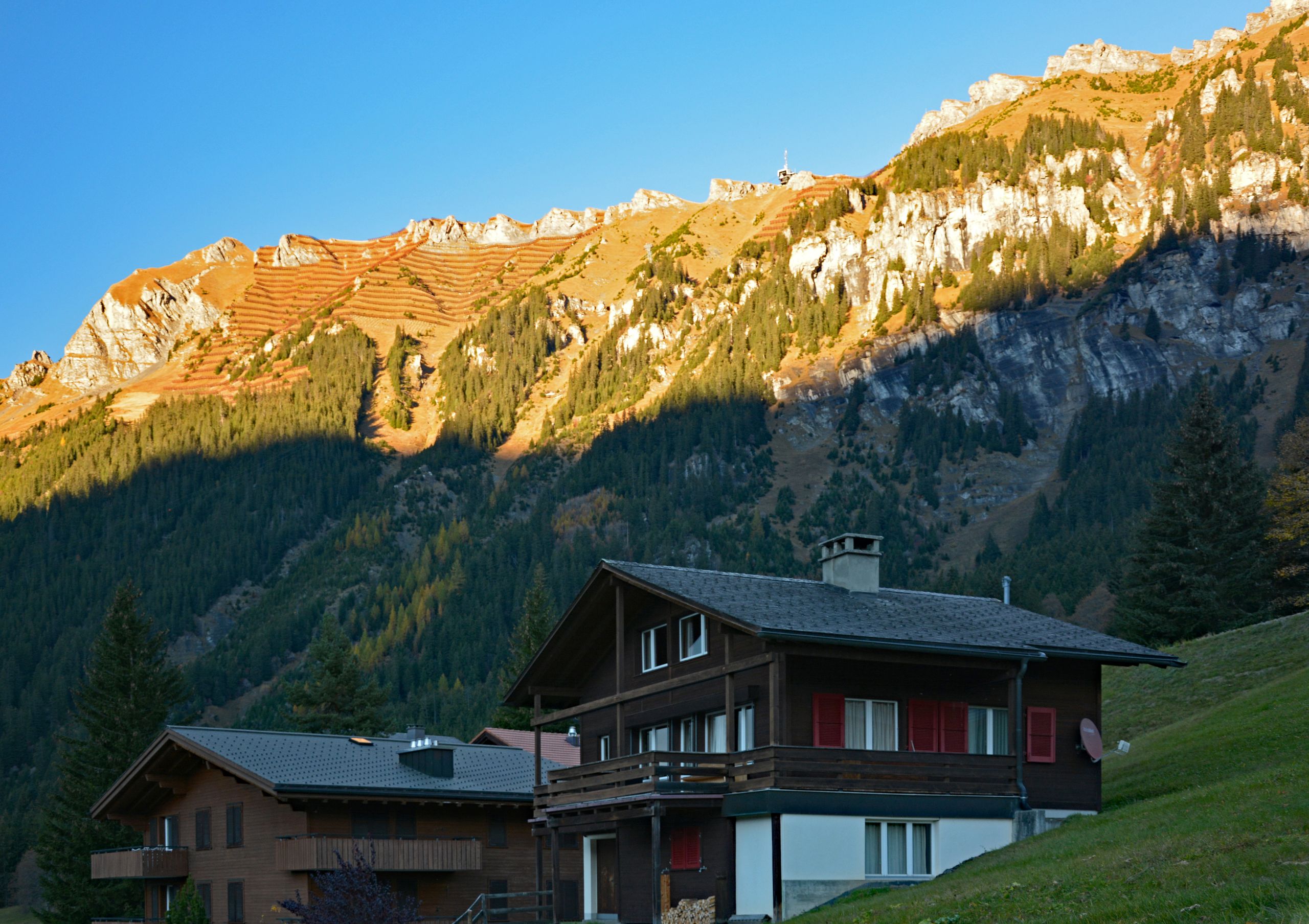
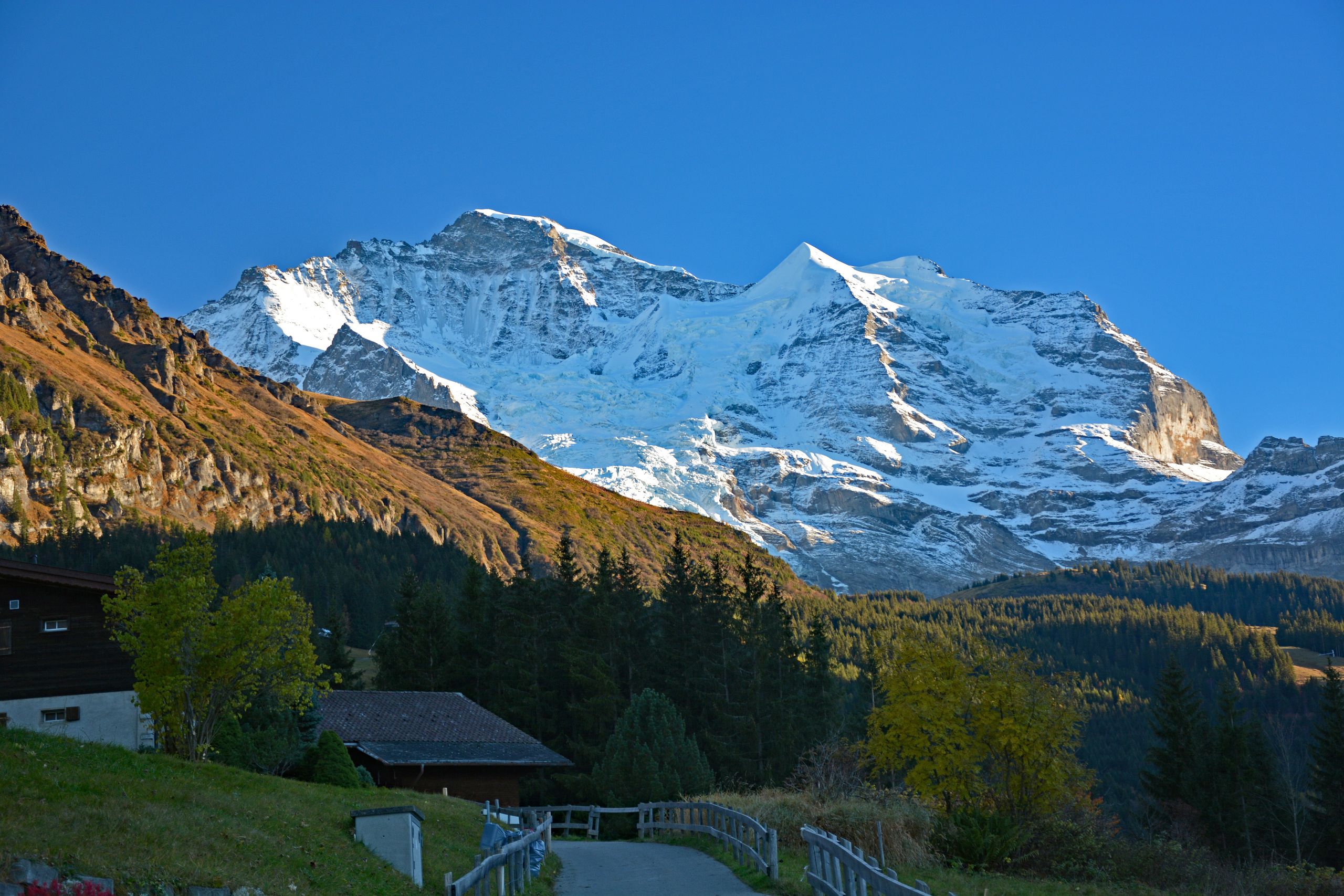
The deeper the trail descended via Allmend, the wider the view opened northward into the steeply carved Lauterbrunnen Valley. Above the autumn shrubs and dark treetops, the first houses of Wengen appeared below on the sunny terrace, opposite stood the sheer cliff face below Mürren and Grütschalp, and far in the distance in the blue afternoon haze lay the Interlaken region with the elongated ridge of Niederhorn and Güggisgrat. On the other side, the steep slopes of the Männlichen—streaked with rock bands and avalanche barriers—along with the top station of the aerial cableway glowed in the late evening sun, while the traditional Swiss wooden chalets of Wengen with their red shutters already rested in peaceful shadow. When the very last rays of the day finally tinted the sharply jagged rocky pinnacles of the Lobhörner on the opposite side of the valley a soft red, and I looked up one last time from a quiet village path toward the gleaming white massif of Jungfrau and Silberhorn, I reached my destination in Wengen at 1,274 meters after a total of roughly 16.5 kilometers and a good six hours of walking time. All initial weather doubts from that morning in Aarau had long since vanished—what remained was the memory of an exhausting yet unforgettable autumn day in the Bernese Alps.
Gallery 5: Arrival in Wengen and Golden End to the Day
Tour Data at a Glance
- Date and Start: October 30, 2016, train departure at 9:00 a.m. from Aarau, hike start at 12:00 p.m. in Grindelwald Grund (943 m a.s.l.)
- Section 1 (Grindelwald Grund – Kleine Scheidegg, 2,061 m): approx. 9.5 km | ↑ approx. 1,120 m / ↓ approx. 20 m | Walking time: approx. 3 hrs 45 min – 4 hrs (key waypoints: Brandegg 1,332 m, Alpiglen 1,616 m)
- Section 2 (Kleine Scheidegg – Wengen, 1,274 m): approx. 7.0 km | ↑ approx. 10 m / ↓ approx. 790 m | Walking time: approx. 2 hrs 15 min – 2 hrs 30 min (key waypoints: Wengernalp 1,874 m, Allmend 1,508 m)
- Total Tour: approx. 16.5 km | ↑ approx. 1,130 m / ↓ approx. 810 m | Pure walking time: approx. 6 hrs – 6 hrs 30 min