
August 11, 2023
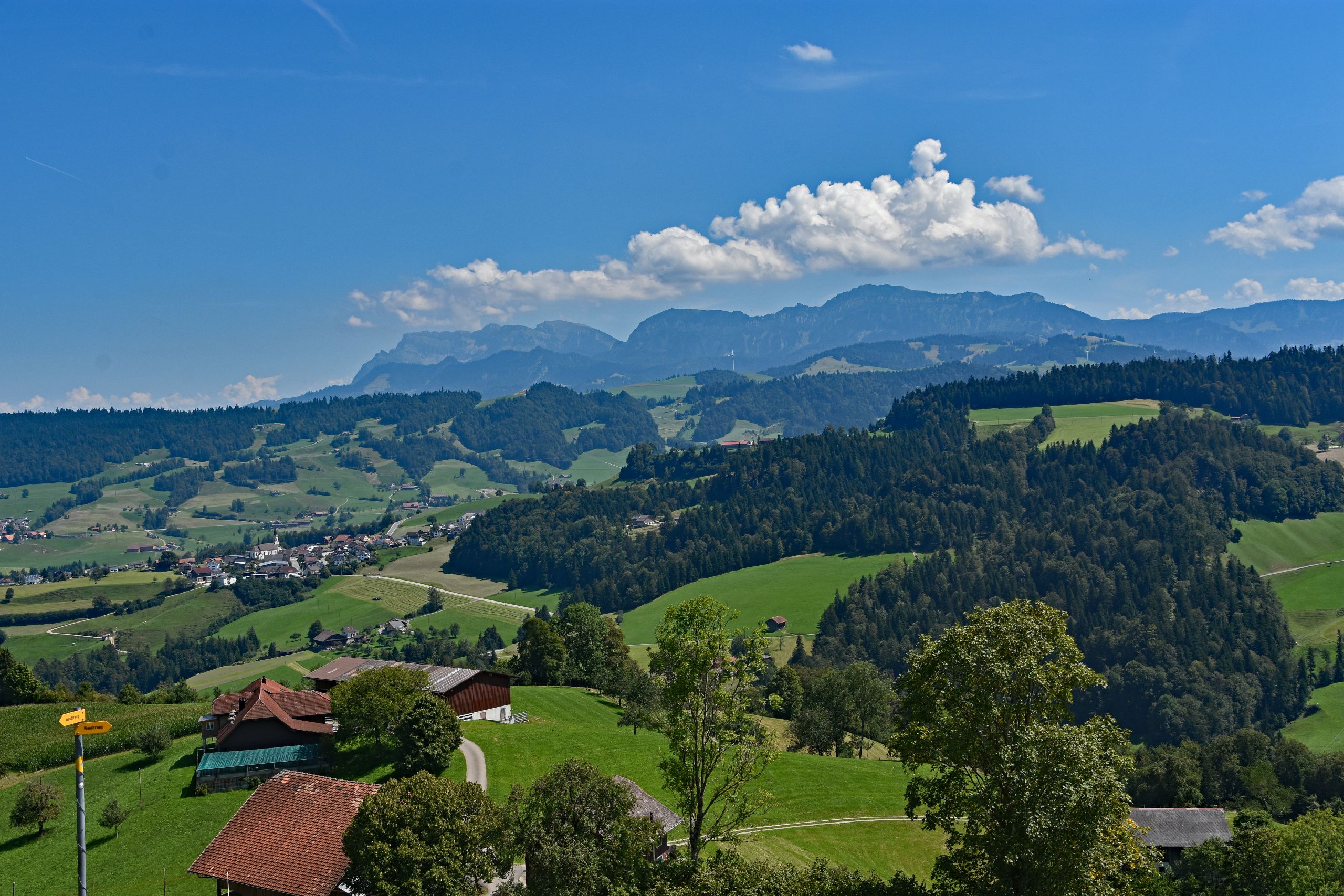
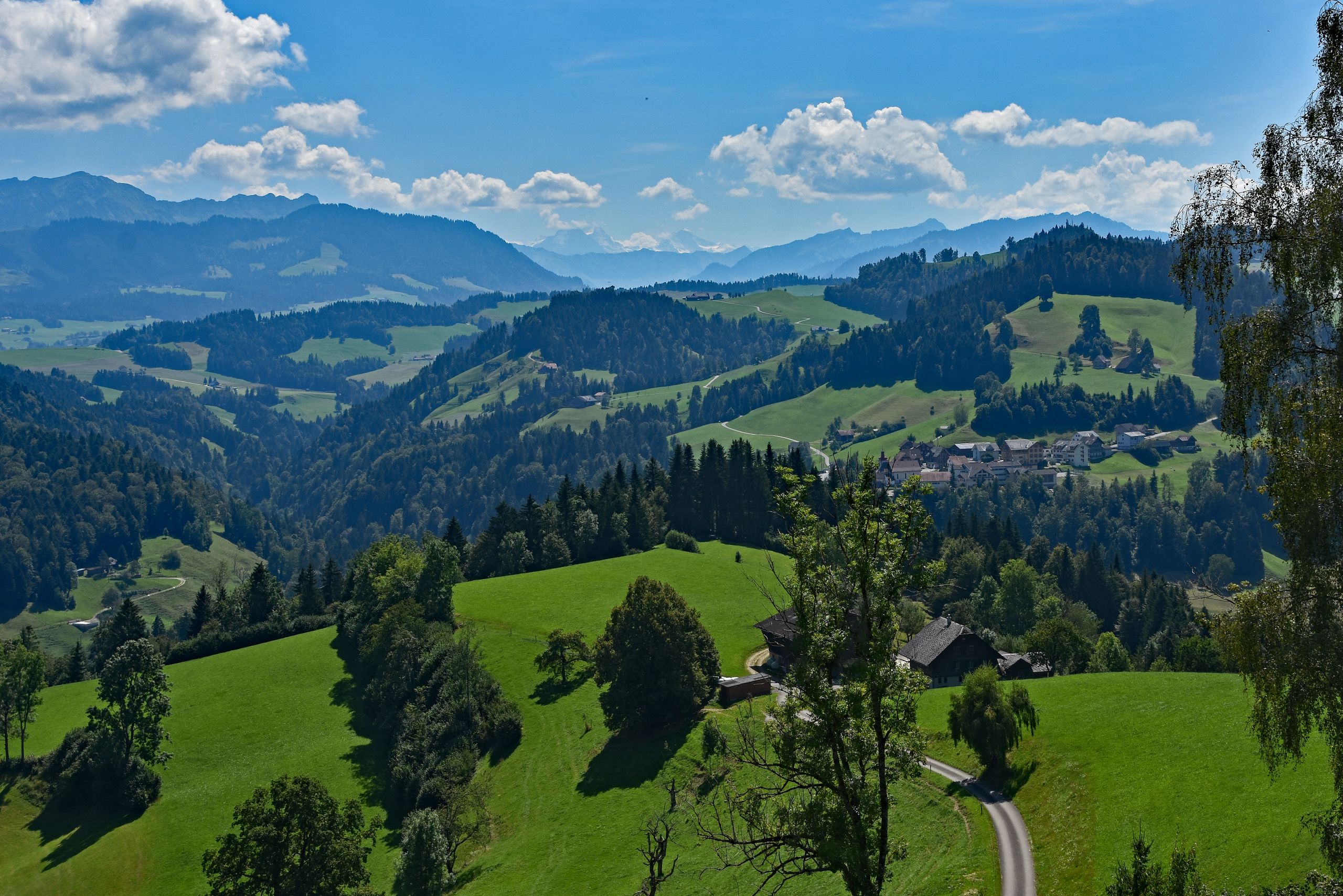
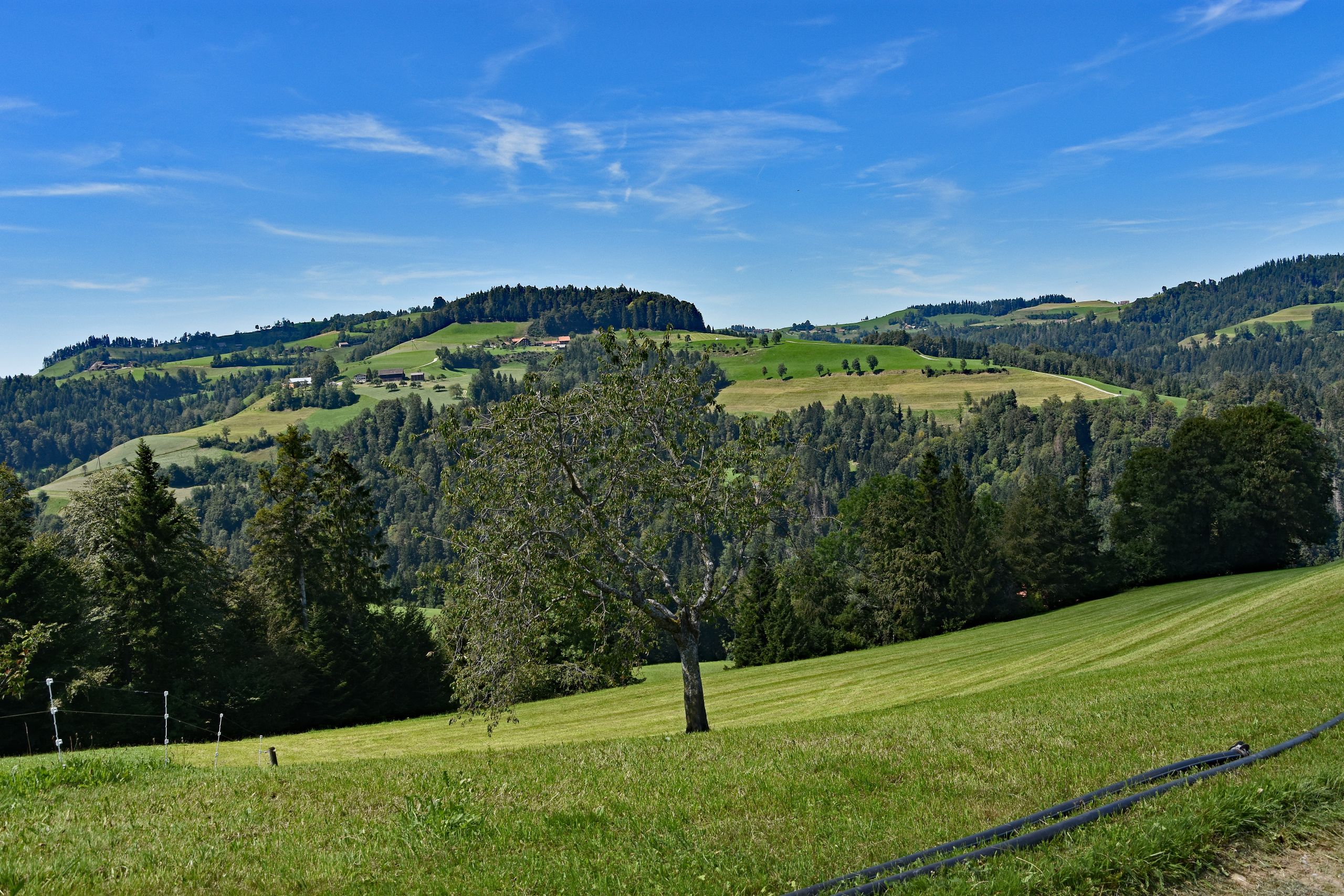
A radiant August morning welcomes me in the tranquil village of Röthenbach im Emmental. The air is crisp, a deep blue sky arches over the gently rolling ridges, and only a few scattered cumulus clouds drift across the landscape. Shortly after setting off toward Chuderhüsi, the vast, almost unreal green scenery captivates me. At my first vantage point, I pause to take in this breathtaking panoramic view. In the foreground, a yellow hiking signpost points the path uphill, while deep down in the valley, the village of Röthenbach with its distinctive church and stately Bernese farmhouses nestles into the lush meadows. Yet the true eye-catcher sits on the horizon: rising out of the vibrant green pre-Alps like a massive, light-gray limestone wall is the Schrattenfluh. Its elongated, rugged rocky flanks shimmer in cool shades of blue and gray in the morning light, creating a fascinating contrast to the soft, dark-green forested hilltops of the Emmental. Shifting my gaze slightly, the broad, densely wooded massif of the Napf comes into view on the left, its dark fir forests looking like a velvety carpet. Further to the right, behind the small hamlet of Würzbrunnen, the distance opens up all the way to the glaciated peaks of the Central Swiss and Bernese Alps, shimmering like delicate white spikes on the horizon in the fine summer haze.
Gallery 1: Panoramic Views Above Röthenbach im Emmental
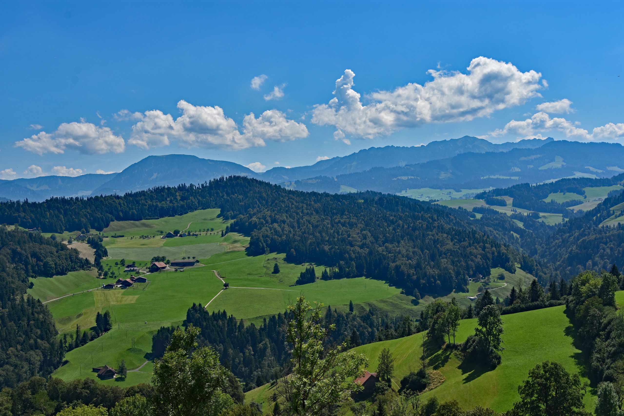
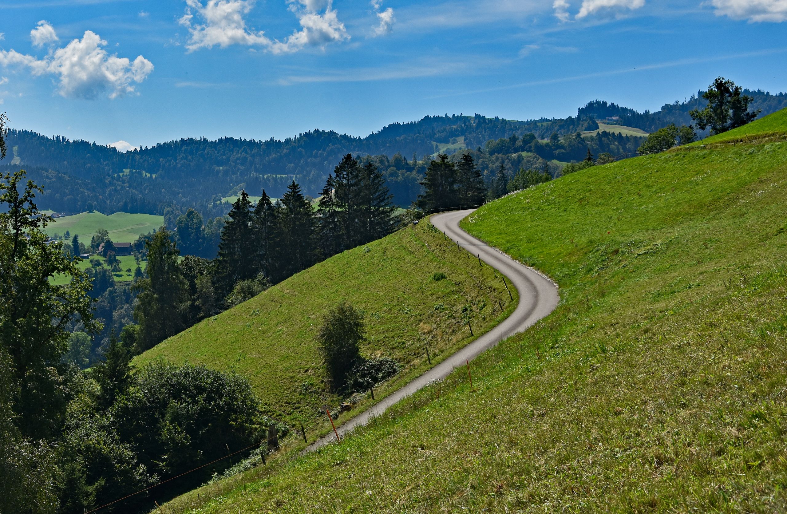
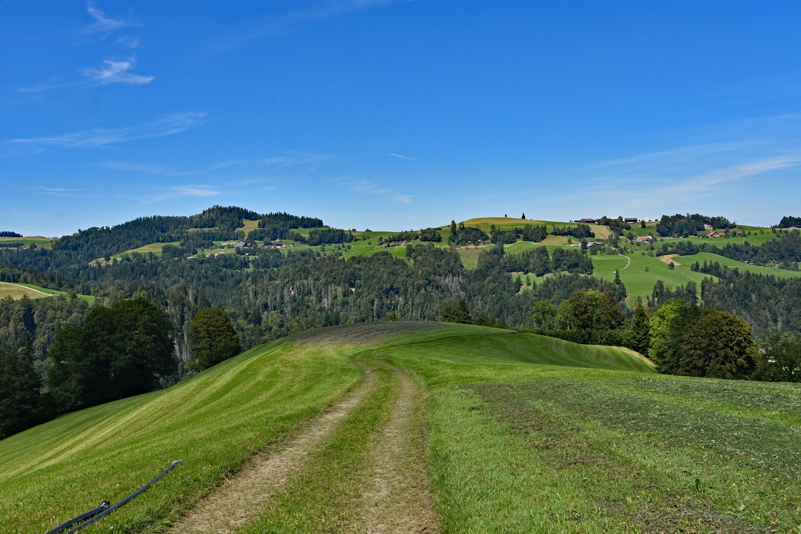
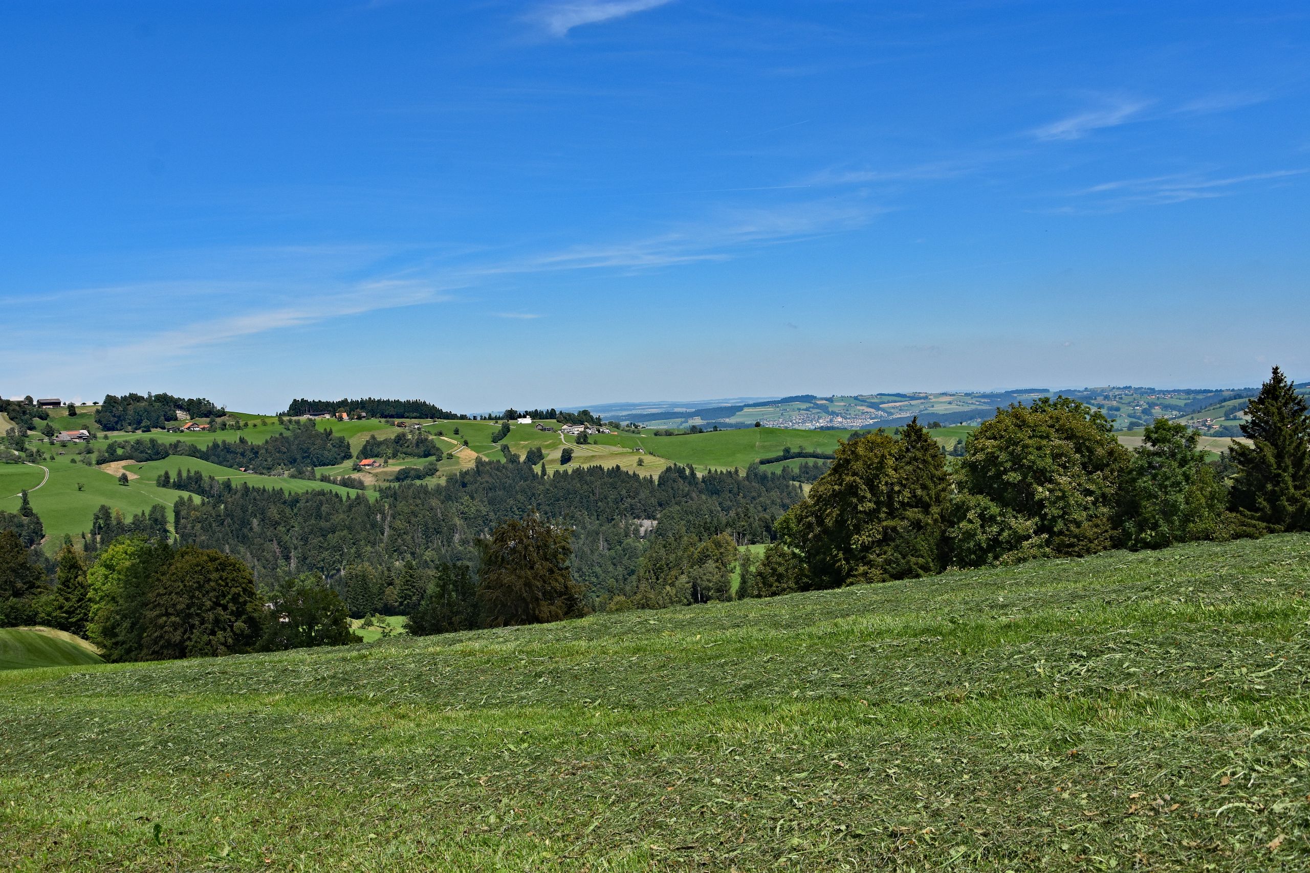
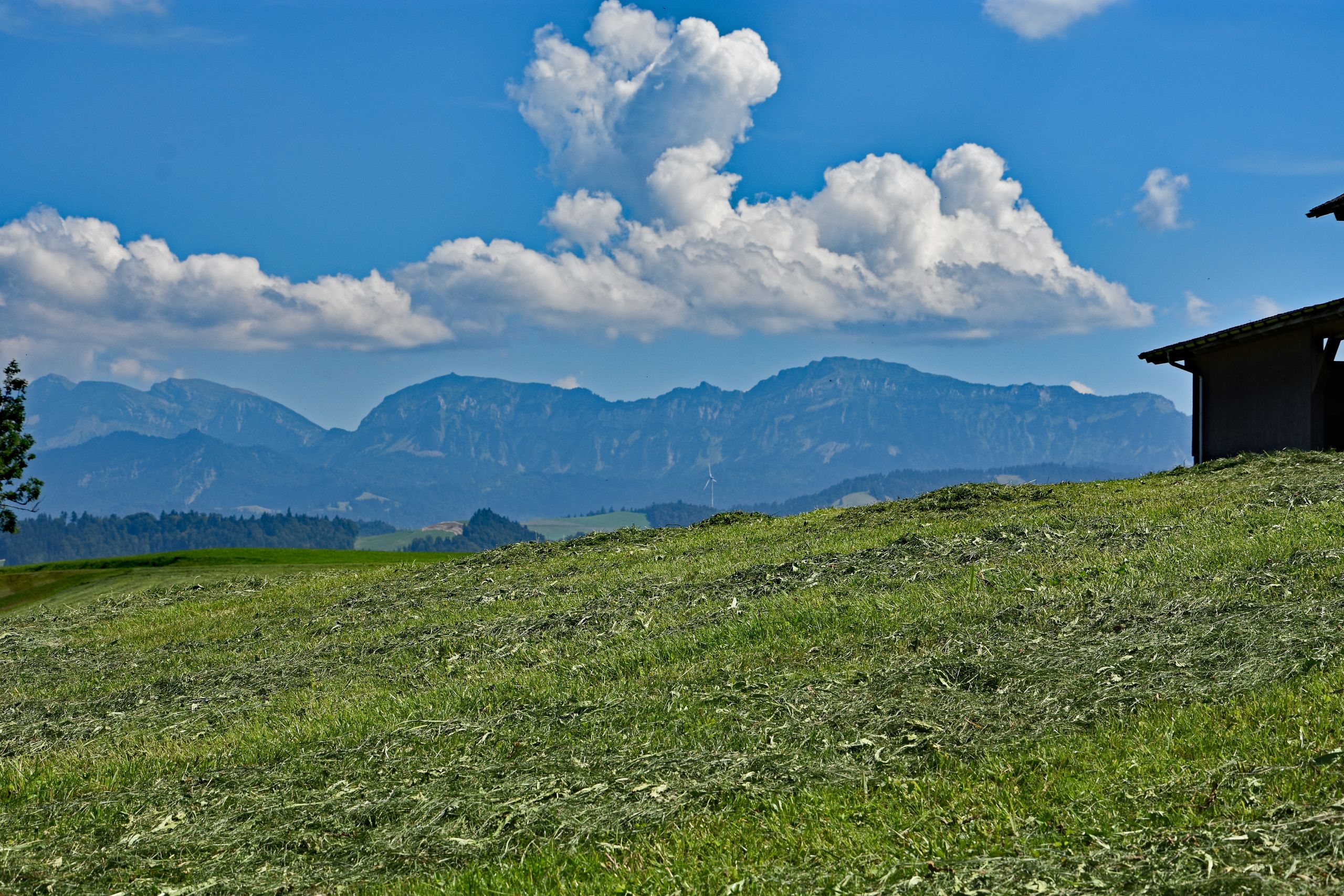
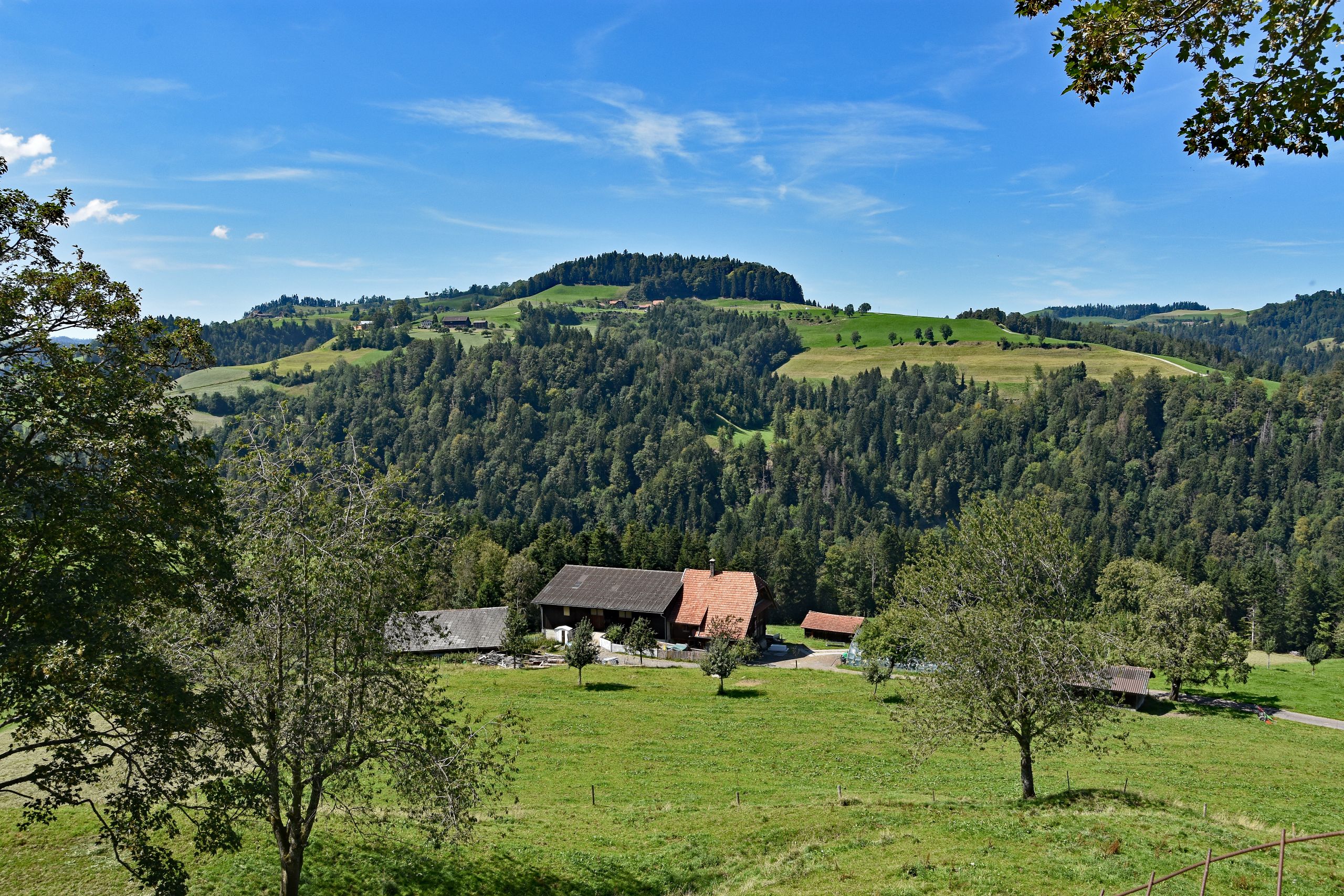
The trail now winds its way gracefully uphill on a narrow paved lane along the steep, sun-drenched meadow slopes. Up on the open ridge, a soothing silence settles in. Freshly mown, bright green pastures and solitary, gnarled fruit trees dominate the scenery here. The gently undulating hilltops look straight out of a picture book, and the scent of freshly cut hay hangs heavy and sweet in the warm summer air. As I follow a narrow two-track meadow path over the crest of the hill, the horizon widens toward the west. Looking out across the deeply incised, dark-green wooded valleys of the Emmental, the view sweeps all the way into the broad Aare Valley and the adjacent Swiss Plateau, fading into the bright sunlight. Yet turning around immediately draws all attention back to the Schrattenfluh: towering over the freshly mown meadows and the dark roof of a farmhouse, mighty, dazzling white cumulus clouds have now piled up above its jagged, gray-blue rocky ridge—an impressive interplay of mountain massif and summer sky.
Gallery 2: Across Sunny Ridges and Freshly Mown Hay Meadows
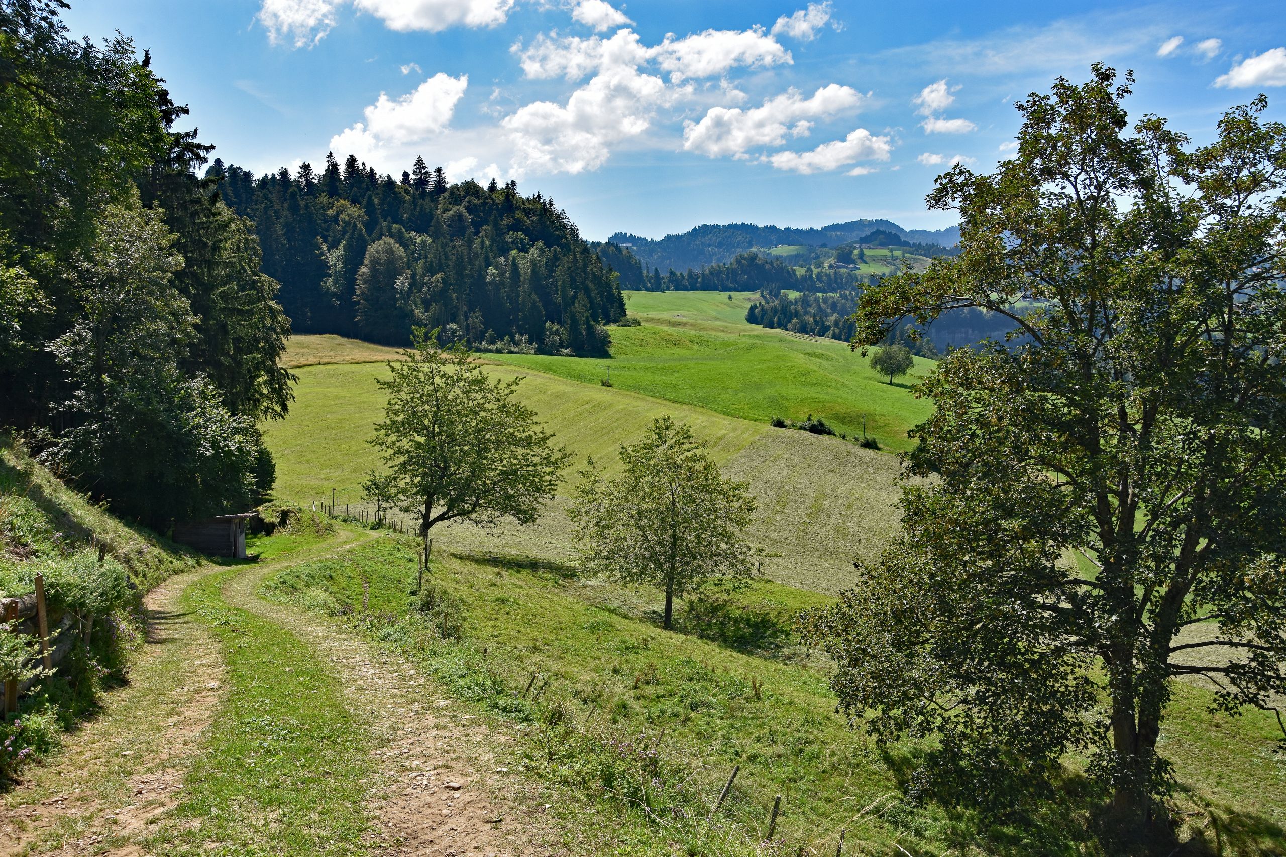
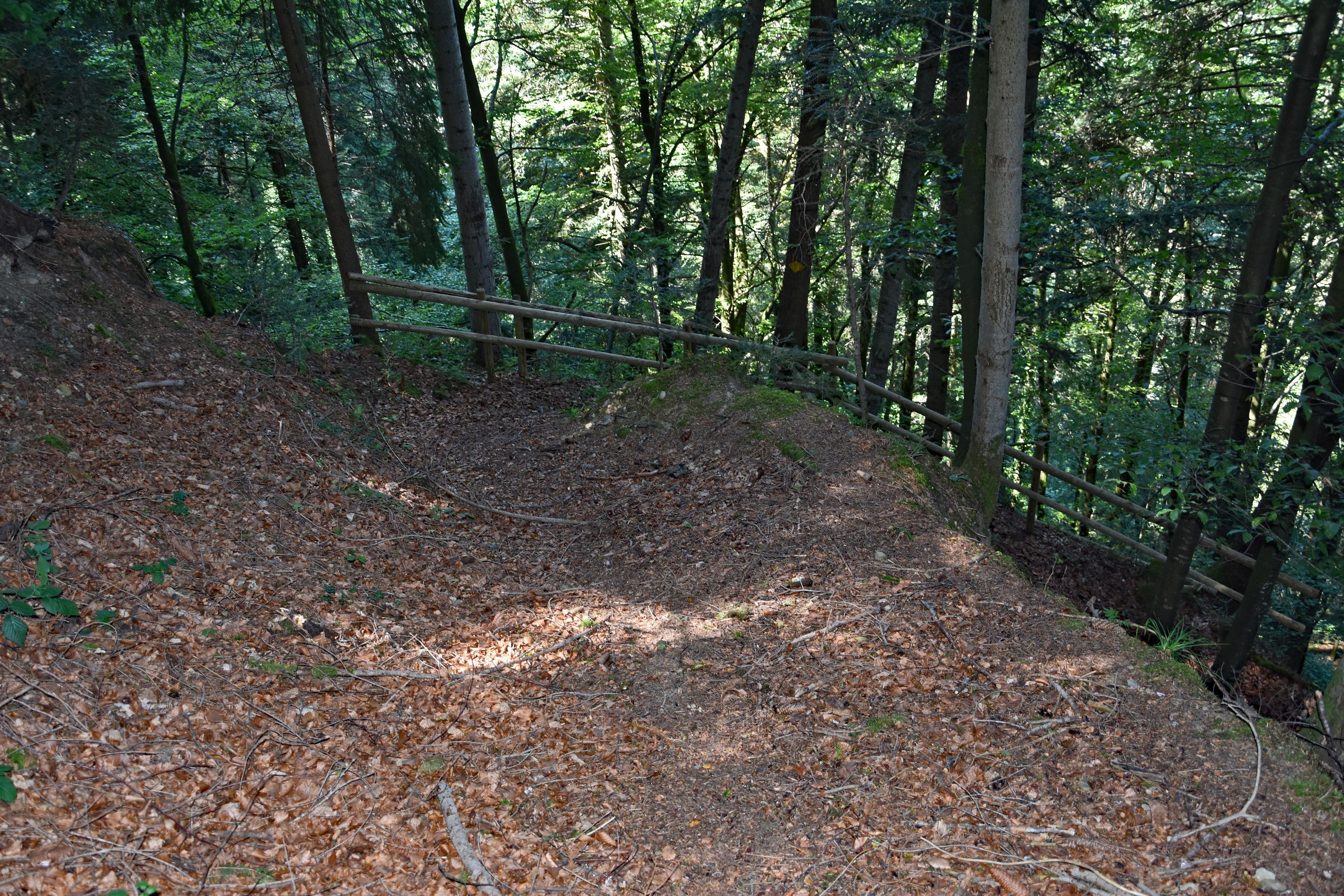
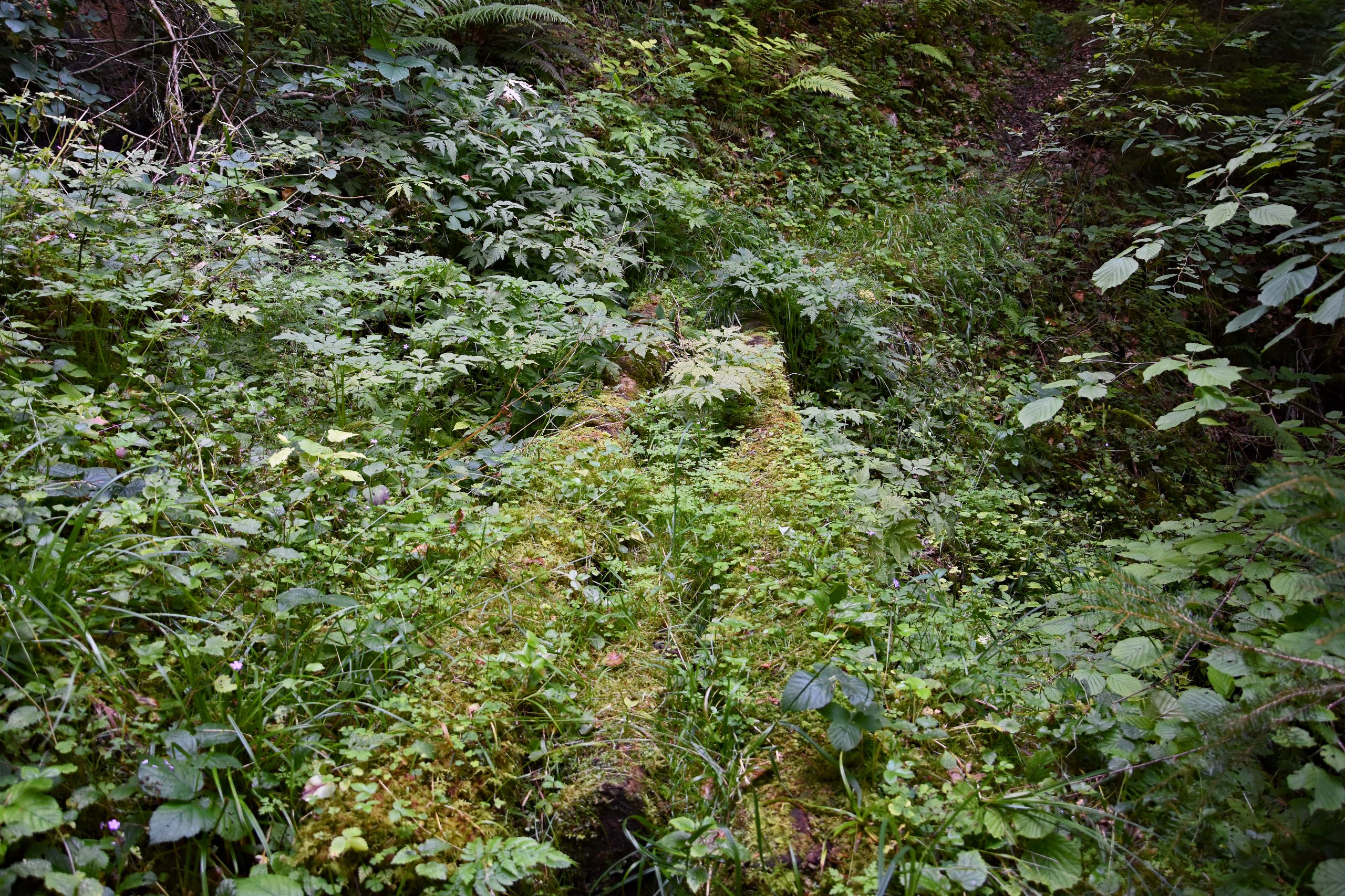
Soon after, the hiking trail leaves the open hilltops behind and dips into the characteristic ups and downs of the Emmental hills. A grassy dirt track leads past a small wooden hut and huge, sunlit deciduous trees along the edge of the forest. Time and again, clearings open up views into deeply carved ravines and across to opposite ridges, where traditional farmhouses with sweeping, low-hanging roofs cling to the slopes. Then the scenery changes abruptly: the path plunges deep into a shady, cool forest ravine. Up above, bright sunlight reigns, while down in the gorge, an almost mystical forest stillness envelops me. A rustic wooden railing secures the narrow path, thickly carpeted with rustling brown leaves along the steep embankment. Further down on the damp forest floor, blackberry brambles, ferns, and nettles grow lushly, while a fallen tree trunk disappears beneath a thick, emerald-green layer of moss—a small, untouched natural paradise tucked away from the sunny heights.
Gallery 3: From the Sunny Forest Edge Down into the Shady Ravine
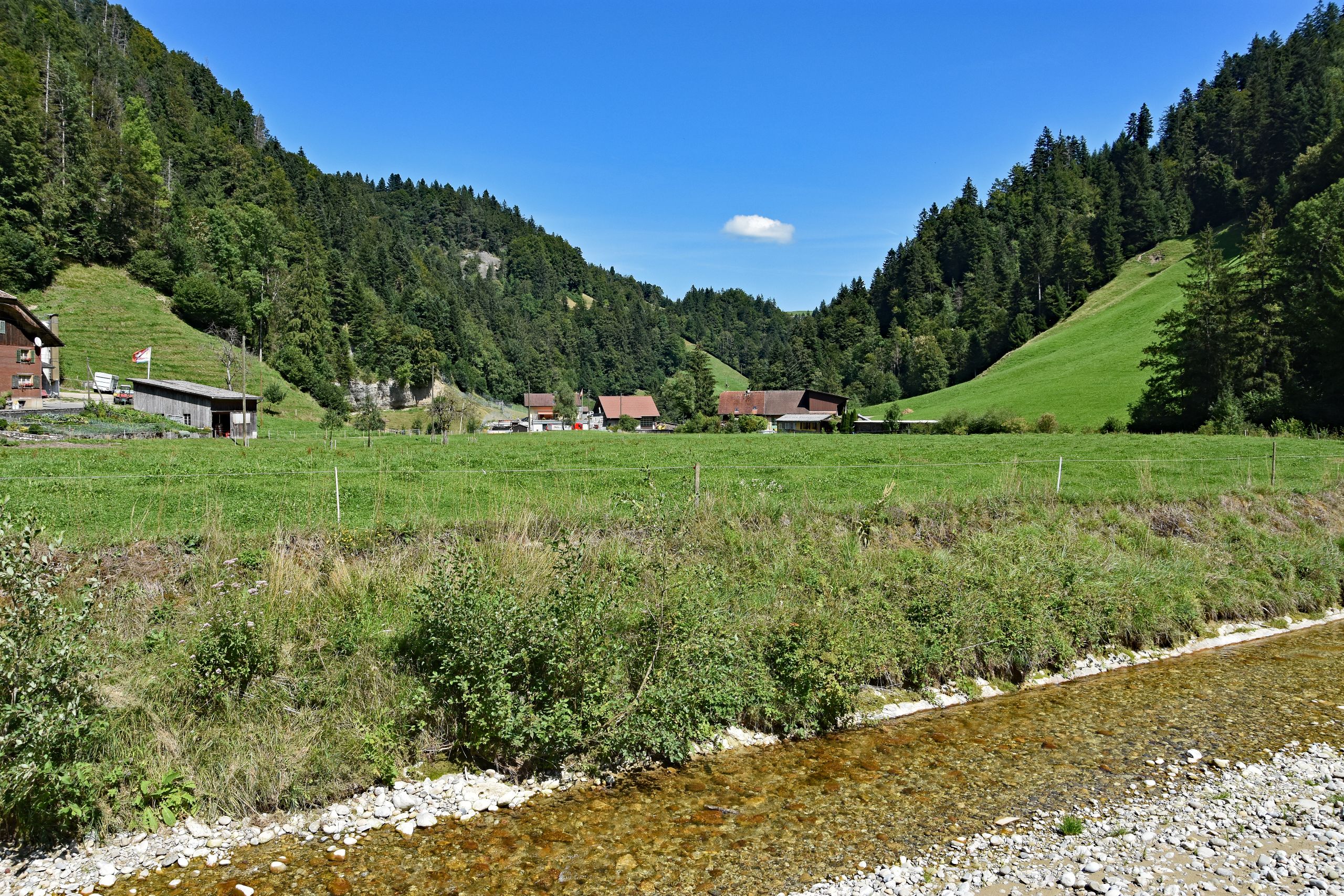
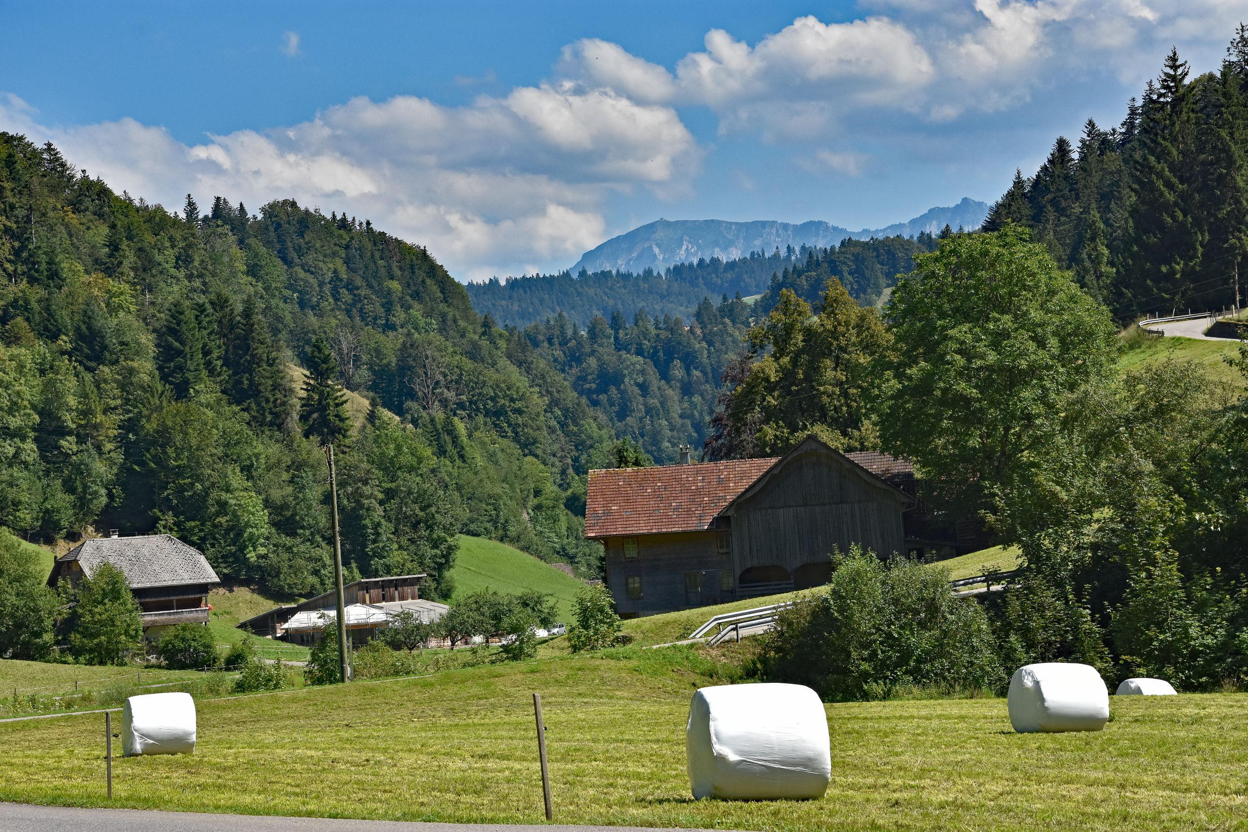
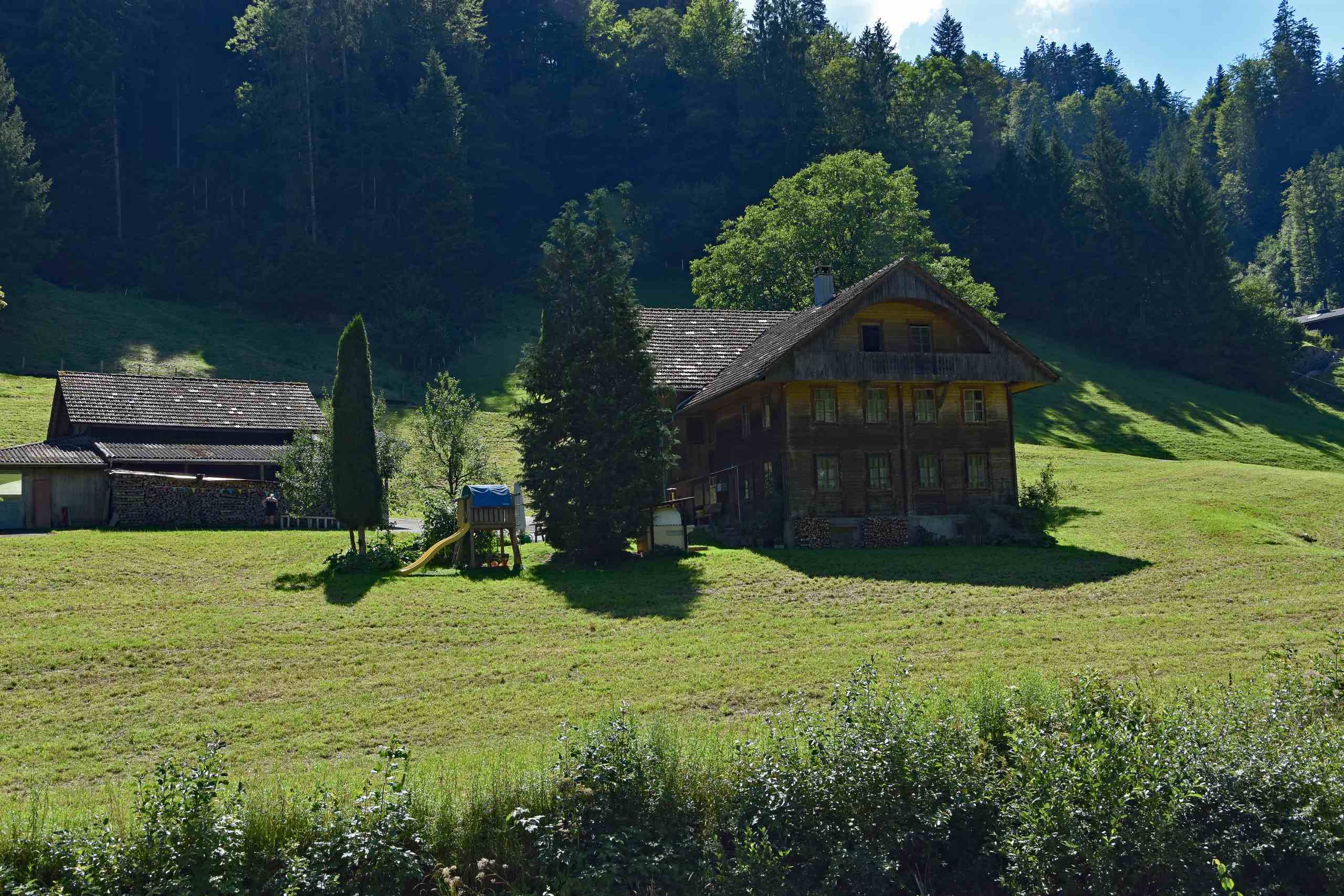
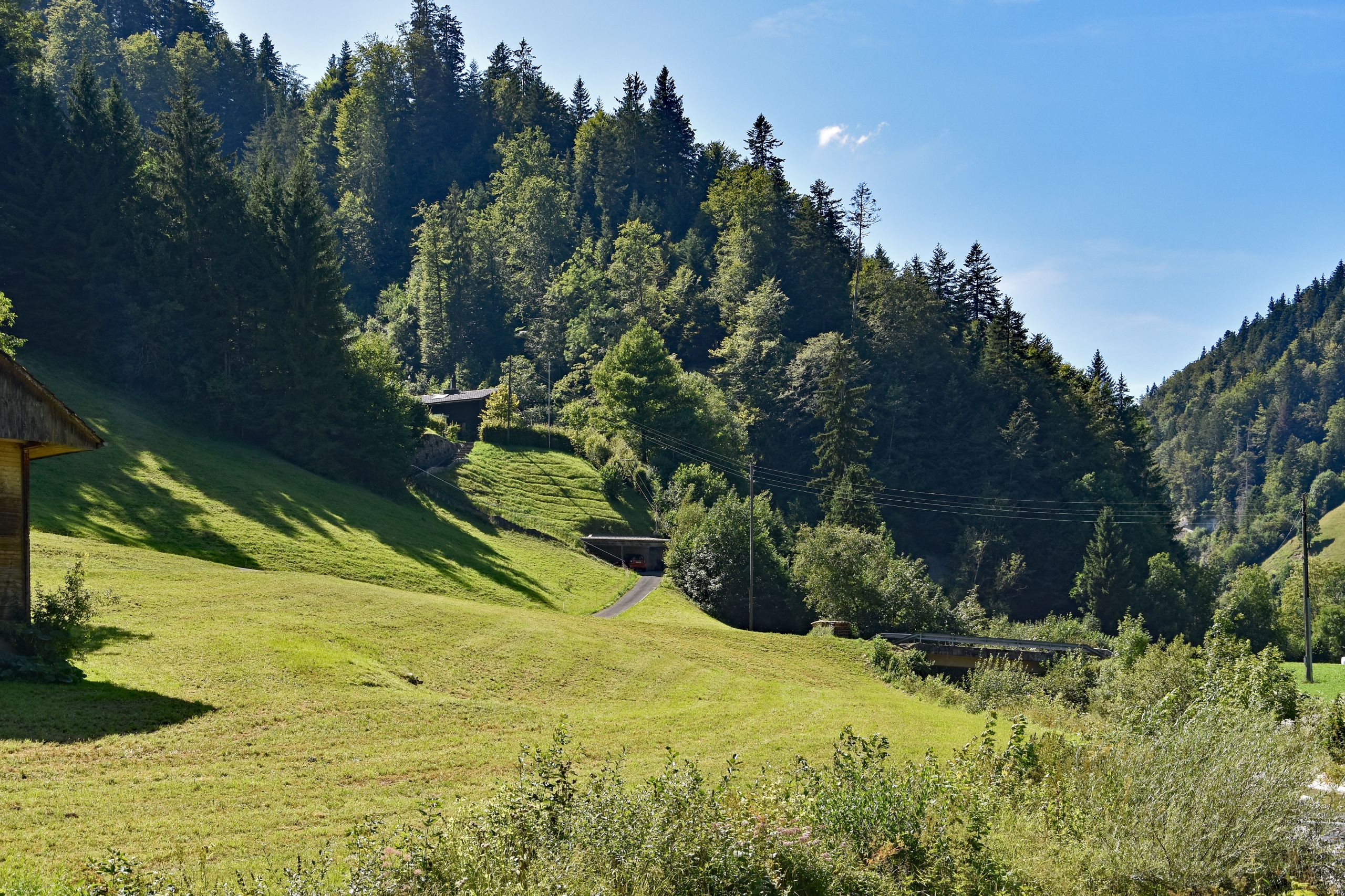
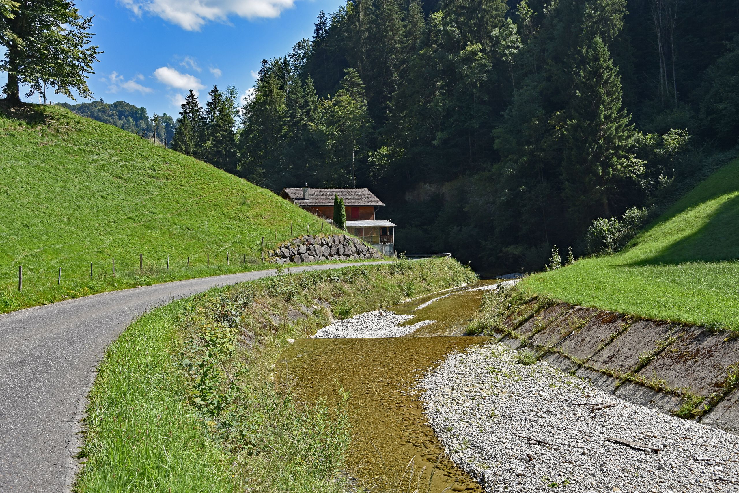
When the narrow forest ravine finally opens up again, the warm afternoon light welcomes me into a picturesque, V-shaped valley floor. Here, a crystal-clear stream babbles over light pebbles and brownish shimmering gravel, bordered by lush green pastures dotted with white silage bales. Between the steep slopes densely covered with dark firs, the bluish rock face of the Schrattenfluh peeks through one last time in the distance, as if bidding me farewell on the final stretch. Lining the stream are beautiful old Emmental farmsteads made of dark, weathered wood, with stacked firewood beneath their wide eaves and curved gables. The low sun bathes the meadows in a golden green and makes the trees cast long shadows. Accompanied by the gentle murmur of the clear gravel stream winding past dry-stone walls and quiet wooden houses beside a narrow country lane, this memorable summer hike comes to a peaceful close.
Gallery 4: Through the Sunny Valley Ravine Along the Clear Gravel Stream
Info Box: Tour Data & Stages (Röthenbach i.E. – Chuderhüsi)
- Date: August 11, 2023
- Starting Point: Röthenbach im Emmental (approx. 820 m a.s.l.)
- Stage 1 – Ascent to the Ridges: From Röthenbach i.E. past the scenic viewpoints toward Würzbrunnen and across the open meadow ridges (approx. 980 m a.s.l.).
- Stage 2 – Through the Gorges and Ravines: Descent via shady forest paths and moss-covered ravines down to the valley floor along the gravel stream (approx. 850 m a.s.l.).
- Stage 3 – Final Climb Toward Chuderhüsi: Past the farmhouses in the valley ravine up to the ridge near Chuderhüsi (approx. 1,100 m a.s.l.).
- Total Elevation Gain/Loss: Approx. 420 m ascent / approx. 140 m descent (depending on the chosen trail variant).
- Character: Varied pre-Alpine hike along meadow paths, narrow country lanes, and shady forest trails with magnificent views of the Schrattenfluh and the Napf.