
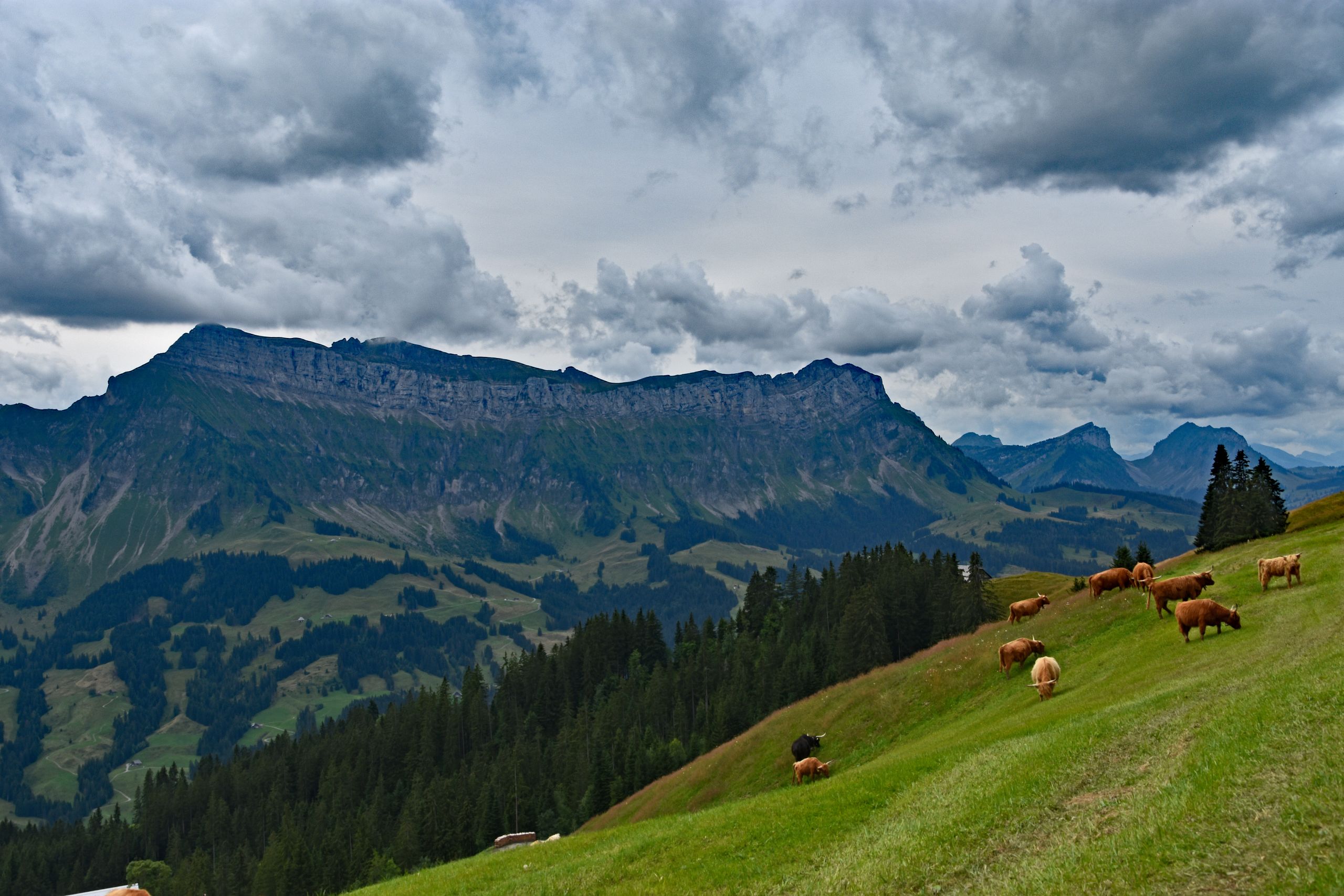
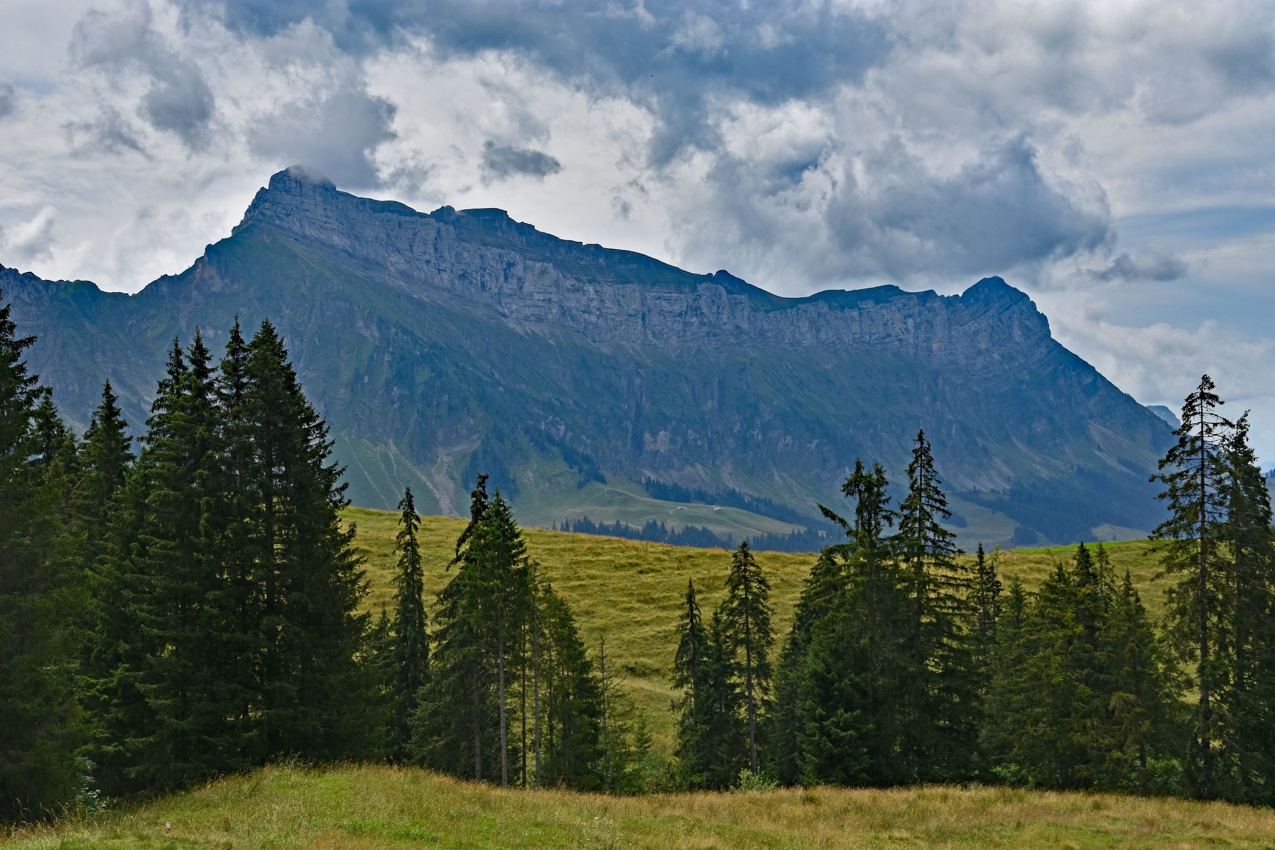
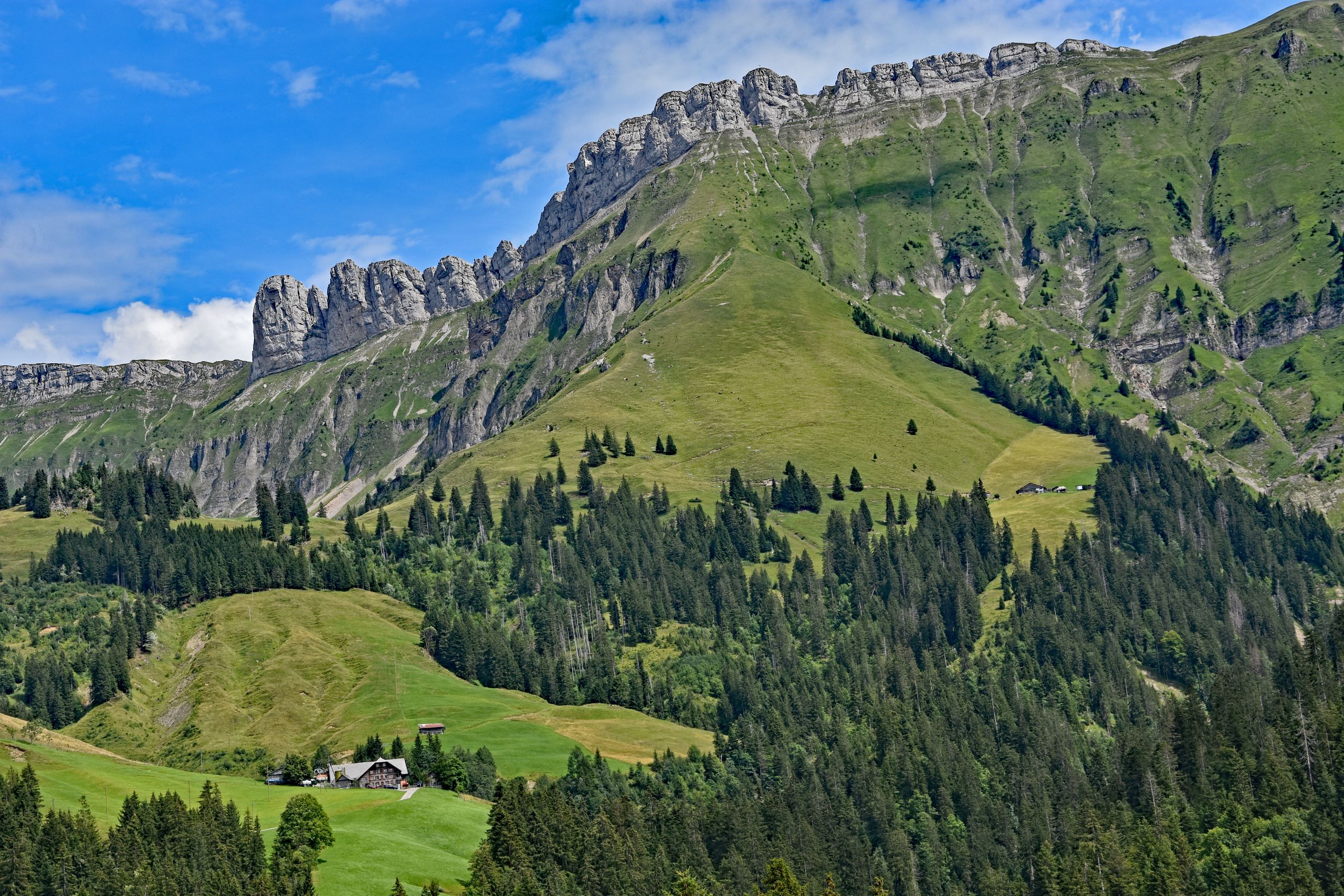
August 11, 2023, began in a completely relaxed way in Marbach. Instead of struggling uphill right from the start, I let the gondola carry me comfortably up to Marbachegg. Arriving at the top, the vast, impressive mountain world of the Entlebuch immediately opened up before me. Opposite, the mighty Schrattenfluh rose like a stone fortress out of the lush green alpine pastures. Its light gray, rugged limestone walls shimmered in the August sunlight, while dense clouds drifted across its elongated, jagged ridge. At my feet, shaggy Highland cattle grazed peacefully on the steep slopes, and my gaze wandered along the massive rock formation over to the striking, pointed rock nose of the Schibengütsch. A narrow meadow path led me out into this quiet landscape, past scattered alpine farms and deep green fir forests that lent their dark, calming color to the gently rolling pre-Alpine hills.
Gallery 1: Setting Out on Marbachegg with Views of the Schrattenfluh
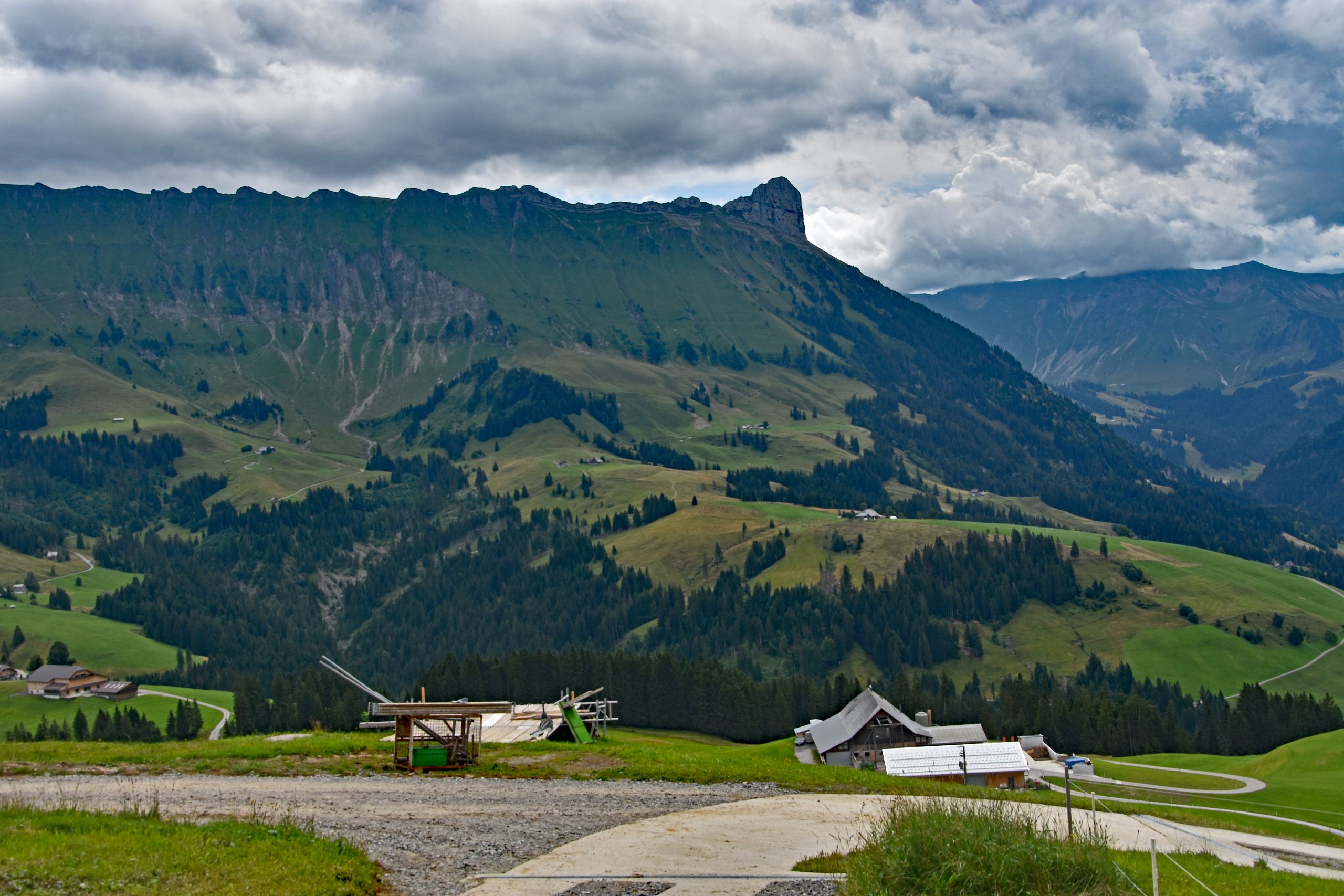
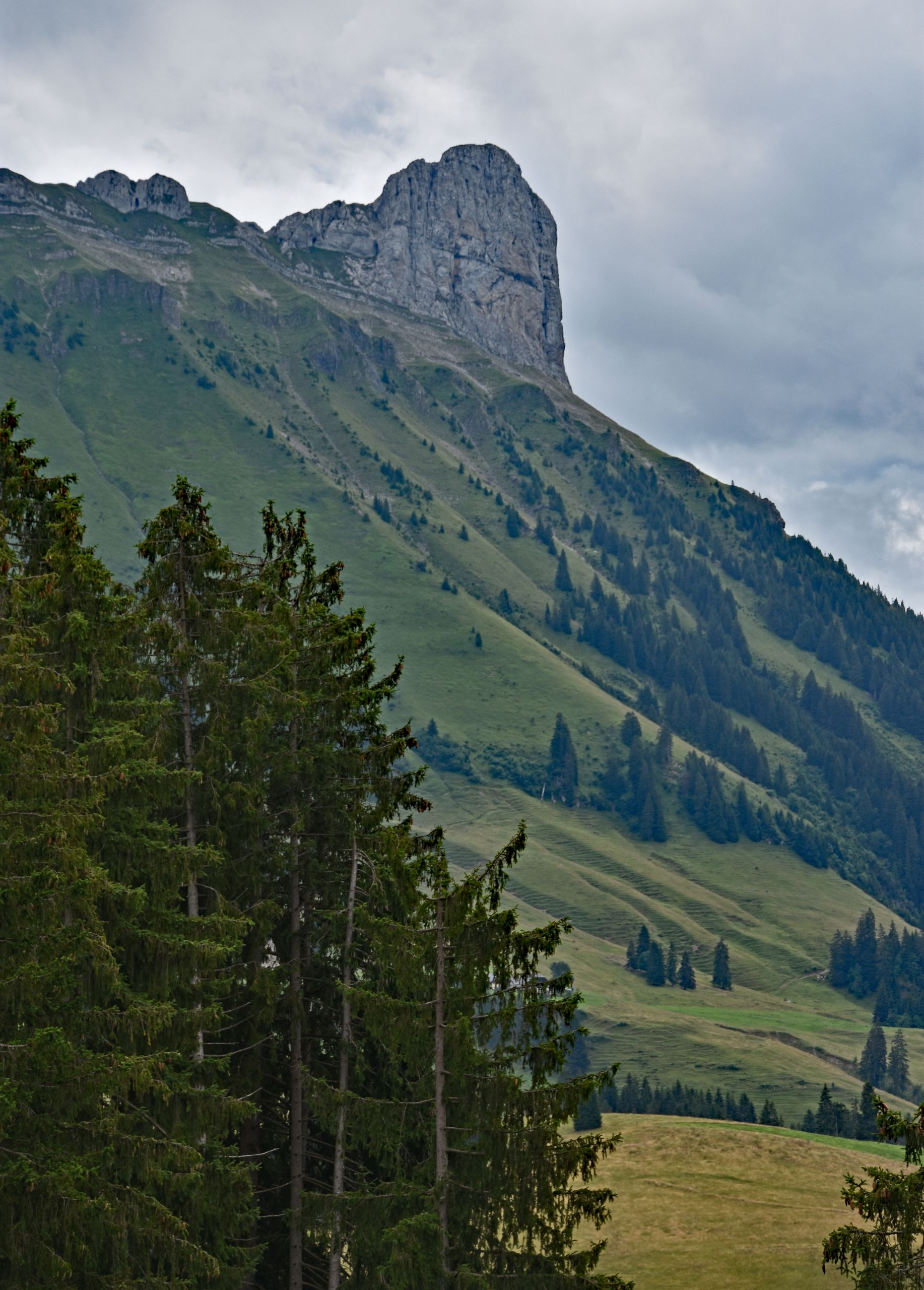
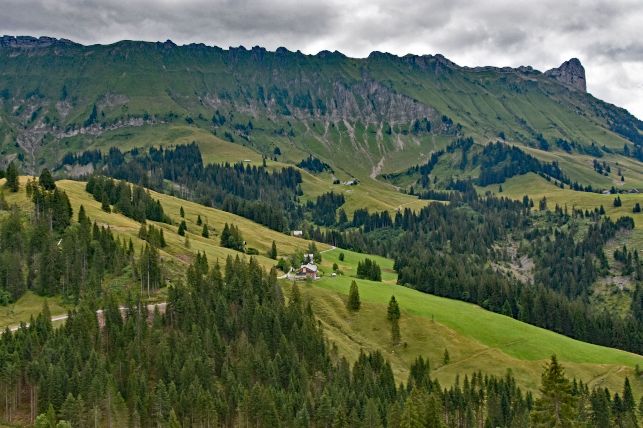
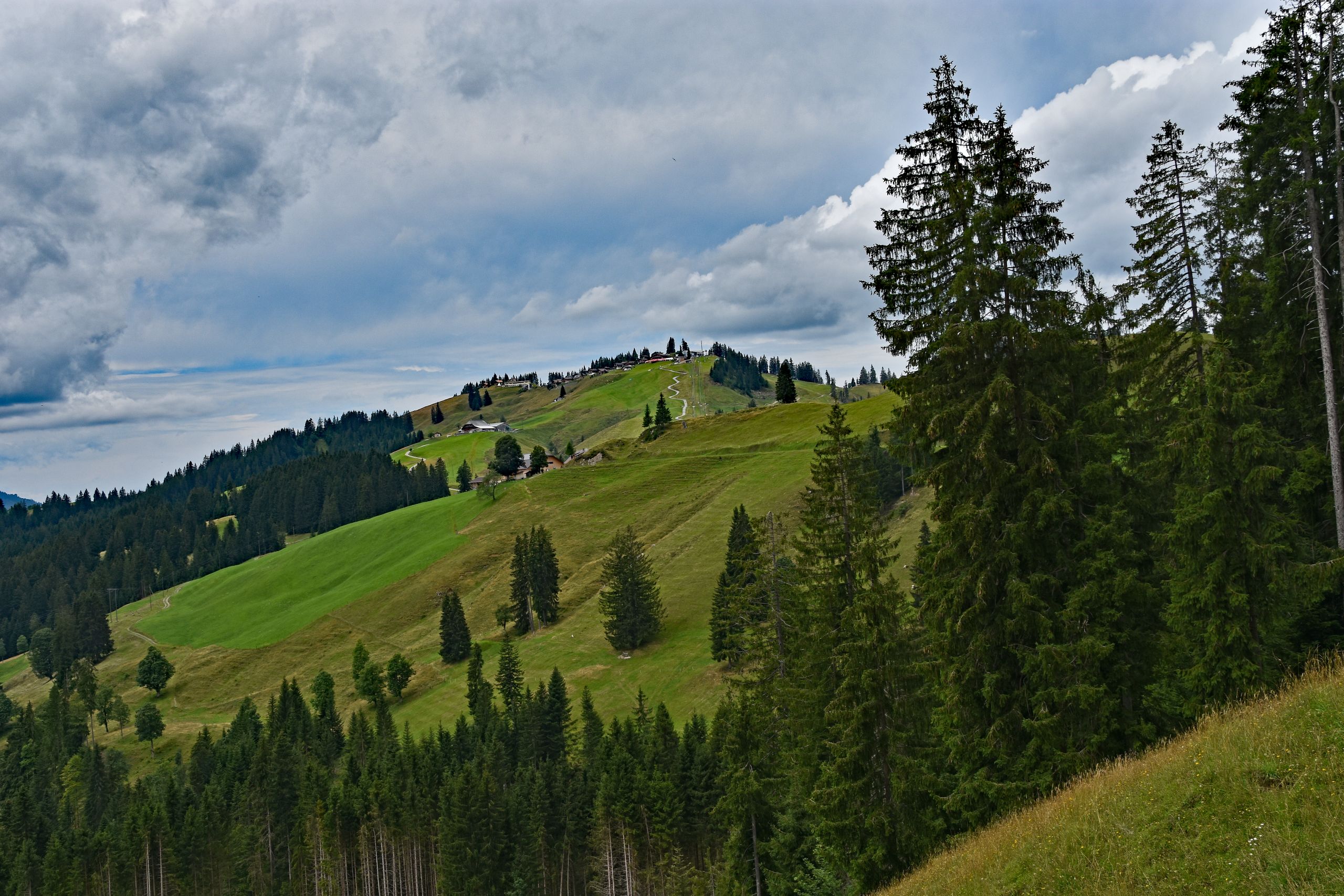
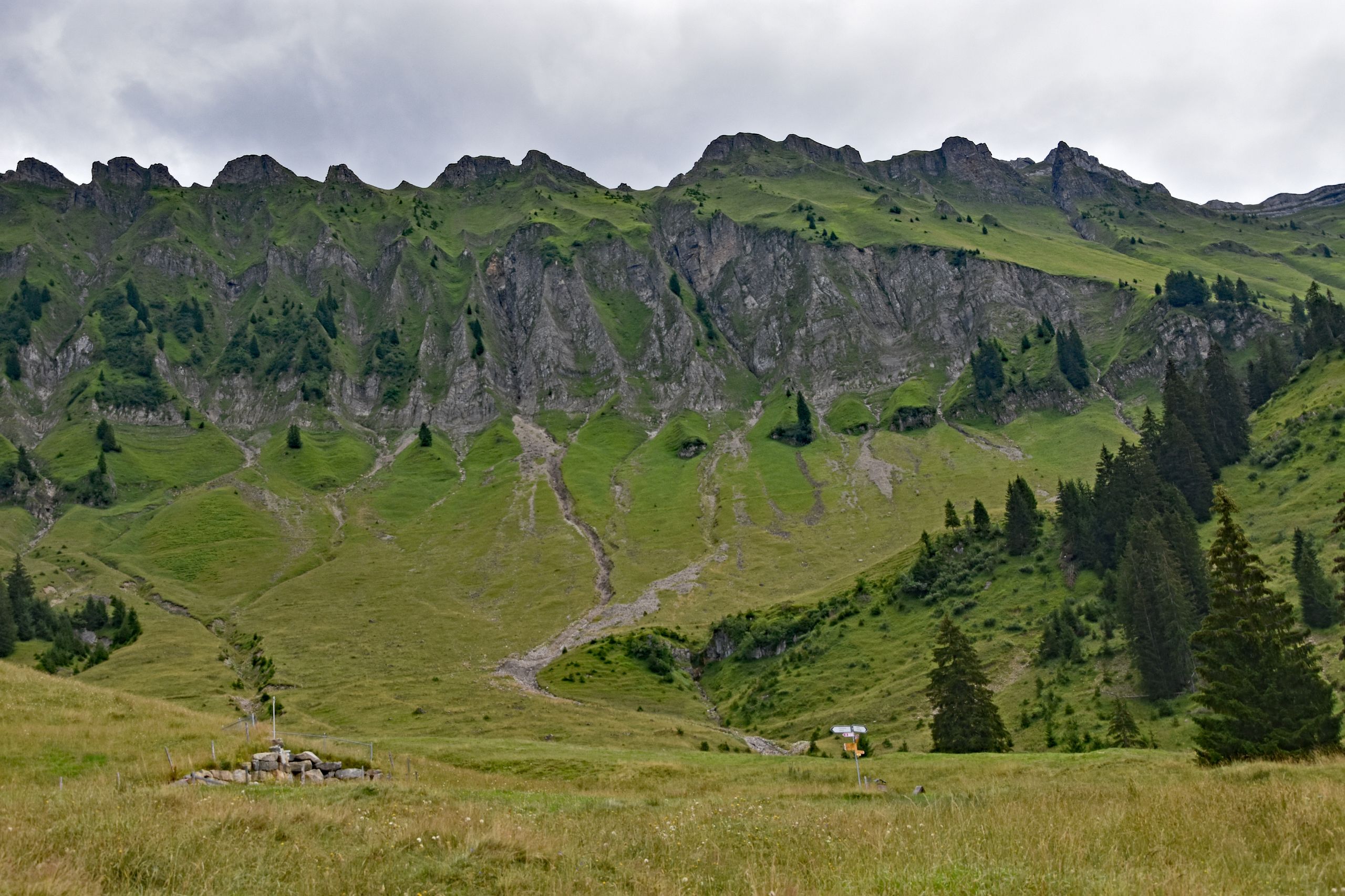
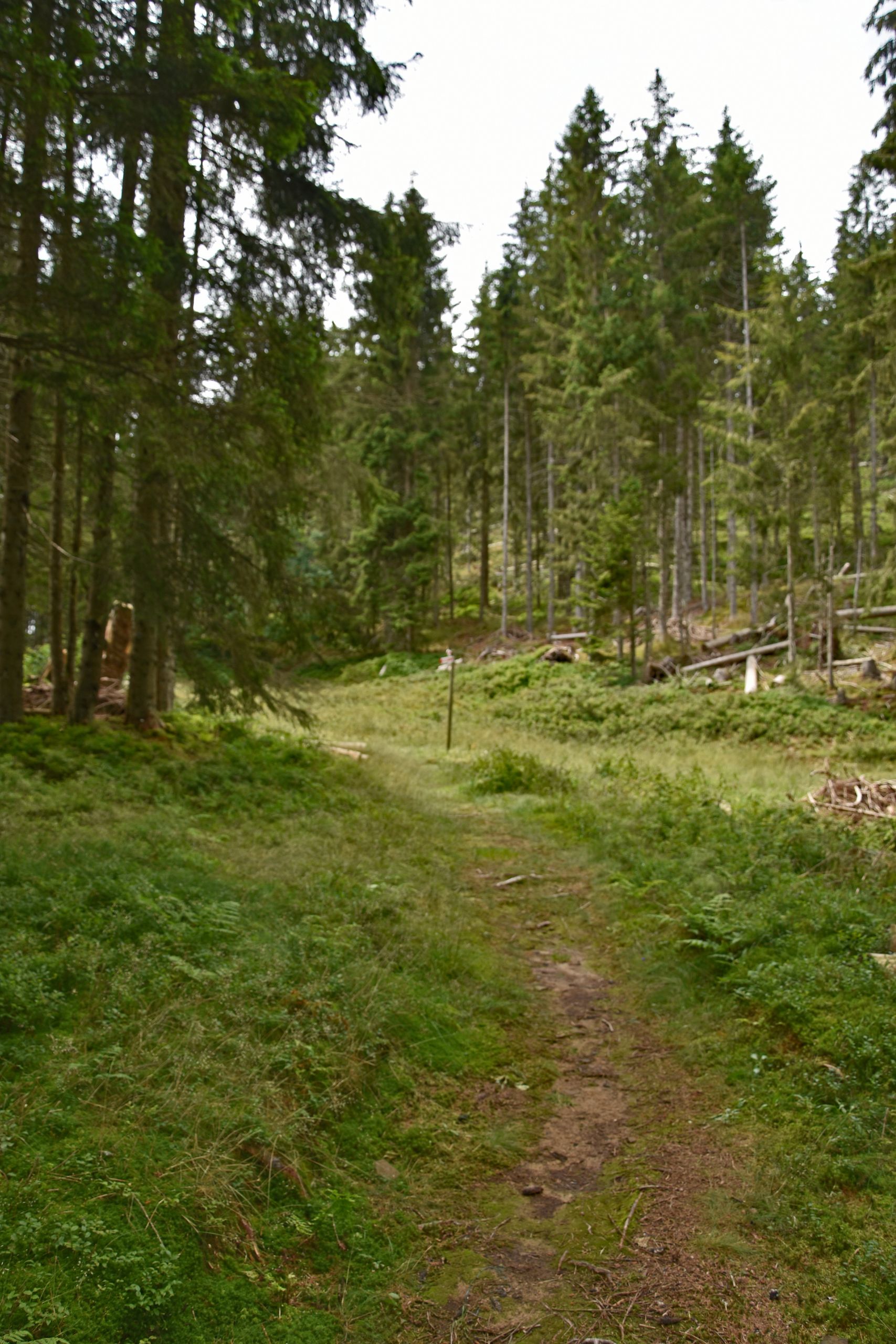
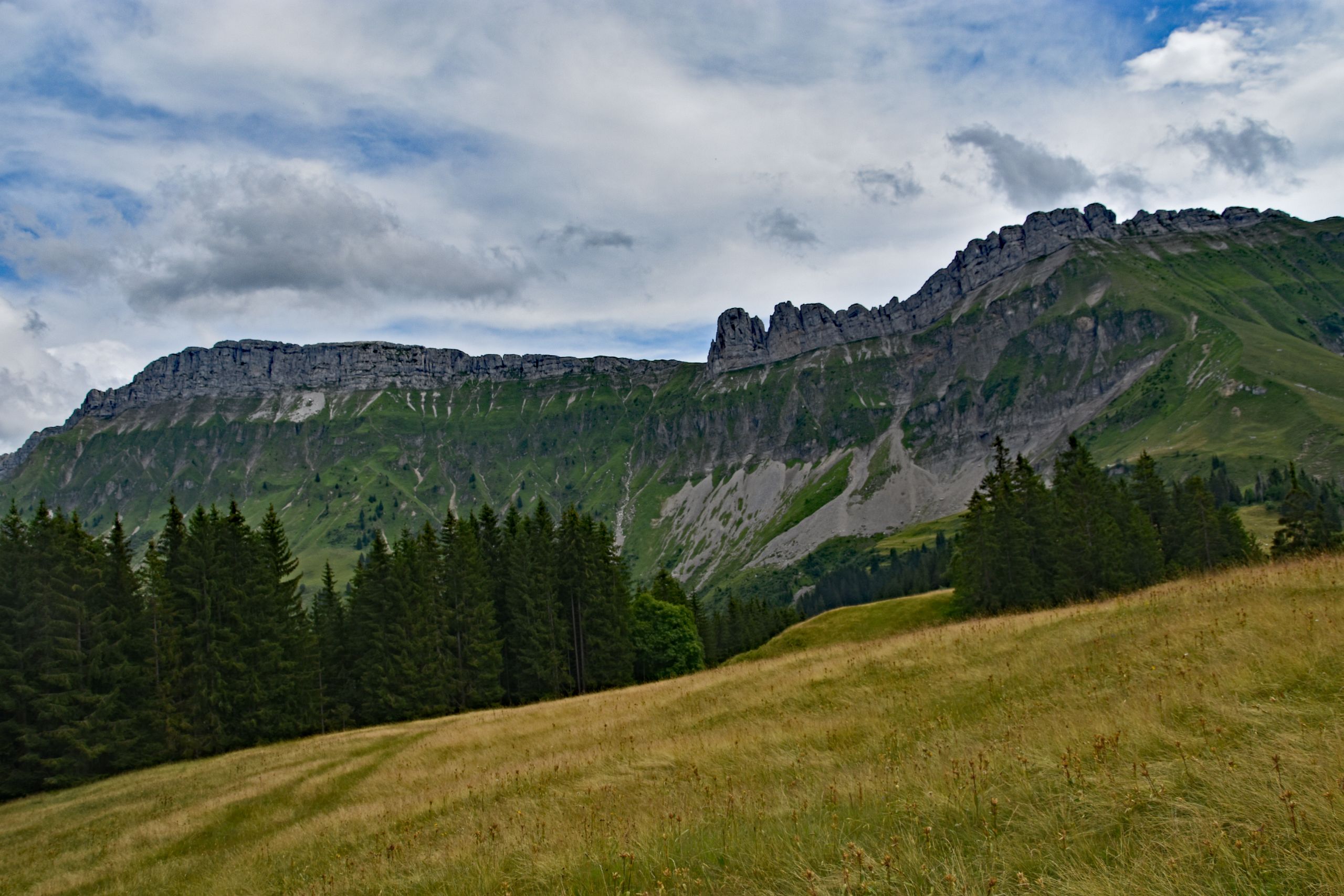
Soon enough, the steady descent toward Kemmeriboden began. A look back up toward the grassy summit ridge of Marbachegg showed me how many meters of elevation I had already left behind. The trail brought me closer and closer to the steep flanks of the mountains, where white scree gullies ran like fine veins through the emerald-green grassy slopes, ending right beneath the rugged rock pinnacles. Shortly after, I immersed myself in the soothing silence of a dense mountain forest. Along a soft, earthy path, I hiked through lush moss and ferns, surrounded by tall, slender spruces that filtered the bright daylight. When the forest thinned out again, the mountain meadows were already shimmering in a late-summer golden brown, and the first bright blue patches appeared in the cloudy sky above the jagged limestone walls of the Schrattenfluh.
Gallery 2: Between Steep Rock Walls, Mountain Forests, and Late-Summer Meadows
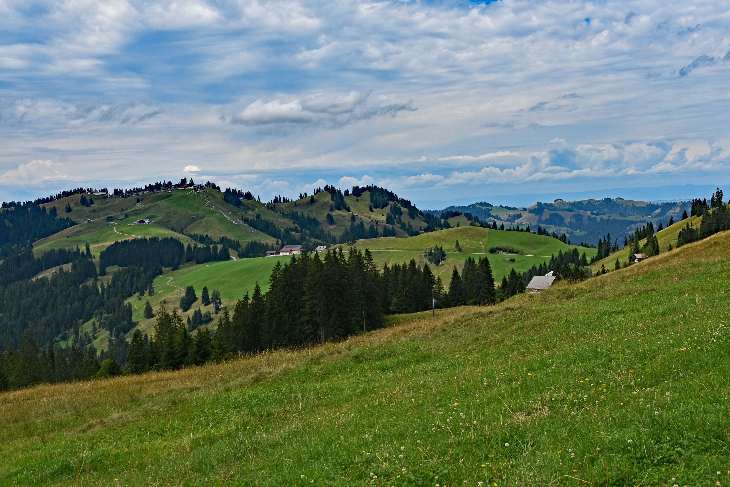
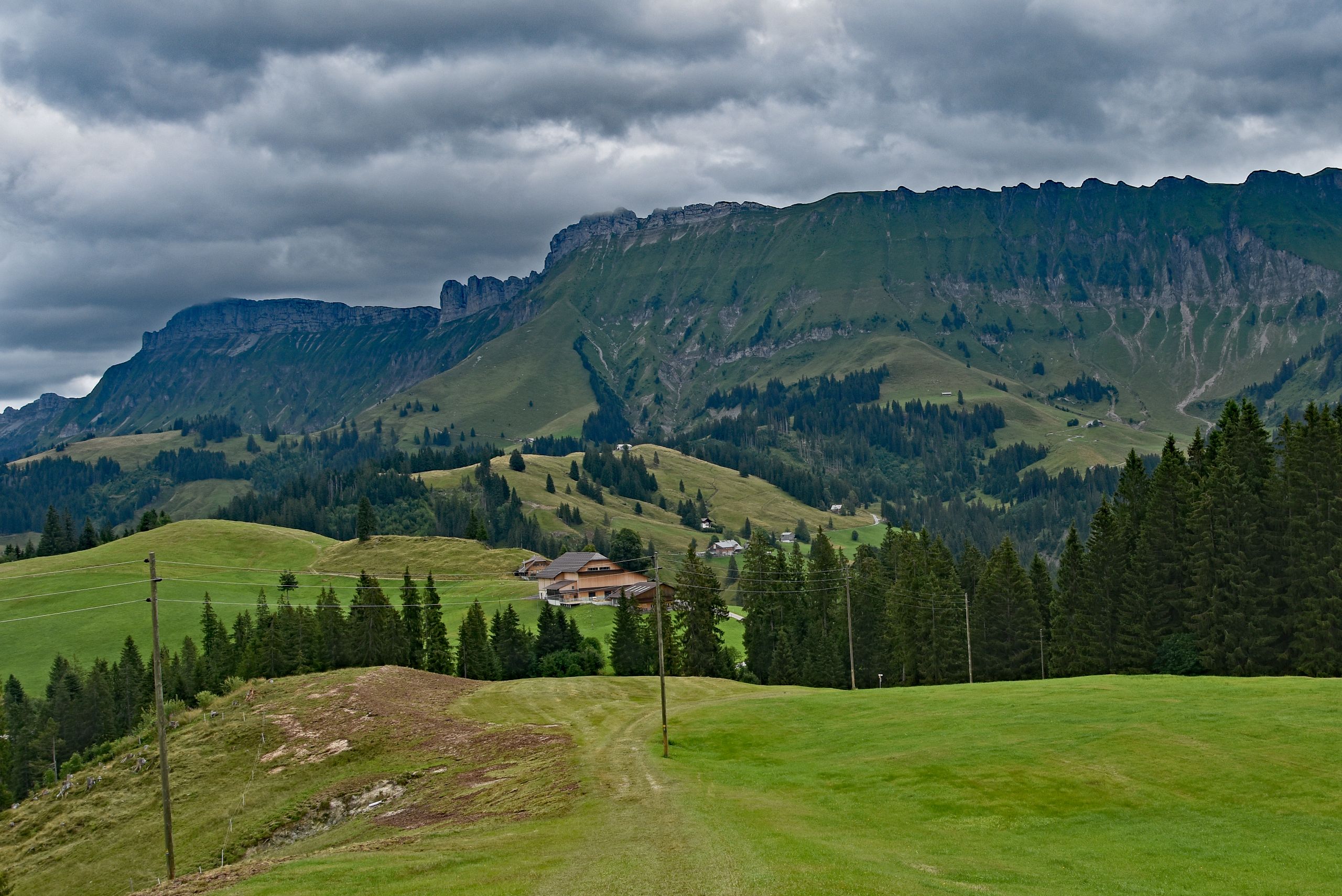
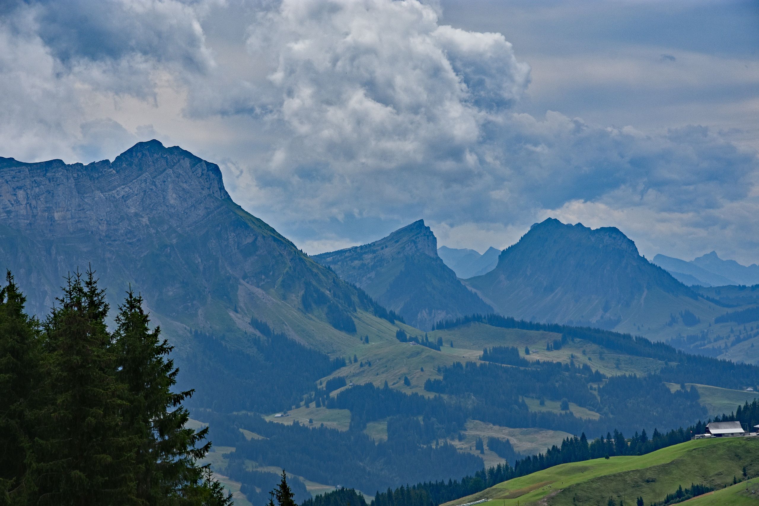
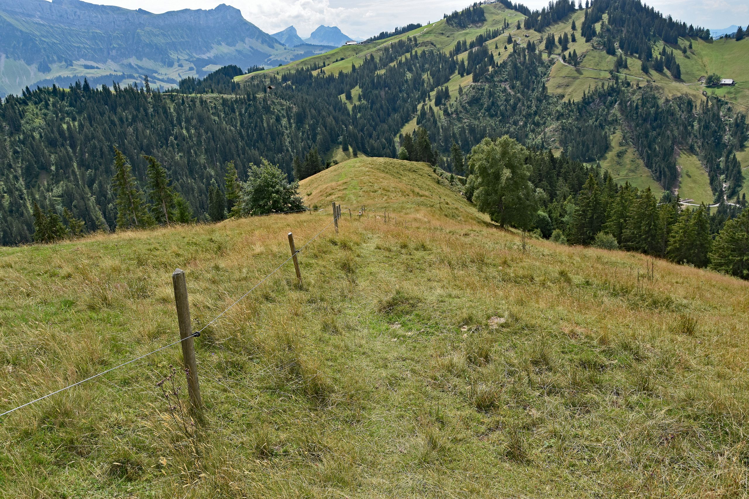
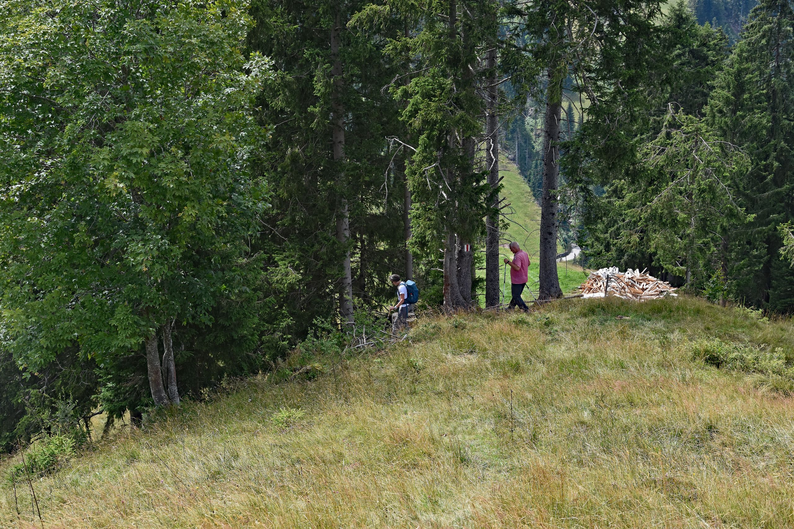
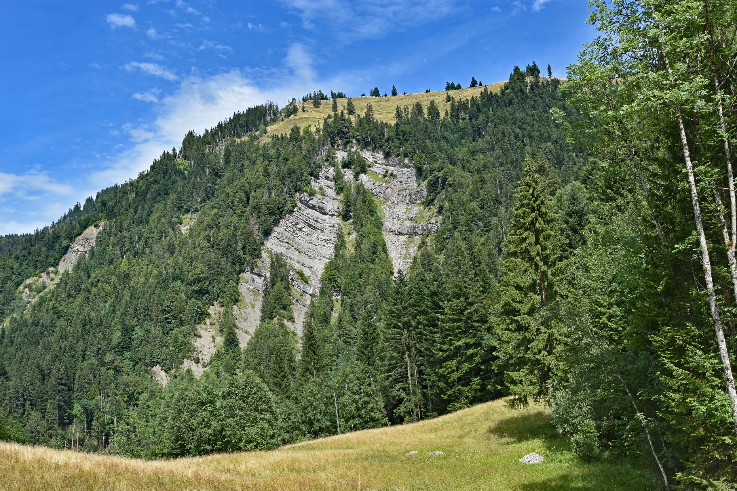
Further down, the panorama opened up to the southwest toward the Bernese Oberland. Above the dark coniferous forests and bright green pastures, the massive limestone block of the Hohgant and the characteristic, sloping peaks of the Sieben Hengste towered into the cloud-covered sky. I followed a narrow meadow path along a simple pasture fence across a scenic grassy ridge, high above the deeply carved valleys. Aside from the first few meters near the mountain station, I was almost entirely alone on the trail—only at the edge of the forest did a single hiking couple cross my path. Later, the cloud cover finally broke apart. The August sun bathed the steep, green alpine meadows beneath the light gray pinnacles of the Schrattenfluh and a solitary mountain farm in radiant light. On the final kilometers back to Marbach, however, I clearly felt what this long descent meant: arriving down in the valley, my knees ached intensely—I could not have walked another fifty meters downhill that day. Yet the final look back up at the diagonally layered gray rock walls above the green firs made up for every bit of effort.
Gallery 3: Distant Views, Sunlit Windows, and the Long Road Back to Marbach
Info Box: Tour Data and Stages
- Date: August 11, 2023
- Ascent: By gondola from Marbach (871 m a.s.l.) up to the Marbachegg mountain station (1,484 m a.s.l.)
- Stage 1: Marbachegg – Kemmeriboden-Bad (976 m a.s.l.) – Descent of around 510 vertical meters past alpine farms and mountain forests
- Stage 2: Kemmeriboden-Bad – Marbach (871 m a.s.l.) – Continued valley descent of around 105 vertical meters (including minor counter-climbs, a total of approx. 750 vertical meters downhill)
- Character: Scenic descent hike in the UNESCO Biosphere Entlebuch that is demanding on the knees